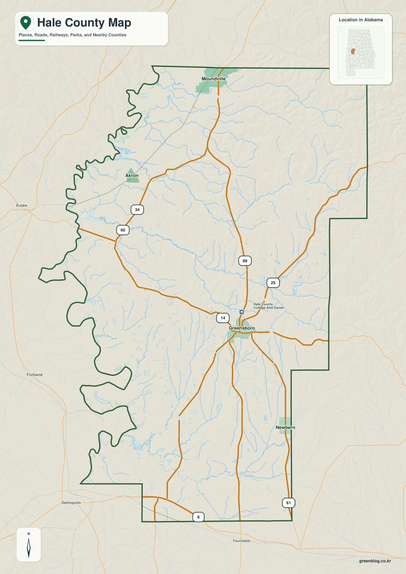
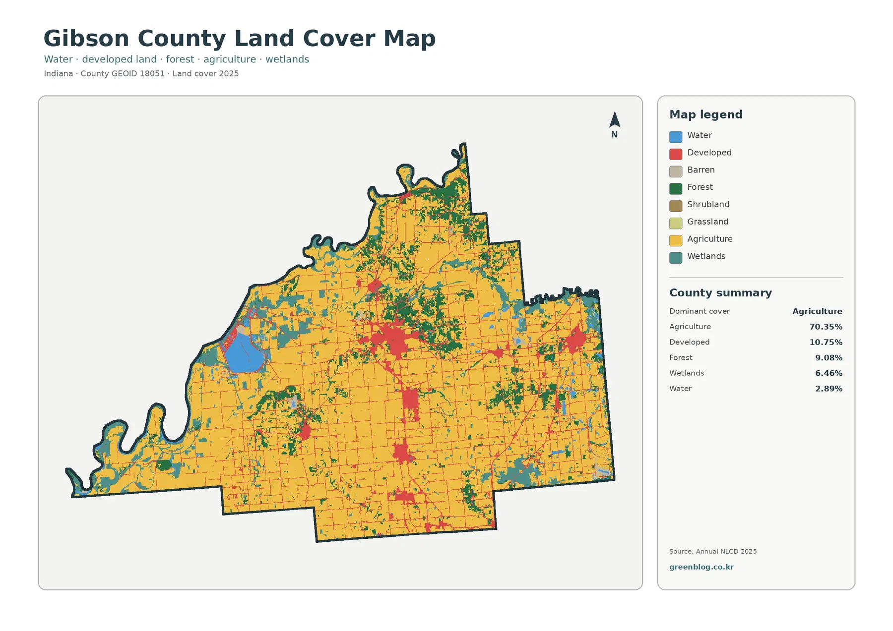
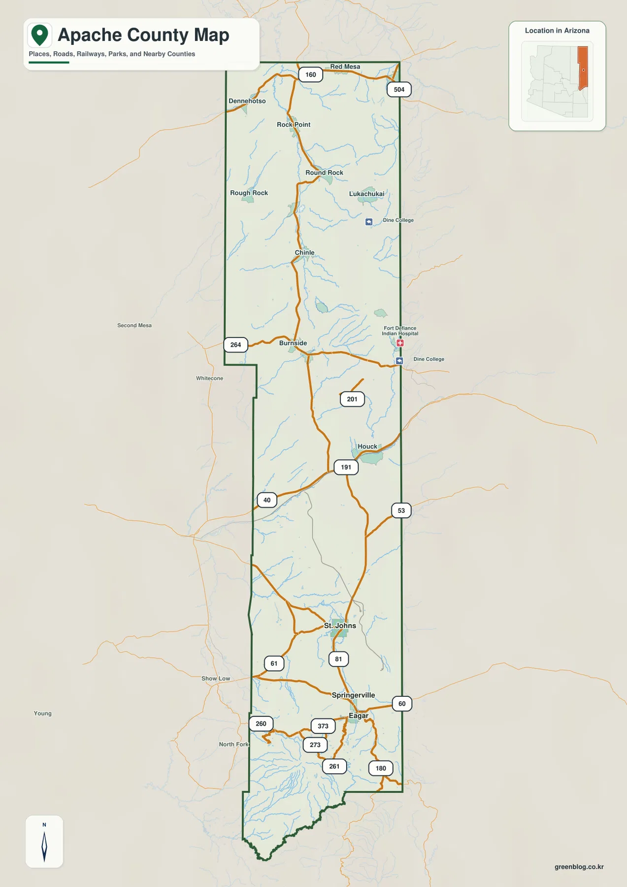
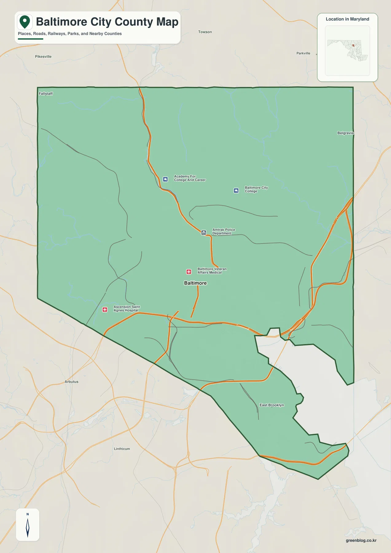
You can download four high-resolution Amite County map JPG files from this page in one ZIP, while the WebP versions below provide quick on-page previews. Amite County lies in southwestern Mississippi along the Louisiana state line, with Liberty serving as the county seat and Gloster standing out farther west. MS 24 is the easiest road to follow on the general map because it links those two places and continues across a landscape crossed by many smaller roads and streams. The maps also show the county boundary, settlement pattern, major branches of the Amite River, and the contrast between low stream valleys and higher ridges, so the downloadable files work well for printing, editing, classroom use, and local reference.
Amite County is easier to understand when the maps are read together rather than as four separate illustrations. The city view emphasizes just Gloster and Liberty, leaving large rural areas around them. The water map then shows why the interior is visually busy even without many large towns: the West Fork and East Fork of the Amite River are joined by numerous creeks and smaller drainage lines. The elevation map adds a third layer, showing low green corridors along those waterways and more strongly dissected ridges to the north and east. Together, those details give a clearer picture of a lightly settled county shaped as much by water and terrain as by its road network.
Table of Contents
Liberty and Gloster as the Main Map References
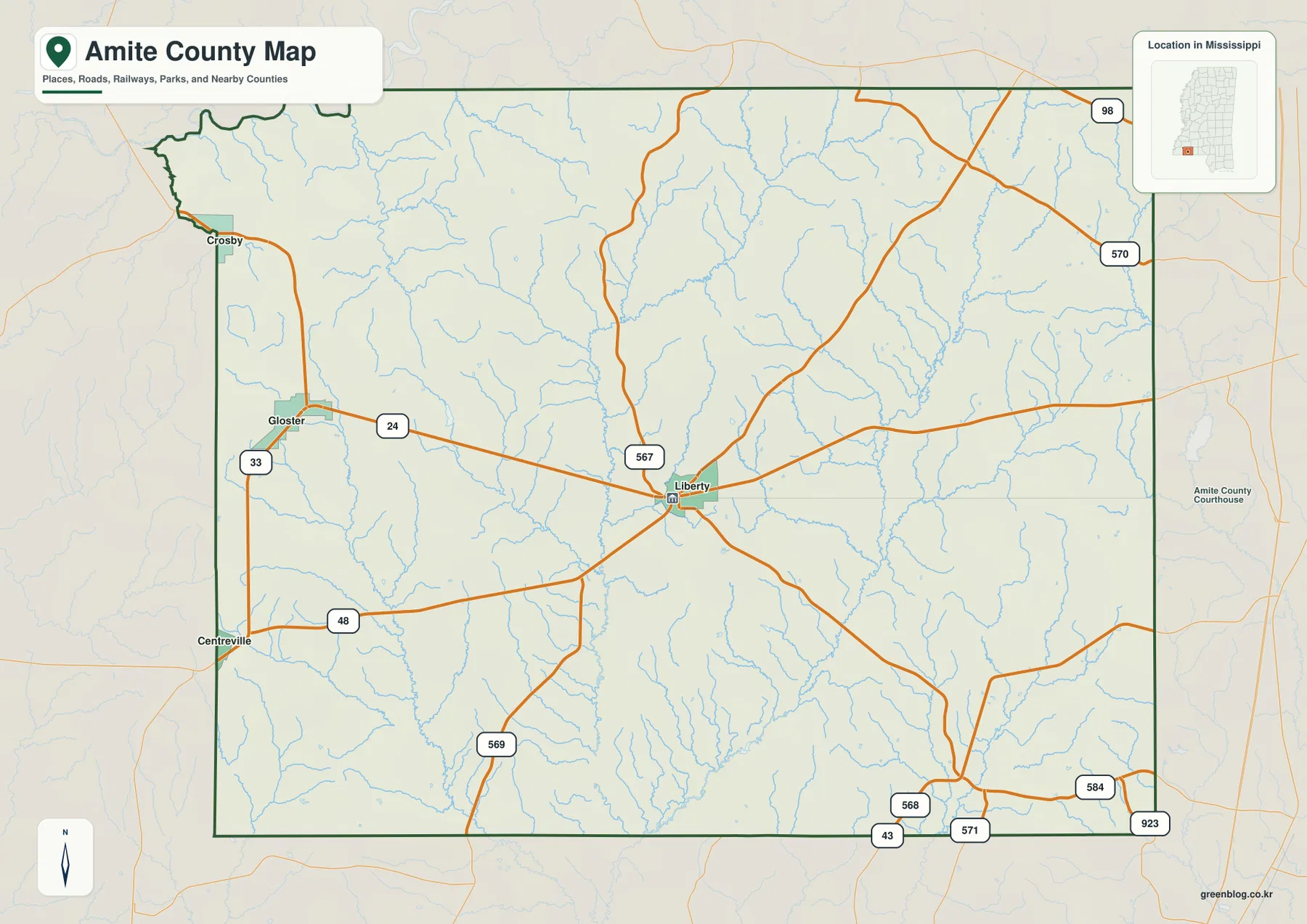
For a first look at Amite County, Liberty is the best place to begin. It sits near the middle of the county and is marked as the county seat, while several state roads meet or pass nearby. Gloster lies west of Liberty along MS 24, giving readers a second clear reference point for judging the county’s east-west span. The general map also shows nearby labels such as Crosby and Centreville toward the western side, but the most useful county-level comparison is the relationship between Liberty, Gloster, the surrounding road network, and the streams that fill the rural space between and around them.
The outer boundary also explains where Amite County fits within Mississippi. Franklin County and Lincoln County appear to the north, Pike County is on the east, and Wilkinson County is on the west. The southern edge meets Louisiana, so the county should be viewed as part of a border region rather than as an isolated inland block. Its northwest corner is irregular instead of perfectly rectangular, which makes the county outline easier to recognize when comparing it with neighboring counties on a larger Mississippi map.
MS 24 Across a Broad Rural Road Network
MS 24 is the clearest east-west route on the map. It enters from the Gloster side, passes through Liberty, and continues toward the eastern part of the county, making it a convenient line for understanding how the two main mapped cities relate to one another. Several other state routes branch away from or approach the Liberty area. MS 33 and MS 48 appear in the west, MS 567 runs through the central part of the county, and MS 569 extends southward. Near the northeast, US 98 and MS 570 provide additional regional references. The result is not a simple single-corridor county but a road system that fans out through a large rural area.
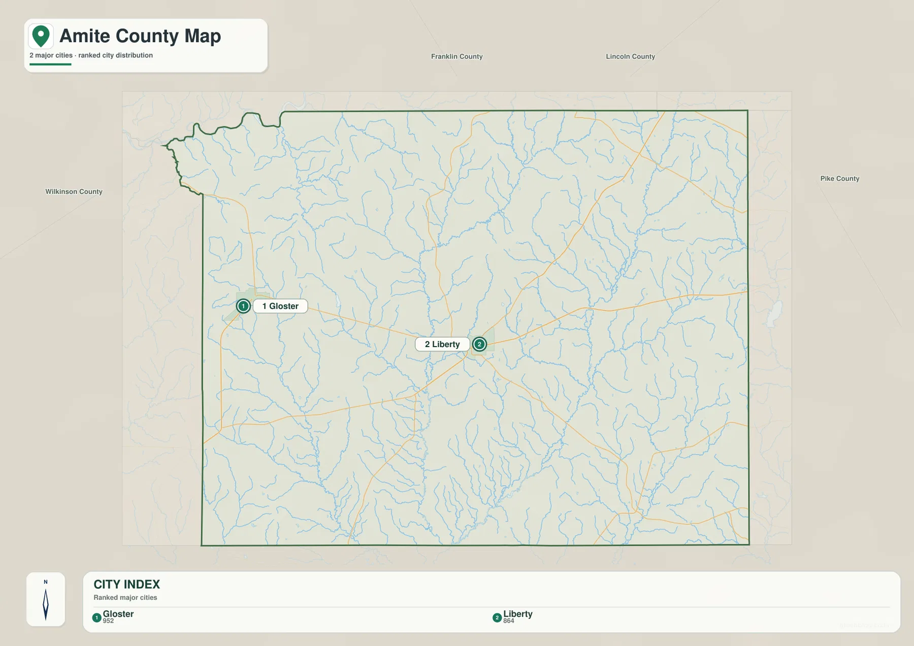
The city map strips away much of that detail and emphasizes only two ranked major cities: Gloster and Liberty. The map labels Gloster with 952 residents and Liberty with 864, figures that are useful as part of the city-ranking graphic rather than as substitutes for countywide population statistics. What matters visually is the spacing. Gloster occupies the western side, Liberty is closer to the center, and a substantial amount of land remains outside those compact settlement points. That pattern helps explain why the county can feel geographically large even though only a few town labels dominate the city map.
Smaller roads on the general map thread through the same areas occupied by dense stream networks. In practical terms, that means a straight-line comparison between two points is not always a good picture of the route a driver would actually follow. The map is not a navigation product and does not show current travel time, road closures, or pavement conditions, but it is useful for identifying the road that provides the basic orientation. For many readers, finding MS 24 first and then locating Liberty or Gloster is the quickest way to understand the rest of the county.
The Amite River Forks and a Dense Network of Creeks
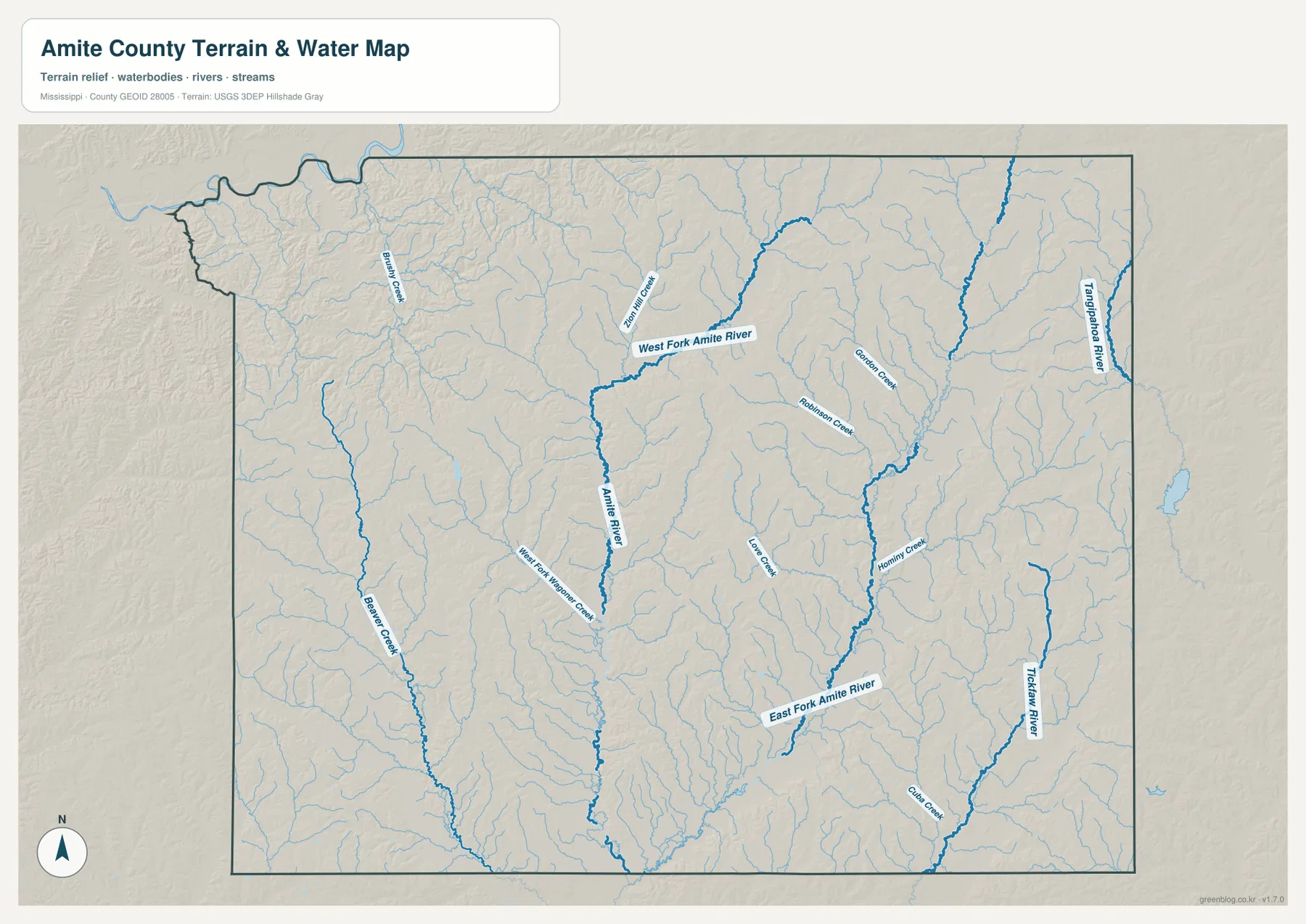
The terrain and water map changes the emphasis completely. Instead of roads and towns, the main reference is the Amite River system. West Fork Amite River runs from the northern interior toward the central part of the county and joins the broader Amite River corridor. East Fork Amite River is prominent in the southeastern part of the map, where it is connected with Hominy Creek and numerous smaller tributaries. Starting with those two named forks makes the many blue lines easier to organize because the smaller creeks can then be seen as parts of a larger drainage network rather than as unrelated features.
The western and eastern sides add further detail. Beaver Creek is one of the longer named streams on the west side, while the eastern edge includes the Tangipahoa River and Tickfaw River as strong reference lines. Names such as Robinson Creek, Gobbler Creek, and Hominy Creek appear within the interior. There is no single large lake dominating the county map; instead, water is represented primarily by rivers, forks, and many narrow tributaries. That distinction is useful for anyone who expects a water map to be centered on a reservoir or broad lake surface.
The stream pattern also helps explain why the shaded terrain looks so deeply cut in many places. Valleys follow the waterways, and the ridges between them create a repeated branching texture across the county. This map can help with regional orientation, watershed discussions, or explaining where named streams lie relative to the county boundary. It should not be used as a floodplain map, a water-depth chart, or a statement about public access. Those questions require separate official data designed for those purposes.
Low Stream Valleys Between Higher Ridges
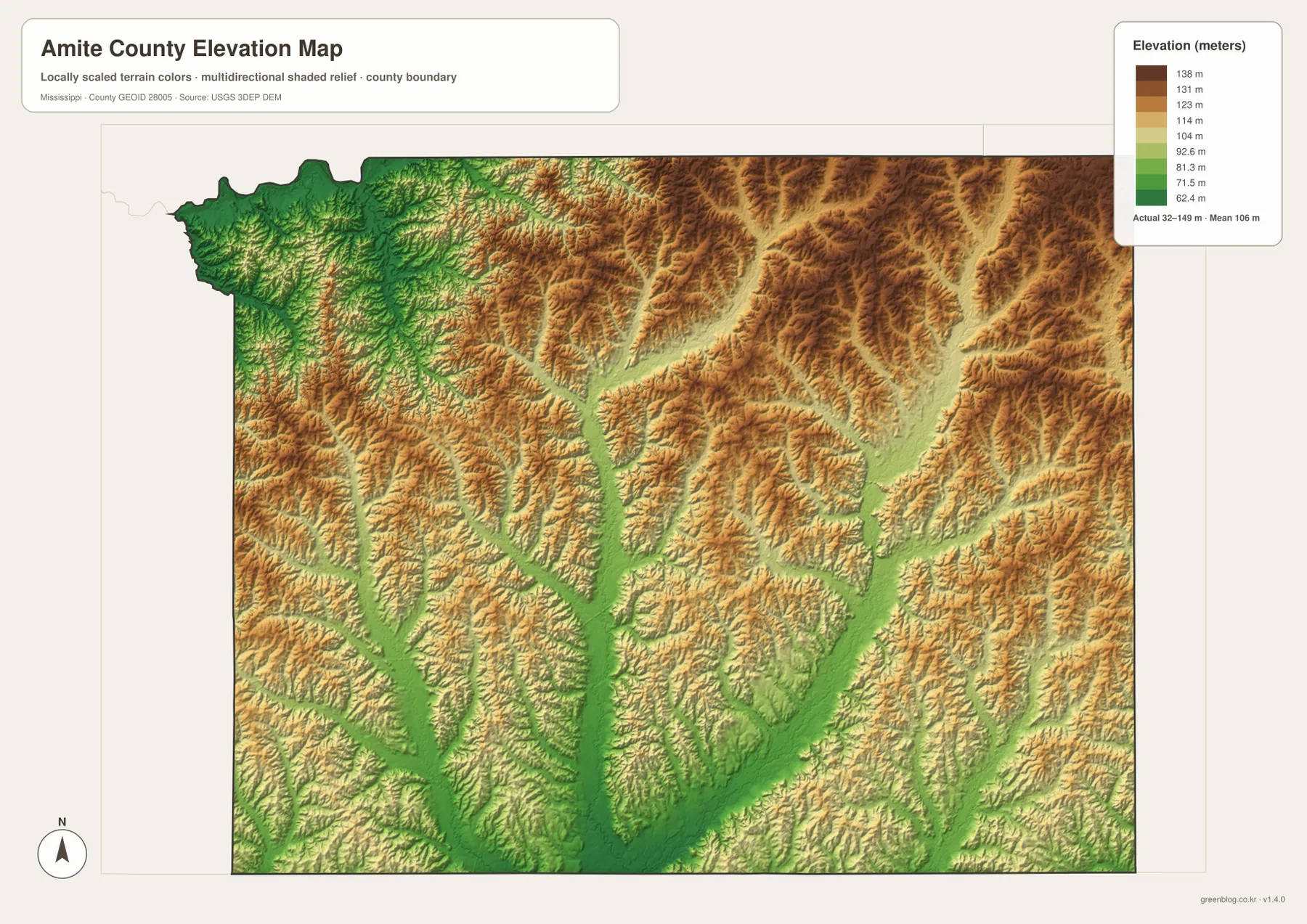
The elevation map shows an actual elevation range of roughly 32 to 149 meters, with a mean of about 106 meters. Those numbers are more informative when paired with the color pattern. Green areas form long, branching corridors that correspond to lower valleys, while yellow and brown areas mark higher ground. The north-central and northeastern parts of the county contain some of the broadest higher ridges, giving those areas a noticeably more rugged appearance than the major stream corridors.
Lower ground extends along several waterways through the western, central, and southern portions of the county. Short ridges project into those low corridors from both sides, producing the dendritic, branch-like relief visible in the shaded map. When the water and elevation maps are compared, the relationship is straightforward: the named rivers and creeks occupy many of the lower lines, while the land between them rises into rolling ridges. Amite County is therefore not mountainous, but it is also not a uniformly flat plain.
The elevation colors are scaled for this county, so a brown patch here should not be compared directly with a brown patch on a separately scaled county map. The legend’s meter values are the better reference. The elevation image is based on USGS 3DEP terrain data and is useful for broad geographic explanation, but it is not a replacement for surveyed elevations needed for engineering, construction, property work, or other precise measurements.
Population and Area Put the Rural Scale in Context
U.S. Census Bureau figures in the supplied material list 12,720 residents in the 2020 census and a July 2025 estimate of 12,487. Those figures come from different reference dates and should not be treated as if they were two measurements taken under identical conditions. Even so, they provide useful context for a county with more than 730 square miles of land. The wide spaces between Gloster, Liberty, and other map references are therefore meaningful parts of the county’s geography rather than simply missing labels.
- County: Amite County, Mississippi / FIPS 28005
- County seat: Liberty
- 2020 census population: 12,720
- July 2025 population estimate: 12,487
- 2025 Gazetteer area: 730.100 sq mi land, 1.497 sq mi water
- 2020 population divided by land area: about 17.4 residents per sq mi
The countywide average of about 17.4 residents per square mile is a scale indicator, not a description of where every household is located. Settlement is more concentrated around towns and roads, while large parts of the mapped area remain rural. The water figure of 1.497 square miles may also seem small compared with the dense blue lines on the water map, but the two measures describe different things: narrow streams can cover little total surface area while still creating an extensive network across the landscape.
The River Name and Forested Rural Background
The supplied county background notes that Amite County takes its name from the Amite River, an especially fitting detail when compared with the water map. The river is not merely a label near the edge of the page; its forks and tributaries form some of the strongest geographic features inside the county. The existing source material also notes that part of the northern county is associated with Homochitto National Forest. That helps place the broad rural and wooded setting in context, although the maps on this page are not forest-management maps and do not draw detailed ownership or administrative boundaries for national forest land.
Agriculture and timber are also identified in the existing county material as important parts of the area’s history. Those references help explain why a county with a relatively low population density can still have an extensive road network and named communities spread across a large area. They should not be read as a current parcel-by-parcel land-use classification. The four maps provided here show county geography, settlements, roads, water, and elevation; they do not show property ownership, zoning, crop type, or present-day forest boundaries.
Choosing the Map That Fits the Question
The general county map is the best starting point when the goal is to see Liberty, Gloster, MS 24, other major roads, streams, and neighboring counties together. The city map is deliberately simpler and works well when only the relative positions of Gloster and Liberty matter. For river names and tributaries, the terrain and water map provides far more detail than the general view. The elevation map is the better choice when the subject is the contrast between low valleys and higher rolling ground.
- County map: best for Liberty, Gloster, MS 24, regional roads, and neighboring counties
- City map: best for a clean comparison of the two ranked major cities
- Terrain and water map: best for the Amite River forks, Hominy Creek, and other named waterways
- Elevation map: best for the 32–149 m range and the contrast between valleys and ridges
The page previews are usually sufficient for quick reference, but the JPG originals are the better choice for large displays, printouts, or reuse in documents. The downloadable ZIP contains only the four map types described here. It does not include land-cover classifications, flood hazards, parcel boundaries, or other specialized layers. For a presentation, the general map may be enough on its own; for a lesson or report about physical geography, pairing the water and elevation maps makes the relationship between streams and terrain much easier to explain.
Frequently Asked Questions
How can I quickly find Liberty and Gloster on the map?
Find MS 24 first. Gloster is on the western side of the county along that route, while Liberty is closer to the center and serves as the county seat. The city map reduces the surrounding detail and highlights just those two ranked major cities, making their relative positions especially easy to compare.
Where are the West and East Forks of the Amite River?
On the terrain and water map, West Fork Amite River runs from the northern interior toward the central part of the county, while East Fork Amite River is prominent farther southeast. Hominy Creek and many smaller tributaries connect to this broader river system, so the water map is the clearest choice when those features are the main subject.
Is Amite County mostly flat?
No. The supplied elevation map ranges from about 32 to 149 meters, with an average near 106 meters. Lower valleys follow many of the streams, while higher rolling ridges are especially visible in the north-central and eastern parts of the county. The relief is not mountainous, but the repeated ridges and valleys are clear on the shaded map.
Map File Information
The WebP images on this page are optimized for online viewing. The ZIP below contains the larger A3-proportion JPG originals for printing, editing, classroom use, or insertion into documents.
- File Type: ZIP containing 4 JPG files
Related Maps
Sources and References
Population, area, roads, and county background are supported by the public references already supplied with the post package. The hydrography and elevation links below are also standard official sources relevant to the map layers shown on this page.
- U.S. Census Bureau QuickFacts – Amite County
- U.S. Census Bureau Gazetteer Files
- Mississippi Encyclopedia – Amite County
- Mississippi Department of Transportation official highway map
- USGS National Hydrography
- USGS 3D Elevation Program
Green Map creates custom-edited map images using open geographic data sources such as geoBoundaries, Natural Earth, OpenStreetMap, and government open data. These maps are edited visual materials, not raw data files, and are provided for education, documents, presentations, and graphic reference.