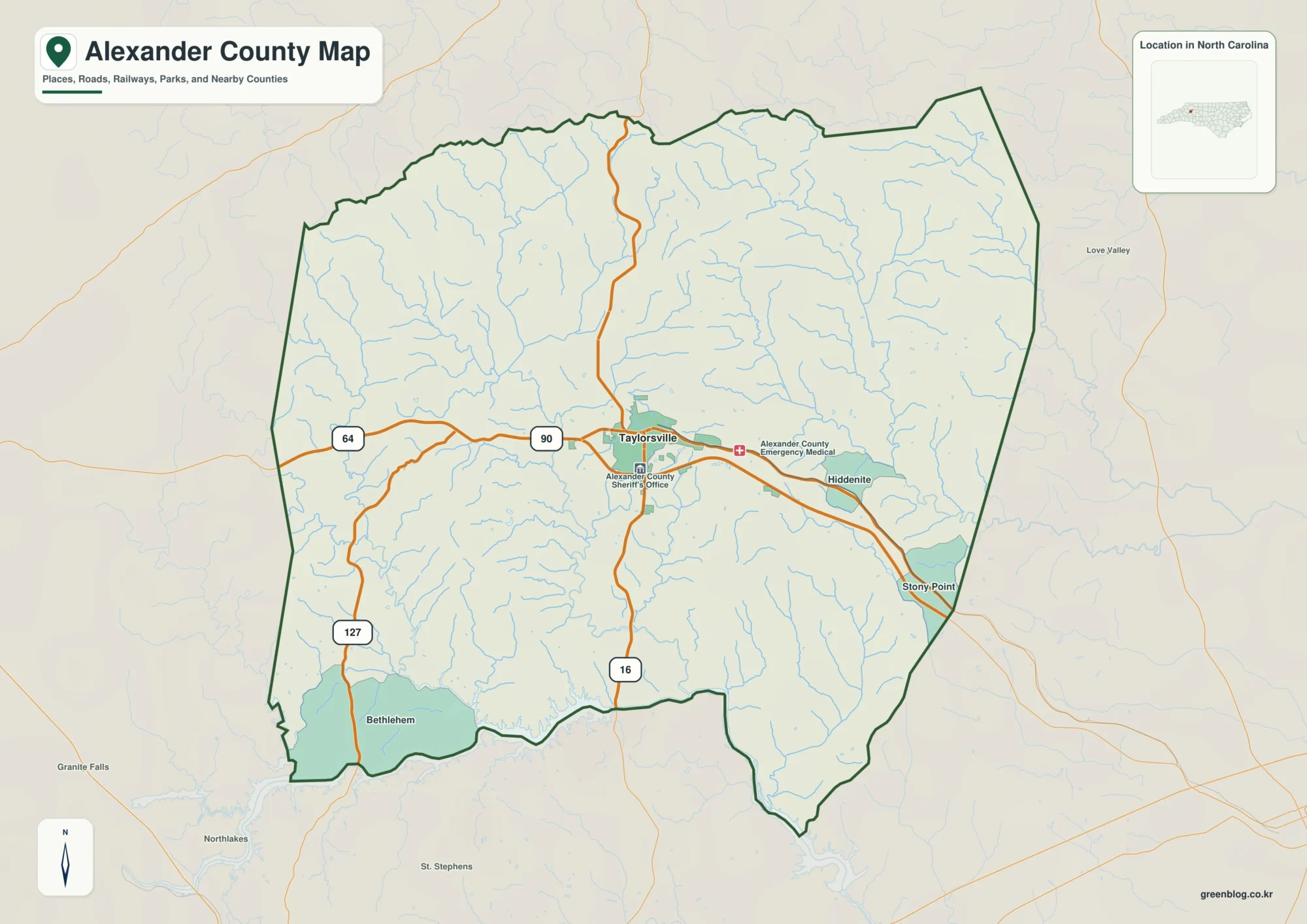
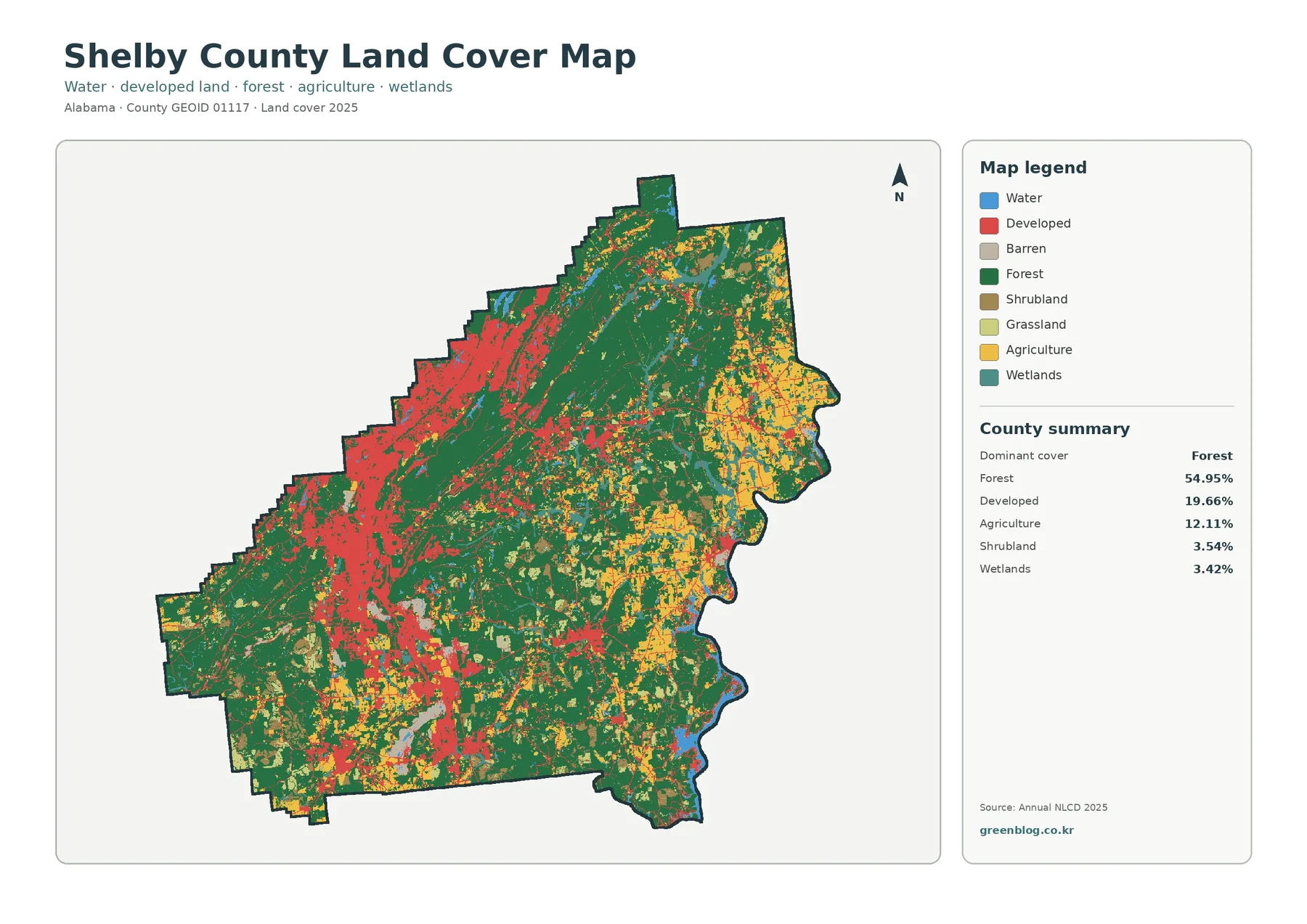
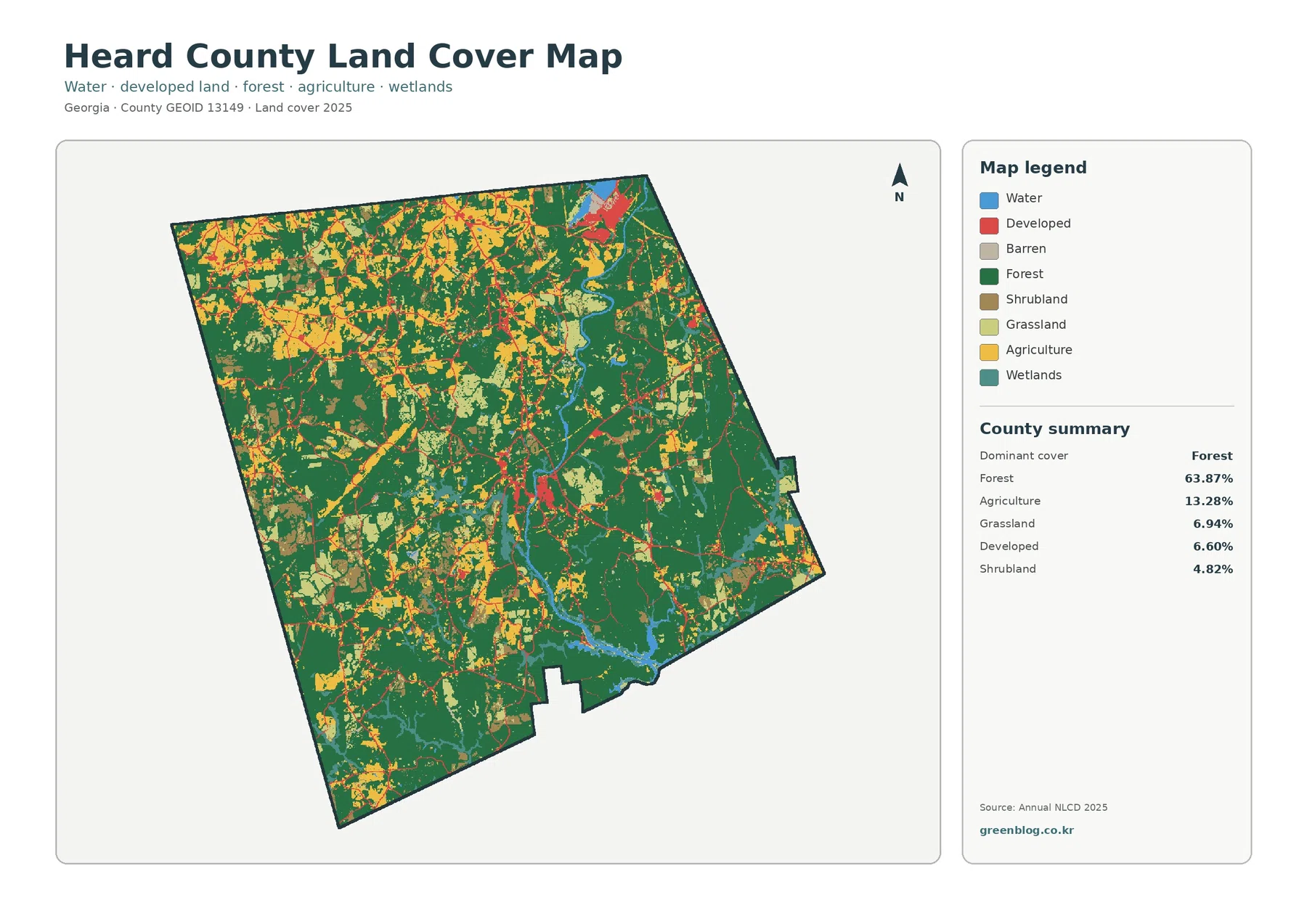
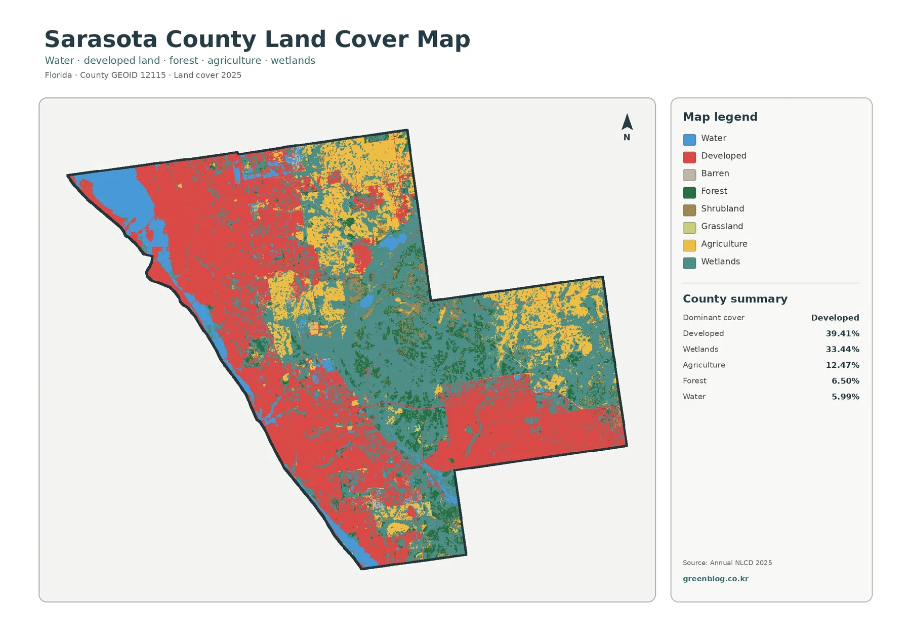
Download the high-resolution A3 JPG ZIP for the Grainger County Map directly from this page; it contains the county, city, water, and elevation maps used below. Rutledge is the county seat near the middle of the county, Blaine lies to the southwest, and Bean Station sits at the eastern end beside the broad Holston River–Cherokee Lake water area. Between the Clinch River side in the northwest and the reservoir side in the southeast, a long high ridge gives Grainger County one of the clearest ridge-and-valley patterns in this map series.
The county is easiest to understand by using Rutledge as a central reference and then looking in two directions. West and southwest lead toward Blaine and lower rolling terrain, while east leads toward Bean Station, US 25E, and the large water body around the Holston River. North of the main settlement corridor, rugged ridges and creek valleys continue toward the Clinch River. The elevation map confirms that the county is not a simple low basin around Cherokee Lake; high terrain runs through its length and separates several distinct drainage corridors.
Table of Contents
Rutledge sits between Blaine and Bean Station, but each place has a different role
The city map uses Blaine as its hub and labels Blaine at 3,213 residents, Bean Station at 3,016, and Rutledge at 1,676. Straight-line connectors show about 13 miles from Blaine to Rutledge and about 25 miles from Blaine to Bean Station. Those values are not road mileage; they are a simple way to compare how far the three main city references are spread across the county.
Rutledge is the county seat even though the city map gives Blaine and Bean Station larger population labels. It lies near the central road corridor and close to the mapped Grainger County Sheriff’s Office. Blaine is useful for orienting the southwest toward Knox and Union counties, while Bean Station is the strongest eastern reference near Hamblen and Hawkins counties and the Cherokee Lake side.
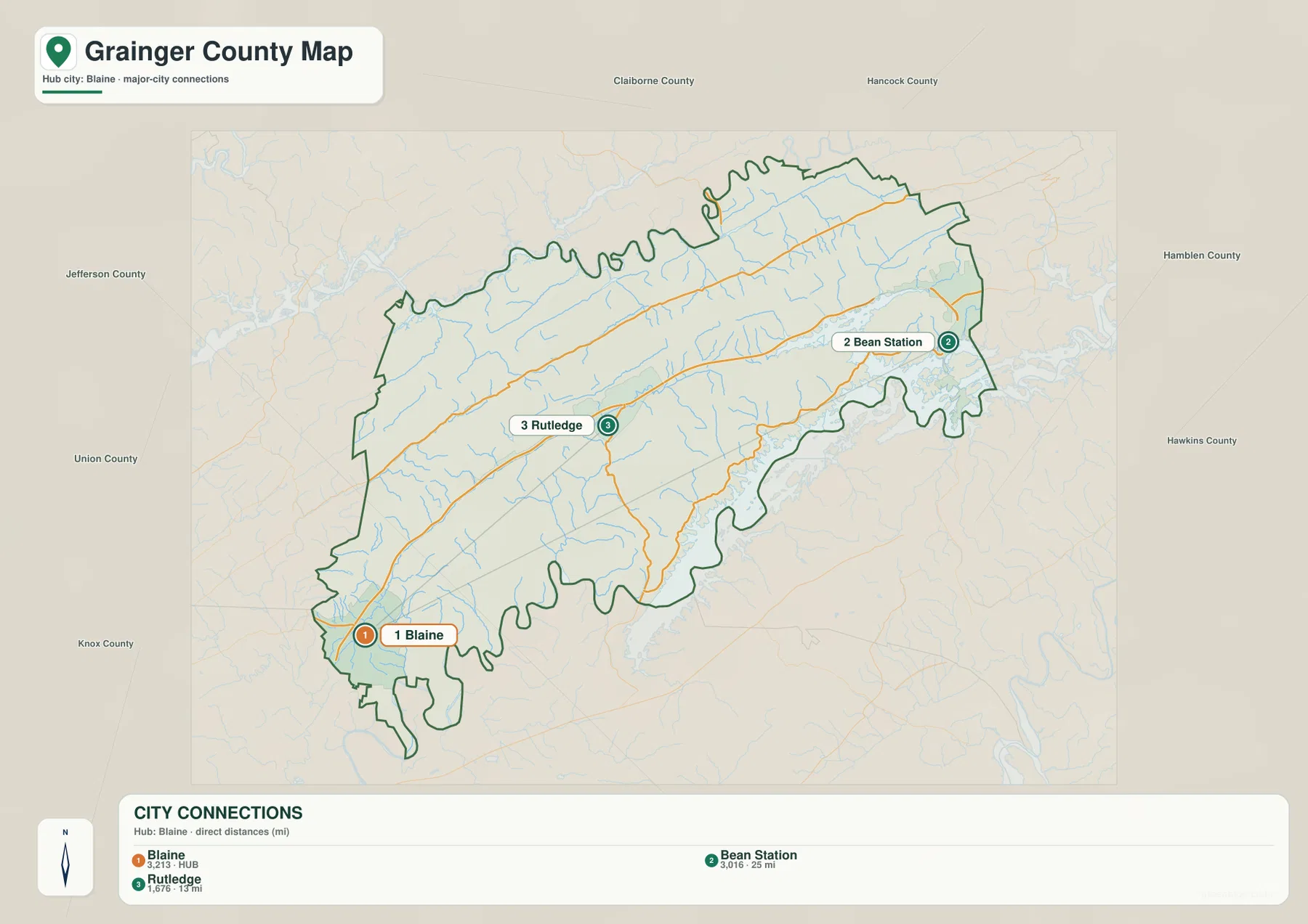
The outer labels include Claiborne, Hancock, Hamblen, Hawkins, Jefferson, Knox, and Union counties. They help explain the long east–west shape of Grainger County. Blaine is much closer to the southwestern county connections, Bean Station is close to the eastern edge, and Rutledge remains the practical middle reference when switching between the two sides.
US 11W ties the county together while US 25E provides the eastern north–south route
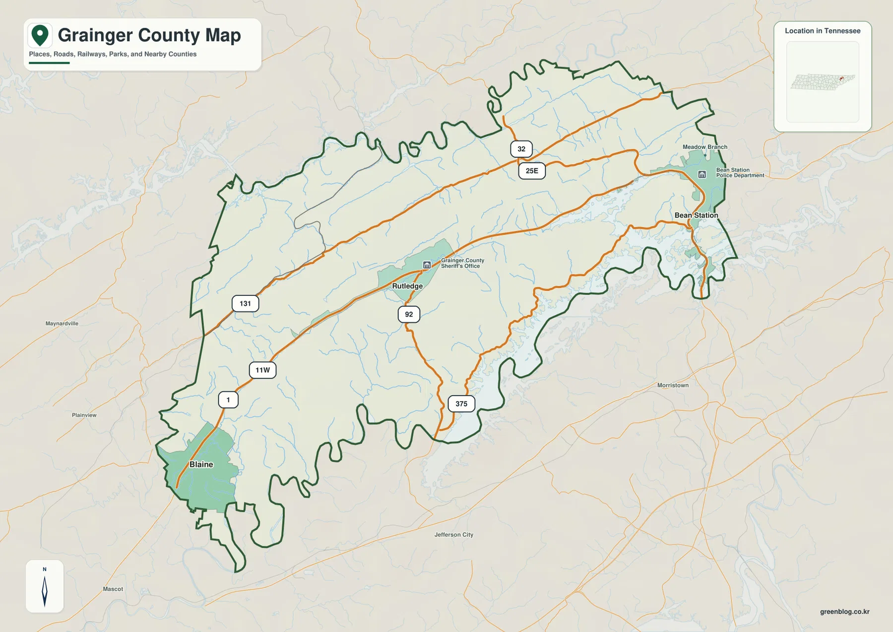
US 11W is one of the clearest long routes on the base map. It enters from the Blaine side, passes through the central county near Rutledge, and continues toward the east. State Route 1 is shown with the western portion of this corridor, making the road an easy first line to follow before the smaller state routes are considered.
Near Bean Station, US 25E becomes the main north–south reference. State Route 32 is visible in the northern section, Route 92 runs south from the Rutledge area, and Route 375 reaches toward the southeastern boundary. Route 131 serves the western and northwestern side. These roads cross a county where ridges and creek valleys repeatedly interrupt straight travel, so the elevation map explains many of their bends and route choices.
The Bean Station area shows the road-and-water relationship especially clearly. US 25E passes close to the broad reservoir arms connected with the Holston River and Cherokee Lake, using narrow land and valley corridors between water and higher ground. West of Rutledge, the terrain opens into wider rolling sections, but routes toward the northern ridge still use limited gaps and lower passages. For quick orientation, US 11W, US 25E, and Route 92 provide enough structure before smaller roads are added.
Clinch River and Holston River frame two very different sides of Grainger County
The strongest water reference on the northwestern side is the Clinch River. Bull Valley Creek and Williams Creek feed the surrounding drainage, while Puncheon Camp Creek follows a narrow valley through the rugged northern terrain. On both the water and elevation maps, this part of the county has closely spaced ridges and channels rather than one broad flat floor.
The eastern and southeastern side is dominated by the Holston River and the reservoir water associated with Cherokee Lake near Bean Station. Long arms of water reach into the county boundary, producing a shoreline that is much more indented than the interior around Rutledge. Indian Creek and Briar Fork are visible in the northeast, and Richland Creek forms a longer interior drainage south of the main ridge.
Several smaller named waters provide local reference points. Corbin Lake and Lea Lake appear in the western half, while Cave Pond sits farther toward the central-southern area. They do not shape the county as strongly as the two rivers and the reservoir, but they are useful when matching a road or creek valley to a specific part of the map. A practical reading order is Clinch River first, Holston River and Cherokee Lake second, then Richland Creek, Indian Creek, or Williams Creek as needed.
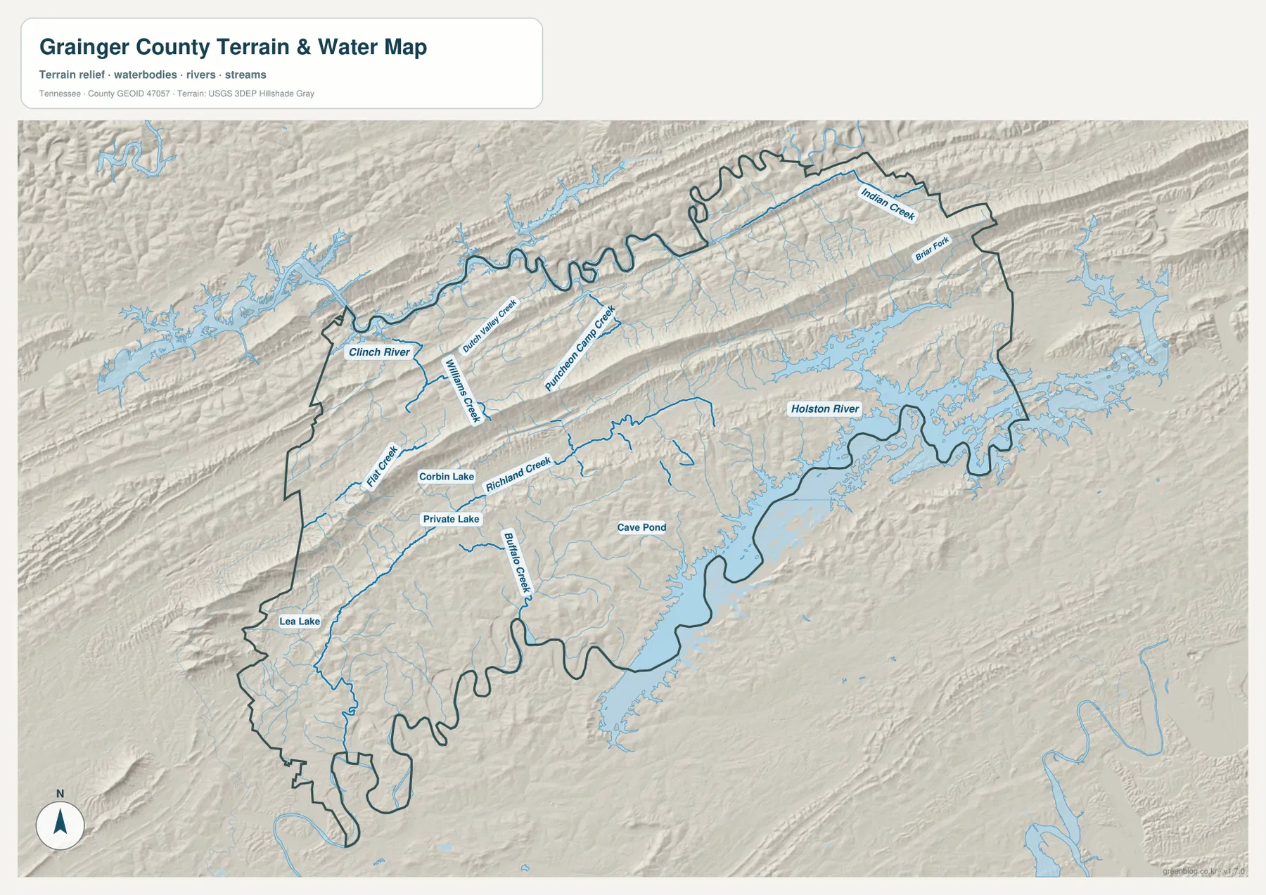
This layer is intended for geographic comparison rather than current water conditions. It does not define flood limits, navigable access, shoreline ownership, or a water level for a particular date. Its main value here is showing where roads and towns sit in relation to river valleys, reservoir arms, and the higher ridges between them.
A 259–765 m range makes the long central ridge impossible to miss
The elevation map shows an actual range of about 259 to 765 meters, with a mean near 391 meters. The most striking feature is a long brown ridge running from southwest toward northeast through the county. This high line corresponds to the major mountain ridge described in local references as Clinch Mountain and separates lower terrain on the Rutledge–Bean Station side from another set of rugged valleys toward the Clinch River.
South of the ridge, green terrain is broader around Rutledge and Blaine, with rolling hills broken by narrow stream valleys. Near Bean Station and the Holston River–Cherokee Lake water, lower elevations extend around reservoir arms and valley floors. The abrupt color change between those areas and the high ridge makes the local relief much more obvious than it appears on the base road map.
The north side is not flat either. Secondary ridges and valleys continue toward the Clinch River, and low green corridors line up with creeks such as Williams Creek, Puncheon Camp Creek, and Indian Creek. Grainger County therefore works better as a repeated ridge-and-valley landscape than as a simple two-level county with one mountain and one lowland.
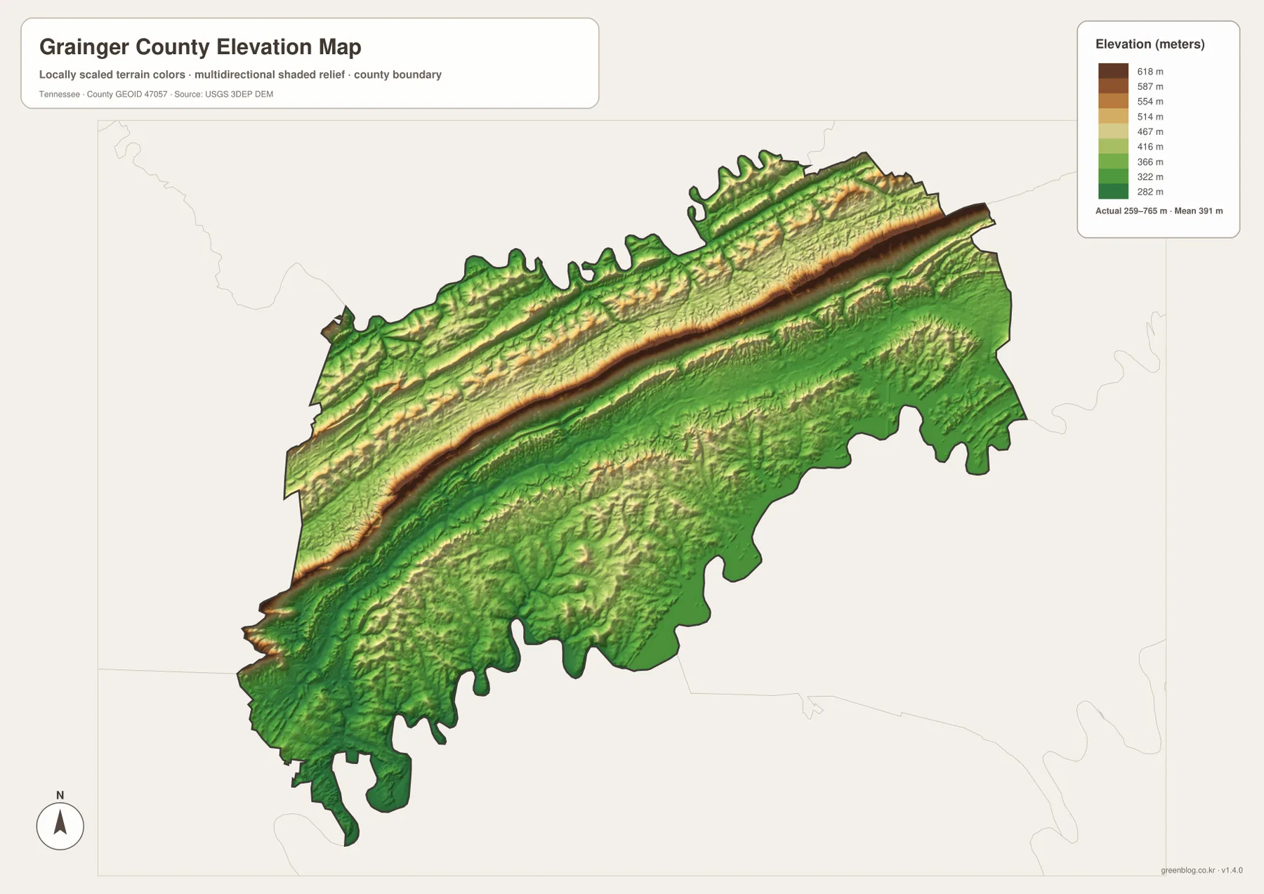
The colors are intended for relative terrain comparison across the county. They are not a survey-grade elevation for a specific property, but they clearly explain why roads use gaps and lower corridors and why water is concentrated in valleys beside steep ridges. US 11W and US 25E are especially useful lines to compare against the elevation surface.
Rutledge links the two river sides and the county’s main settlement corridor
The city map first establishes the long Blaine–Rutledge–Bean Station relationship. The county map adds US 11W as the main east–west road and US 25E as the eastern north–south line. The water layer then places the Clinch River on the northwestern side and the Holston River–Cherokee Lake water on the eastern and southeastern side, with the high ridge lying between these drainage areas.
Rutledge makes sense as the county seat when those layers are considered together. It lies between the two outer city references and near the central road corridor, with Route 92 turning south from the area. Blaine and Bean Station may carry larger population labels on the city map, but county-seat status and city size describe different roles and should not be treated as the same thing.
Choose the map according to the question. The city map is the cleanest for the Blaine–Rutledge–Bean Station distances. The county map is better for roads and boundaries, the water map is best for the Clinch and Holston river systems and Cherokee Lake, and the elevation map makes the long ridge and lower valleys easiest to see.
Choosing and downloading the A3 JPG maps
The WebP images in the article are convenient for quick viewing, while the JPG originals in the ZIP are better for printing, enlargement, and offline reference. For a route-focused page, mark Rutledge and only the destination town and main road needed on the county map. Use the city map separately when straight-line distance and town position are more important than the local road network.
For water-focused work, keep the Clinch River, Holston River, and Cherokee Lake labels on the water map instead of placing them over the road network. The elevation image is most useful in color because the long high ridge and lower valleys are carried by terrain shading. A3 output also leaves more room for creek names and route numbers than the browser preview.
The downloadable ZIP contains the high-resolution A3 JPG originals for the county, city, water, and elevation maps shown on this page. They can be used for classroom comparison, presentations, route notes, regional study, or personal offline storage when a larger image is more useful than the web preview.
Frequently Asked Questions
How are Rutledge, Blaine, and Bean Station positioned on the city map?
Rutledge is the county seat near the middle of the county, Blaine is to the southwest, and Bean Station is at the eastern end. The city map uses Blaine as its hub and shows about 13 miles straight-line distance to Rutledge and about 25 miles to Bean Station.
Where are the Clinch and Holston river systems?
Clinch River follows the northwestern side of the county. Holston River and the broad Cherokee Lake reservoir area are on the eastern and southeastern side near Bean Station. A long high ridge and several creek valleys lie between the two water systems.
Sources and reference data
County boundaries and general location can be compared with U.S. Census Bureau TIGER/Line. Local history and county reference material are available from the Tennessee State Library and Archives Grainger County fact sheet, and the US 11W corridor can be compared with the Tennessee Department of Transportation Grainger County reference map.
For broader hydrography reference, see USGS National Hydrography. Elevation data can be compared with the USGS 3D Elevation Program. The descriptions on this page are based on the towns, roads, water features, and elevation patterns visible in the supplied Grainger County maps.
Map File Information
Download the high-resolution A3 JPG originals for the Grainger County county, city, water, and elevation maps shown in this article.
- Included Files: County map, city map, water map, elevation map
- File Type: ZIP containing 4 JPG files
Related Maps
Green Map creates custom-edited map images using open geographic data sources such as geoBoundaries, Natural Earth, OpenStreetMap, and government open data. These maps are edited visual materials, not raw data files, and are provided for education, documents, presentations, and graphic reference.