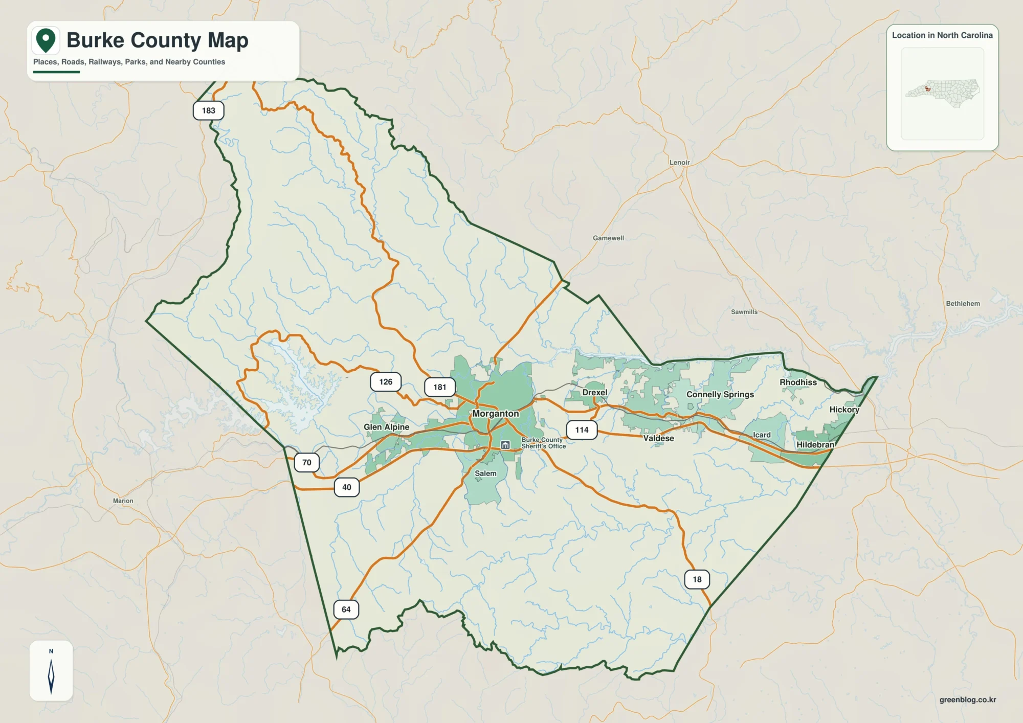
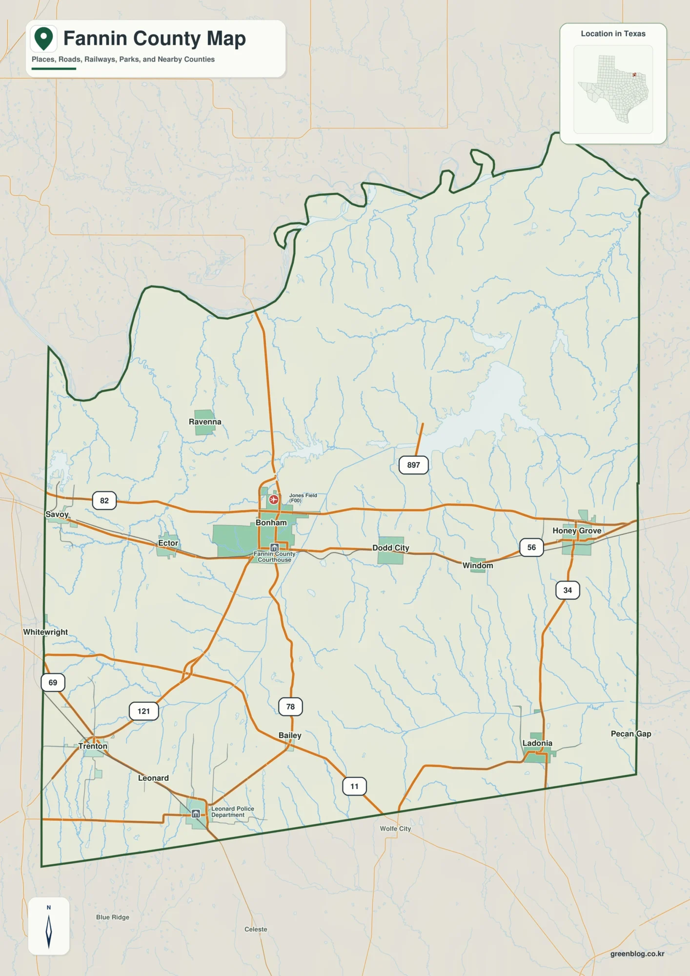
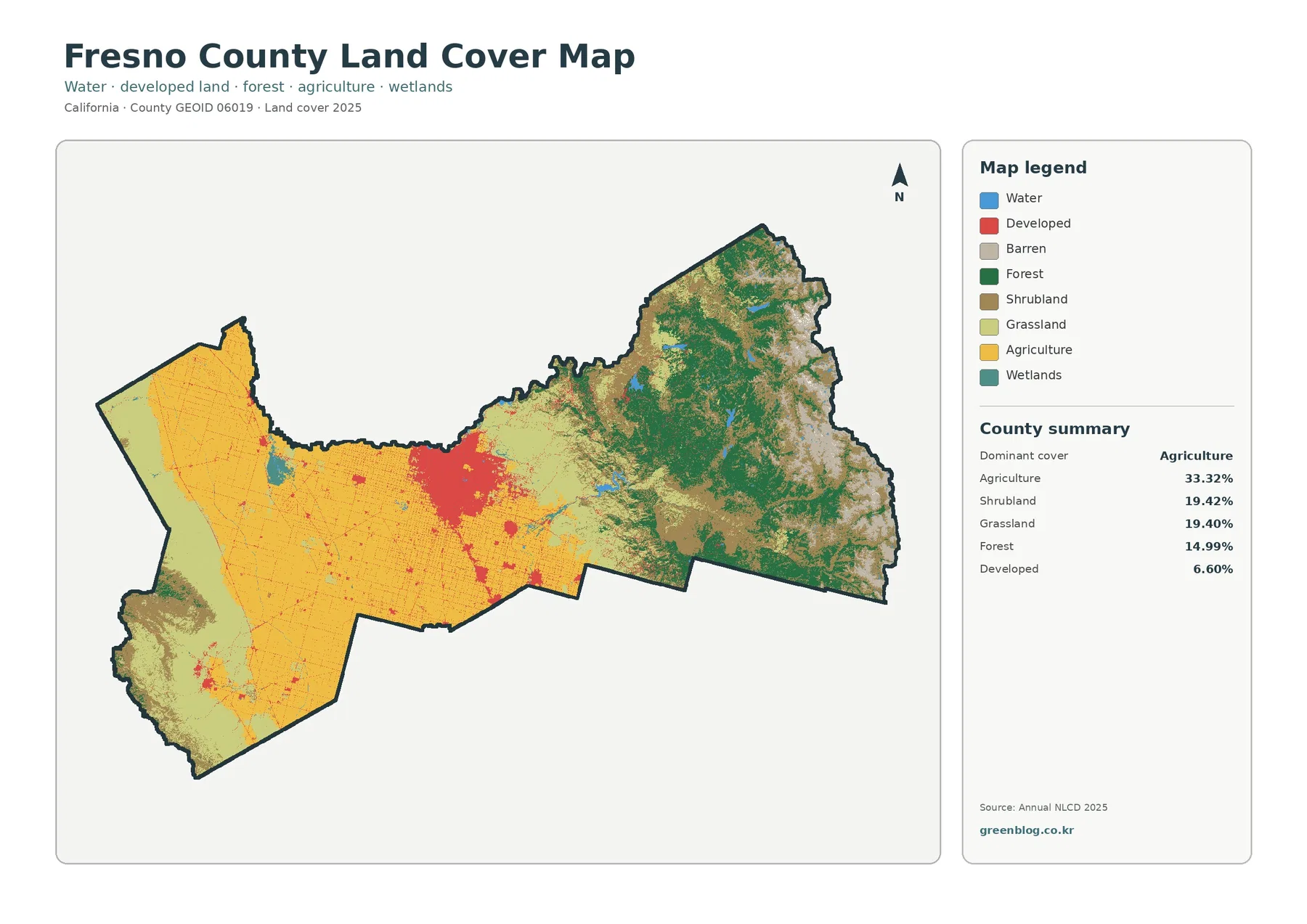
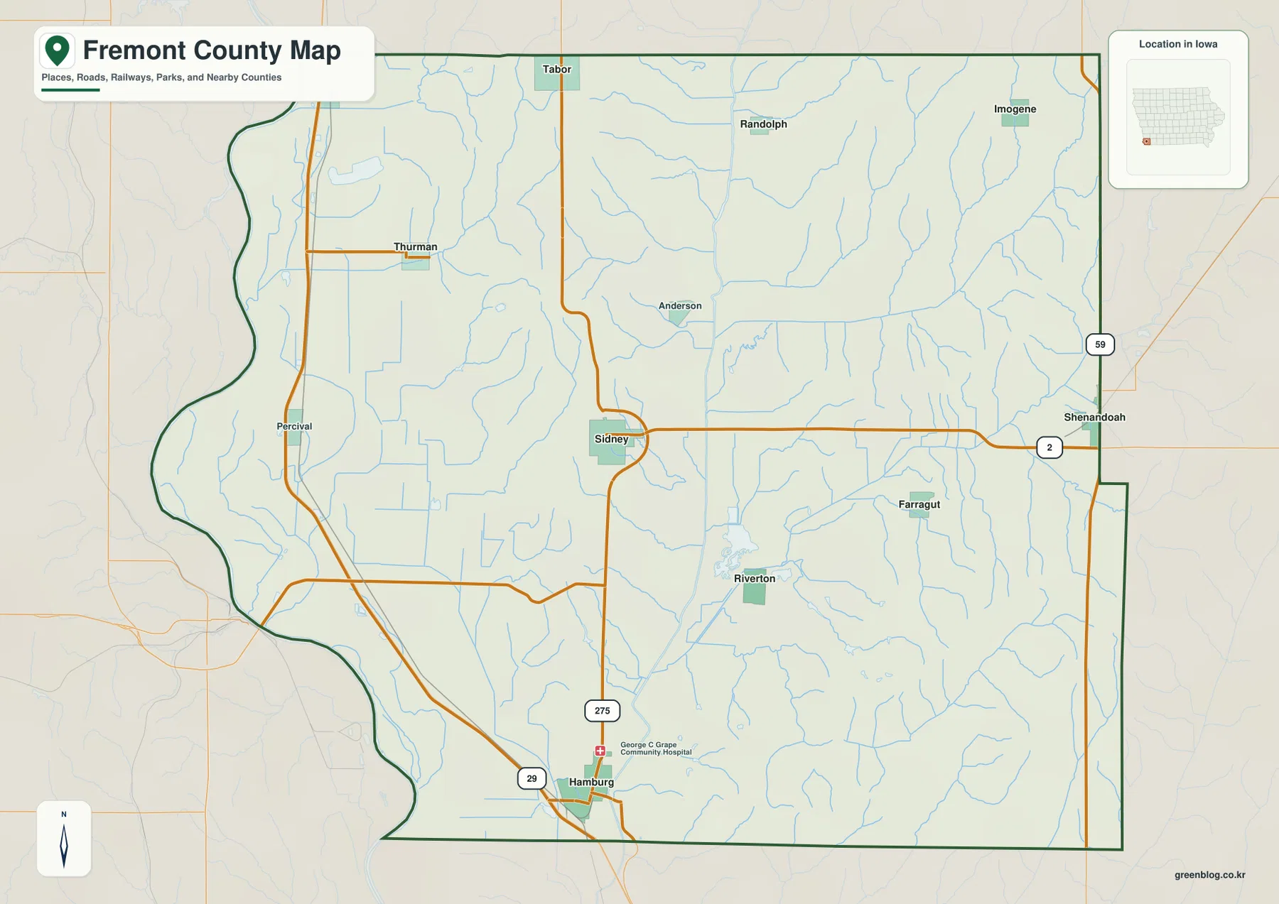
Download the high-resolution A3 JPG ZIP for Fentress County directly from this page; it includes the county, city, water, and elevation maps used below. Jamestown is the main central reference, Allardt lies to the southeast, and the road network spreads toward the north, northeast, south, and the deeply cut western side of the county. The most distinctive feature is the contrast between broad upland surfaces and the lower stream valleys carved by the East Fork Obey River, Clear Fork tributaries, and other waterways.
The Fentress County Map becomes much easier to understand when those features are read together instead of as separate layers. Jamestown and Allardt occupy the higher interior, while the west contains a dense pattern of valleys and ridges. The elevation map confirms that contrast, and the water map explains why the western outline and road pattern look more irregular than the central plateau around Jamestown.
Table of Contents
Jamestown and Allardt provide two clear settlement anchors
The city map ranks Jamestown first at 2,230 residents and Allardt second at 1,076. Jamestown sits close to the middle of the county’s main road network, while Allardt is farther southeast along the corridor that continues toward the southern part of Fentress County. These two labels are enough to establish the basic direction of the county before smaller roads and streams are added.
The base map also labels Grimsley and Clarkrange farther south. Grimsley is reached by following the southern route away from Jamestown and then looking toward the southwest, while Clarkrange is near the county’s southern end along Route 62. Together, Jamestown, Allardt, Grimsley, and Clarkrange show that Fentress County extends a considerable distance north to south rather than forming a compact cluster around one town.
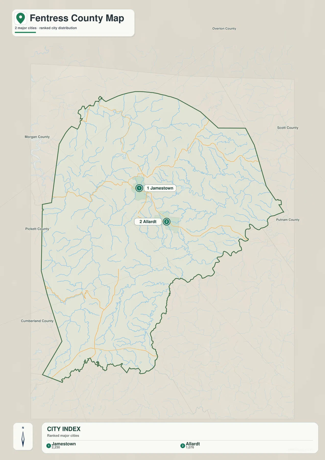
The surrounding county names give additional orientation. Overton County appears to the north, Scott County to the east, Putnam County to the southeast, and Cumberland County to the southwest. Pickett and Morgan counties lie to the west and northwest. Starting with Jamestown and one of these outer directions is often faster than trying to interpret every minor road at once.
Roads split from Jamestown across the plateau
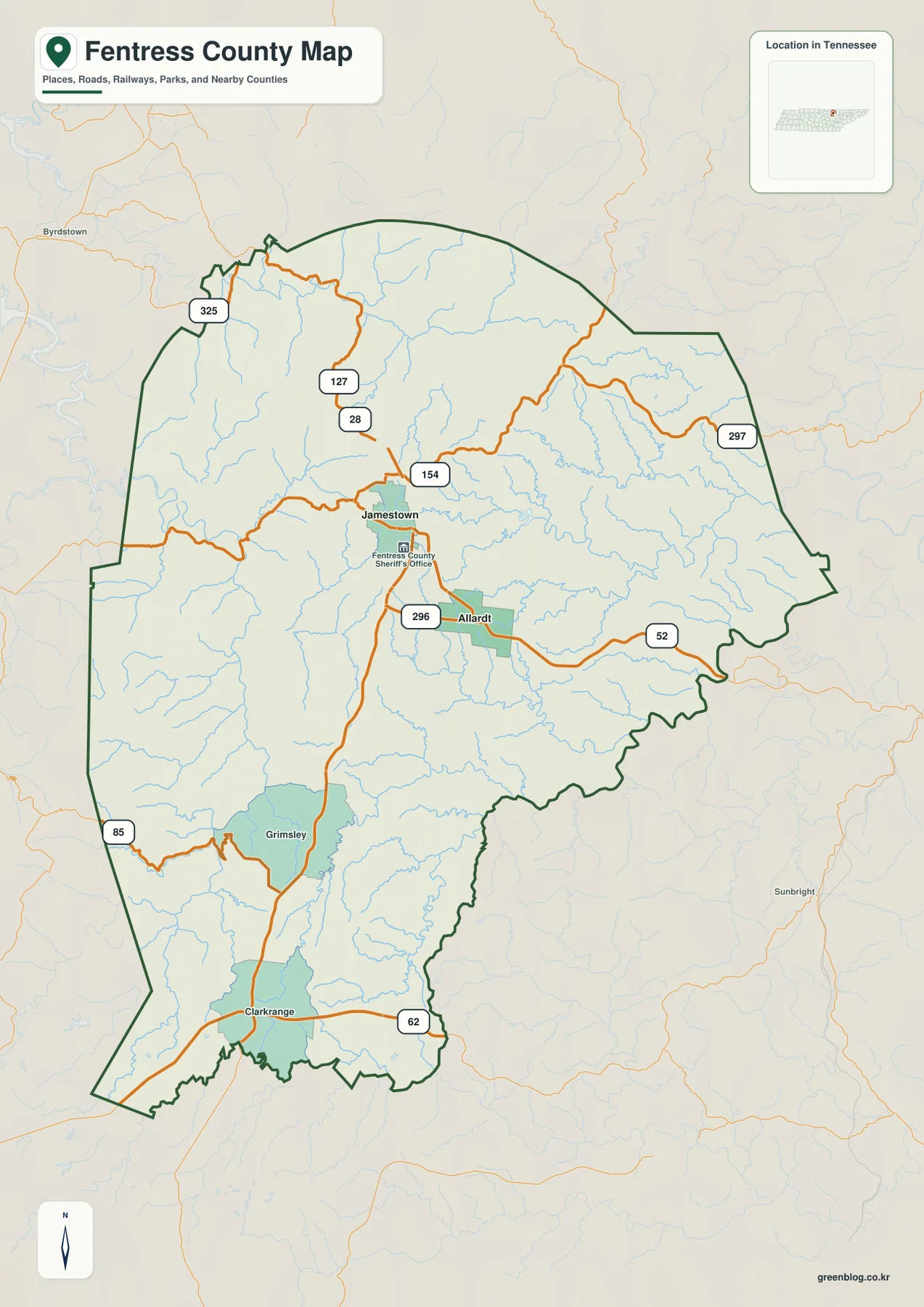
US 127 and State Route 28 form the most obvious approach into Jamestown from the north. Near Jamestown, Route 154 turns east, while Route 296 runs south toward Allardt and the lower half of the county. Route 325 appears near the northwestern edge, and Route 297 crosses the northeastern side, giving the map several distinct approaches without requiring a dense metropolitan road grid.
Around Allardt, Route 52 continues eastward. Farther south, Route 62 crosses the Clarkrange area, while Route 85 reaches the southwestern edge. The roads do not simply follow straight compass lines because streams and relief repeatedly interrupt the plateau. Comparing the county map with the elevation layer shows why a route may bend around a drainage or remain on higher ground for a long stretch.
The western side is especially different from the Jamestown area. Near the central plateau, roads can cross relatively broad upland surfaces, but westward travel encounters more closely spaced ridges and valleys. South of Jamestown, Route 296 also passes through terrain broken by tributaries before reaching the Grimsley and Clarkrange side of the county. For route notes or teaching materials, marking the town and the main road is usually more useful than copying every secondary line.
Wolf River, East Fork Obey River, and the Clear Fork drainage
The water map gives the western side of Fentress County much of its character. Wolf River is labeled in the northwest, while East Fork Obey River is prominent farther south along the western side. Their valleys correspond to some of the lower terrain on the elevation layer. Poplar Cove Creek joins the western drainage pattern, and numerous smaller tributaries cut into the surrounding ridges.
Across the middle and east, the water network becomes more finely divided. Laurel Fork, Mill Creek, and North White Oak Creek are labeled among many smaller channels. Crooked Creek bends through the central-southern part of the county, creating another recognizable low corridor inside the higher plateau surface. These streams explain why even areas that look broadly upland are not perfectly flat.
The southern half contains another strong set of references. North Prong Clear Fork Creek runs through a long valley, with Long Branch and South Prong Clear Fork Creek nearby. Slate Creek, Hurricane Creek, and Clear Creek appear farther south, while Big Piney Creek is labeled toward the west. The result is a landscape divided by repeated narrow valleys rather than a single continuous flat tableland.
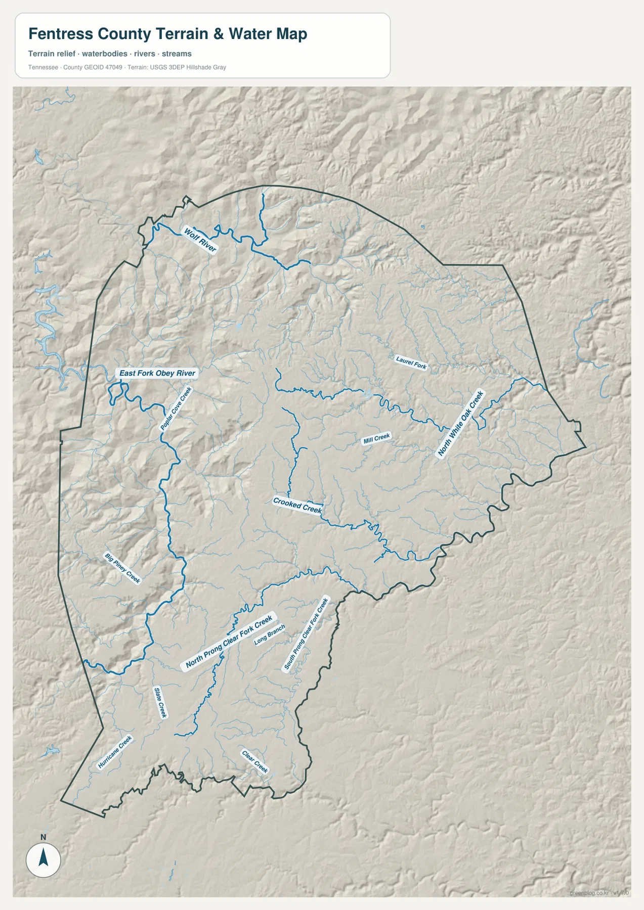
This layer is intended for geographic comparison rather than current water conditions. It does not establish a property boundary, crossing condition, or water level for a specific date. Its main value here is showing where the larger valleys and tributary systems sit in relation to Jamestown, Allardt, roads, and the surrounding high ground.
A 196–572 m range reveals the plateau-and-valley contrast
The elevation map shows an actual range of about 196 to 572 meters and a mean elevation of 455 meters. Broad tan and brown areas cover much of the central and eastern county, indicating extensive higher ground. In the west, green valleys cut deeply between ridges, creating the strongest relief contrast on the map. Jamestown sits within the higher interior rather than on the floor of one of the major western valleys.
The northwest is especially dissected around the Wolf River and East Fork Obey drainage. Green low corridors wind between narrow, higher ridges, and the terrain changes repeatedly over short distances. The north-central and eastern areas remain generally higher, although smaller streams still carve shallow valleys into the plateau surface.
The south is also varied. North Prong Clear Fork Creek and nearby tributaries create a long lower corridor, while higher brown uplands remain on both sides. Near the southern end around Clarkrange, broad high terrain becomes prominent again. Fentress County therefore does not simply slope in one direction; it alternates between uplands, ridges, and drainage valleys from north to south.
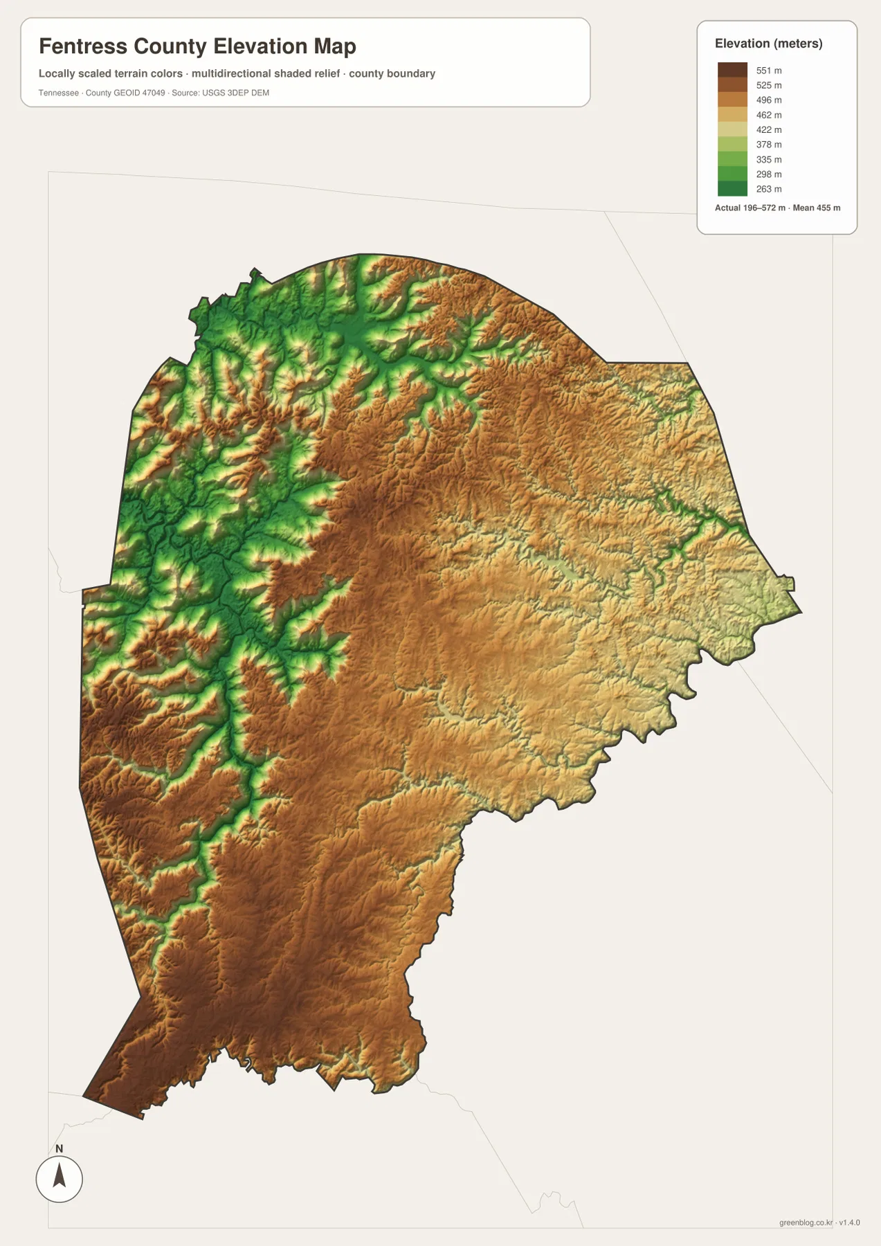
The elevation colors are best used for relative comparison across the county. They are not a substitute for a surveyed elevation at a specific address, but they clearly show why roads may favor ridges or broader upland sections and why the western drainage corridors look much more rugged than the area around Jamestown.
Connecting towns, roads, water, and relief
The city map alone presents a simple relationship between Jamestown and Allardt. Adding the water layer changes that picture by showing the major valleys west of Jamestown, the smaller streams around the eastern plateau, and the Clear Fork network in the south. The elevation map then confirms that many of those channels occupy lower corridors cut into much higher surrounding ground.
The same combination helps explain the road pattern. US 127 and Route 28 approach Jamestown from the north, Route 296 links the central area with Allardt and the south, and eastern routes remain largely on higher ground. Westward routes encounter the East Fork Obey drainage and a more broken surface. Looking at road and terrain together is more informative than treating each numbered highway as an isolated line.
For a simple county overview, Jamestown can serve as the central reference, Allardt as the southeastern reference, and Clarkrange as the southern reference. From there, add US 127, Route 296, East Fork Obey River, and the Clear Fork drainage. That small set of features describes the county’s internal structure without overwhelming the page with every place name and tributary.
Choosing and downloading the A3 JPG maps
The WebP images in the article are convenient for quick viewing, while the downloadable JPG originals are better for large display, printing, and offline reference. Start with the county map when roads and boundaries matter most. The city map is cleaner when the main question is the position of Jamestown and Allardt.
Use the water map when Wolf River, East Fork Obey River, or the Clear Fork system is the subject. The elevation map is the strongest choice for explaining why the western side is so deeply cut compared with the broad central and eastern uplands. For A3 printing, keeping road notes on the county map and drainage notes on the water map prevents labels from covering one another.
The ZIP contains the high-resolution A3 JPG originals for the county, city, water, and elevation maps shown on this page. They are suitable for classroom comparison, presentation backgrounds, route notes, regional study, or personal offline storage when the web preview is not large enough.
Frequently Asked Questions
Where are Jamestown and Allardt on the map?
Jamestown is the main central city and sits near US 127, Route 28, and several state routes. Allardt is southeast of Jamestown near Routes 296 and 52. Grimsley and Clarkrange provide additional references farther south.
What is the main terrain feature shown by the elevation map?
The map shows roughly 196–572 meters of elevation. High plateau surfaces cover much of the central and eastern county, while lower valleys associated with Wolf River, East Fork Obey River, and the Clear Fork drainage cut deeply into the western and southern terrain.
Sources and reference data
County boundaries and general location can be compared with U.S. Census Bureau TIGER/Line. County history and local reference information are available from the Tennessee State Library and Archives Fentress County fact sheet, while regional natural-resource information is available from the National Park Service regional reference.
For more detailed hydrography, see USGS National Hydrography. Elevation data can be checked against the USGS 3D Elevation Program. The geographic descriptions on this page are based on the towns, roads, drainage features, and elevation patterns visible in the supplied Fentress County maps.
Map File Information
Download the high-resolution A3 JPG originals for the Fentress County county, city, water, and elevation maps shown in this article.
- Included Files: County map, city map, water map, elevation map
- File Type: ZIP containing 4 JPG files
Related Maps
Green Map creates custom-edited map images using open geographic data sources such as geoBoundaries, Natural Earth, OpenStreetMap, and government open data. These maps are edited visual materials, not raw data files, and are provided for education, documents, presentations, and graphic reference.