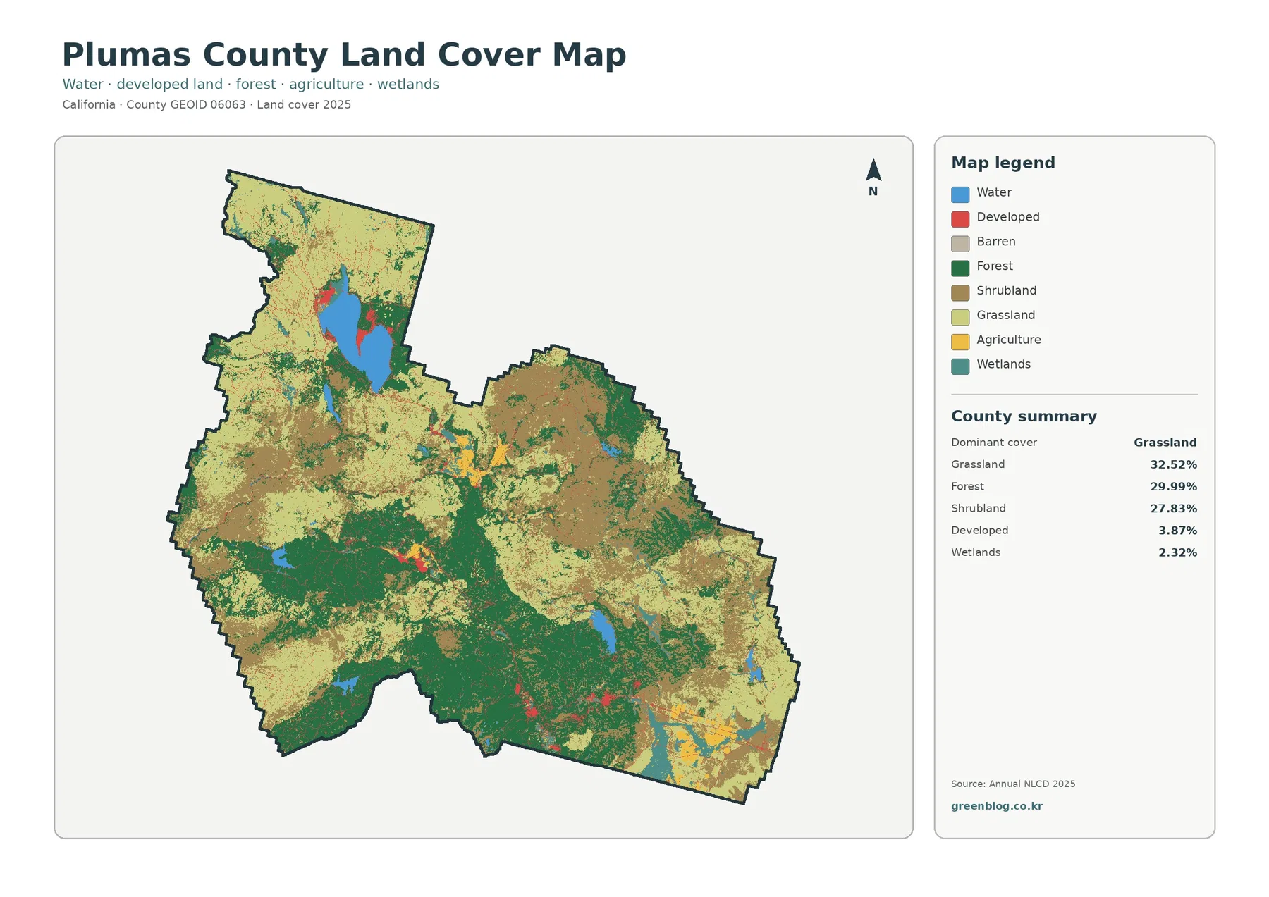
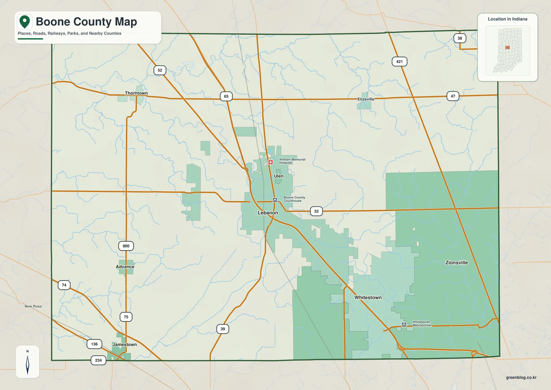
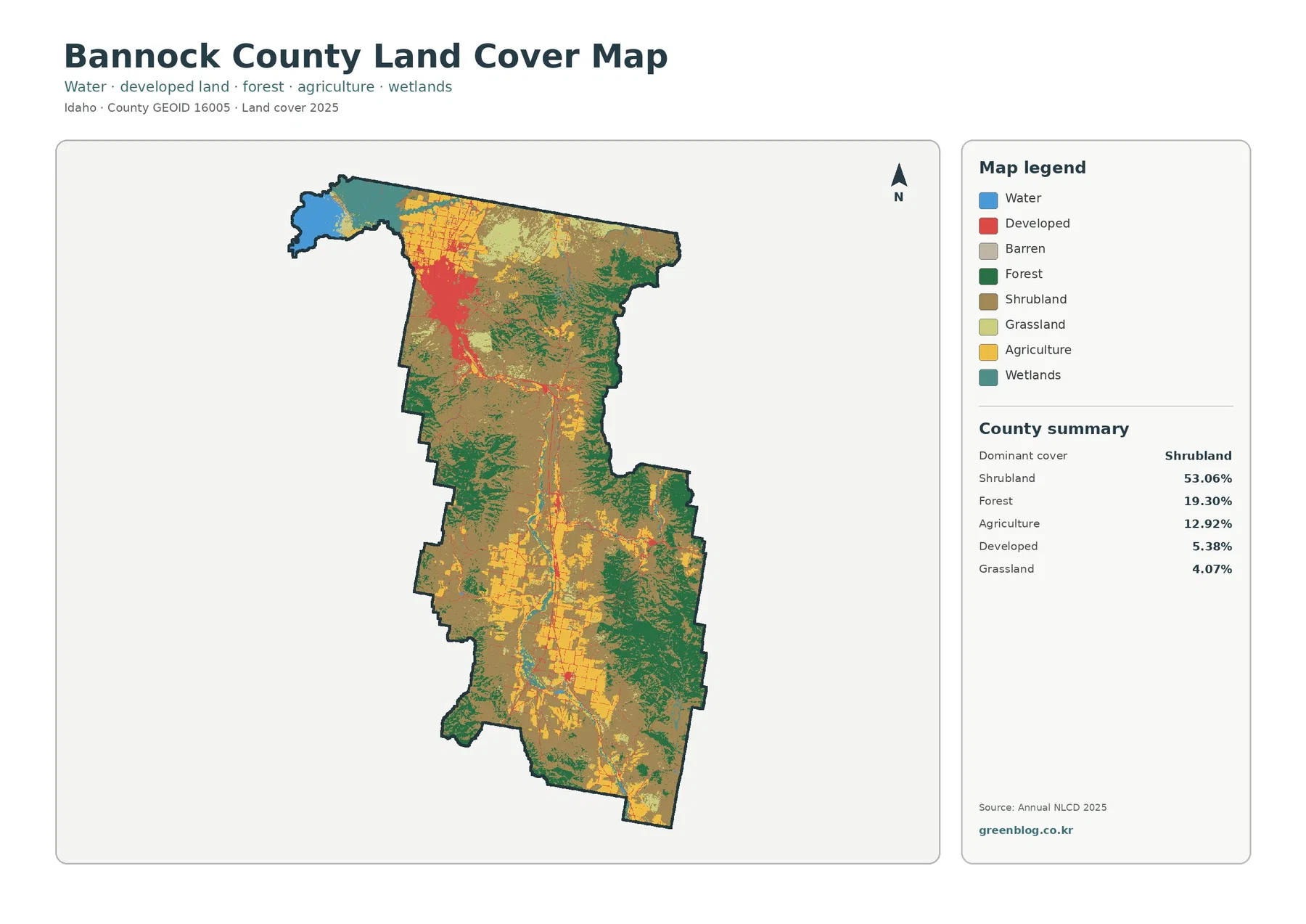
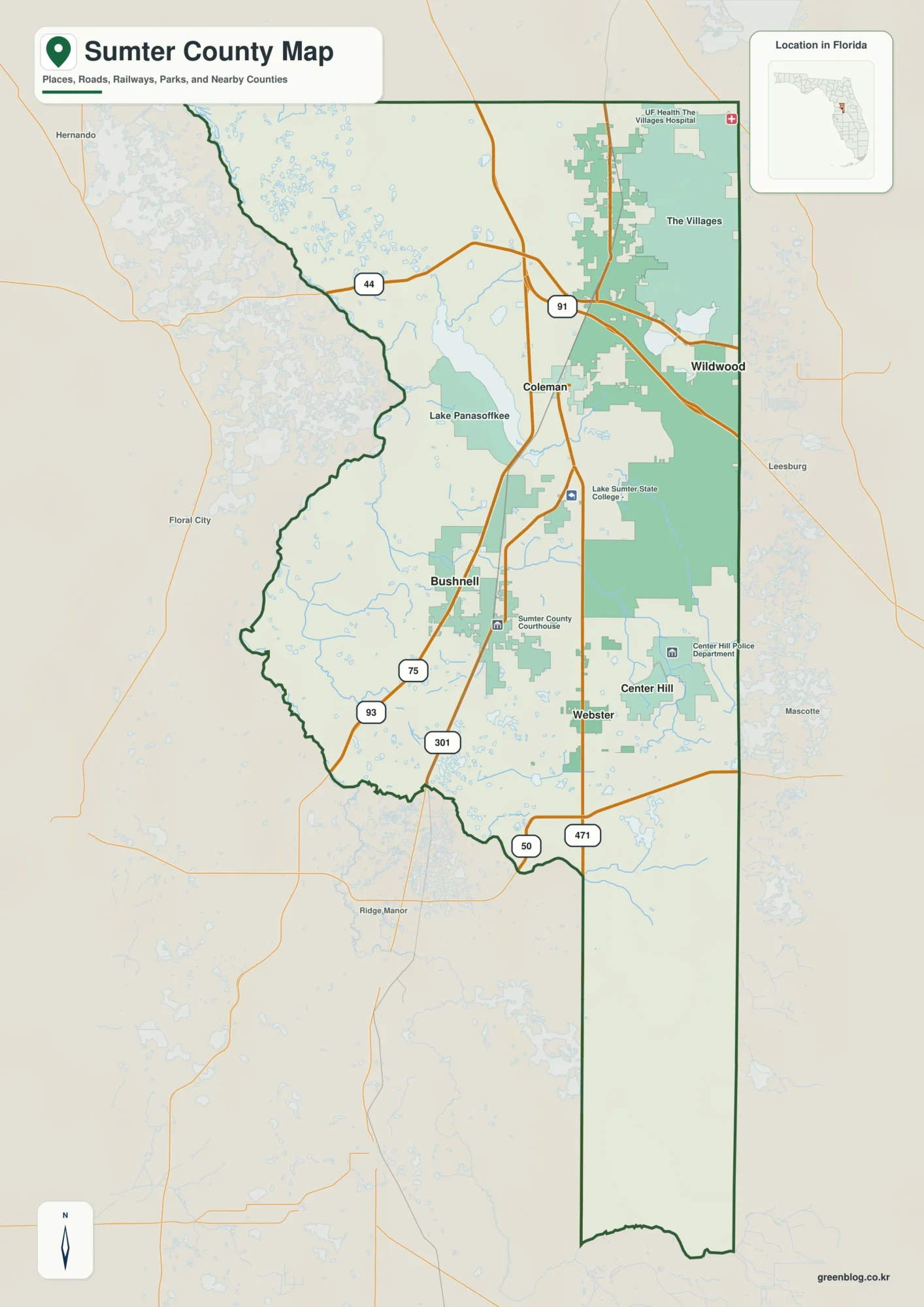
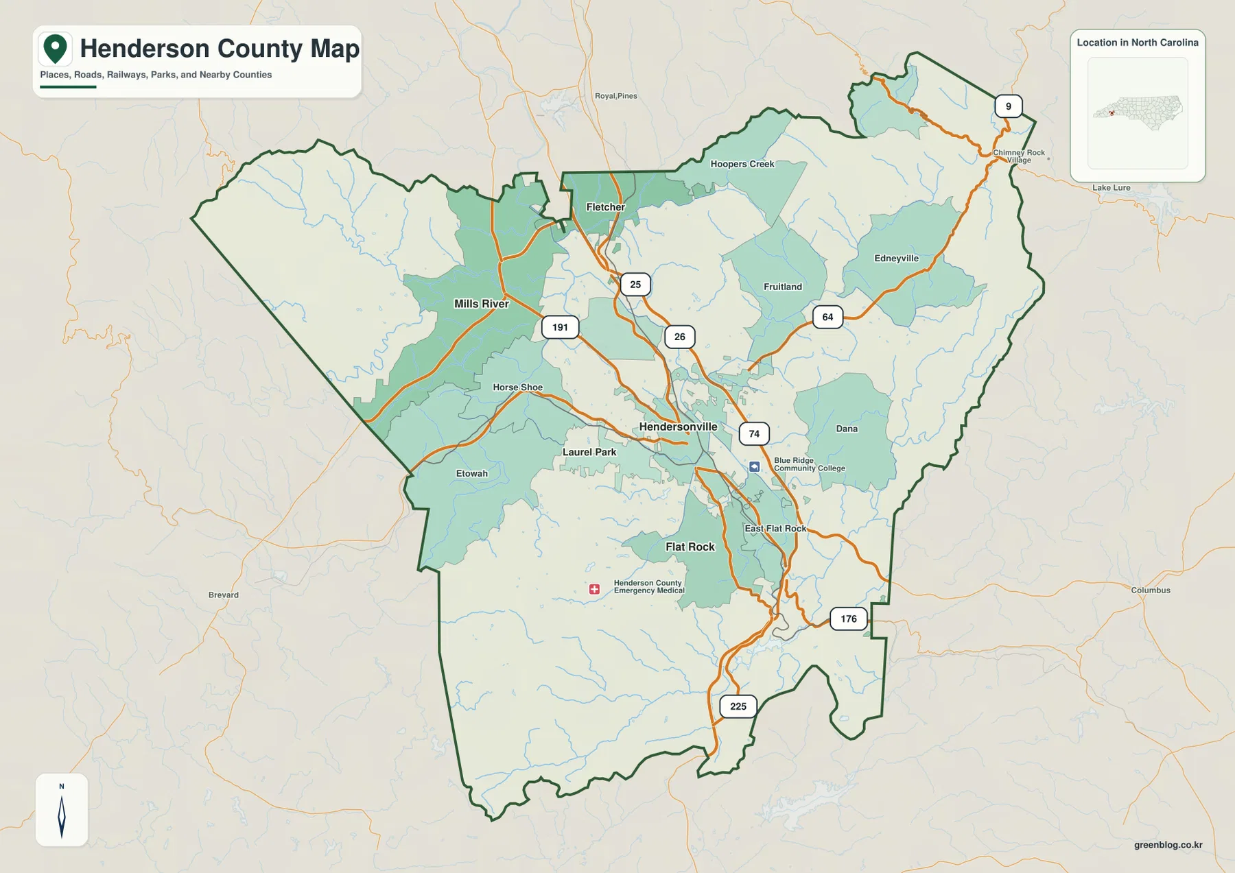
Henderson County sits in a rugged part of western North Carolina where a relatively open central corridor around Hendersonville is surrounded by steeper ridges, narrow valleys, and branching streams. The maps on this page show the county boundary, communities such as Hendersonville, Fletcher, Mills River, Flat Rock, and Laurel Park, the main road network, and a separate terrain-and-water view with the French Broad River, Mills River, Green River, and other named waterways. The same three maps are also available below as high-resolution JPG files in one downloadable ZIP archive.
The county is easiest to understand when its places are not treated as points on a single north-south line. Hendersonville occupies the central hub, Fletcher reaches toward the narrow northern end, Mills River lies to the northwest in a broad valley, Flat Rock sits south of the county seat, and the eastern side opens toward Edneyville, Fruitland, Dana, and Chimney Rock Village through more broken mountain terrain. Reading the settlement map together with the water-and-terrain map explains why roads, towns, and streams follow different corridors across the county.
Table of Contents
Hendersonville forms the road hub, but the county opens in several directions
The county reference map places Hendersonville near the center of the main road network. I-26 runs north toward Fletcher and south past the Hendersonville area, while US 64 crosses the county from the Hendersonville area toward Edneyville and Fruitland. US 25 and US 176 also pass through the central portion, NC 191 reaches northwest toward Mills River, and NC 225 continues south toward the county boundary. These routes give Hendersonville a clear organizing role, but the map also shows that the surrounding communities are spread among different mountain valleys rather than arranged around a simple circular suburban ring.
That difference becomes obvious when the outer places are compared. Fletcher is close to the northern edge and the Buncombe County side of the map, so its strongest visible connection is the I-26 corridor. Mills River is farther west in a valley framed by higher ground and connected to Hendersonville by NC 191 and local roads. Edneyville and Fruitland sit east of the central hub along the US 64 direction, where the road network passes through more dissected terrain. Flat Rock and East Flat Rock remain close to Hendersonville but also mark the transition toward the steeper southern part of the county.
Five highlighted communities show a multi-directional settlement pattern
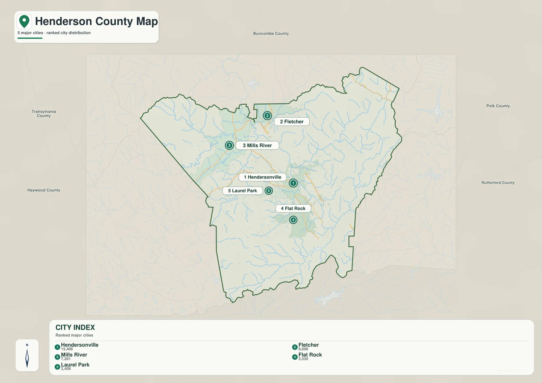
The city-distribution map highlights Hendersonville, Fletcher, Mills River, Flat Rock, and Laurel Park. Hendersonville is the central reference point, but each of the other four places pulls the map in a different direction. Fletcher occupies the north, Mills River the northwest, Flat Rock the south, and Laurel Park sits immediately west of Hendersonville. This arrangement is useful because it shows that the county’s important places are distributed among several valleys and plateaus rather than concentrated along one continuous urban strip.
Fletcher and Mills River provide the clearest contrast. Both are north of Hendersonville, yet Fletcher is positioned near the narrow northern neck of the county and the I-26 corridor, while Mills River lies farther west in a valley surrounded by stronger relief. Laurel Park is much closer to Hendersonville and reads almost as an extension of the central settlement area. Flat Rock sits south of the county seat, where the central developed corridor begins to meet the higher and more dissected terrain of the southern county.
This map is a location-and-distribution reference rather than a driving-distance chart. It is most useful for seeing which community lies north, west, or south of Hendersonville and how the named places sit relative to Buncombe, Transylvania, Haywood, Polk, and Rutherford counties. For turn-by-turn travel or time estimates, a current navigation map is the better tool; for county-scale orientation, the simplified distribution view makes the regional pattern much easier to see.
French Broad and Mills River define the western valley system
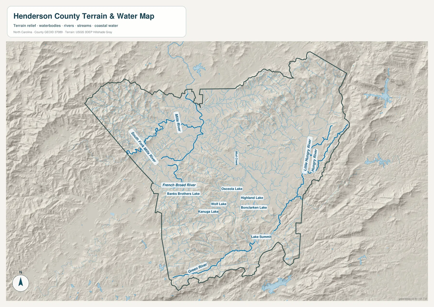
The terrain-and-water map changes the way the county reads. In the western half, Mills River and South Fork Mills River gather water from steep headwater valleys and connect toward the French Broad River. The French Broad provides a strong physical reference through the west-central part of the county, separating the broad valley floor from the surrounding ridges. When Mills River, Horse Shoe, and the western side of Hendersonville are viewed against this drainage pattern, their relationship is clearer than it is on a road-only map.
Water on the eastern side follows a different pattern. Hungry River and Little Hungry River run along the eastern portion of the county, while Green River crosses the southern edge. Mud Creek is labeled through the central area, and several smaller lakes appear around Hendersonville and the southern valleys, including Kanuga Lake, Wolf Lake, Osceola Lake, Highland Lake, Bonclarken Lake, Banks Brothers Lake, and Lake Summit. The number of separate streams and small water bodies reflects the deeply cut mountain terrain rather than a single dominant lake system.
Relief shading adds another layer. The land around Hendersonville and the central valley appears smoother, while the western, eastern, and southern margins show much tighter ridges and drainage cuts. That contrast helps explain why the largest roads and settlements occupy the lower corridors. This map is a general terrain and water reference, not a flood-risk, parcel, depth, or navigation product. Anyone making a property, engineering, or safety decision should use the appropriate official hazard, survey, or site-specific data.
The western valley and eastern ridges create different map patterns
Calling Henderson County simply a mountain county hides an important internal difference. The western side around Mills River, Horse Shoe, and Etowah follows a recognizable valley system tied to the French Broad and Mills River drainage. Roads use that lower terrain, and the communities line up along the same broad openings. The central Hendersonville–Laurel Park area is the most concentrated settlement zone, while Fletcher forms a northern connection toward the Asheville side of the region. These three areas already show a valley, a central hub, and a northern gateway within one county.
East of Hendersonville, the map becomes more finely broken. Edneyville, Fruitland, Dana, and the road toward Chimney Rock Village sit among narrower ridges and many small streams. US 64 provides the principal eastward connection, but the terrain indicates why a short straight-line separation on the county map can translate into a more winding trip on the ground. South of Flat Rock, US 225 and US 176 continue into another rugged section associated with the Green River system. Looking at these areas together makes it clear that distance alone does not describe movement across Henderson County.
Choose the map by the question you are trying to answer
For a first look at the county, the general county map is the best starting point. It combines the boundary, Hendersonville, Fletcher, Mills River, Flat Rock, smaller place labels, and the principal road network. It is useful when the question is simply where a community lies or which major route connects one side of the county to another. The city-distribution map removes much of that detail and makes the five highlighted communities easier to compare as a group.
The terrain-and-water map is the stronger choice when the question involves valleys, rivers, ridges, or the physical reasons behind the settlement pattern. It shows why Mills River belongs to a western valley system, how the French Broad relates to nearby tributaries, and how the eastern Hungry River network differs from the Green River drainage in the south. Switching among the three maps is especially useful when you want to connect a place name with the road that reaches it and the terrain that shapes that route.
Frequently Asked Questions
Why is the French Broad River a useful reference when reading Henderson County?
The French Broad runs through the west-central valley system and connects naturally with the Mills River drainage. Using it as a reference makes it easier to relate Mills River, Horse Shoe, and the western side of the Hendersonville area to the lower terrain between surrounding ridges. It should not be treated as a flood or depth map, however; those questions require separate official data.
Why do Fletcher and Mills River look different even though both are north of Hendersonville?
Fletcher sits near the narrow northern end of the county and the I-26 corridor, so its strongest map relationship is the north-south connection toward Buncombe County. Mills River is farther west in a broader mountain valley tied to NC 191 and the Mills River water system. Their positions may look similar at a quick glance, but the surrounding roads, drainage, and relief give them very different geographic settings.
Map File Information
Download the three original high-resolution JPG maps used for this Henderson County page in one ZIP archive.
- Included Files: 3 high-resolution A3 JPG maps described on this page
- File Type: JPG files in a ZIP archive
- Intended Use: Printing, education, presentations, and map-based projects
Related Maps
Sources and References
- Henderson County – Westfeldt River Park
- U.S. Census Bureau TIGER/Line Shapefiles
- USGS National Hydrography
- USGS 3D Elevation Program
Green Map creates custom-edited map images using open geographic data sources such as geoBoundaries, Natural Earth, OpenStreetMap, and government open data.
These maps are edited visual materials, not raw data files, and are provided for education, documents, presentations, and graphic reference.