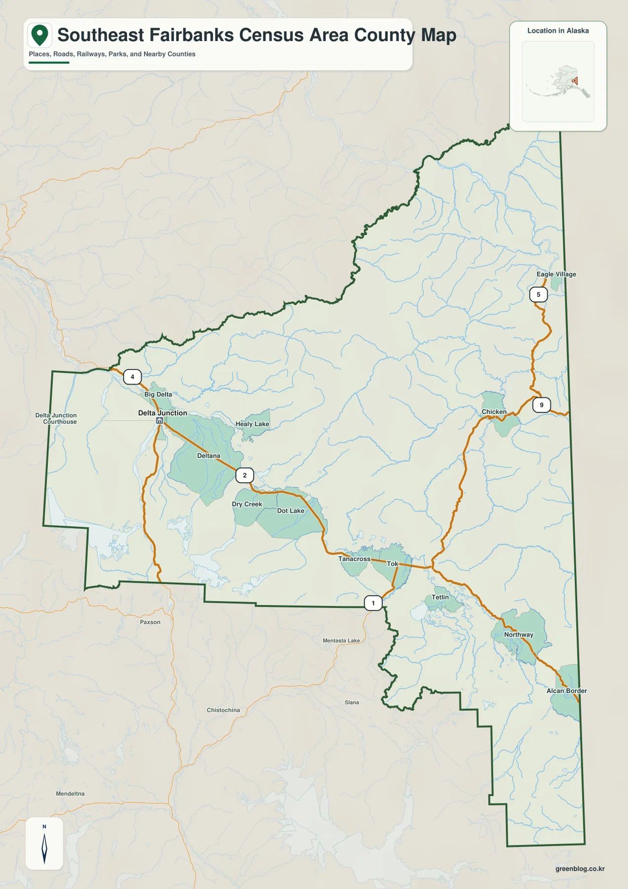
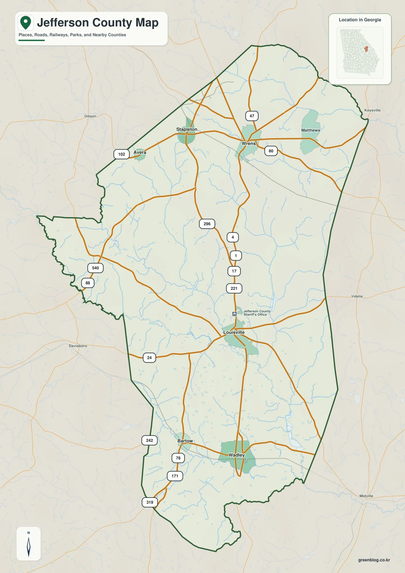
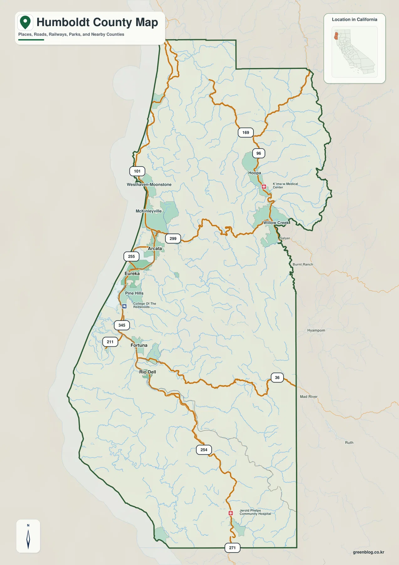
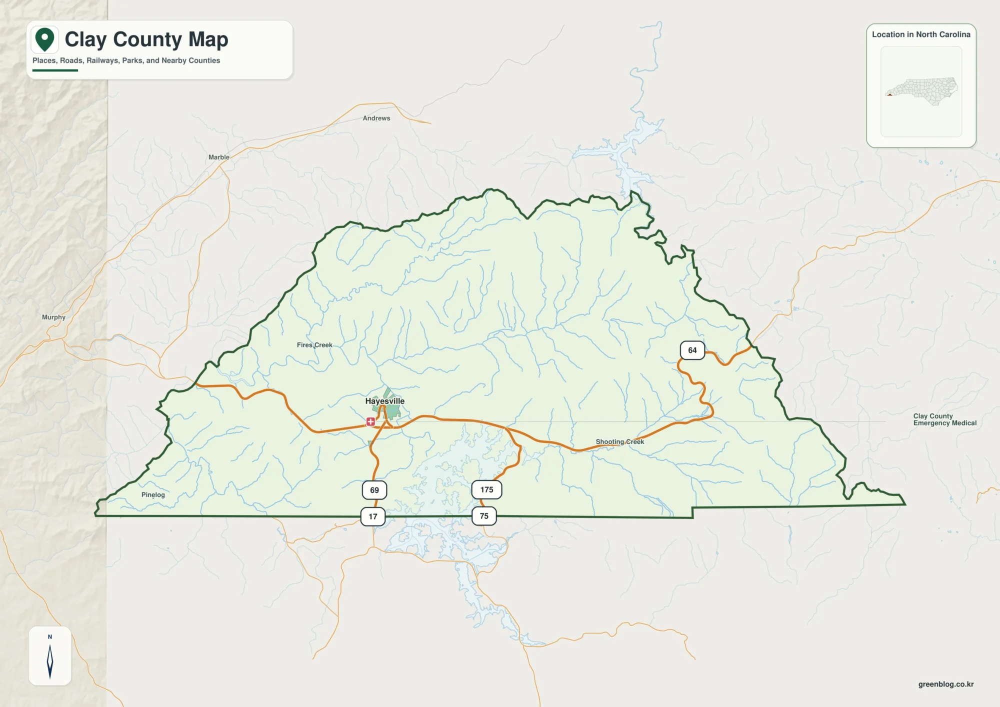
Dimmit County in South Texas is easiest to understand by starting at Carrizo Springs and then following the roads and waterways toward Big Wells, Asherton, and Catarina. The county is not a single flat, evenly settled space: the supplied maps show a road center around Carrizo Springs, a broad network of creeks and the Nueces River, and a clear drop in elevation from the western side toward the east. This Dimmit County Map page brings those views together, and the matching high-resolution A3 JPG files can be downloaded as one ZIP from the map file box below.
Table of Contents
Carrizo Springs as the road and settlement reference point
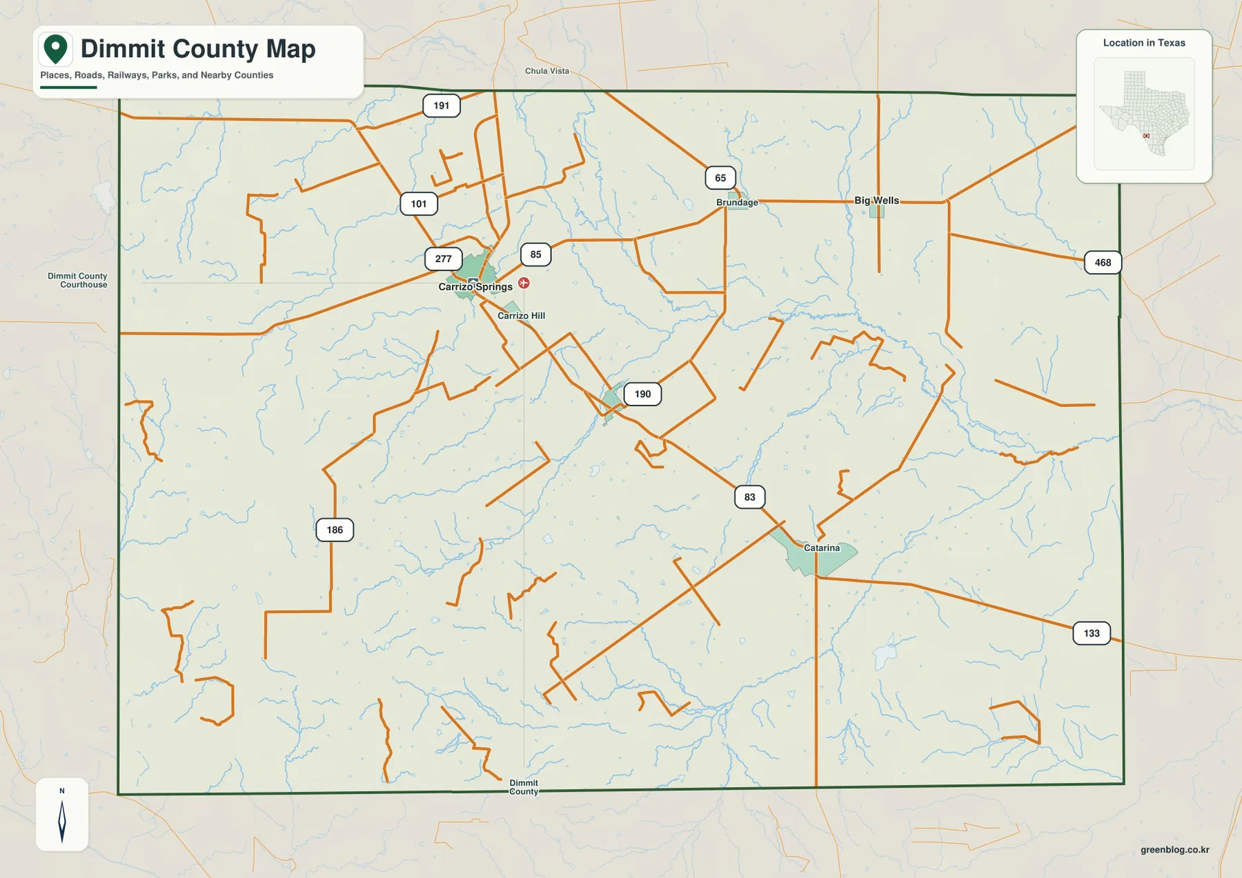
Carrizo Springs is the strongest reference point on the county map. Route numbers 277 and 85 appear around the city, while the road marked 83 runs southeast toward Catarina. Big Wells and Brundage are shown to the northeast and east, and smaller labels such as Carrizo Hill sit close to the county seat. The pattern makes it clear that the county’s named places are not evenly spaced: the main road cluster lies in the west-central part of the county, with several communities extending eastward and southeastward from it.
The route numbers become more useful when they are followed from place to place rather than treated as a list. The road marked 85 heads east from Carrizo Springs toward the Big Wells area, while 83 continues through the southeastern half of the county near Catarina. Other routes labeled 190, 186, 65, and 468 fill in additional local connections. These lines help explain how the county is traversed, but the map is a location reference rather than a navigation product; it does not show current travel times, closures, pavement conditions, or turn-by-turn directions.
Big Wells and Asherton in relation to Carrizo Springs
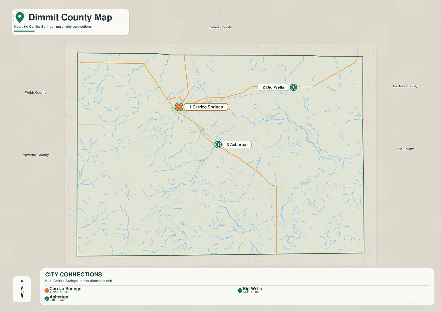
The city-connections map simplifies the county to three labeled centers: Carrizo Springs, Big Wells, and Asherton. Big Wells lies to the northeast of the hub, while Asherton lies to the southeast. The map’s connection panel gives about 18 miles from Carrizo Springs to Big Wells and about 8 miles to Asherton. Those figures are straight-line distances between the mapped points, not driving distances, so an actual road trip will depend on the route chosen.
That simple comparison is useful because the three communities occupy different directions from the county seat. Carrizo Springs sits where several roads come together, Big Wells extends the settlement pattern toward the northeast, and Asherton marks the southeastern branch. Large areas between the labeled places contain open rural land and many small drainage lines. For that reason, this map is best used to understand orientation and relative spacing rather than to compare city limits or the size of built-up areas.
The county map adds Catarina, Brundage, and smaller road labels that are intentionally omitted from the city-connections view. Looking at both maps prevents an overly simple reading of the county: the city map gives a quick hub-and-direction picture, while the general county map restores the smaller places and the denser local road network. Labels outside the county frame are secondary context, so the interpretation here is based on the communities and connections drawn inside Dimmit County.
Nueces River, Carrizo Creek, and a dense network of smaller waters
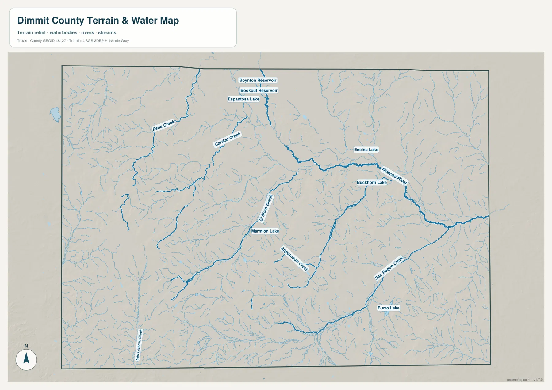
Water is one of the most distinctive features of the supplied reference maps. The Nueces River is the largest named channel, crossing the eastern half of Dimmit County in a broad, curving path. Carrizo Creek approaches from the central and north-central part of the county, while Pena Creek is prominent farther west. El Moro Creek and Appurceon Creek appear in the south-central area, and San Roque Creek is labeled in the southeast. Together they show that the county contains many drainage lines even though it does not contain a single large lake dominating the landscape.
Several smaller water bodies are labeled as well. Espantosa Lake, Encina Lake, Buckhorn Lake, Marmion Lake, and Burro Lake appear alongside Boynton Reservoir and Bookout Reservoir. The map is most useful for comparing where these named features sit relative to the river and creek system; it should not be read as a statement that every water body has the same size or year-round condition. Seasonal water levels and reservoir operations can change, and this reference does not provide flood risk, legal water boundaries, or navigation guidance.
The water map becomes more informative when paired with the city and road views. Carrizo Creek lies near the central road network, while the Nueces River bends through the lower eastern side of the county. Smaller creeks branch through areas with fewer labeled communities. This does not mean water alone determined settlement, but it gives a concrete physical background for the roads and towns shown on the other maps.
A pronounced elevation drop from west to east
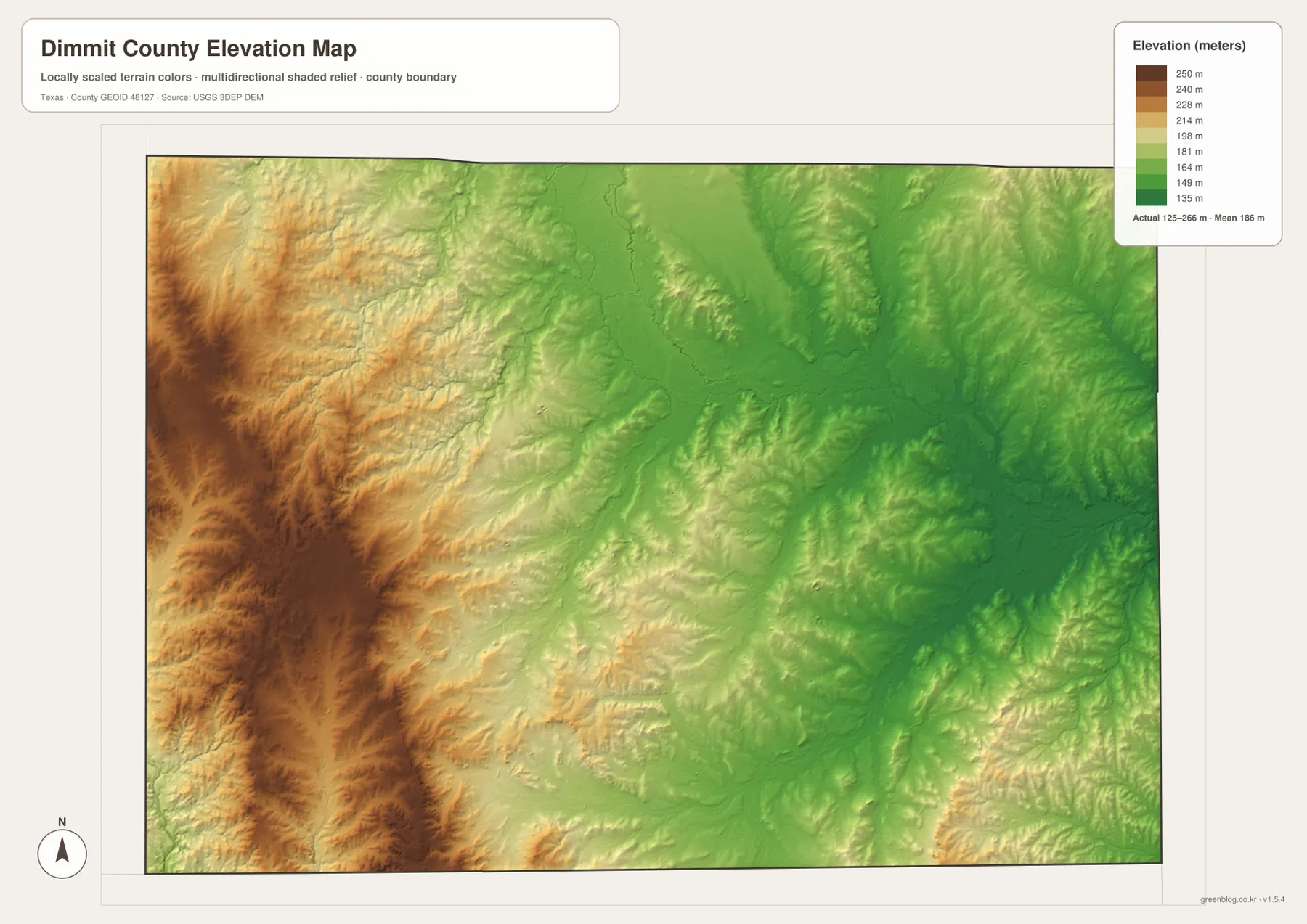
The elevation map shows the county’s strongest terrain contrast. Its legend gives an actual range of roughly 125 to 266 meters, with a mean near 186 meters. Browns and tans dominate the western edge, especially the west and southwest, while greens become more common through the center and across the eastern side. The western terrain also contains more visibly incised ridges and shallow valleys, whereas much of the east sits on a lower, broader surface.
This west-to-east change helps explain why the water map and elevation map work so well together. The Nueces River corridor lies in the lower eastern part of the mapped surface, and many smaller channels descend away from higher ground before joining larger drainage lines. The contrast is gradual rather than a single mountain wall: Dimmit County moves from higher broken ground in the west into lower country toward the east, with smaller rises and depressions interrupting the general trend.
The elevation surface is generalized for county-wide viewing. It is appropriate for seeing the direction of relief and comparing broad areas, but it is not survey-grade elevation for engineering, construction, drainage design, or parcel-level decisions. For those tasks, a reader would need detailed site measurements and current technical data. Here, the value of the map is visual: it shows why the same county can contain both higher dissected western ground and lower terrain associated with the eastern river system.
What the four maps reveal when viewed together
Each map answers a different part of the same geographic question. The county map places Carrizo Springs, Big Wells, Catarina, Brundage, and the numbered roads inside the boundary. The city view reduces that information to the Carrizo Springs hub and the direction of Big Wells and Asherton. The water map then adds the Nueces River, Carrizo Creek, Pena Creek, and the smaller named lakes and reservoirs, while the elevation map shows that much of the river side of the county is lower than the western edge.
Taken together, the maps show a county with a distinct west-central road center, dispersed smaller communities, many drainage lines, and a broad elevation gradient. A reader can move from human geography to physical geography without changing counties: first locate a town and road, then find the nearest creek or river, and finally check whether the surrounding terrain is part of the higher western zone or the lower eastern zone. That sequence is more informative than trying to force every detail into one crowded map.
For classroom use or a printed reference, the general county map is the best starting page because it carries the most names and road labels. The city-connections map is useful for explaining orientation from Carrizo Springs, especially the northeast direction to Big Wells and southeast direction to Asherton. The water and elevation maps are better for lessons or projects focused on physical geography. Since all four files cover the same county, they can also be placed side by side for quick comparison.
Frequently Asked Questions
Where should I start when reading the Dimmit County Map?
Start with Carrizo Springs because it is the county seat and the main road reference on the supplied maps. From there, look northeast toward Big Wells and southeast toward Asherton and Catarina, then compare those directions with the water and elevation maps.
Is the Nueces River on the eastern or western side of the county?
On the supplied water map, the Nueces River is most prominent across the central-eastern and eastern part of Dimmit County. Carrizo Creek and several smaller channels feed into the wider drainage network, and the elevation map shows much of this river-side terrain at lower elevations than the western edge.
Are the 8-mile and 18-mile city distances driving distances?
No. The city-connections map labels Asherton at about 8 miles and Big Wells at about 18 miles from Carrizo Springs using direct straight-line distances. Road mileage can be longer because travel follows the available road network.
Map File Information
The download ZIP contains four high-resolution A3 JPG files for Dimmit County: the county map, city map, water map, and elevation map.
- File Type: JPG
Related Maps
- Webb County Texas map
- Zavala County Texas map
- Atascosa County Texas map
- Uvalde County Texas map
- Bandera County Texas map
Sources and map references
County boundary and road context can be checked with the U.S. Census Bureau TIGER/Line Shapefiles, which is also listed in the supplied reference catalog.
Named streams and water features can be cross-referenced with USGS National Hydrography.
For elevation-source background, see the USGS 3D Elevation Program and USGS The National Map Viewer.
Green Map creates custom-edited map images using open geographic data sources such as geoBoundaries, Natural Earth, OpenStreetMap, and government open data.
These maps are edited visual materials, not raw data files, and are provided for education, documents, presentations, and graphic reference.