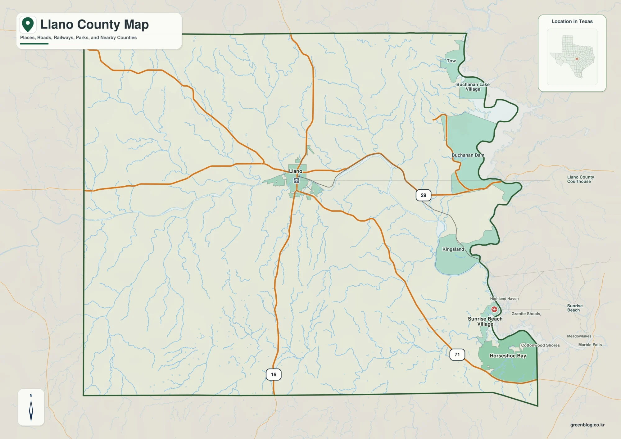
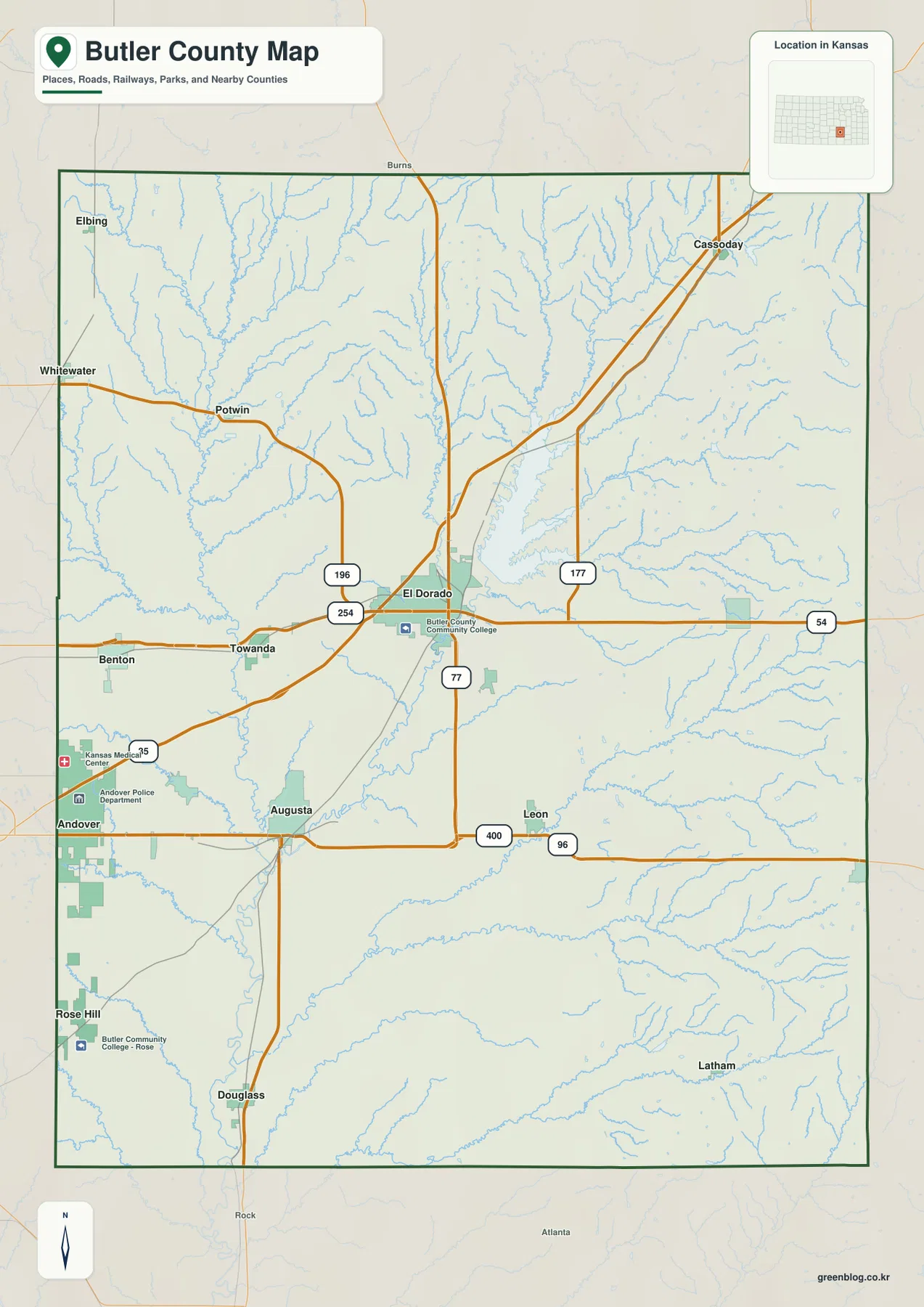
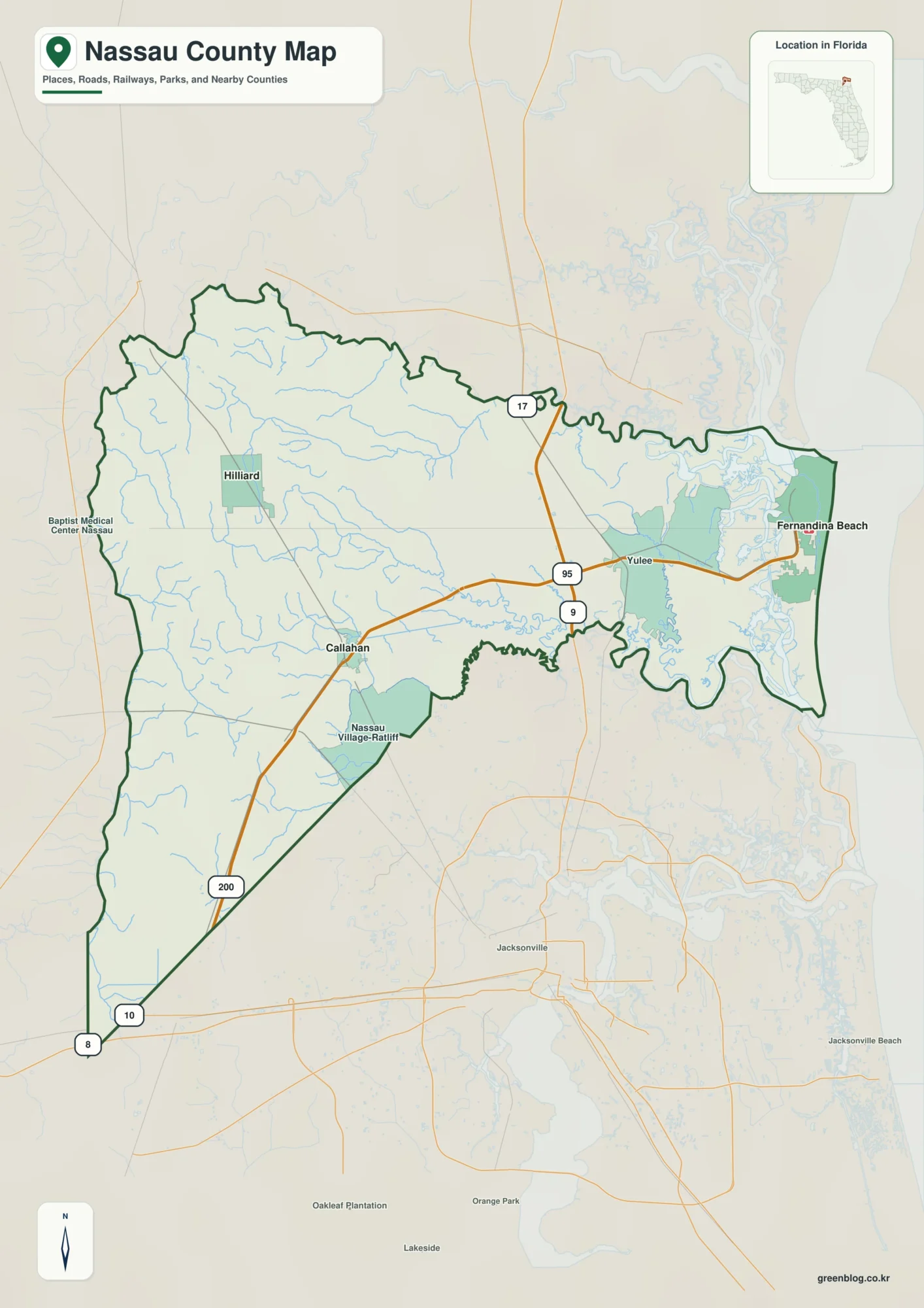
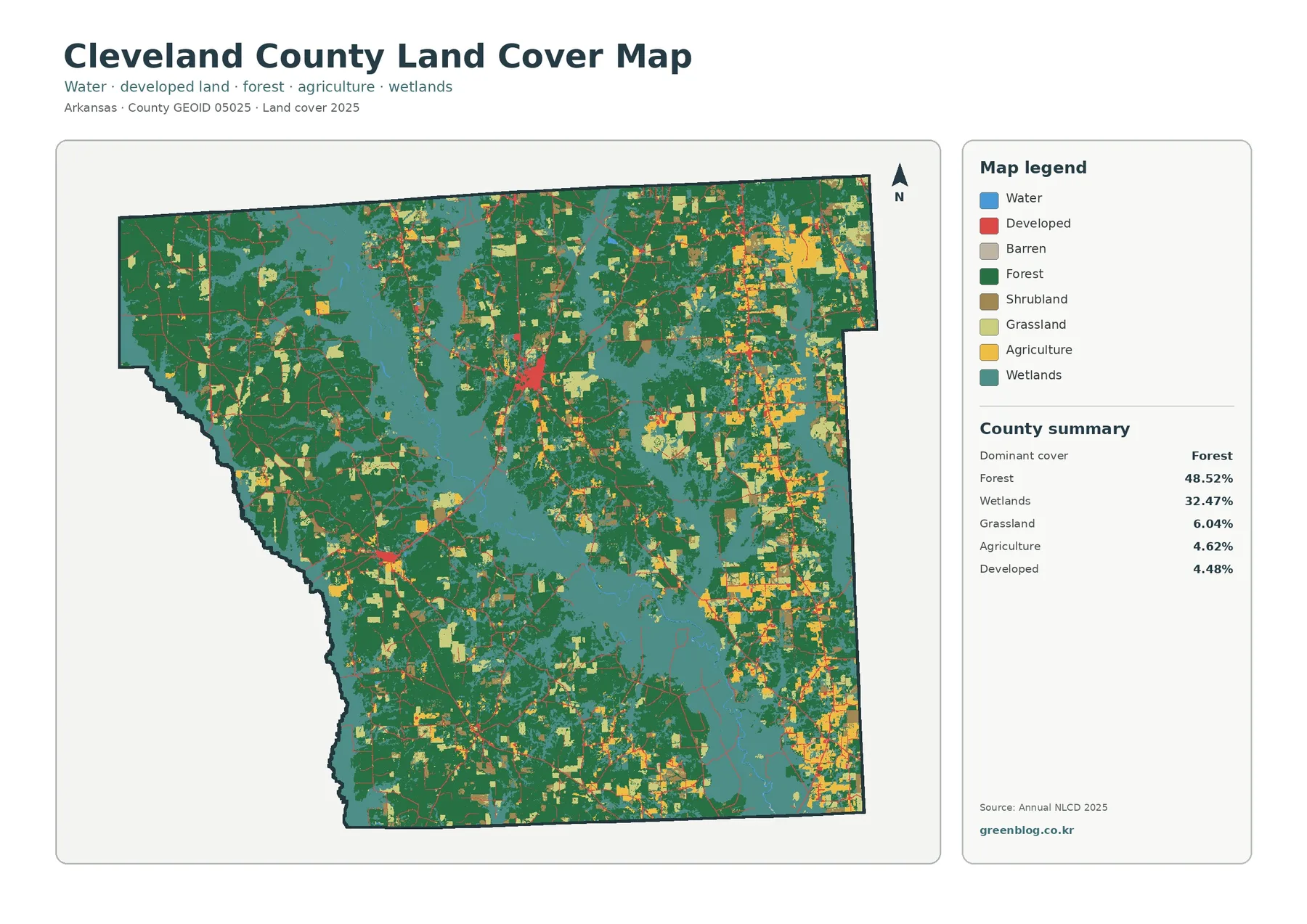
Download the Limestone County Alabama Map files as a ZIP containing four high-resolution A3 JPG maps: a county map, a city map, a water map, and an elevation map. The set is designed to make it easy to move from roads and town locations to the Tennessee River system and the county’s changing terrain.
Limestone County occupies the northern edge of Alabama’s Tennessee Valley. Tennessee is directly to the north, the Tennessee River and Wheeler Reservoir define much of the south, and Athens sits near the middle of the county’s road network. I-65 runs north-south just east of Athens while U.S. 72 crosses the county east-west, linking the county seat with the Huntsville–Madison side of the region and the Florence direction farther west.
Table of Contents
Athens and the I-65–U.S. 72 crossroads
The county map works best as an orientation sheet. Athens provides the central reference, with Lester, Elkmont, and Ardmore across the northern half and Madison, Huntsville, and Decatur appearing along the eastern and southern edges of the wider travel area. The shape of the county is also informative: the northern boundary meets Tennessee, while the southern edge bends along the Tennessee River and reservoir landscape instead of following one simple straight line.
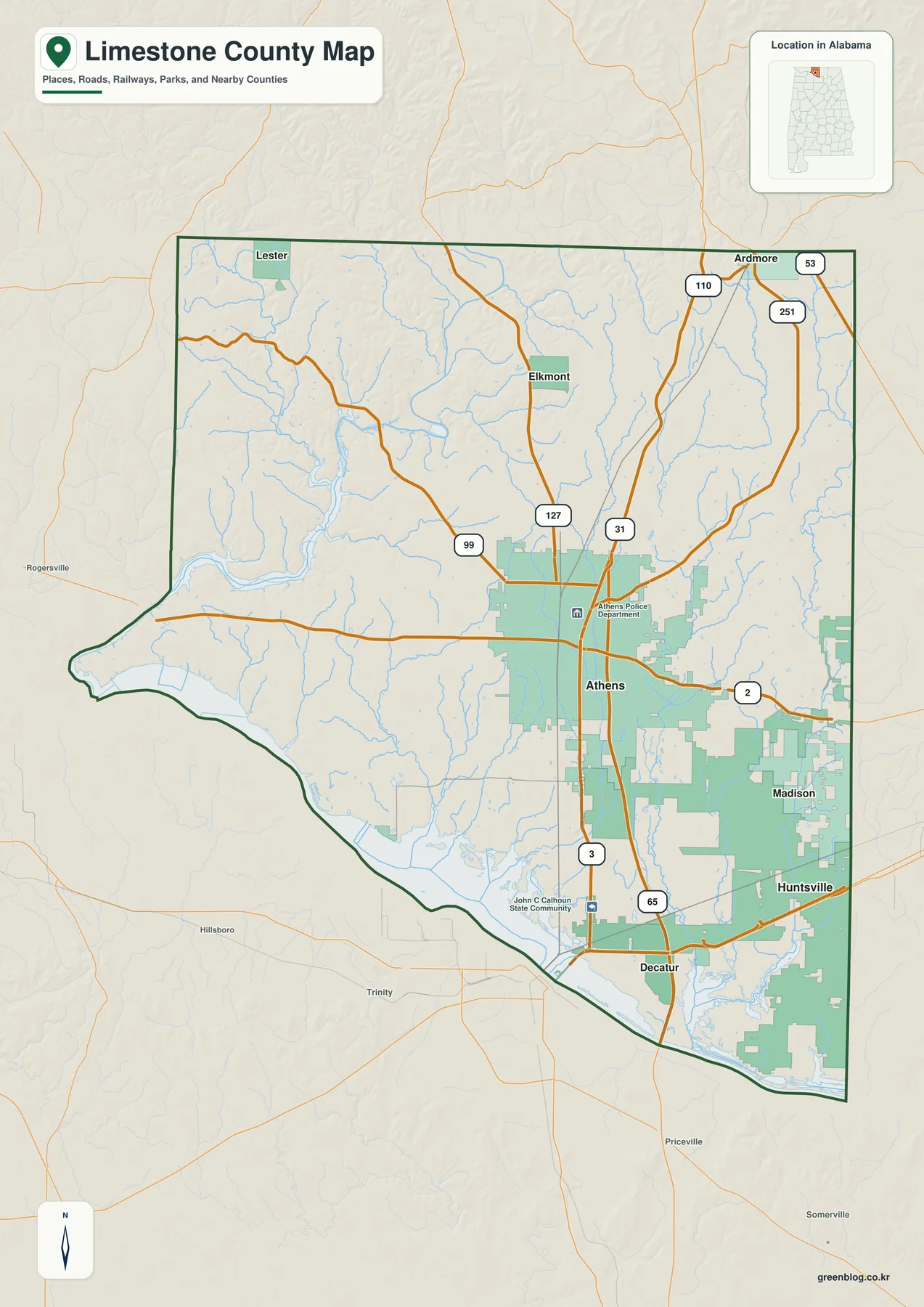
I-65 is the clearest north-south route. It passes the east side of Athens and continues toward Tennessee in one direction and Decatur and Birmingham in the other. U.S. 72 crosses Athens from west to east, creating the county’s most obvious regional crossroads. U.S. 31 and Alabama routes such as 127, 99, and 251 add the smaller connections that tie the northern communities into Athens and the interstate corridor.
The map also explains why Limestone County is difficult to describe as simply rural or suburban. Much of the west and north retains a small-town and agricultural setting, while the eastern side contains large areas associated with the expanding Huntsville and Madison city limits. In the southeast, I-565 links I-65 directly with Huntsville and the Decatur-facing industrial corridor. Those different areas sit within one county boundary but have very different day-to-day connections.
Towns and city limits from the Tennessee line to the river
The city map removes much of the background detail and makes the county’s settlement pattern easier to compare. Athens is the hub. Ardmore lies at the northeastern Tennessee line, Elkmont is north of Athens, Lester is toward the northwest, and Mooresville sits in the southeast close to the broader Huntsville–Decatur side of the Tennessee Valley.
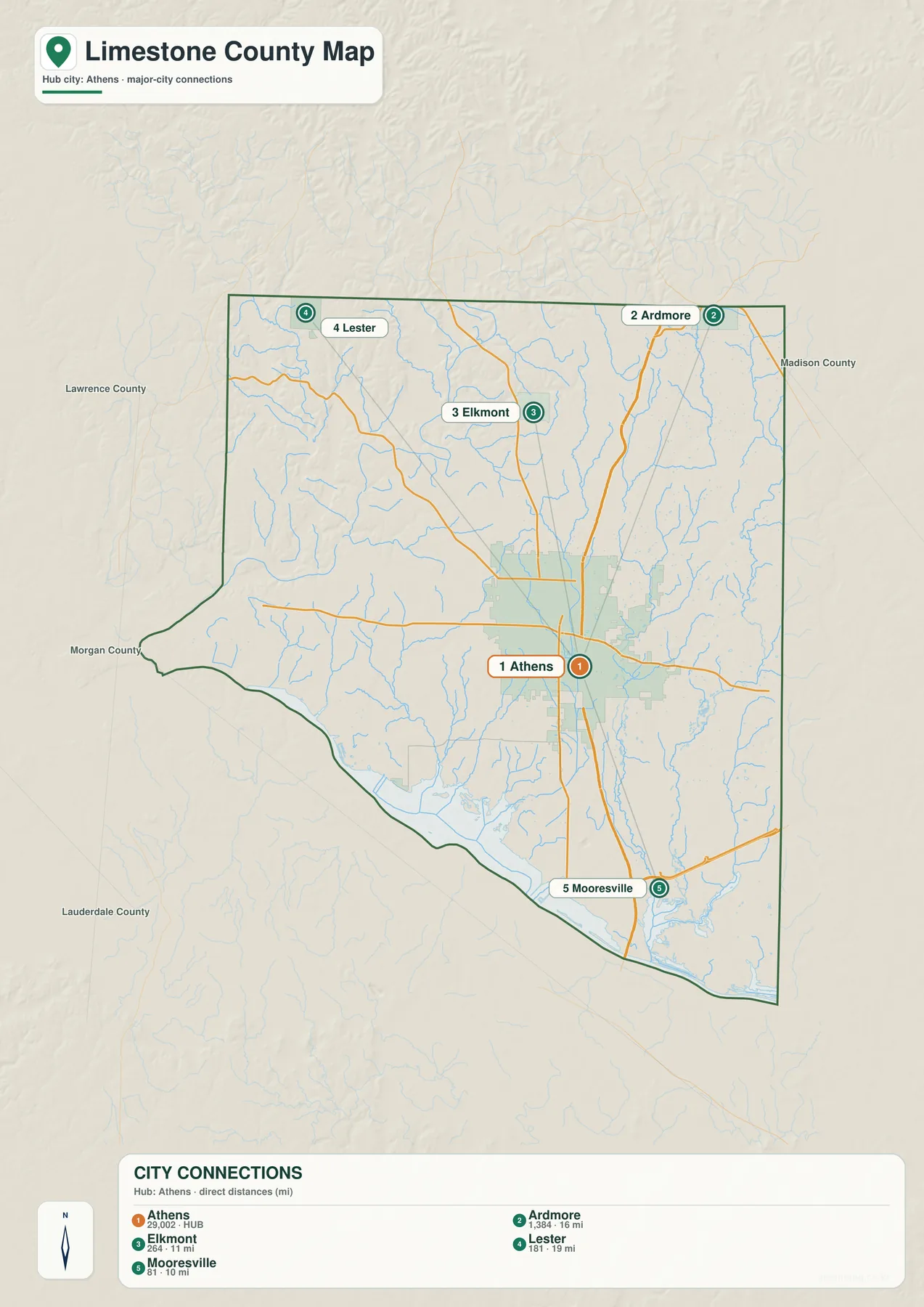
Athens has served as the county seat since 1819 and remains the administrative and commercial anchor. Elkmont and Ardmore help define the northern border area. The former railroad route through Elkmont survives as part of the Richard Martin Rails to Trails path, which continues toward Veto at the Tennessee state line. That makes Elkmont useful for understanding both the older transportation geography and the present-day rural north.
Mooresville is much smaller, but the source package gives it unusual historical importance. Limestone County’s official history identifies the town as incorporated in 1818, making it one of the oldest incorporated places in the county. Today it sits close to the part of Limestone County being reshaped by Huntsville and Madison growth, so the southeastern corner places an early settlement landscape beside modern industrial and residential expansion.
Huntsville and Madison deserve attention even though many readers associate both cities with Madison County. Their corporate limits extend into Limestone County, and Huntsville’s current planning area reaches far into the east. The source materials describe a 2025 Limestone County master plan covering roughly 45,000 acres. That is why an up-to-date map needs to show the eastern city limits rather than treating them as unrelated neighboring labels.
Tennessee River, Wheeler Reservoir, and the creek network
Water is one of the strongest physical features of Limestone County. The Tennessee River runs along the south and broadens into the Wheeler Reservoir system, while the Elk River approaches from the northwest. Between those larger waters, a dense network of creeks crosses the county and drains toward the river valley.
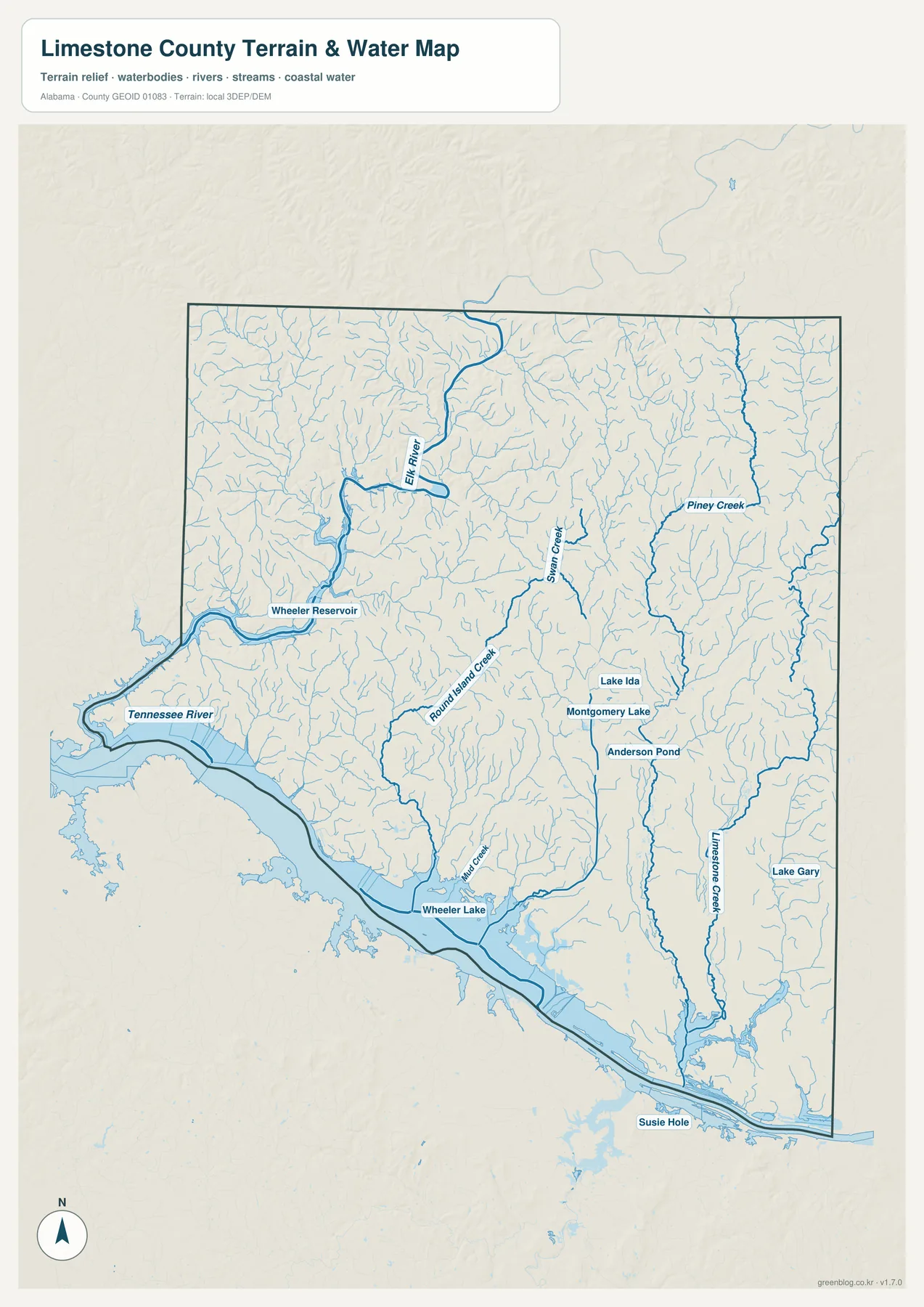
The map labels Swan Creek, Round Island Creek, Limestone Creek, Piney Creek, and Mill Creek among the interior channels. Smaller named waters include Lake Ida, Montgomery Lake, Anderson Pond, Lake Gary, and Susie Hole. These features are not equal in size, but together they show how widespread surface water is across the county rather than concentrating only at the Tennessee River.
The Elk River is particularly useful as a western reference. It enters the county from the Tennessee side and eventually joins the larger reservoir system. The source package also notes a county canoe route beginning near Elkmont and extending for 21.9 river miles. This gives the northwest a river-centered landscape that differs from the interstate and urban pattern on the east side.
Wheeler Reservoir has shaped the southern county for generations. The attached source material cites TVA figures of 67,070 acres of water surface and 1,027 miles of shoreline for the reservoir as a whole. Limestone County history further records that about 50,000 acres in the county were taken for the creation of Wheeler Lake and related works. The present shoreline therefore reflects a major twentieth-century change in farms, roads, settlement, power infrastructure, and river use.
From low Tennessee River ground to higher northern and eastern terrain
The elevation map adds a layer that is easy to miss on a road map. The actual range shown for Limestone County is about 137 to 268 meters, with a mean near 210 meters. The lowest colors concentrate along the Tennessee River and Wheeler Reservoir in the south, while higher ground becomes more common toward the north and especially the northeast.
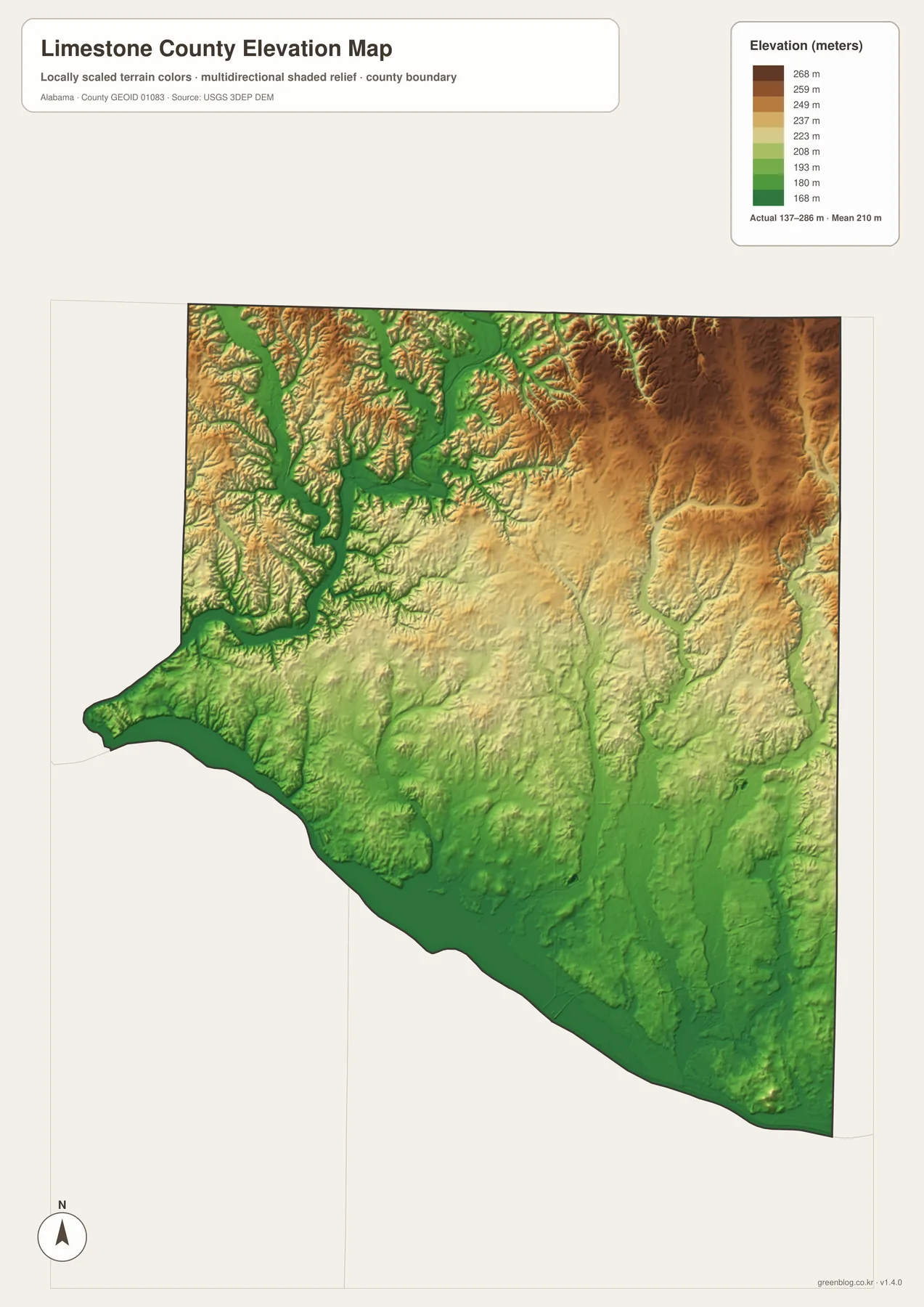
The northwest is cut by the Elk River and its tributaries, producing a more broken pattern of ridges and valleys. The northeast shows broad areas of higher relief, while the central and southern parts gradually drop toward the river. Comparing the water and elevation maps makes this relationship clear without requiring specialized GIS knowledge: many creeks descend through the higher interior and converge on the lower Tennessee River system.
A historic farm county inside a fast-growing Huntsville region
Limestone County was created in 1818 and was named for Limestone Creek and the limestone bed associated with it. Fertile Tennessee Valley soils made farming central to early settlement, and the county history included in the package describes cotton as a long-standing agricultural product. That background still matters in the north and west, where the map continues to show small communities, creek valleys, and large areas away from the interstate-oriented growth zones.
The county is also growing quickly. The Census material in the package gives a July 1, 2025 population estimate of 122,928, compared with a 2020 census population of 103,570. Rather than treating that figure as an isolated statistic, the maps help show where the change is occurring: Athens is expanding around its road network, Huntsville and Madison extend into the east, and I-565 connects major employment areas directly to I-65.
The Huntsville planning sources describe the Limestone County master-plan area as roughly 45,000 acres and identify long-term housing and employment growth. The materials also cite major employers such as Mazda Toyota Manufacturing, Polaris, and Amazon in the eastern development area. In 2026, Huntsville approved a 648.44-acre annexation south of I-565 that includes land planned for the first Huntsville City Schools campus in Limestone County. Those changes make the eastern edge one of the most important parts of the county to view on a current map.
The contrast is useful for understanding Limestone County as a whole. Ardmore, Elkmont, Lester, and the western river country still make the northern and western portions feel distinctly rural. Athens serves as the long-established county center. The southeast increasingly belongs to the Huntsville–Madison employment and housing market, while the Tennessee River remains the defining feature of the south. Each part can be understood separately, but the four maps are most useful when those pieces are compared together.
Choosing the map that fits your task
Use the county map when you need one-page orientation. It provides the strongest view of Athens, the principal highways, the county outline, and nearby cities. The city map is better when the question is simply where Ardmore, Elkmont, Lester, or Mooresville sits in relation to Athens. For natural features, the water and elevation sheets provide much more detail than the general road map.
- County map: best for roads, county boundaries, Athens, and regional orientation.
- City map: best for comparing Athens with Ardmore, Elkmont, Lester, and Mooresville.
- Water map: best for the Tennessee River, Wheeler Reservoir, Elk River, and named creeks.
- Elevation map: best for comparing the low southern river corridor with higher northern and northeastern ground.
The downloadable files are high-resolution A3 JPGs, so they are better suited to printing, classroom use, presentations, and close inspection than the web previews. You can keep all four in one ZIP and choose only the sheet needed for a particular project.
Frequently Asked Questions
Why are Huntsville and Madison shown on a Limestone County map?
Parts of both cities extend into Limestone County. Huntsville in particular has a large planning and annexation area on the east side near I-565 and I-65, so the city limits affect transportation, housing, industry, schools, and future development inside the county.
What creates the irregular southern edge of Limestone County?
The Tennessee River and Wheeler Reservoir form much of the southern landscape. The shoreline bends around broad water and tributary areas, so the county outline is more irregular there than along the straighter northern Tennessee boundary.
What elevation range is shown on the Limestone County map?
The elevation sheet shows an actual range of about 137 to 268 meters, with a mean near 210 meters. The lowest areas are generally near the Tennessee River and Wheeler Reservoir, while higher terrain is more common toward the north and northeast.
Map File Information
Limestone County A3 map files
- Included Files: 4 high-resolution A3 JPG map files shown in this article
- File Type: JPG files in a ZIP archive
- Intended Use: Printing, education, presentations, and map-based projects
Related Maps
- Abbeville, Headland, and Lake Eufaula on the Henry County Alabama Map
- Autauga County Map
- Barbour County Alabama Map
Sources and References
- U.S. Census Bureau QuickFacts – population and county statistics
- Limestone County official history – county formation, Athens, agriculture, and Wheeler Lake background
- City of Huntsville Limestone County growth plan – eastern planning area and long-term growth
- TVA Wheeler Reservoir – reservoir context for the Tennessee River corridor
- Limestone County Richard Martin Rails to Trails – Elkmont and northern railroad-trail context
Green Map creates custom-edited map images using open geographic data sources such as geoBoundaries, Natural Earth, OpenStreetMap, and government open data. These maps are edited visual materials, not raw data files, and are provided for education, documents, presentations, and graphic reference.