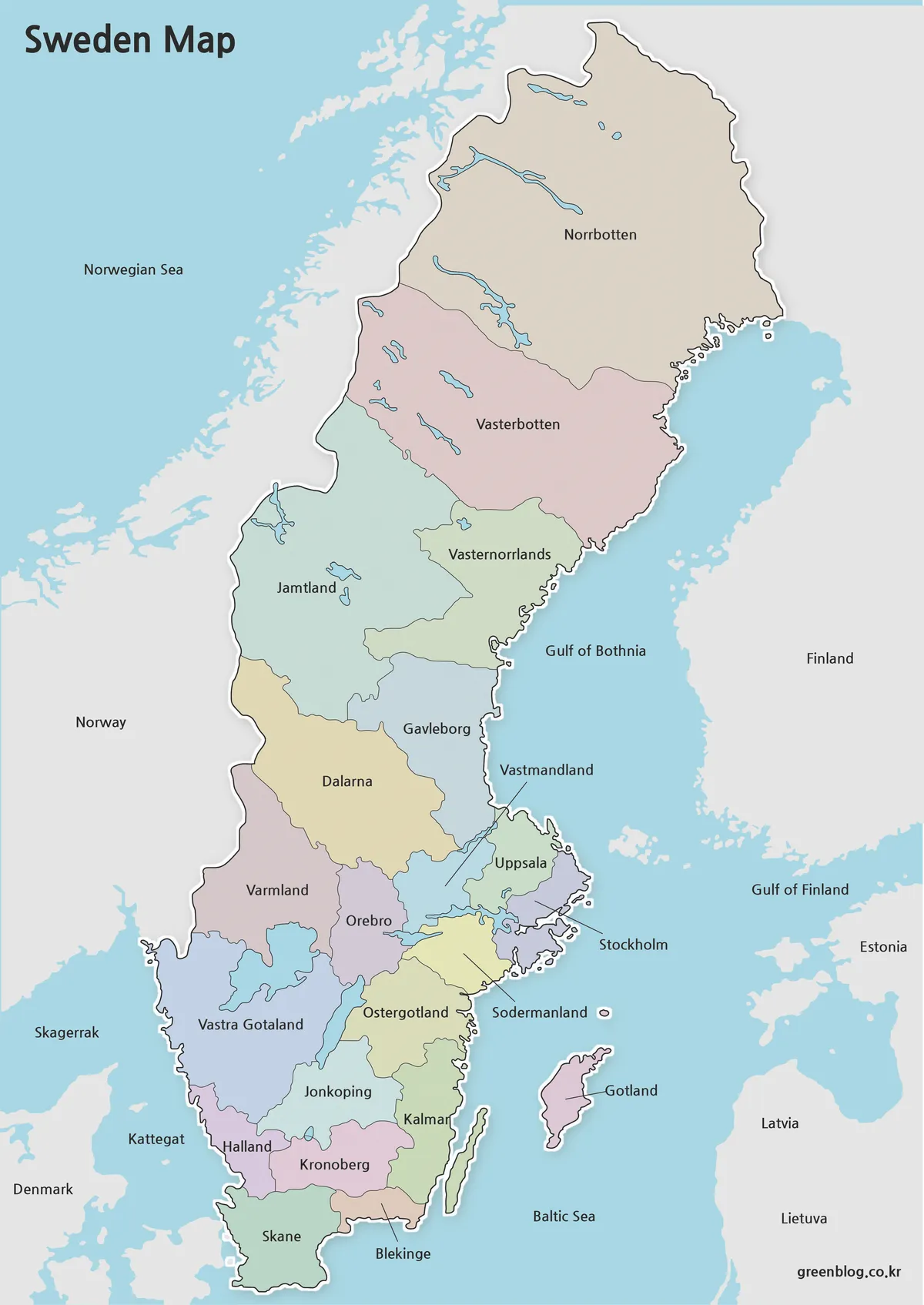
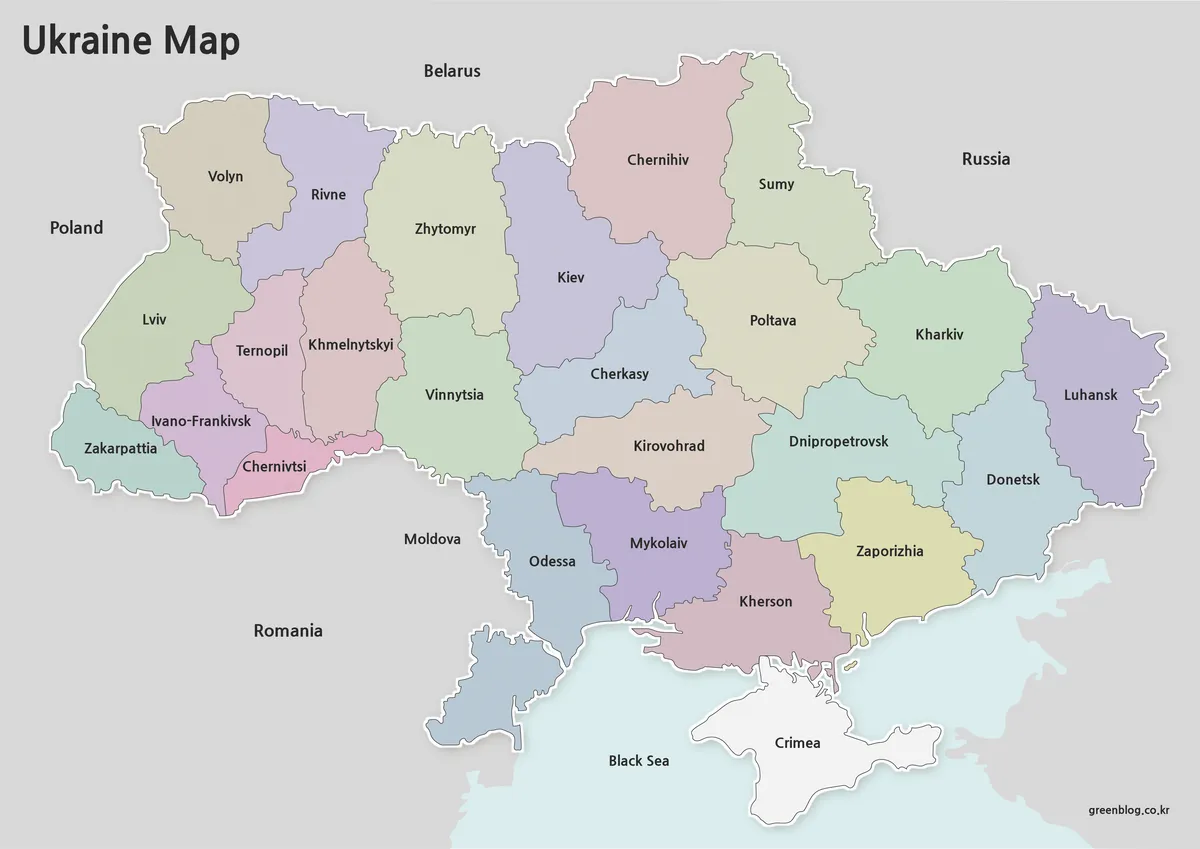
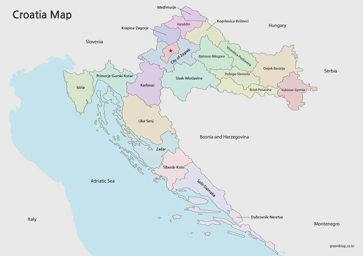
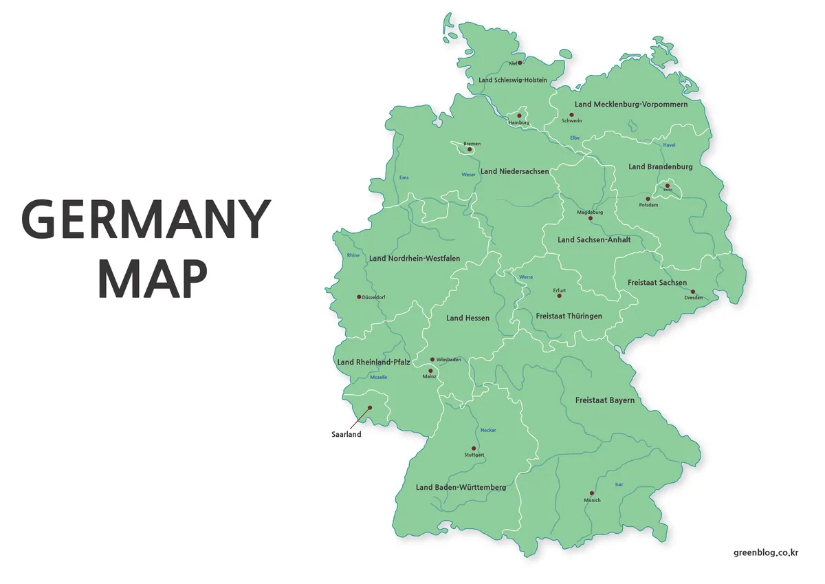
A Georgia Map of the country reveals an east–west territory positioned between the Black Sea and the Caucasus, not the U.S. state with the same English name. The national framework shown here consists of nine regions, the Autonomous Republics of Abkhazia and Adjara, and the separately identified capital area of Tbilisi. Russia, Azerbaijan, Armenia, and Türkiye are labeled around the land borders.
The collection contains three coordinated images: a labeled color map, a labeled black-and-white map, and an unlabeled outline. All were organized for A3 use and share the same external border and internal administrative geometry. The versions support country-reference pages, geography lessons, presentation graphics, labeling worksheets, regional statistics, and custom annotations.
These are administrative maps rather than physical or transportation maps. They do not include roads, railways, airports, ports, rivers, mountain relief, or elevation. The Greater Caucasus is important to understanding the northern border, and the Mtkvari River helps explain Tbilisi’s location, but neither feature is drawn in the supplied images.
Table of Contents
Reading the Georgia Map between the Black Sea and Caucasus
Georgia extends from its Black Sea coast in the west toward Azerbaijan in the east. Russia lies along the northern side, while Türkiye and Armenia border the south and southwest. Azerbaijan touches the country along the east and southeast. This surrounding context helps distinguish the coastal areas of western Georgia from the inland districts around Tbilisi and Kakheti.
The western part contains Abkhazia, Samegrelo-Zemo Svaneti, Guria, Adjara, and much of Imereti. Adjara reaches the Black Sea beside Türkiye and includes the area associated with Batumi, although Batumi itself is not marked. Abkhazia occupies the northwestern coast, while Samegrelo-Zemo Svaneti connects the coastal lowlands with the mountain areas to the north.
Central Georgia is divided among Imereti, Racha-Lechkhumi and Kvemo Svaneti, Shida Kartli, and Samtskhe-Javakheti. Their shapes create a chain between the western coast and the eastern half of the country. Mountain corridors influence the real landscape, but the map communicates that transition only through administrative boundaries rather than terrain shading.
Mtskheta-Mtianeti, Tbilisi, Kvemo Kartli, and Kakheti form the principal eastern pattern. Kakheti covers the broad eastern end, Kvemo Kartli follows much of the southern side, and the compact Tbilisi unit sits between neighboring regional boundaries. A leader line identifies the capital because its polygon is too small to hold a large label without crowding the map.
Administrative Units Represented
The nine regions are Guria, Imereti, Kakheti, Kvemo Kartli, Mtskheta-Mtianeti, Racha-Lechkhumi and Kvemo Svaneti, Samegrelo-Zemo Svaneti, Samtskhe-Javakheti, and Shida Kartli. Adjara and Abkhazia are labeled as autonomous republics, while Tbilisi is treated separately as the capital city and a distinct administrative and statistical unit.
Several names require careful placement. Racha-Lechkhumi and Kvemo Svaneti is a long compound name in a relatively narrow northern area. Samegrelo-Zemo Svaneti and Samtskhe-Javakheti also need line breaks, while Mtskheta-Mtianeti is split across two lines. The Georgia Map uses those breaks to preserve readable letters without hiding boundary segments.
The English spellings follow widely used forms on regional references. Some official Georgian statistical tables use Ajara, Apkhazeti, or Samtskhe-Javaxeti, while English maps commonly use Adjara, Abkhazia, and Samtskhe-Javakheti. The files use the latter set consistently, which is appropriate for a general English-language audience.
Abkhazia, South Ossetia, and What the Lines Mean
The map follows Georgia’s de jure administrative framework. Abkhazia appears because Georgian law treats it as an autonomous republic within the internationally recognized territory of Georgia. Its current political and control status is not communicated through a separate texture, dashed boundary, or explanatory symbol in these files.
South Ossetia, also referred to in Georgian contexts as the Tskhinvali region or Samachablo, is not presented as one of the regular nine regions or two autonomous republics. The supplied images do not draw its de facto boundary. Areas associated with the dispute remain inside the ordinary regional framework, principally around Shida Kartli and adjoining territories.
This distinction matters when choosing a source for a project. The three files can explain administrative divisions and internationally recognized national extent, but they are not current-control maps. A political, conflict, security, or travel-risk presentation should use an appropriately dated specialist reference and explain the difference between recognized borders and effective control.
Georgia Map Versions and Image Placement
Each image belongs directly beneath the corresponding subsection below. The color version introduces spatial relationships, the black-and-white version prioritizes labels, and the outline reserves the available area for information added by the reader.
Color Map for Regional Comparison
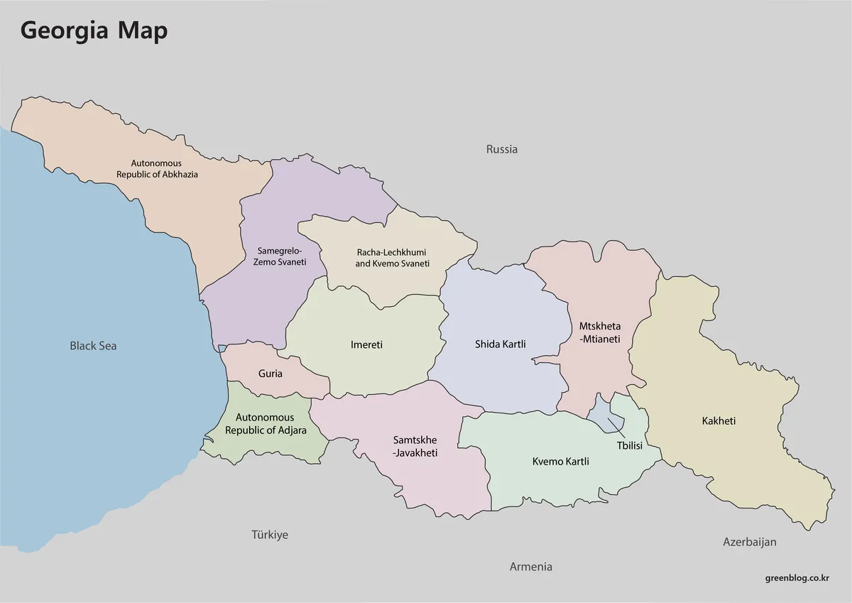
Soft contrasting fills separate adjacent administrative areas without overwhelming the names. The difference between small Guria, compact Tbilisi, broad Kakheti, and the long northwestern Abkhazia area becomes immediately visible. Gray surroundings and blue water keep Georgia at the center of the composition.
The color Georgia Map is suited to projected lessons, country introductions, and graphics that compare west, center, and east. It also shows how Adjara and Abkhazia meet the Black Sea, while Samtskhe-Javakheti, Kvemo Kartli, and Kakheti relate to the southern and eastern borders. No city symbols other than the Tbilisi administrative area are included.
Black-and-White Map for Names and Boundaries
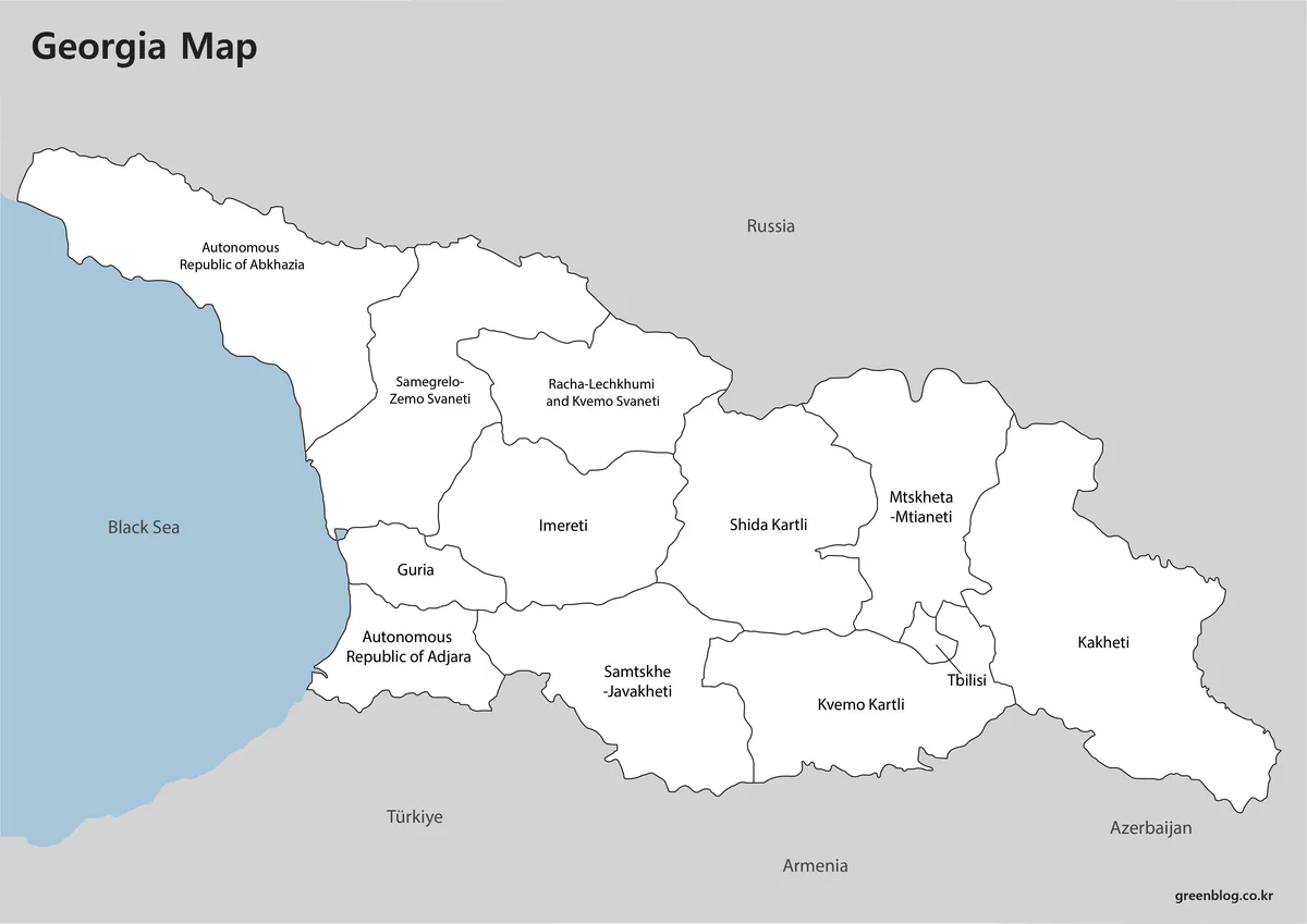
The administrative areas use white fills so that labels and border lines receive more attention. The Black Sea remains blue rather than turning fully monochrome, which prevents the western coastline from blending into the background. Russia, Türkiye, Armenia, and Azerbaijan remain visible as location references.
This Georgia Map works in reports, classroom handouts, and exercises where students must identify selected areas while retaining a complete name key. Users can circle Tbilisi, highlight the autonomous republics, or add a simple west-to-east route. Detailed transportation lines must be supplied separately because the source image contains none.
Outline Map for Custom Labels and Data
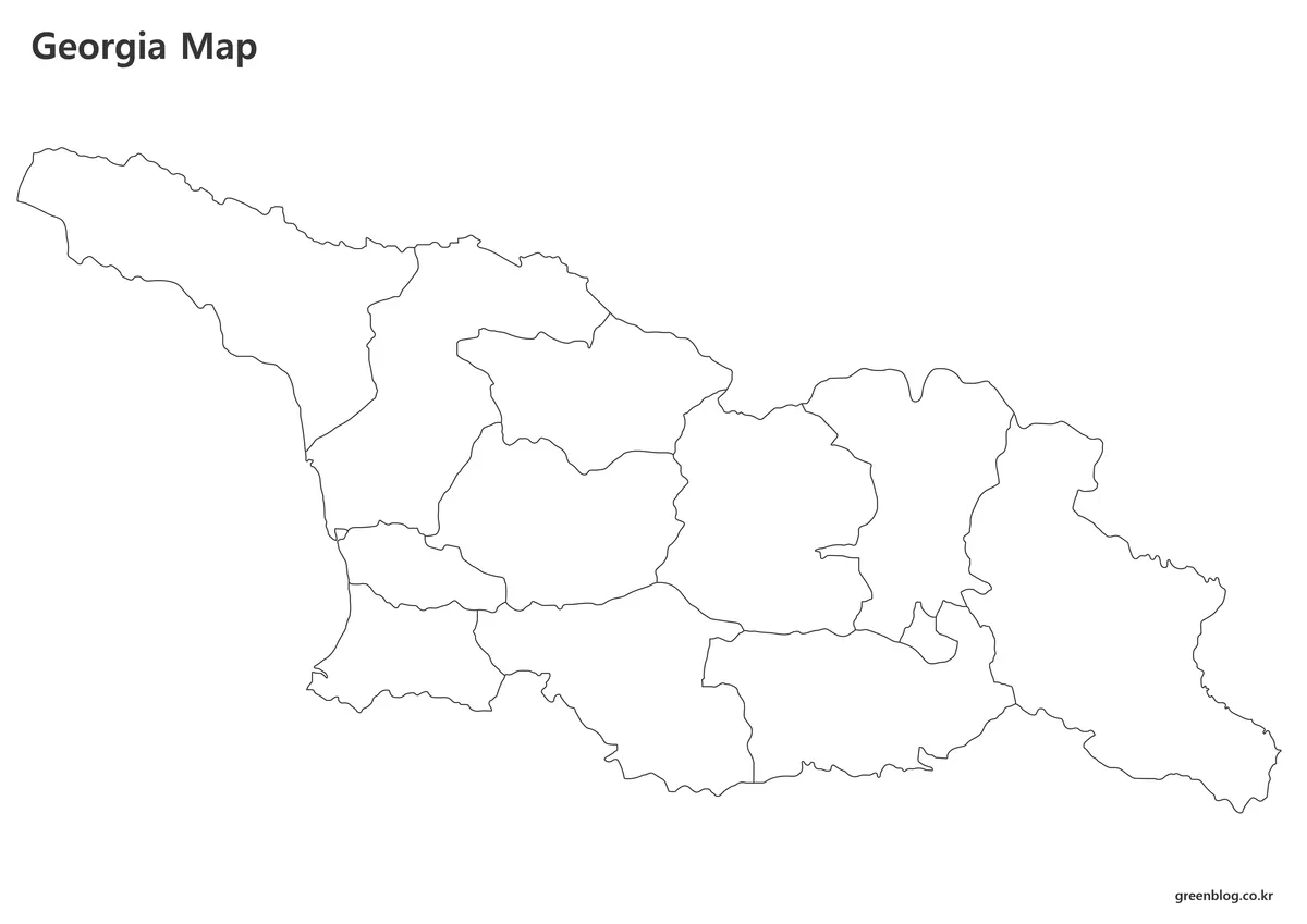
The outline removes region names, surrounding countries, background colors, and the blue sea area. What remains is the national shape and the internal lines for the nine regions, two autonomous republics, and Tbilisi. The open layout provides considerably more room for handwriting, symbols, and new thematic colors.
An outline Georgia Map can be used to label the Black Sea and four bordering countries, mark Tbilisi and Batumi, or color western, central, and eastern groups. It can also display population, agriculture, climate, or tourism data by region. The supplied file is a raster image, so it should not be described as a vector or shape-editable source unless a separate vector file is provided.
Selecting and Printing the Right File
Choose the color image when readers must separate regions immediately on a screen. Select the labeled black-and-white version when regional names are essential but multiple fill colors would compete with other document elements. Use the blank outline when the final graphic requires a new legend, custom statistics, handwritten labels, or a route drawn by the reader.
The A3 landscape format gives compound names enough horizontal room, but the files may be reduced for A4 printing. Before using a smaller sheet, inspect Tbilisi and the line-broken labels in Mtskheta-Mtianeti, Samegrelo-Zemo Svaneti, and Racha-Lechkhumi and Kvemo Svaneti. These are likely to lose clarity before short names such as Guria or Kakheti.
A three-stage activity can use the versions together. Begin with the color Georgia Map to introduce the structure, use the black-and-white copy for guided identification, and finish with the outline for recall. This sequence lets learners use the coastline, border directions, and region shapes as location clues.
Classroom, Presentation, and Data Uses
For regional geography, students can compare the Black Sea-facing west with the inland east and identify which administrative units meet international borders. A neighboring-country exercise can place Russia to the north, Azerbaijan to the east and southeast, Armenia to the south, and Türkiye to the southwest. The outline is especially effective because all five surrounding labels, including the Black Sea, must be supplied by the learner.
A country presentation can add the Greater Caucasus, Lesser Caucasus, and Mtkvari River as a separate overlay while clearly stating that these are not part of the original map. Travel graphics can mark Tbilisi and Batumi before drawing a proposed route. The administrative boundaries provide location context but should not be treated as a substitute for road conditions or travel advisories.
Regional data can be placed inside the larger polygons or connected with callout lines where space is limited. Any population series should state its year and geographic coverage because some Georgian statistics exclude territories not under central-government control. The Georgia Map supplies the spatial framework; the data definitions and dates must come from the person creating the finished graphic.
Frequently Asked Questions
Is this a map of the country or the U.S. state?
It shows the country of Georgia in the South Caucasus. The Black Sea, Russia, Türkiye, Armenia, and Azerbaijan make that context explicit. A page title, image ALT text, or caption should include “country” or “South Caucasus” where necessary to prevent confusion with the U.S. state of Georgia.
How many administrative units are shown?
The map displays nine regions, the Autonomous Republic of Adjara, the Autonomous Republic of Abkhazia, and the separate Tbilisi area. That produces 12 mapped units in the first-level framework used for this resource. Municipalities and districts below that level are not shown.
Does the Georgia Map show South Ossetia?
No separate South Ossetian or de facto control boundary appears in these images. The files show Georgia’s regular administrative framework rather than a current-control or conflict map. Projects dealing with political status should add an explanatory note and consult a dated specialist source.
Why is Tbilisi identified with a leader line?
Tbilisi occupies a small area compared with the surrounding regions. Placing its name entirely inside the polygon would crowd the boundary and reduce legibility. The leader line allows readers to see both the capital’s location and the shape of the surrounding administrative units.
Which version should I choose for a worksheet?
Use the outline when students must supply all names or apply their own colors. Choose the black-and-white version when they need regional labels as a reference. The color map is better for introductory displays and quick comparisons of regional position and size.
Map File Information
The collection provides three A3-oriented images of Georgia’s administrative framework and Black Sea setting.
- Included Versions: Labeled color map, labeled black-and-white map, and unlabeled outline map
- Printable Size: A3
- File Type: Image files
- Intended Use: Printing, geography lessons, presentations, annotations, regional comparison, and thematic data
Related Maps
Additional Resources
- Statistical Yearbook of Georgia 2025: The National Statistics Office of Georgia provides official national and regional statistics for checking dates, geographic coverage, and administrative data.
Green Map creates custom-edited map images using open geographic data sources such as geoBoundaries, Natural Earth, OpenStreetMap, and government open data.
These maps are edited visual materials, not raw data files, and are provided for education, documents, presentations, and graphic reference.