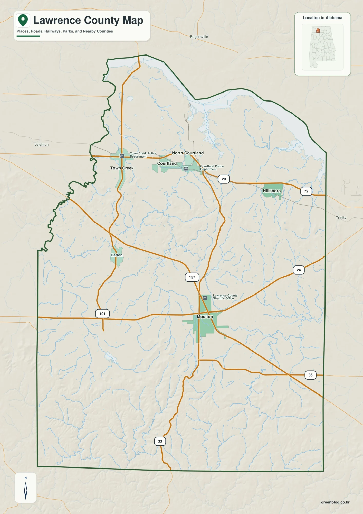
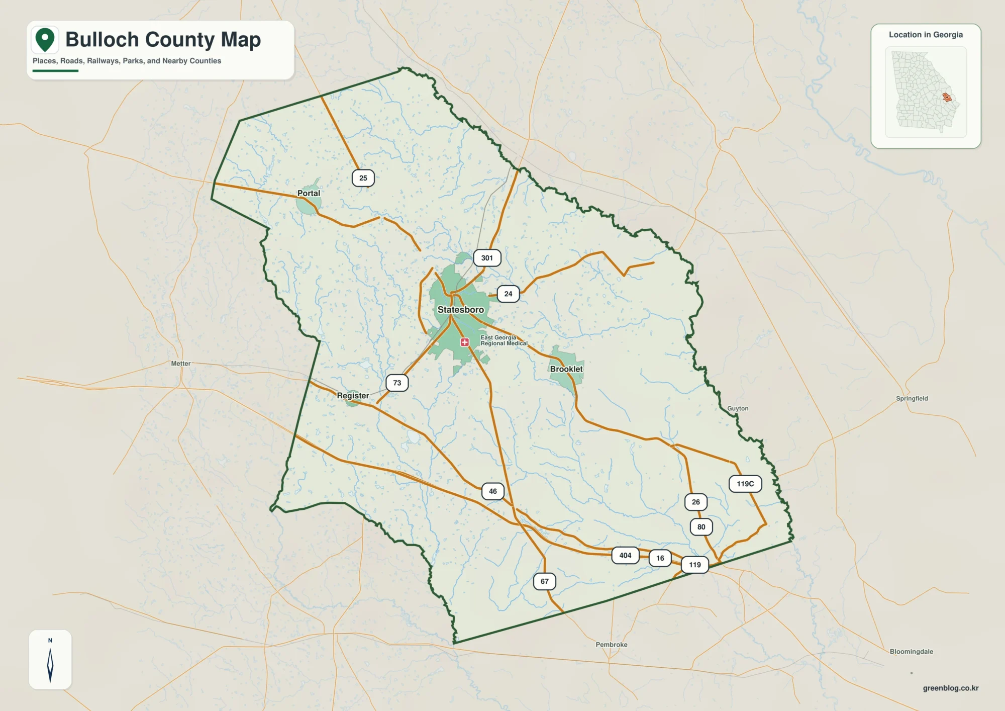
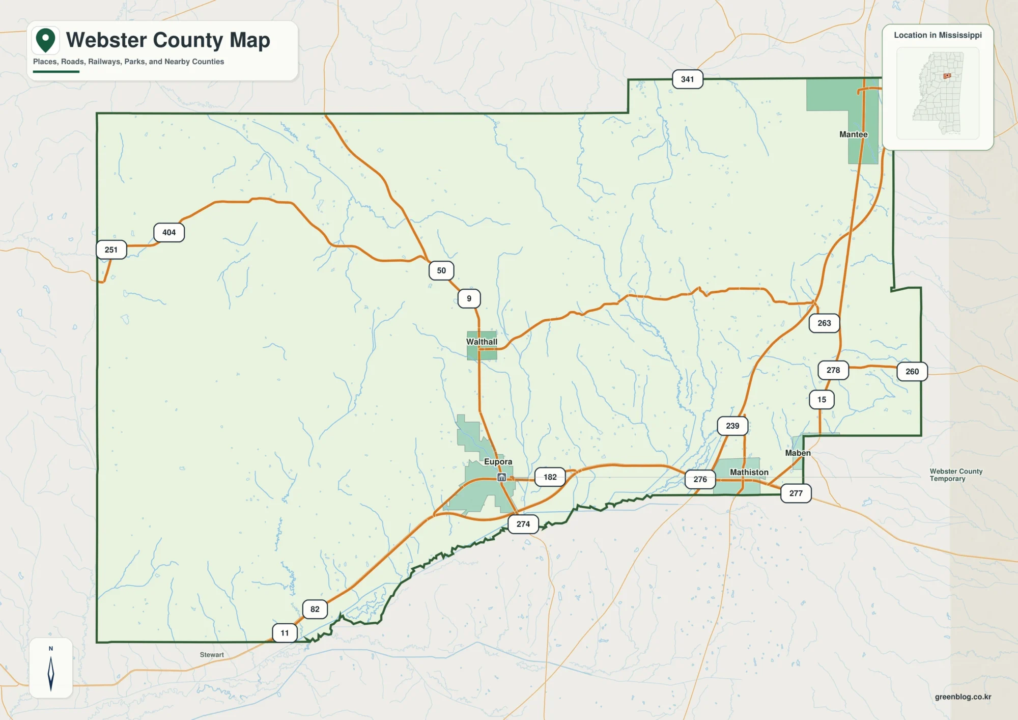
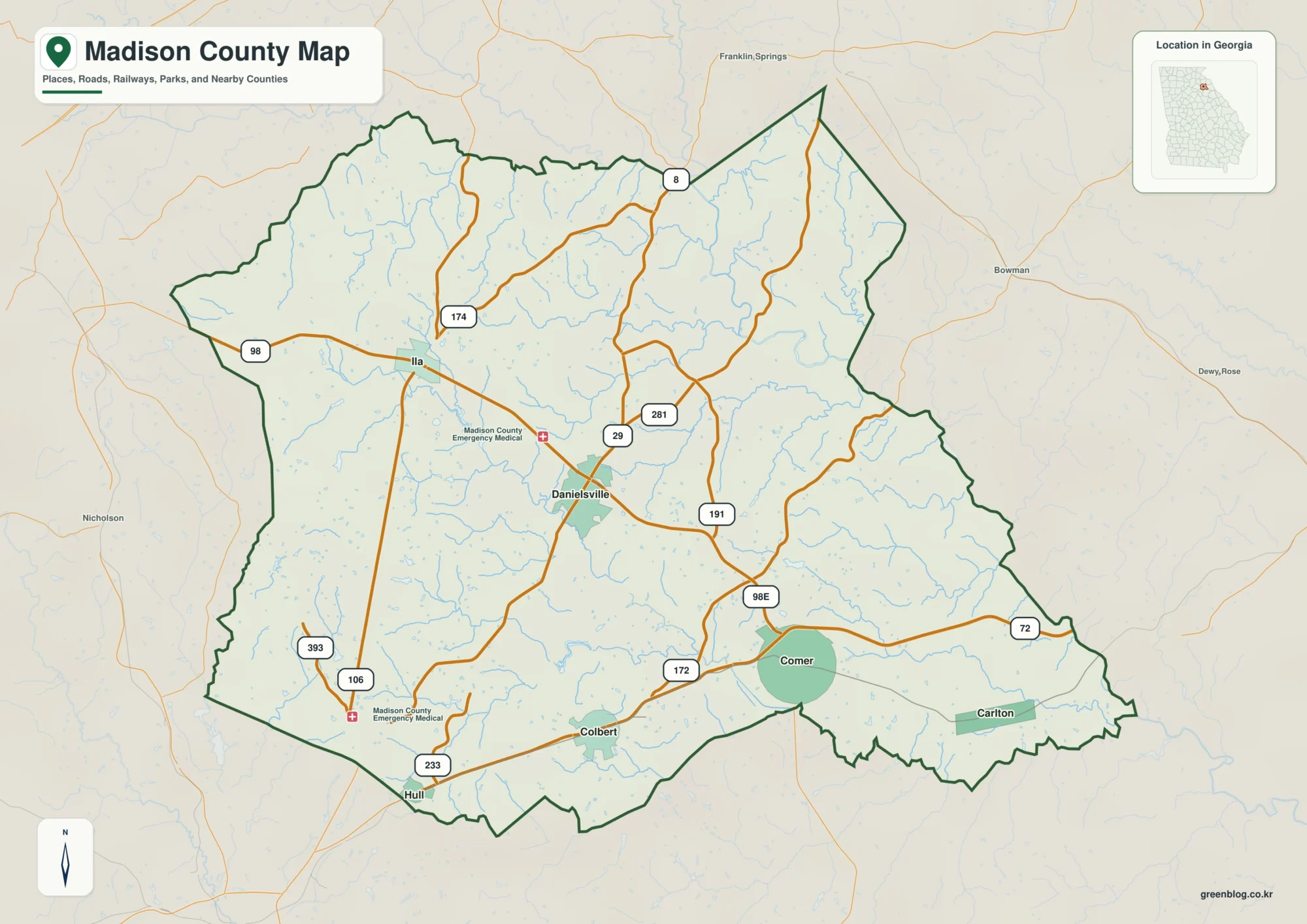
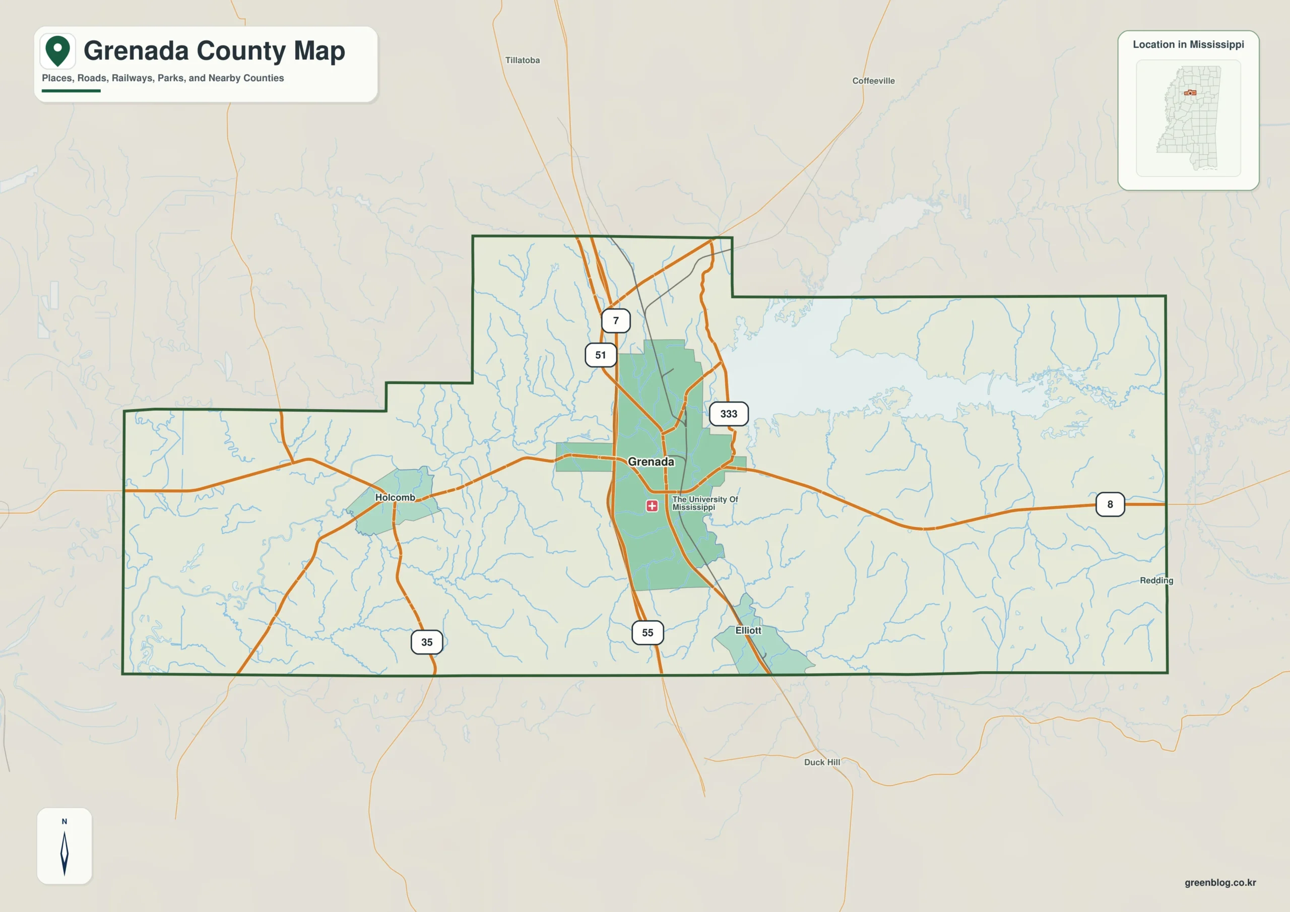
Grenada Lake dominates the eastern side of the Grenada County Mississippi map, while the city of Grenada anchors the I-55 corridor to the west. Holcomb, Elliott, and Gore Springs make it possible to read the county beyond its single principal city.
Grenada County Mississippi map download
The WebP preview is optimized for the page, while the button preserves the original high-resolution JPG for printing and reuse.
- File: County reference map
- Format: JPG
- Print layout: A3
Quick Facts
- State and identifier: Mississippi, Grenada County; FIPS 28043
- County seat: Grenada
- Selected map labels: Grenada, Holcomb, Elliott, Gore Springs
- 2020 census population: 21,629
- July 2025 population estimate: 20,868
- 2025 Gazetteer area: 422.113 sq mi land and 27.291 sq mi water
- 2020 land-area density: 51.2 residents per sq mi
- Primary route references: I-55, US 51, MS 7, and MS 8
- Landscape references: Grenada Lake, Yalobusha River, Skuna River, and the Delta-to-hills transition
The decennial count and July 2025 estimate use different reference dates. Land and water measurements come from the 2025 Gazetteer. The density of 51.2 residents per square mile divides the 2020 population by 2025 land area and does not imply an even distribution among cities, farms, forest, or wetland.
Reading the Grenada County Mississippi map
I-55 and US 51 run through Grenada, creating a strong north-south spine. MS 8 crosses from Holcomb through the city toward the lake, and the Elliott and Gore Springs labels separate the southeastern and northeastern approaches. Boat ramps, recreation areas, and minor lakeside roads are outside this general reference map's scope.
Boundary, Water, and Terrain
The terrain changes across a relatively short distance. Low country toward Tallahatchie and Leflore counties gives way to hillier ground toward Calhoun and Webster counties. Grenada Lake, formed on the Yalobusha River system, occupies a conspicuous eastern area and breaks up what would otherwise be a compact county outline.
Settlement and Regional Context
Grenada grew where rail and highway routes concentrated regional trade. The modern I-55 interchange pattern reinforces that urban center, whereas the reservoir brings flood-control and recreation functions to the eastern county. These two zones explain why the city and lake deserve equal weight on the map.
Practical Map Uses
- Follow MS 8 between downtown Grenada and Grenada Lake
- Separate Holcomb's lowland approach from the Gore Springs hills
- Use I-55 to orient the Yalobusha and Carroll county sides
Frequently Asked Questions
Which map feature best separates eastern and western Grenada County?
Grenada Lake provides the strongest eastern landmark, while I-55 organizes the western urban corridor. Reading both together reveals the county's split structure.
Why compare Grenada Lake with the spacing from Grenada to Holcomb and Yalobusha?
The interval from Grenada to Holcomb describes settlement spacing, while Grenada Lake and the Yalobusha side add physical and boundary evidence.
Sources
- U.S. Census Bureau QuickFacts
- U.S. Census Bureau 2025 Gazetteer Files
- Mississippi Department of Transportation official highway map
- Regional landscape or institution reference
Related County Maps
Green Map creates custom-edited map images using open geographic data sources such as geoBoundaries, Natural Earth, OpenStreetMap, and government open data.
These maps are edited visual materials, not raw data files, and are provided for education, documents, presentations, and graphic reference.