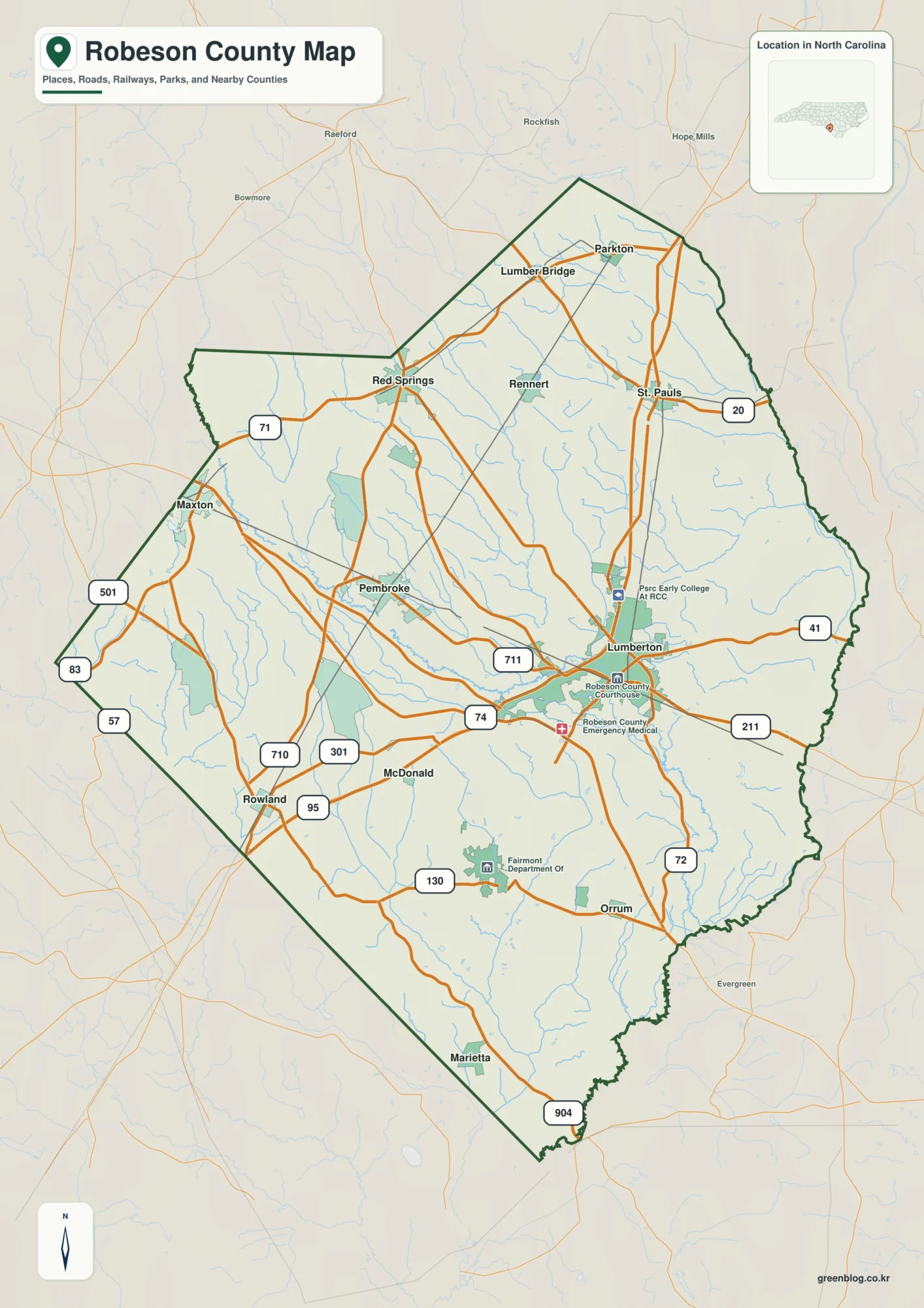
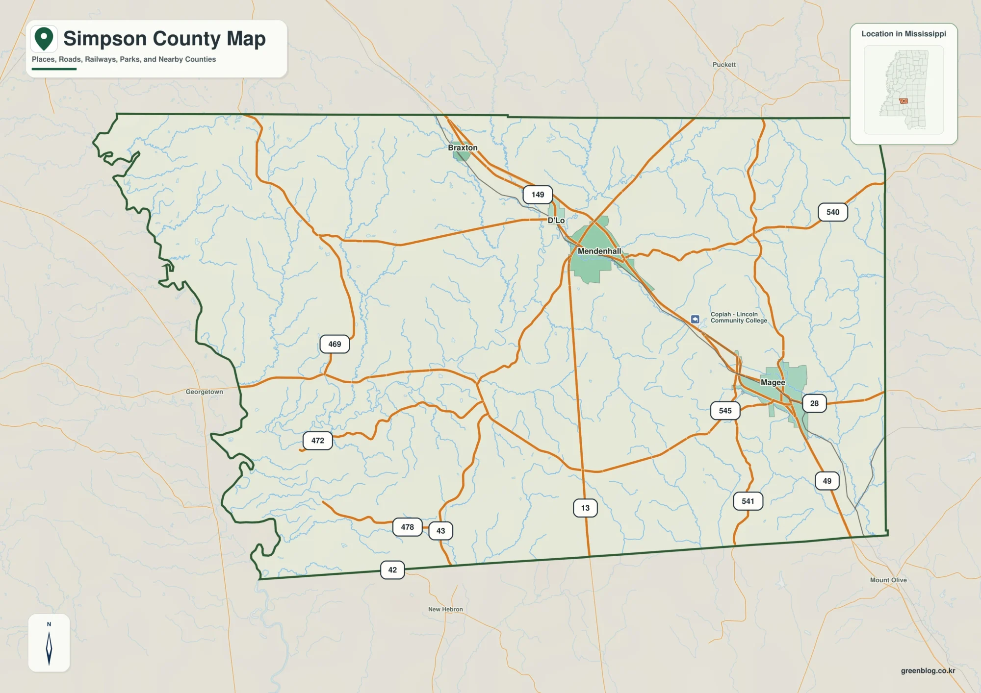
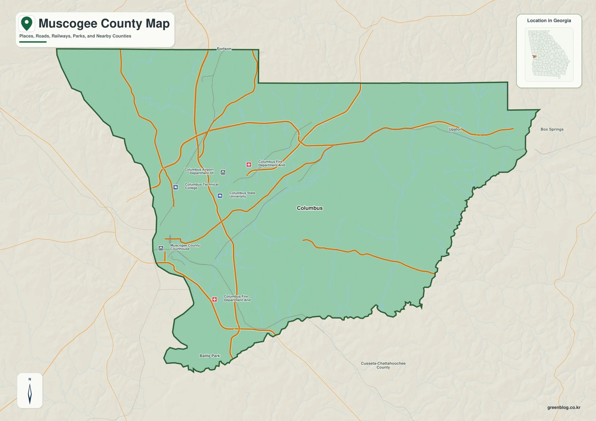
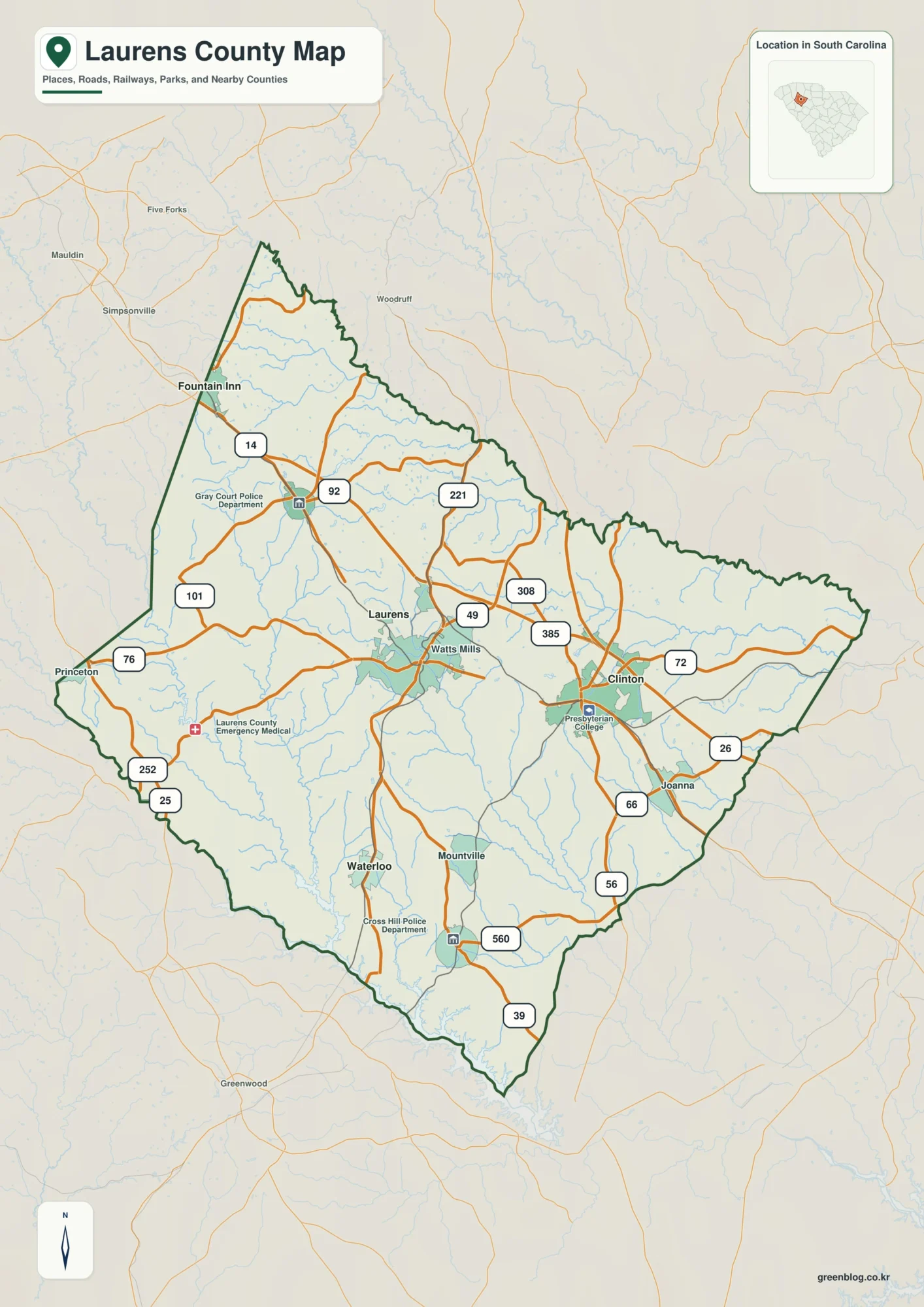
The Claiborne County Mississippi map separates the Mississippi River lowlands from the higher interior centered on Port Gibson. Lorman, Hermanville, and Pattison provide additional anchors for judging the county’s reach eastward from the river and for locating the historic landscapes around US 61.
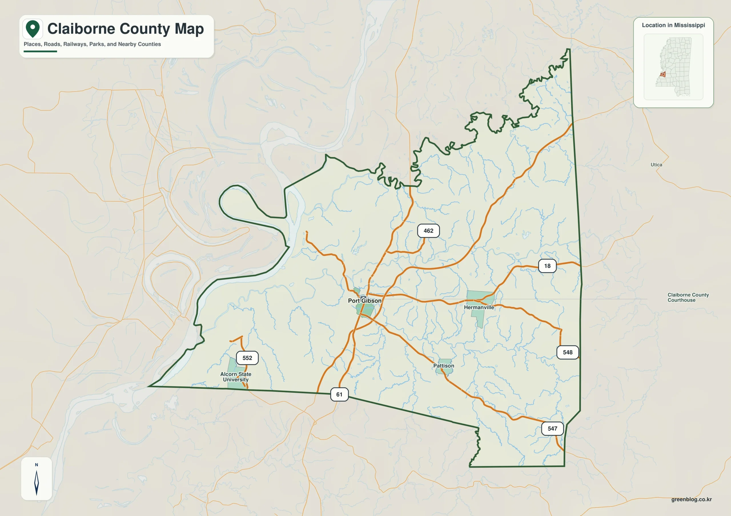
Claiborne County Mississippi map download
The WebP preview is optimized for the page, while the button preserves the original high-resolution JPG for printing and reuse.
- File: County reference map
- Format: JPG
- Print layout: A3
Quick Facts
- State and identifier: Mississippi, Claiborne County; FIPS 28021
- County seat: Port Gibson
- Selected map labels: Port Gibson, Lorman, Hermanville, Pattison
- 2020 census population: 9,135
- July 2025 population estimate: 8,058
- 2025 Gazetteer area: 487.415 sq mi land and 13.788 sq mi water
- 2020 land-area density: 18.7 residents per sq mi
- Primary route references: US 61, MS 18, MS 547, and Natchez Trace Parkway
- Landscape references: Mississippi River floodplain, loess bluffs, Bayou Pierre, and Windsor Ruins
The decennial count and the July 2025 estimate represent different reference dates. Land and water values come from the 2025 Gazetteer. The density of 18.7 residents per square mile uses the 2020 population and land area; it does not imply an even distribution among towns, farms, forests, or floodplain.
Claiborne County Mississippi map: What It Shows
Port Gibson is the administrative and route anchor, but the county extends far beyond the town. Lorman marks the Alcorn State University area to the south, Hermanville identifies the northeastern interior, and Pattison helps orient the eastern side. The sparsely labeled river plain is best read through the bluff line, Bayou Pierre, and connecting roads.
County Layout and Location
The western boundary bends with the Mississippi River, facing Tensas Parish in Louisiana. A sharp transition from floodplain to loess bluffs organizes travel more strongly than the county outline alone suggests. Natchez Trace Parkway crosses the hillier eastern side, creating a second regional corridor distinct from the river and US 61.
Local Context: Port Gibson and the Bluff Edge
Organized in 1802, Claiborne County developed through river commerce, plantation agriculture, and the civic role of Port Gibson. Alcorn State University near Lorman and the Windsor Ruins south of Port Gibson add distinctive cultural landmarks, while the modern settlement pattern remains dispersed outside the seat.
Ways to Use This Map
- Frame a Port Gibson or Windsor Ruins history lesson
- Compare the river plain with the inland bluff corridor
- Place Alcorn State University within southwest Mississippi
Frequently Asked Questions
Why is Port Gibson inland from the Mississippi River?
The town occupies higher ground east of the floodplain. That separation from the active river edge helps explain the road approaches and the importance of nearby bluffs.
Why is Port Gibson alone insufficient for interpreting Mississippi River floodplain near Jefferson?
The Port Gibson label marks a human center, but Mississippi River floodplain extends through a wider landscape whose relationship with Jefferson cannot be inferred from town labels alone.
Sources
- U.S. Census Bureau QuickFacts
- U.S. Census Bureau Gazetteer Files
- Mississippi Encyclopedia: Claiborne County
- Mississippi Department of Transportation official highway map
Related County Maps
Green Map creates custom-edited map images using open geographic data sources such as geoBoundaries, Natural Earth, OpenStreetMap, and government open data.
These maps are edited visual materials, not raw data files, and are provided for education, documents, presentations, and graphic reference.