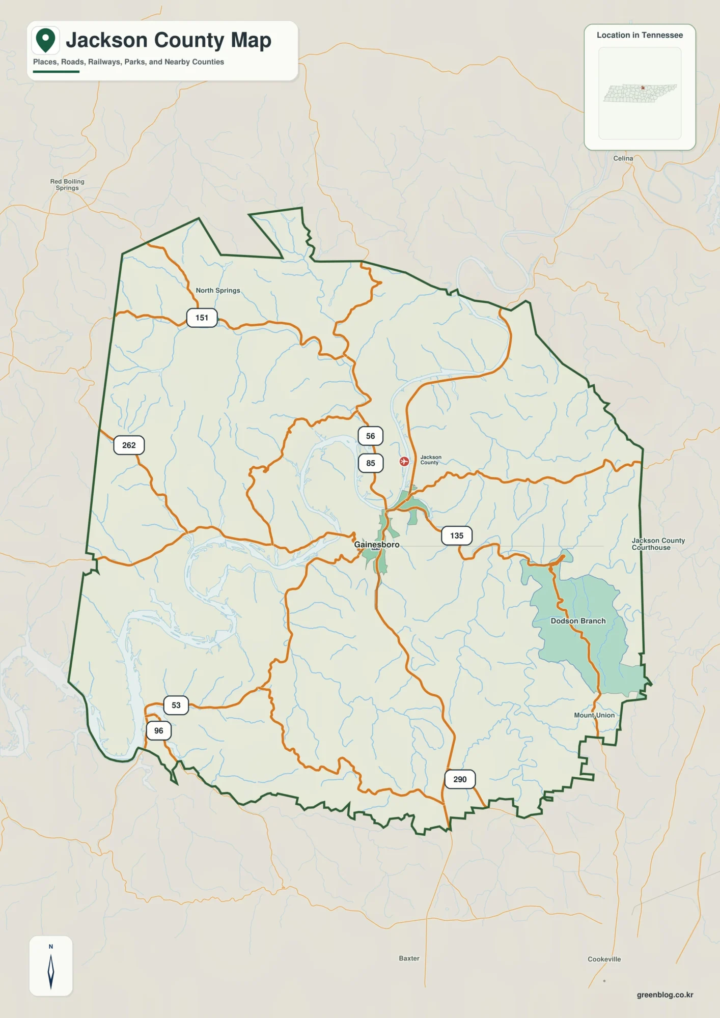
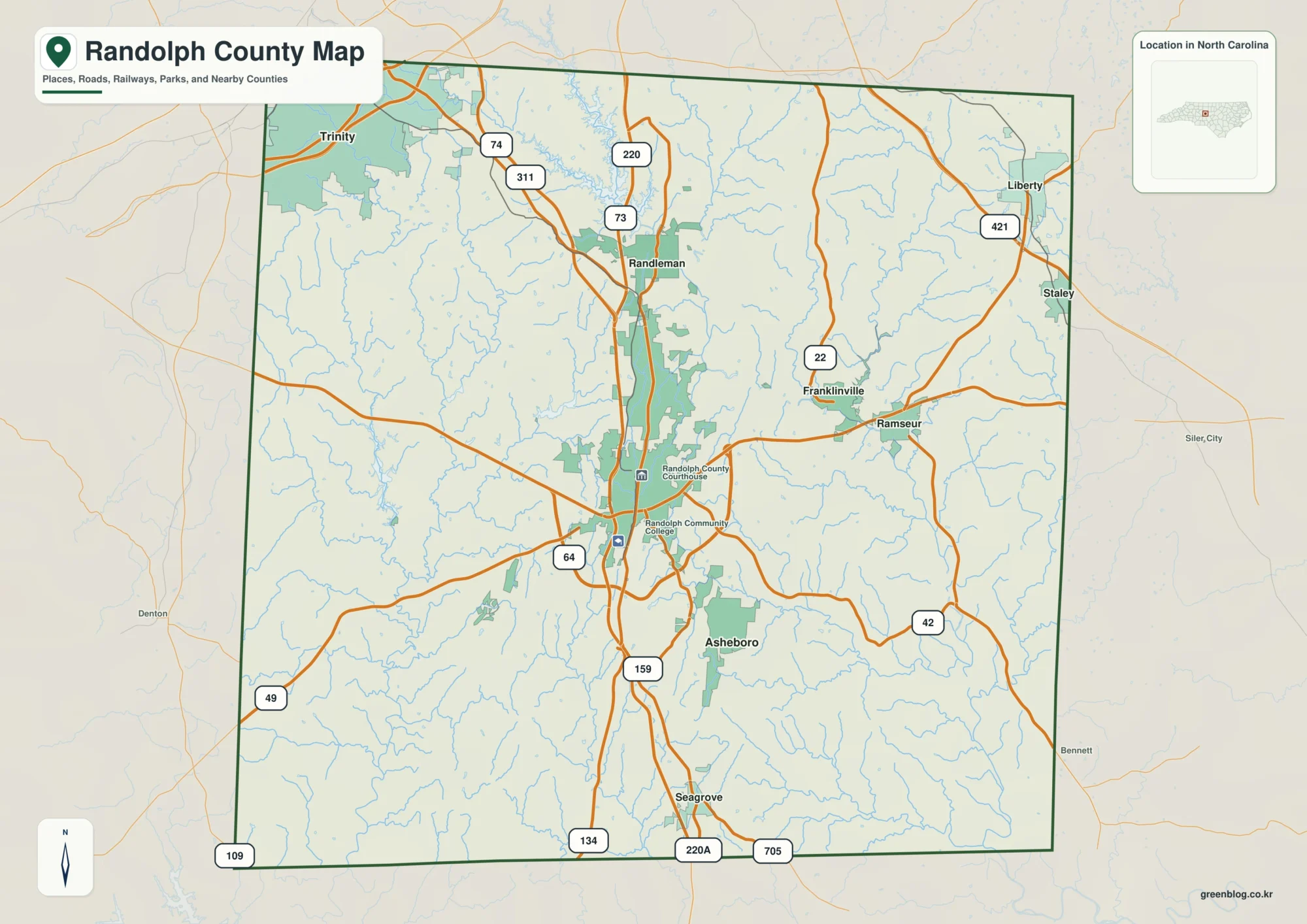
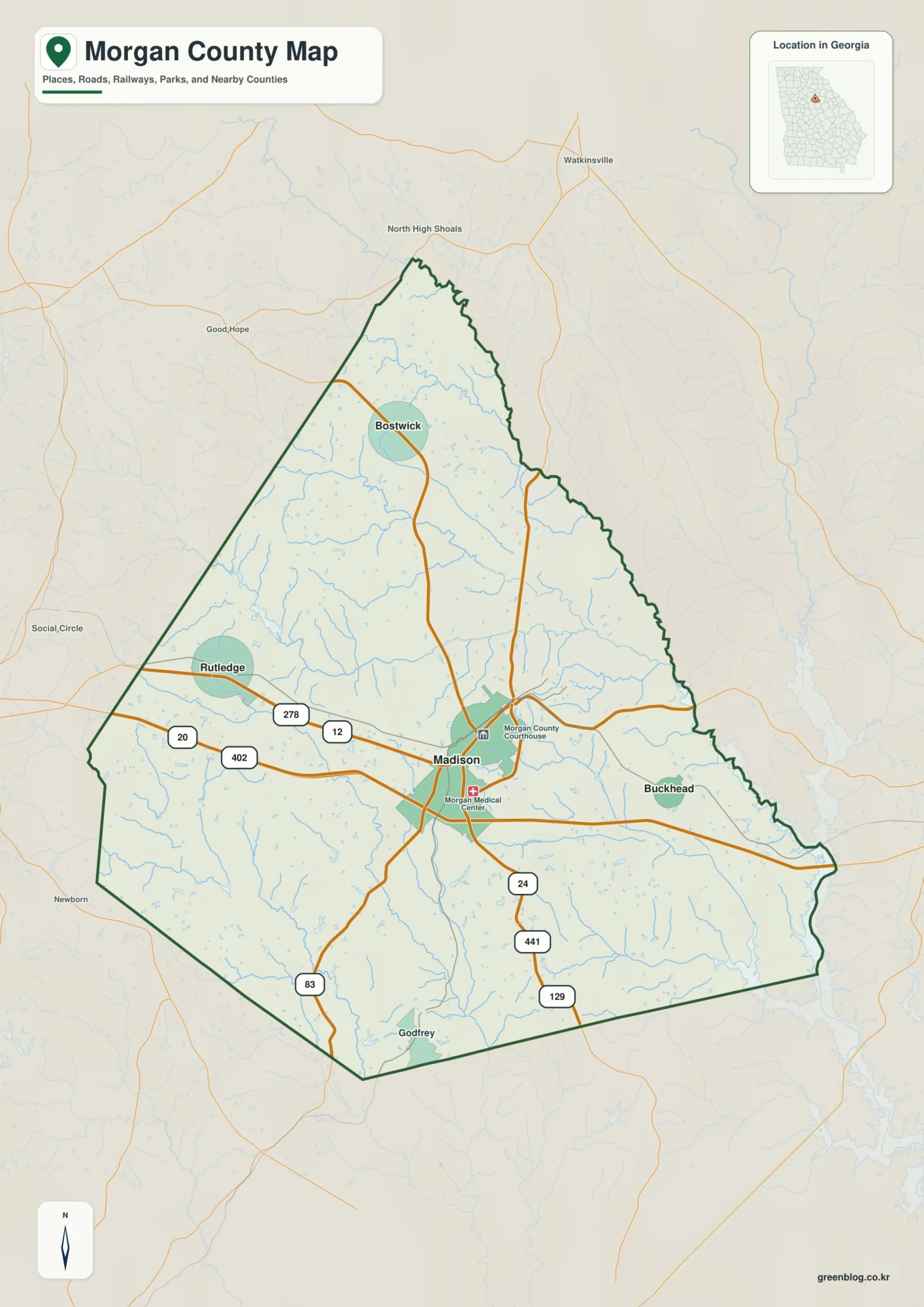
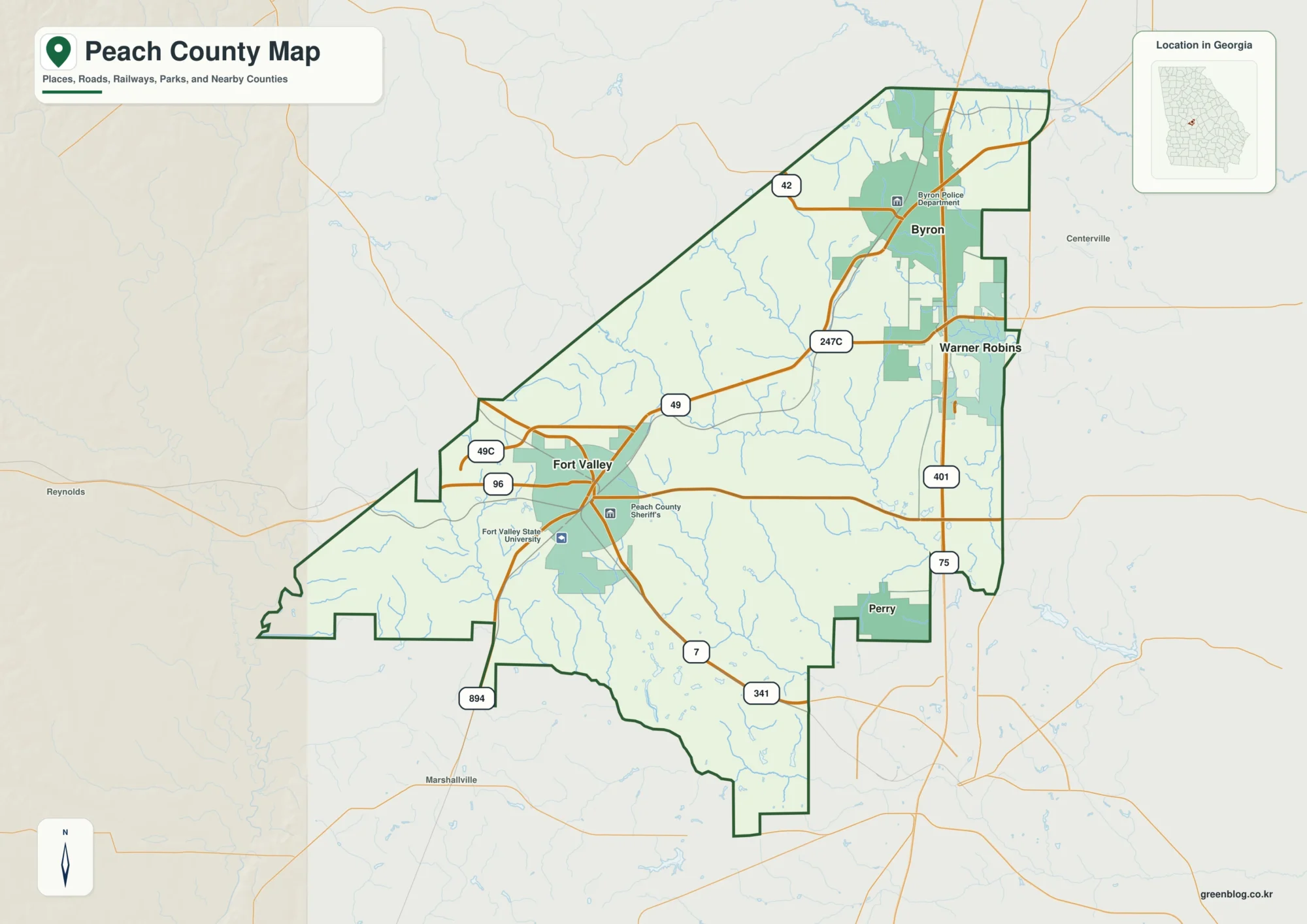
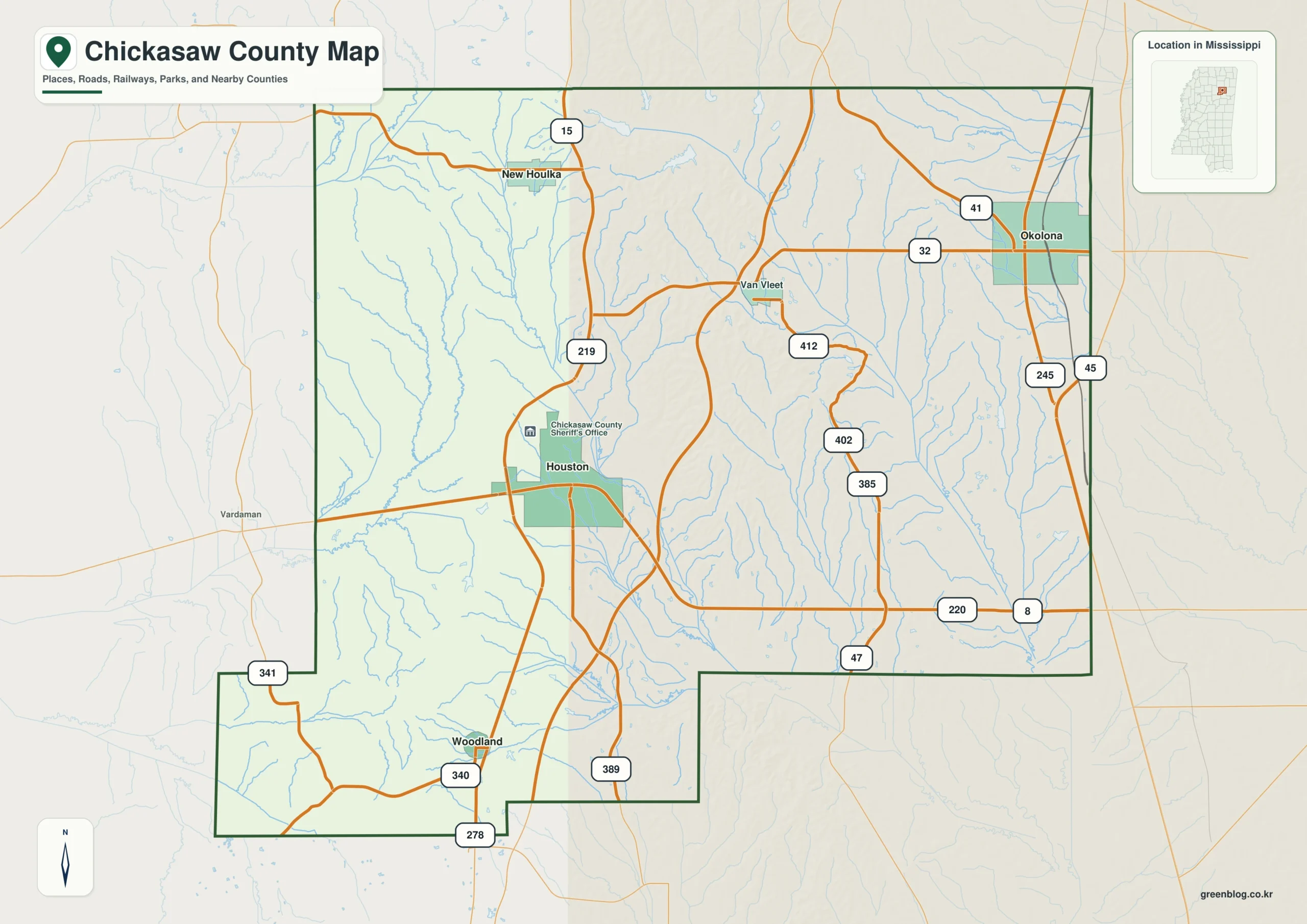
The Chickasaw County Mississippi map connects two county seats—Houston and Okolona—across a landscape divided between the Yalobusha and Tombigbee basins. Houlka, New Houlka, and Woodland supply intermediate references, while the Natchez Trace corridor adds a diagonal regional route.
Chickasaw County Mississippi map download
The WebP preview is optimized for the page, while the button preserves the original high-resolution JPG for printing and reuse.
- File: County reference map
- Format: JPG
- Print layout: A3
Quick Facts
- State and identifier: Mississippi, Chickasaw County; FIPS 28017
- County seat: Houston and Okolona
- Selected map labels: Houston, Okolona, Houlka, Woodland, New Houlka
- 2020 census population: 17,106
- July 2025 population estimate: 16,730
- 2025 Gazetteer area: 501.782 sq mi land and 2.464 sq mi water
- 2020 land-area density: 34.1 residents per sq mi
- Primary route references: US 45 Alternate, MS 8, MS 15, MS 32, and Natchez Trace Parkway
- Landscape references: Yalobusha and Tombigbee river basins, Bynum Mounds, and Natchez Trace corridor
The decennial count and the July 2025 estimate represent different reference dates. Land and water values come from the 2025 Gazetteer. The density of 34.1 residents per square mile uses the 2020 population and land area; it does not imply an even distribution among towns, farms, forests, or floodplain.
Chickasaw County Mississippi map: What It Shows
Houston anchors the western road network near MS 8 and MS 15. Okolona lies farther east along US 45 Alternate. Houlka and New Houlka clarify the northern interior, while Woodland provides a southwestern point. The map treats both seats as equal administrative references rather than ranking one above the other.
County Layout and Location
Drainage divides are subtle but important: western waters connect toward the Yalobusha system, and eastern waters toward the Tombigbee. Numerous creeks and small lakes interrupt a simple grid. The Natchez Trace Parkway crosses that pattern as a distinct historic and scenic corridor.
Local Context: Two Seats Between River Basins
The county was established in 1836 on former Chickasaw land. Bynum Mounds near Houston records a much older Indigenous presence, while nineteenth-century rail development shifted commercial activity toward Okolona. Those layers help explain why the county retains two important centers.
Ways to Use This Map
- Distinguish Houston’s western network from Okolona’s eastern corridor
- Relate the two drainage basins to county settlement
- Locate Bynum Mounds and the Natchez Trace in a history project
Frequently Asked Questions
Which city is the Chickasaw County seat: Houston or Okolona?
Both are county seats. Houston anchors the west and Okolona the east, so neither label should be treated as an error or secondary note.
What does Yalobusha add between Houston, Okolona, and the boundary with Pontotoc?
Houston and Okolona locate communities, whereas Yalobusha explains terrain or drainage before the map reaches the Pontotoc boundary.
Sources
- U.S. Census Bureau QuickFacts
- U.S. Census Bureau Gazetteer Files
- Mississippi Encyclopedia: Chickasaw County
- Mississippi Department of Transportation official highway map
Related County Maps
Green Map creates custom-edited map images using open geographic data sources such as geoBoundaries, Natural Earth, OpenStreetMap, and government open data.
These maps are edited visual materials, not raw data files, and are provided for education, documents, presentations, and graphic reference.