A county seat in Franklin, the largest city and rail junction in Hearne, a nineteenth-century cotton center in Calvert, and a Polish farming town in Bremond give Robertson County several distinct centers. A Robertson County Texas map also spans two major drainage directions: tributaries flowing west toward the Brazos and eastern waters connected to the Navasota River and Lake Limestone.
The Census Bureau estimated 17,839 residents on July 1, 2025, 6.5 percent above the 2020 estimate base of 16,755. Growth does not erase the county’s rural pattern; most land remains in farms, ranches, woods, river bottoms, and small communities outside the four principal towns.
Table of Contents
Hearne Became the County’s Transportation Center
Hearne occupies the junction of U.S. Highways 79 and 190, State Highway 6, and historic Missouri Pacific and Southern Pacific routes. Christopher C. Hearne offered right-of-way and townsite land to railroad promoters before the Civil War, and construction later turned the plantation area into a regional shipping point.
Cotton, livestock, petroleum products, manufacturing, and agricultural equipment all used the rail and highway network. Hearne grew larger than Franklin even though county government remained elsewhere. The town therefore functions as the county’s commercial and transportation center rather than its seat.
County Government Moved Four Times
Robertson County was created by the Republic of Texas in 1837 and named for empresario Sterling C. Robertson. Old Franklin first served as county seat, followed by Wheelock and Owensville. Political and transportation changes moved the government to Calvert in 1870.
Calvert prospered as a rail and cotton center, but voters selected a newly platted Franklin in 1879. The modern seat grew around the courthouse and public services. This sequence left historic townsites across the county rather than one uninterrupted administrative center.
Cotton and Railroads Built Calvert and Bremond
Calvert became one of the Middle Brazos cotton trade’s best-known towns and advertised an enormous cotton gin in 1871. Its rail connection, hotels, stores, banks, and processing businesses served plantations and smaller farms across the western prairie.
Bremond developed farther north at a railway and highway junction. Polish immigrants arriving in the 1870s formed a durable Catholic community and expanded cotton farming. State Highway 14 now links the town with Bremond’s rural northern district and the Brazos side of the county.
Two River Systems Organize the Landscape
The western side drains through Walnut, Mud, Sandy, and other creeks toward the Little Brazos and Brazos rivers. Floodplain soils supported cotton and corn, but repeated floods affected farms, roads, and early rail lines. The Brazos corridor remains a distinct lowland environment.
The eastern side belongs to the Navasota River basin. Lake Limestone, impounded on the Navasota, reaches Robertson, Leon, and Limestone counties and supports fishing and recreation. Between the two river systems, Blackland Prairie grades into Post Oak Savannah.
Agriculture Shifted After the Cotton Era
Cotton once dominated the county’s economy and settlement pattern. Mechanization, soil change, market shifts, and farm consolidation reduced labor demand and weakened many small communities. Cattle, hay, grain, mixed farming, forestry, and service employment became more important.
Lignite and clay deposits were also present, while Hearne retained manufacturing and distribution functions. Current land use varies from row crops and pasture to riparian forest and lake shoreline, so no single agricultural label describes the entire county.
County Orientation Table
| Place or feature | Geographic role |
|---|---|
| Franklin | County seat and public-service center |
| Hearne | Largest city, rail junction, and commercial center |
| Calvert | Historic cotton town and former county seat |
| Bremond | Northern rail town with Polish farming heritage |
| Brazos system | Western floodplain and tributary drainage |
| Navasota system | Eastern drainage and Lake Limestone corridor |
Color Map
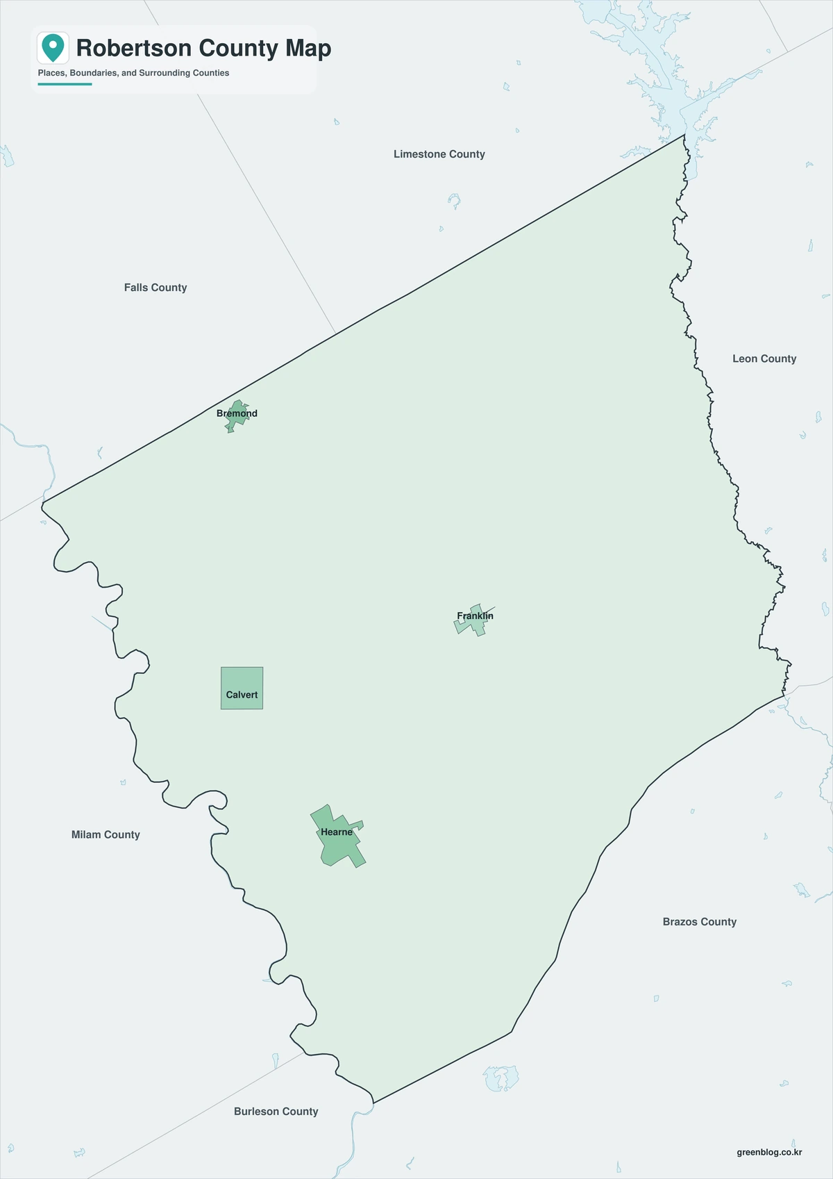
The color map separates Robertson County from Falls, Limestone, Leon, Madison, Brazos, Burleson, and Milam counties. Hearne marks the southwestern rail and highway junction, while Franklin anchors the interior seat of government. Calvert and Bremond align along the western and northwestern corridor, and the Navasota River–Lake Limestone side provides an eastern water reference.
Black-and-White Map
Color fills are removed, but selected labels and county lines remain. Mumford and Hearne can be compared in the south and southwest, while Franklin remains visible near the center. The version is useful for reports, archival comparisons, and low-ink printing.
Outline Map
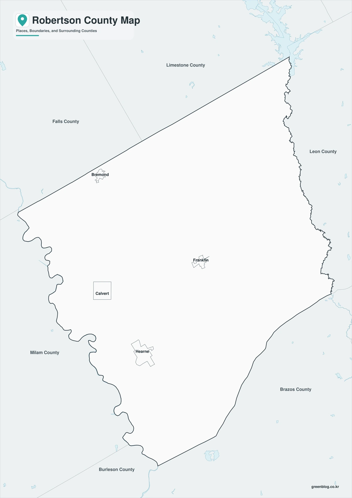
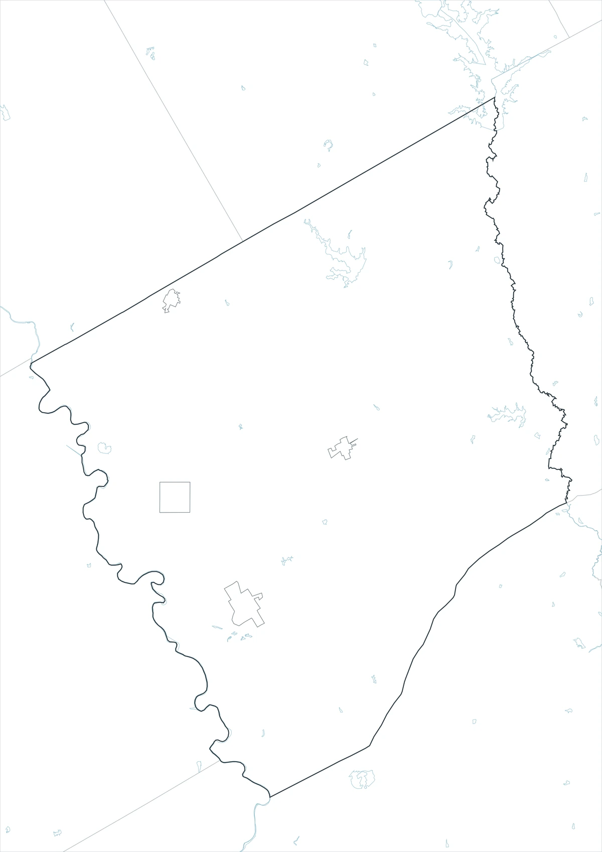
The outline version removes labels and colored areas, retaining Robertson County and the surrounding county framework. Users can add Calvert and Wheelock, trace the Brazos and Navasota systems, or mark U.S. 79, State Highway 6, and historic rail corridors. It provides a clean base for county-seat, cotton, railroad, watershed, or land-use projects.
Download the Printable County Maps
The Robertson County Texas map set includes labeled color and black-and-white maps plus an unlabeled outline base. Each JPG uses an A3 layout for printing, presentations, classroom assignments, and digital reference.
County Map File Information
This download includes three A3 JPG versions of the Robertson County map. The labeled maps use selected place names for readability, while the outline version contains boundary lines without labels or color fills.
- Included Versions: Color, Black and White, Outline
- File Type: JPG
- Printable Size: A3 high-resolution layout
- Map Detail: County boundary, selected place boundaries, and surrounding county reference
- Intended Use: Printing, classroom materials, presentations, documents, blog graphics, and custom annotations
Frequently Asked Questions
Why is Hearne larger than the county seat?
Railroad junctions, highways, industry, and regional trade concentrated in Hearne, while Franklin developed primarily around county government and local services.
What happened to Owensville?
Owensville served as county seat before Calvert, but lost population and importance after government and transportation activity shifted to rail towns.
Does the outline map include railroad tracks?
No. It retains the county framework only. Historic and active railroad routes must be added from transportation or archival sources.
Sources and Further Reading
The Handbook of Texas entry for Hearne documents its plantation origins, rail development, highways, industry, and regional trade role.
Texas Parks and Wildlife Department provides Lake Limestone location and recreation information within the Navasota River system.
U.S. Census Bureau QuickFacts provides the 2020 estimate base, 2025 population estimate, and percentage change.
Regional Information
Continent: North America
Country: United States
State: Texas
County: Robertson County
Location in State: East-central Texas at the northern Brazos Valley
Adjacent Counties: Limestone County, Leon County, Madison County, Brazos County, Burleson County, Milam County, Falls County
Major Places: Franklin, Hearne, Calvert, Bremond, Wheelock, Mumford, New Baden
Geographic Features: Brazos River, Little Brazos River, Navasota River, Walnut Creek, Mud Creek, Sandy Creek, Lake Limestone
Related Maps
- Schleicher County Texas map|Eldorado, Three Watersheds, Ranching, and Wind Energy
- Sherman County Texas map|Stratford, Texhoma, and the High Plains Border
- Ward County Texas map|Monahans, Barstow, and Monahans Sandhills
- Wood County Texas map|Quitman, Mineola, Winnsboro, and Lake Fork
- Wichita County Texas map|Wichita Falls, Burkburnett, and the Red River
Green Map creates custom-edited map images using open geographic data sources such as geoBoundaries, Natural Earth, OpenStreetMap, and government open data.
These maps are edited visual materials, not raw data files, and are provided for education, documents, presentations, and graphic reference.