The Uvalde County Texas map covers Southwest Texas with Uvalde, Sabinal, Knippa, Utopia, Concan, the Nueces River, Frio River, Dry Frio River, limestone hills, ranches, and irrigated farmland.
The U.S. Census Bureau estimated 24,963 residents on July 1, 2025, a 1.6% increase from the April 2020 estimates base. Uvalde is the county seat and principal service center.
Table of Contents
Map Coverage and Three A3 Versions
The download includes color, black-and-white, and outline maps. The labeled versions locate selected cities, communities, rivers, limestone hills, agricultural land, and rural areas.
This Uvalde County Texas map focuses on the county boundary and its relationship to Real, Kerr, Bandera, Medina, Frio, Zavala, Maverick, Kinney, and Edwards counties. It is not a road atlas, flood map, river-navigation chart, irrigation survey, or parcel map.
| Item | Verified Detail |
|---|---|
| Location | Southwest Texas |
| County Seat | Uvalde |
| 2025 Population Estimate | 24,963 |
| Major Places | Uvalde, Sabinal, Knippa, Utopia, and Concan |
| Major Rivers | Nueces, Frio, Dry Frio, Sabinal, and Leona rivers |
| Major Landforms | Balcones Escarpment, southern Edwards Plateau, limestone hills, and plains |
| Regional Character | Agriculture, ranching, river recreation, water resources, hunting, and rural settlement |
Uvalde and County Government
Uvalde is the county seat and contains the courthouse, principal county offices, schools, healthcare, a regional college, and local commerce.
U.S. Routes 90 and 83 connect the city with San Antonio, Del Rio, and South Texas communities.
Sabinal and Knippa
Sabinal and Knippa are eastern agricultural communities along U.S. Route 90. The Sabinal and Leona river systems, irrigated fields, and ranches shape the surrounding landscape.
Farm roads, irrigation facilities, and private-property boundaries require current official records.
Utopia, Concan, and the Frio River
Utopia and Concan are northern hill-country recreation communities. The Frio River rises in Real County and flows southeast through Uvalde County.
Swimming, tubing, camping, and fishing are popular, but water level and current can change rapidly after rainfall.
Nueces River and the Balcones Escarpment
The Nueces River leaves the Balcones Escarpment in northern Uvalde County and enters the plains. Texas Parks and Wildlife describes the upper river as a clear, spring-fed and scenic waterway.
Current weather, river level, access, and landownership information should be used for river travel and flood decisions.
Agriculture, Ranching, and Wildlife
Irrigated agriculture, ranching, and rural housing are widespread across the central and southern plains. Limestone hills and brushland support white-tailed deer, turkey, and many bird species.
Most hunting and wildlife-viewing areas are private and require landowner permission and current state regulations.
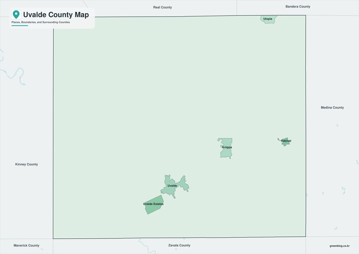
Color Map
The color version separates Uvalde County from neighboring counties and helps show Uvalde, Sabinal, Knippa, Utopia, Concan, rivers, hills, and farmland.
Black-and-White Map
The black-and-white map retains the county outline and selected place names for grayscale printing.
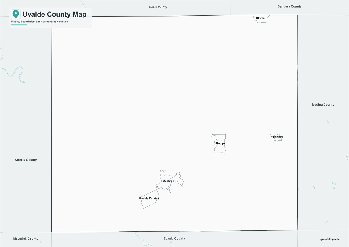
Outline Map
The outline version contains boundary lines without labels or fills, allowing custom notes and place names.
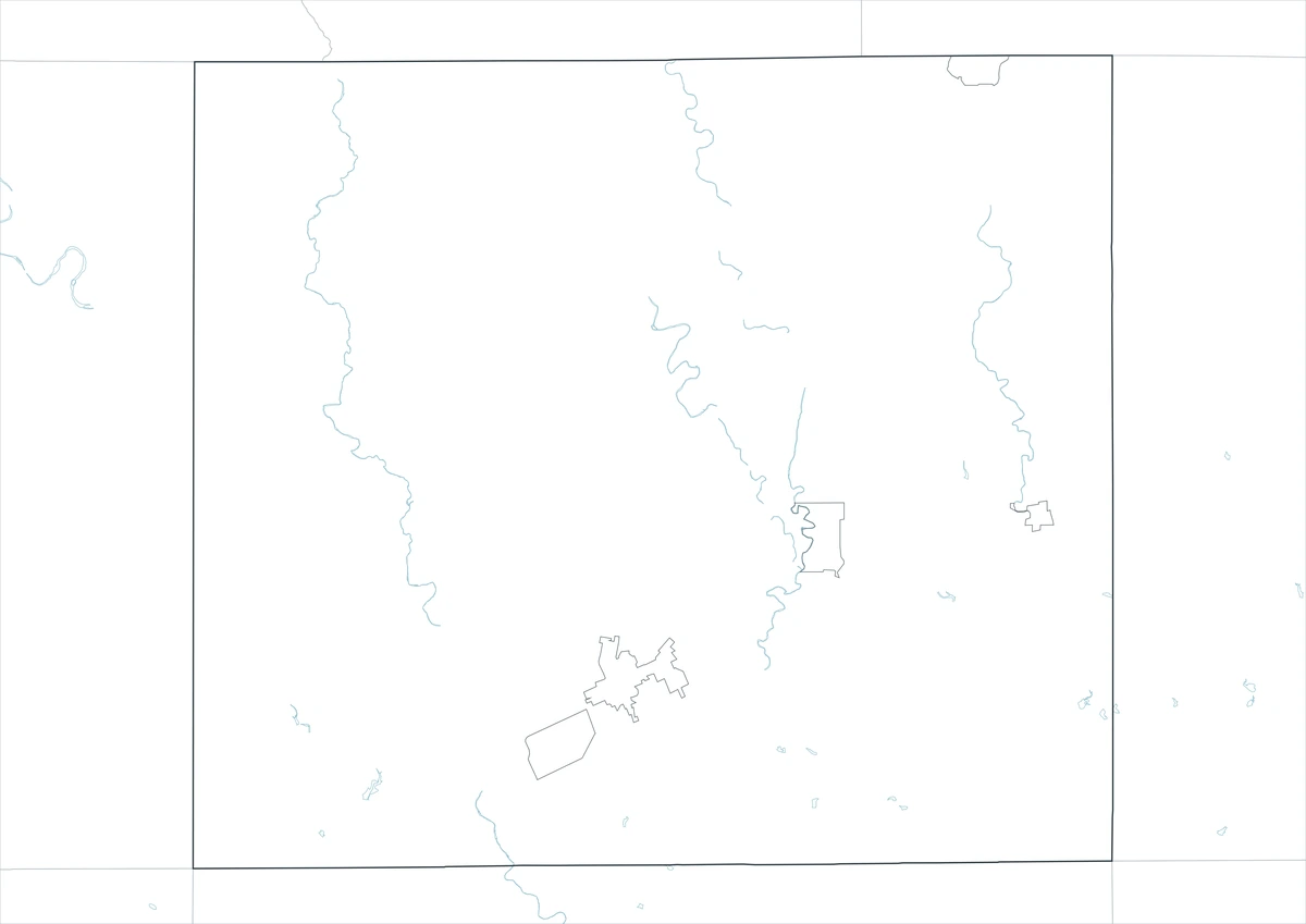
Download the Uvalde County Maps
The Uvalde County Texas map download contains three A3 JPG versions. Current official records should be used for flood, river recreation, traffic, irrigation, legal-boundary, and property decisions.
County Map File Information
This download includes color, black-and-white, and outline maps.
- Included Versions: Color, Black and White, Outline
- File Type: JPG
- Page Size: A3
Frequently Asked Questions
What is the county seat of Uvalde County?
Uvalde is the county seat.
Which places are the main population and recreation centers?
Uvalde, Sabinal, Knippa, Utopia, and Concan are major places.
Which natural features are best known?
The Nueces River, Frio River, Dry Frio River, and Balcones Escarpment are major features.
References
U.S. Census Bureau QuickFacts supplied the 2025 population estimate and growth rate.
Uvalde County’s official website supplied county-seat and government information.
Texas Parks and Wildlife’s Nueces River guide and Frio River guide supplied river and landform information.
Related Maps
- Wilson County Texas map|Floresville, La Vernia, Poth, and Stockdale
- Williamson County Texas map|Georgetown, Round Rock, Cedar Park, and Leander
- Wichita County Texas map|Wichita Falls, Burkburnett, and the Red River
- Washington County Texas map|Brenham, Burton, and Lake Somerville
- Zavala County Texas map|Crystal City, La Pryor, Batesville, and the Nueces River
Green Map creates custom-edited map images using open geographic data sources such as geoBoundaries, Natural Earth, OpenStreetMap, and government open data.
These maps are edited visual materials, not raw data files, and are provided for education, documents, presentations, and graphic reference.