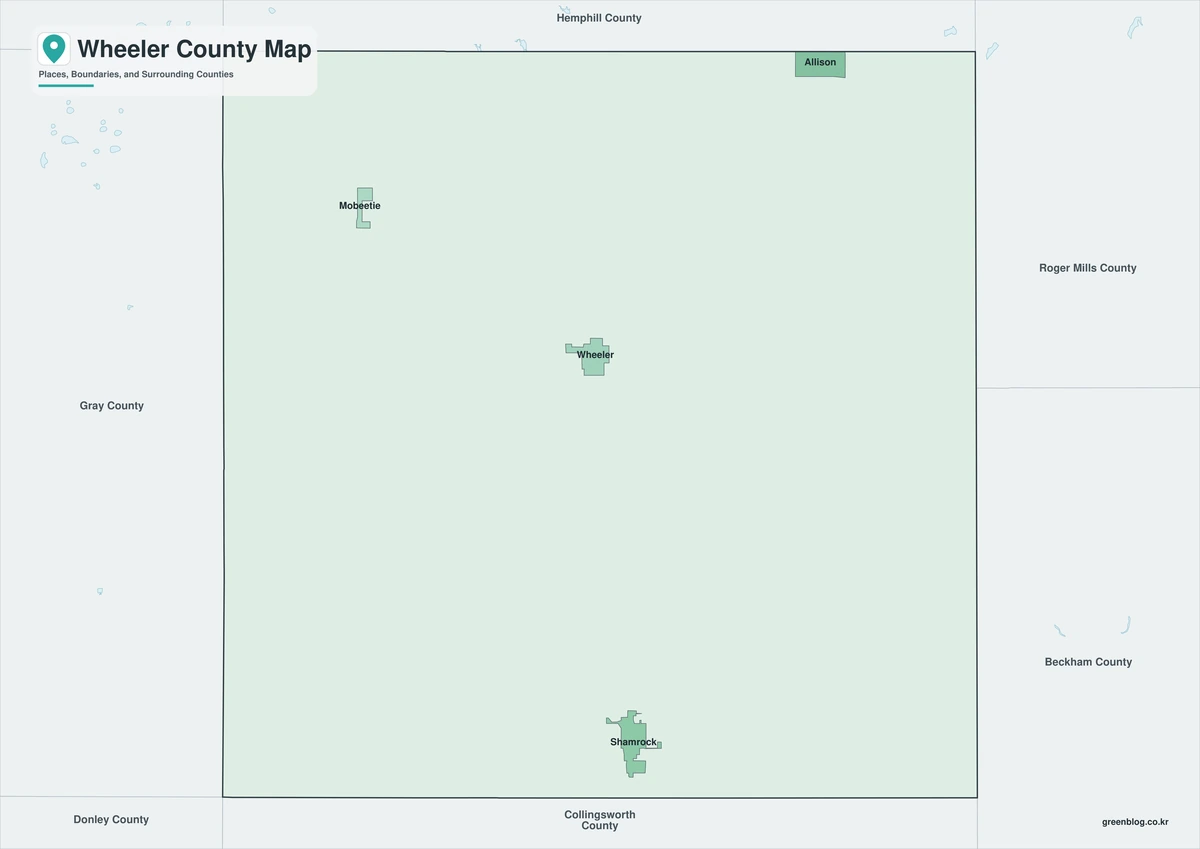
The Wheeler County Texas map covers the eastern Texas Panhandle with Wheeler, Shamrock, Mobeetie, the North Fork Red River, Sweetwater Creek, farms, ranches, shortgrass prairie, and oil and natural-gas areas.
The U.S. Census Bureau estimated 4,773 residents on July 1, 2025. Wheeler is the county seat, while Wheeler and Shamrock contain much of the county’s population and services.
Table of Contents
Map Coverage and Three A3 Versions
The download includes color, black-and-white, and outline maps. The labeled versions locate selected cities, rural communities, streams, prairie, agricultural land, and broad energy areas.
This Wheeler County Texas map focuses on the county boundary and its relationship to Hemphill, Gray, and Collingsworth counties and Beckham and Roger Mills counties in Oklahoma. It is not a road atlas, flood map, well map, pipeline map, ranch survey, or parcel map.
| Item | Verified Detail |
|---|---|
| Location | Eastern Texas Panhandle along Oklahoma |
| County Seat | Wheeler |
| 2025 Population Estimate | 4,773 |
| Major Cities | Wheeler, Shamrock, and Mobeetie |
| Other Communities | Allison, Briscoe, and Kelton |
| Natural Features | North Fork Red River, Sweetwater Creek, rolling plains, and shortgrass prairie |
| Regional Character | Agriculture, ranching, oil and natural gas, highway travel, and rural settlement |
Wheeler and County Government
Wheeler is the county seat and contains the courthouse, principal county offices, schools, healthcare, and local commerce.
U.S. Route 83 and State Highway 152 intersect in town, connecting north-south Great Plains travel with routes toward Amarillo and Oklahoma.
Shamrock and Route 66
Shamrock is a major southeastern city along Interstate 40 and historic Route 66. The U-Drop Inn, traveler services, commerce, and highway access are prominent local features.
The corridor continues east toward Oklahoma and west toward Amarillo.
Mobeetie and Pioneer History
Mobeetie is a small western city associated with early Panhandle settlement and Fort Elliott. It once served as the county seat and is now known for historic sites and rural heritage.
Current operating hours and event information should be checked before visiting historic facilities.
North Fork Red River and Sweetwater Creek
The North Fork of the Red River and Sweetwater Creek are the county’s major streams. Floodplain, ranch land, cropland, and wildlife habitat occur along their corridors.
Normally shallow or dry channels can rise rapidly after heavy rain, so current weather and road information is required for low-water crossings and unpaved roads.
Agriculture, Ranching, and Energy
The county’s broad plains support cattle ranching and wheat, cotton, and forage crops. Oil and natural-gas production also influences land use and the local economy.
Wells, pipelines, work roads, and private-property boundaries require current industry and property records.
Color Map
The color version separates Wheeler County from neighboring areas and helps show Wheeler, Shamrock, Mobeetie, streams, prairie, farms, ranches, and energy areas.
Black-and-White Map
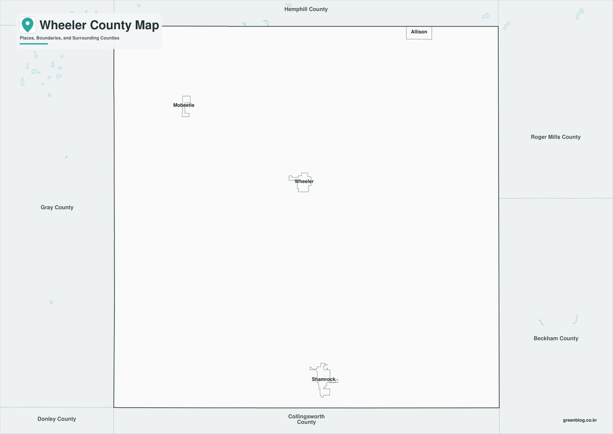
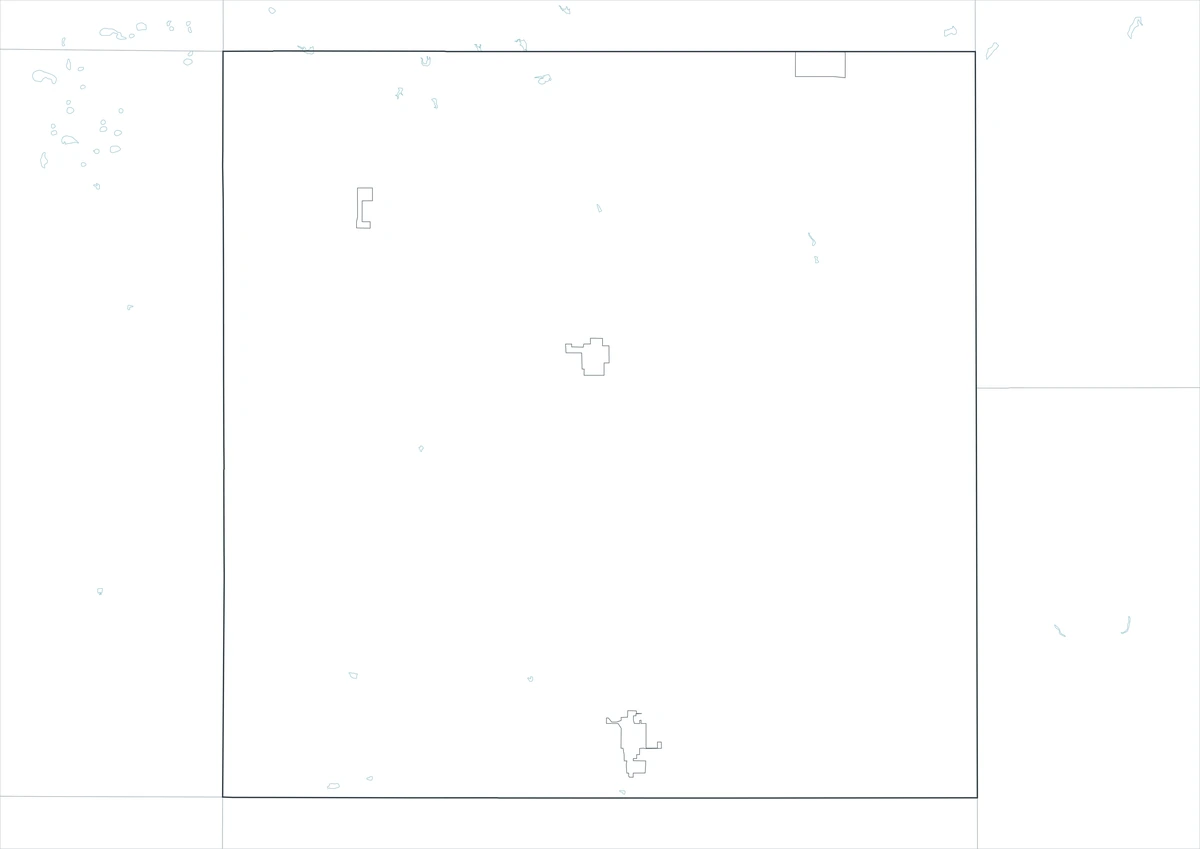
The black-and-white map retains the county outline and selected place names for grayscale printing.
Outline Map
The outline version contains boundary lines without labels or fills, allowing custom notes and place names.
Download the Wheeler County Maps
The Wheeler County Texas map download contains three A3 JPG versions. Current official records should be used for legal, traffic, flood, oilfield, gas-field, pipeline, ranch, and property decisions.
County Map File Information
This download includes color, black-and-white, and outline maps.
- Included Versions: Color, Black and White, Outline
- File Type: JPG
- Page Size: A3
Frequently Asked Questions
What is the county seat of Wheeler County?
Wheeler is the county seat.
Which cities are the main population centers?
Wheeler, Shamrock, and Mobeetie are the principal cities.
Which natural features are best known?
The North Fork Red River, Sweetwater Creek, rolling plains, and shortgrass prairie are major features.
References
U.S. Census Bureau QuickFacts supplied the 2025 population estimate.
Wheeler County’s official website supplied county-government and regional industry information.
Texas State Historical Association’s Wheeler County entry supplied stream and regional-geography information.
Related Maps
- Wood County Texas map|Quitman, Mineola, Winnsboro, and Lake Fork
- Wharton County Texas map|Wharton, El Campo, and the Colorado River
- Zavala County Texas map|Crystal City, La Pryor, Batesville, and the Nueces River
- Winkler County Texas map|Kermit, Wink, and the Permian Basin
- Free Printable Texas Map Set for Education, Presentations and Editing
Green Map creates custom-edited map images using open geographic data sources such as geoBoundaries, Natural Earth, OpenStreetMap, and government open data.
These maps are edited visual materials, not raw data files, and are provided for education, documents, presentations, and graphic reference.