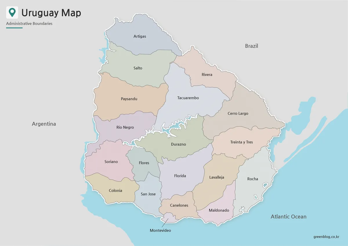
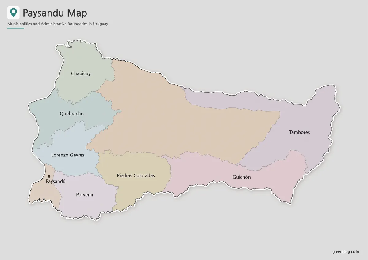
A Florida Department Map helps explain a part of Uruguay that is difficult to understand from place names alone. Florida is an inland department in the south-central area of the country, positioned between the more populated southern region and the broad rural interior. Its capital, Florida, lies near the central part of the department, while Sarandí Grande is farther northwest and Fray Marcos and Casupá are grouped toward the southeast.
The department covers approximately 10,417 square kilometers. Population centers are widely separated, and much of the land between them is rural. Agriculture, livestock farming, and dairy production are closely connected with the local landscape, so the regional structure looks very different from a compact urban map. A labeled map makes it easier to compare the capital with the smaller municipalities and to understand how the department connects with nearby parts of Uruguay.
This downloadable collection includes color, black and white, and outline versions. The maps follow an A3 layout and are intended for classroom handouts, presentation slides, printed reports, blog graphics, regional comparison projects, and infographic editing. The Florida Department Map also includes the surrounding departments, which gives readers more context than a single isolated boundary would provide.
Table of Contents
Where Florida Department Is Located
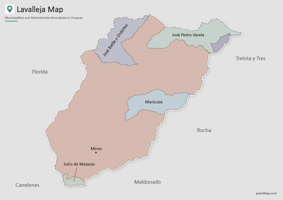
Florida Department sits in the inland south-central section of Uruguay. Durazno borders it to the north, while a shorter boundary with Treinta y Tres appears in the northeast. Lavalleja extends along the eastern and southeastern side.
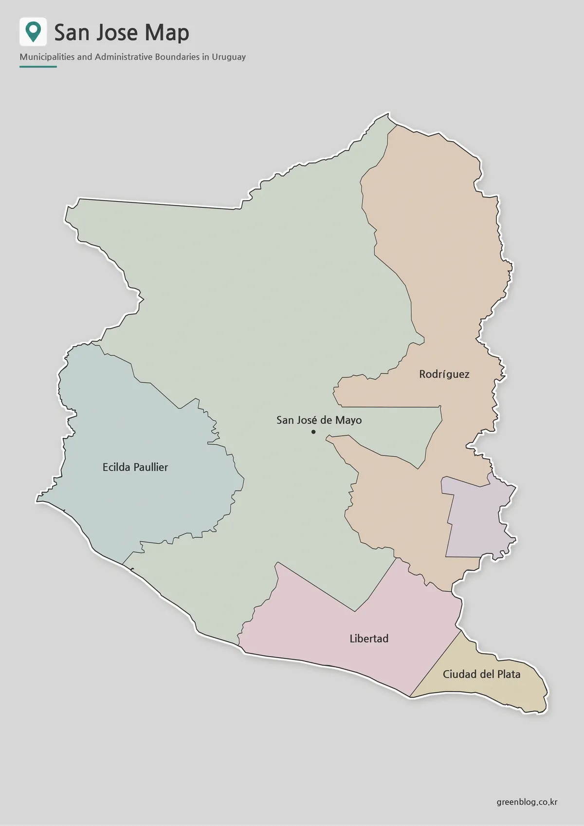
Canelones lies to the south, San José to the southwest, and Flores to the west and northwest. This arrangement places Florida between central Uruguay and the wider metropolitan influence of the south.
The neighboring departments are:
- North: Durazno Department
- Northeast: Treinta y Tres Department
- East and southeast: Lavalleja Department
- South: Canelones Department
- Southwest: San José Department
- West and northwest: Flores Department
Lavalleja should not be understood as a neighbor found only at the southeastern tip. Its shared border continues along a larger section of Florida’s eastern side, which is why the label appears on the right side of the regional layout.
What the Florida Department Map Shows
The map identifies three municipalities: Sarandí Grande, Fray Marcos, and Casupá. The departmental capital, Florida, is marked as a city location rather than as a separate municipality boundary.
Florida
Florida is the departmental capital and the main administrative center. It appears near the middle of the map and provides a useful reference point for understanding the location of the other communities.
Sarandí Grande lies northwest of the capital. Fray Marcos and Casupá are both southeast of Florida, with Fray Marcos positioned west of Casupá.
Sarandí Grande
Sarandí Grande is located in the northwestern part of the department, near the direction of Flores. Its separation from the southeastern municipalities is one of the clearest features of the regional layout.
This location is especially useful when preparing transport, farming, population, or rural settlement diagrams because it shows how widely the department’s main communities are distributed.
Fray Marcos
Fray Marcos lies in southeastern Florida Department, close to the directions of Canelones and Lavalleja. It appears immediately west of Casupá.
Because these two municipalities are relatively close together, a labeled map is more useful than a written list when readers need to distinguish their positions.
Casupá
Casupá occupies the eastern side of the southeastern municipal area. It is the easternmost of the three municipalities and is closely associated with the Lavalleja side of the department.
Its position becomes clearer when the surrounding departmental boundaries are visible, especially on presentation slides or regional comparison sheets.
Color Map for Comparing Municipal Areas
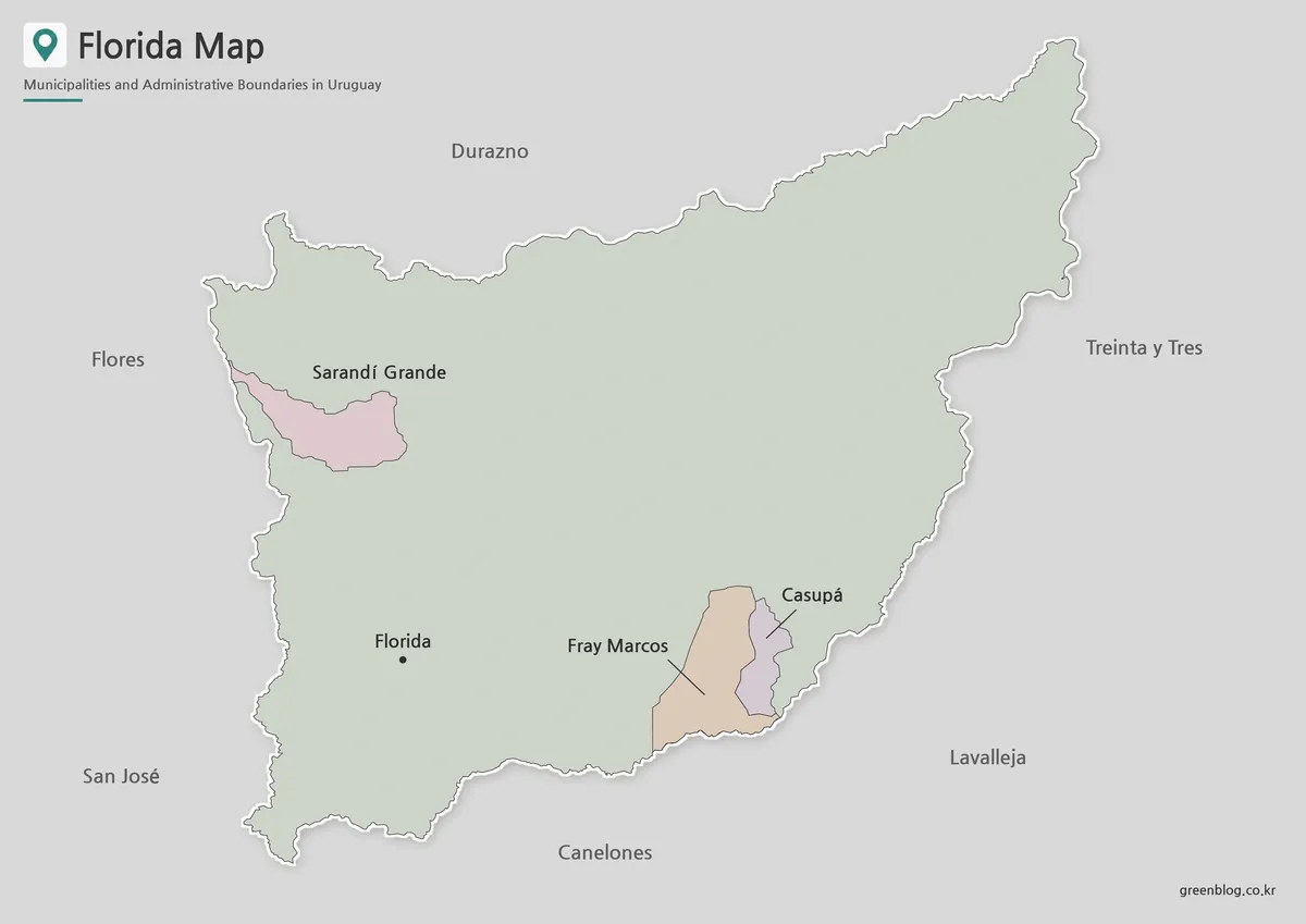
The color Florida Department Map makes the separated municipal areas easier to compare. Sarandí Grande stands alone in the northwest, while Fray Marcos and Casupá form a smaller cluster in the southeast.
Color separation is particularly useful here because most of the department does not fall inside these three municipal areas. Students and presentation viewers can quickly distinguish the broad departmental territory from the more limited municipality boundaries.
This version works well for geography lessons, regional administration projects, blog illustrations, and slides that need clear visual contrast.
Black and White Map for Printing
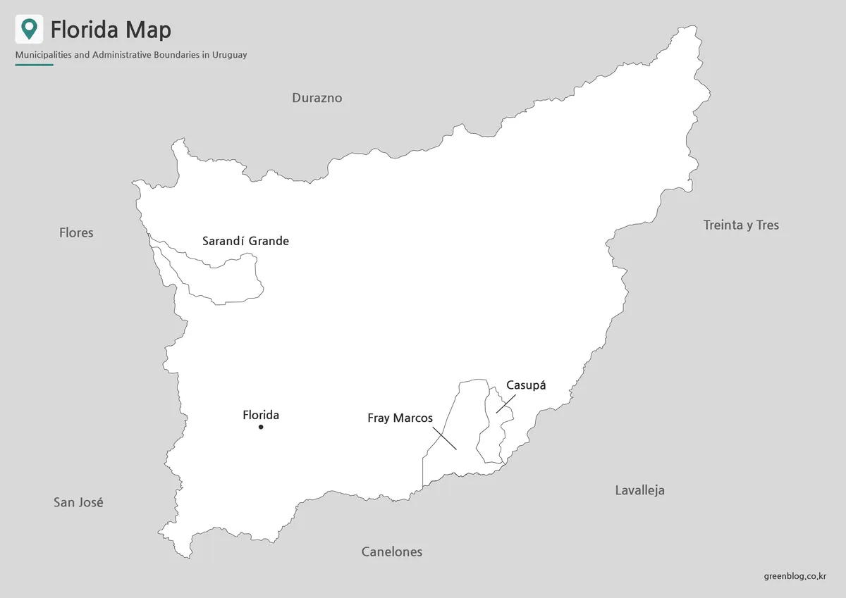
The black and white Florida Department Map places more emphasis on names, boundary lines, and directional relationships. Without multiple colors, the capital and municipality labels remain the main visual focus.
The cleaner layout works well in reports, worksheets, office documents, and classroom materials printed on standard monochrome printers. Neighboring labels also help readers understand the department’s position without constantly referring to a separate national map.
The map was reviewed at the intended A3 layout so that the internal boundaries and local names remain readable when printed at a larger size.
Outline Map for Editing and Worksheets
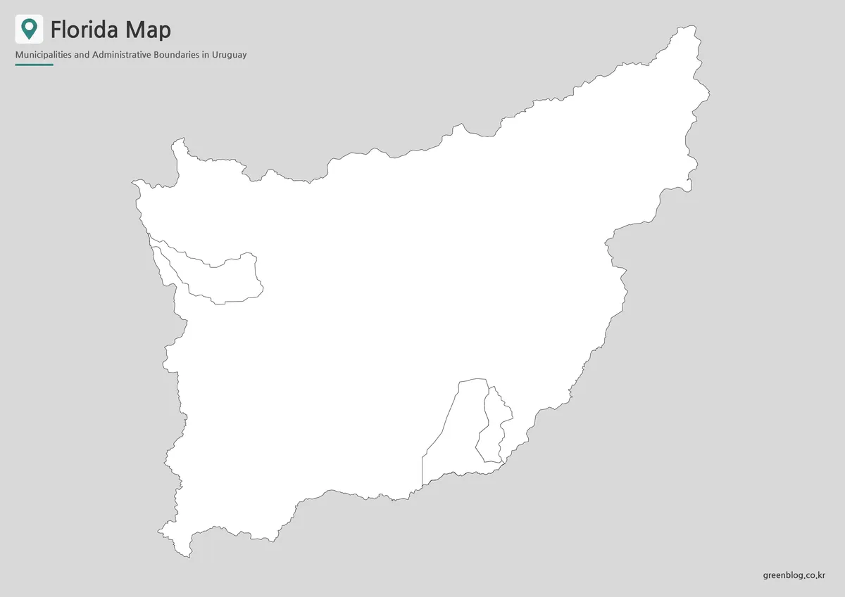
The outline Florida Department Map provides a simple working base for custom projects. Users can add travel routes, city markers, agricultural areas, population information, tourism points, or presentation highlights without competing with a colored background.
Teachers may use it for coloring exercises or location quizzes. Designers can add their own labels and symbols, while bloggers can adapt the boundary lines for infographics or regional comparison graphics.
The simplified style is also useful when the goal is to highlight only one municipality or one neighboring department.
Practical Ways to Use the Map Collection
For classroom use, the three versions can support different stages of a lesson. The labeled map introduces the locations, the color version helps compare areas, and the outline map works as a student activity sheet.
In presentations, the full departmental map can introduce Florida’s location before a second slide focuses on the capital or the southeastern municipalities. The surrounding departments are especially helpful when explaining connections with Canelones, Durazno, Lavalleja, and the rest of central Uruguay.
The collection can also be inserted into travel articles, regional reports, agricultural presentations, local history projects, and visual guides to Uruguay’s administrative divisions.
Frequently Asked Questions
What does the Florida Department Map include?
It includes the departmental boundary, the locations of Florida, Sarandí Grande, Fray Marcos, and Casupá, and the six neighboring departments.
Is Florida city a municipality on this map?
Florida is shown as the departmental capital. The municipality boundaries included are Sarandí Grande, Fray Marcos, and Casupá.
Can the maps be printed at A3 size?
Yes. The files use an A3 layout suitable for larger handouts, posters, and presentation materials.
Which version is best for a worksheet?
The outline version works best for coloring, labeling, quizzes, and custom annotations.
Why are neighboring departments included?
They make it easier to understand Florida’s position within Uruguay and clarify the directions of its shared boundaries.
Download Information
Choose the version that best matches your project. The color map supports quick comparison, the black and white version focuses on labels and printing, and the outline file provides a clean base for editing.
Map File Information
This download includes printable Florida Department map versions for educational use, presentation design, document printing, and editable graphic projects.
- Included Versions: Color map, black and white map, outline map
- Printable Size: A3 layout
- File Type: Image files
- Map Content: Department boundary, municipalities, capital city, and neighboring departments
- Intended Use: Classroom handouts, presentations, blog graphics, infographic editing, worksheets, and printable reference materials
Related Maps
- Uruguay Departments Map
- Flores Department Map
- Durazno Department Map
- Canelones Department Map
- Cerro Largo Department Map
Additional Resources
- Florida Department Official Tourism Guide : Explore local attractions, cultural sites, outdoor activities, tourism services, and current events across Florida Department.
Green Map creates custom-edited map images using open geographic data sources such as geoBoundaries, Natural Earth, OpenStreetMap, and government open data.
These maps are edited visual materials, not raw data files, and are provided for education, documents, presentations, and graphic reference.