A Gifu Prefecture Map is useful for more than simply locating the prefecture in central Japan. Gifu sits in the middle of Honshu and borders several important regions, including Toyama, Ishikawa, Nagano, Aichi, Shiga, and Fukui. Because the prefecture stretches across both mountainous northern areas and more connected southern urban zones, a clear administrative map makes the regional structure much easier to understand.
Gifu Prefecture covers about 10,621 square kilometers and has a population of around 1.9 million people. Its capital is Gifu City, while other well-known places include Takayama, Ogaki, Seki, Kakamigahara, and Gero. The prefecture is often described through two broad regional areas: Mino in the south and Hida in the north. This north-south difference is one reason a visual map is helpful for travel planning, classroom study, regional comparison, and presentation design.
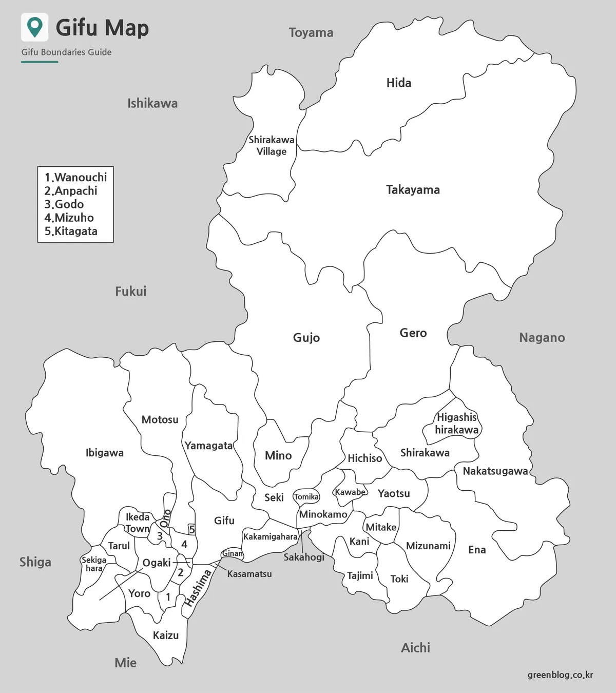
This printable Gifu Prefecture Map collection includes three versions: a color map, a black and white labeled map, and a blank outline map. The files are prepared for high-resolution A3 printing and are suitable for classroom handouts, travel route planning, blog graphics, infographic projects, and editable design work. The color version helps users compare municipalities visually, the black and white version works well in documents, and the outline version gives more freedom for custom labeling or data overlays.
Table of Contents
Gifu Prefecture Map Overview
One of the first things to notice about Gifu is its long vertical shape. Southern Gifu is closer to Aichi and the Nagoya metropolitan area, while northern Gifu includes larger mountain areas around Takayama. For readers unfamiliar with central Japan, this layout can be difficult to explain with text alone.
The map collection was prepared with that regional contrast in mind. Municipal boundaries were arranged clearly, and label placement was adjusted so smaller names would remain readable when enlarged or printed. This makes the Gifu Prefecture Map useful not only as a location reference, but also as a practical visual resource.
Included Map Versions
The download set includes three map styles for different purposes. Each version is intended for a slightly different type of work, so users can choose the format that fits their project.
The color map is best for quick visual comparison. The black and white map is easier to place inside reports, worksheets, and printed documents. The outline map is designed for editing, annotation, and custom graphic projects.
Color Map for Regional Comparison
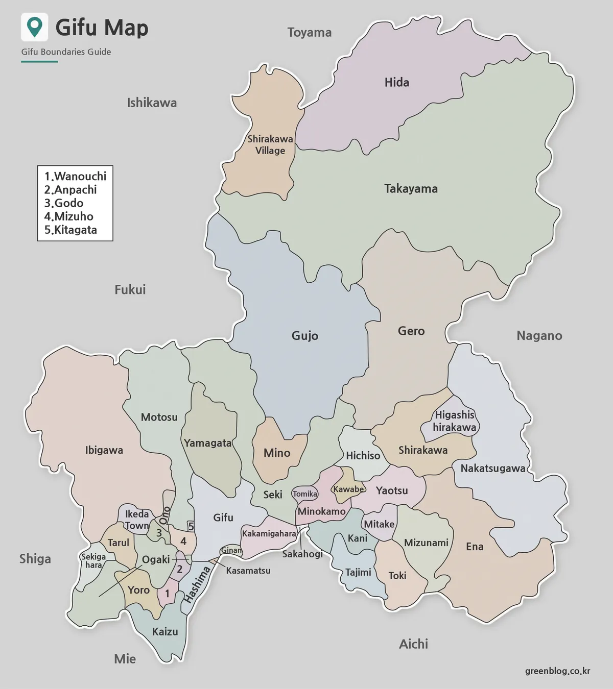
The color version highlights municipal boundaries across Gifu Prefecture. Since southern Gifu has several closely placed administrative areas and northern Gifu includes larger mountain-based municipalities, color separation helps the regional pattern stand out more clearly.
During the map preparation process, nearby colors were adjusted to avoid confusion between neighboring areas. Extra attention was given to Gifu City and surrounding municipalities because that part of the prefecture is often used when explaining the connection toward Aichi and the Nagoya region.
Black and White Printable Version
The black and white Gifu Prefecture Map focuses on labels and boundary lines rather than color. This version works well for classroom printing, handouts, worksheets, and document inserts where strong colors may not be needed.
Labels for major places such as Gifu City, Takayama, Ogaki, Seki, and Gero were kept readable for print use. The line weight was also adjusted so boundaries would not look too heavy when printed in grayscale.
Blank Outline Map for Editing
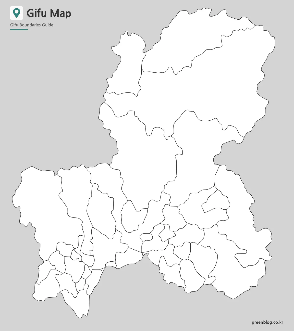
The outline version removes most visual distractions and keeps the municipal boundary structure clear. It is useful when users need to add their own colors, labels, route lines, statistics, or highlighted areas.
This version works especially well for infographic design, presentation slides, educational worksheets, and travel planning graphics. If you need to mark locations such as Takayama, Shirakawa-go, Gero Onsen, or other regional points, the blank layout gives more flexibility than a fully labeled map.
Practical Uses for This Map Collection
Teachers can use the printable Gifu Prefecture Map when explaining Japan’s Chubu region or comparing inland prefectures. Students can use it for geography assignments, regional reports, or study materials. Bloggers and travel writers may find it useful when explaining routes between Gifu City, Takayama, Gero, and nearby prefectures.
The outline map is also helpful for design work. It can serve as a background for travel graphics, regional comparison charts, data visualization, or custom educational materials. For presentation creators, the simple layout makes it easier to add arrows, icons, labels, or highlighted zones without cluttering the slide.
Frequently Asked Questions
What versions are included in the Gifu Prefecture Map download?
The collection includes a color map, a black and white labeled map, and a blank outline map.
Can I print the map in A3 size?
Yes. The files are prepared for high-resolution A3 printing, though print quality may vary depending on your printer settings.
Which version is best for editing?
The outline map is the best choice for editing, custom coloring, labeling, and infographic projects.
Is the black and white map suitable for classroom use?
Yes. The black and white version is designed for worksheets, handouts, and printed educational materials.
Gifu Prefecture Map Download
Download the Gifu Prefecture map collection below. The package includes color, black and white, and outline map versions for printing, presentations, educational materials, and graphic editing.
- File format: JPG / ZIP
- Included maps: Color, black and white, outline
- Print size: A3 high-resolution
The files are provided as a ZIP archive. Extract the archive after downloading to access all map versions.
Additional Resources
- Geospatial Information Authority of Japan – A useful official map service for checking Japanese geographic information and regional map details.
Related Maps
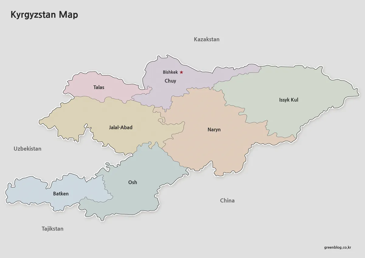
- High-Resolution Aomori Prefecture Map Collection (A3 Printable)
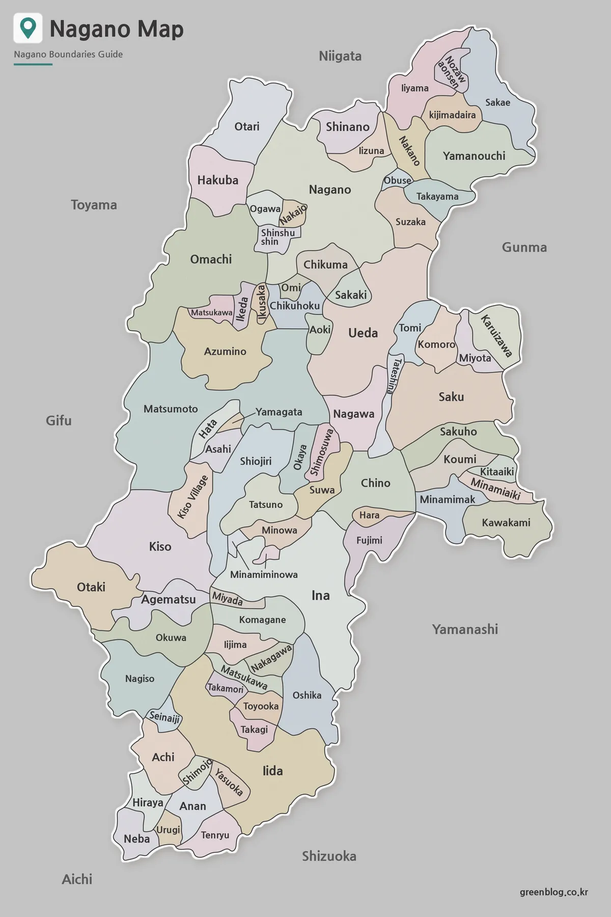
- Nagano Prefecture Map | Printable Administrative Map Collection
- Free Shimane Prefecture Map for Presentations and Classroom Use
- Printable Nara Prefecture Map Collection for Education and Design