Finding a clean and high-resolution Belgium map online is not always easy. Many available images are either too small for printing or filled with unnecessary details that make editing difficult.
This Belgium map collection was designed for practical use. The files include color, black and white, and outline versions prepared for printing, presentations, classroom reference, infographic projects, and graphic editing work.
All maps were created in large A3 resolution to keep borders and labels readable even when printed or enlarged on screen.
Table of Contents
Quick Map Summary
- Included versions: Color map / Black and white map / Outline map
- File formats: JPG / PNG / ZIP
- Resolution: A3 high resolution
- Intended use: Printing, presentations, classroom reference, infographic editing
- Includes: Regional boundaries, labels, neighboring country layout
Belgium is located in Western Europe between France, Germany, Luxembourg, and the Netherlands. Because the country has a relatively compact layout, regional structure and neighboring borders can be shown clearly without overcrowding the map.
General country and regional information can also be found on the Britannica Belgium page.
Map Versions Included
This collection includes three different Belgium map styles.
- Regional color map
- Printable black and white version
- Blank outline map
Each version was designed for different types of projects and visual usage.
The files work well for:
- classroom handouts
- blog graphics
- infographic projects
- presentation slides
- printable study materials
- editable design work
Regional Color Map
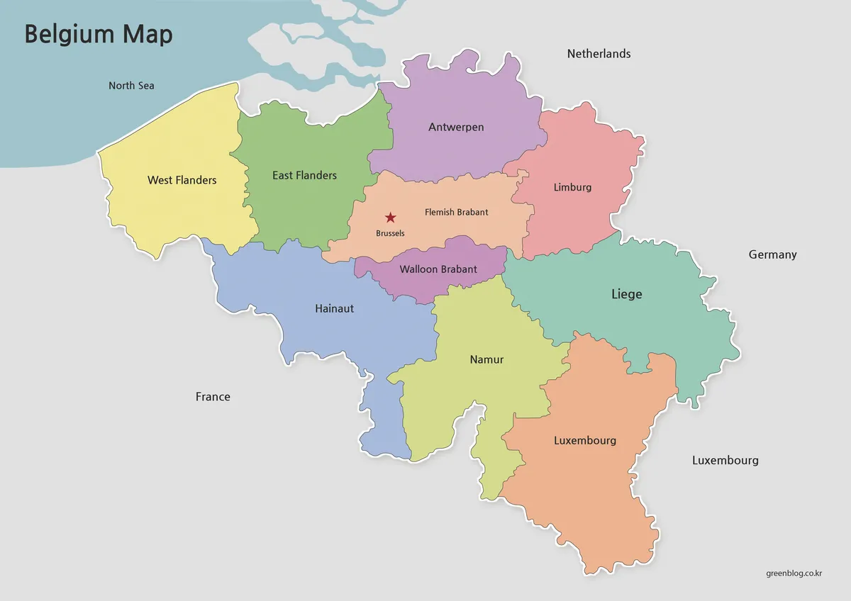
Belgium regional map with color-separated areas and labeled boundaries
The color version was created to make regional divisions easier to recognize at a glance. Different colors were used for major regions such as Flanders, Wallonia, and the Brussels area so the structure remains visually clear even when viewed quickly.
Both English and Korean labels were added to improve readability for international users and educational projects. Major neighboring countries were simplified to keep the focus on Belgium itself.
This version works especially well for:
- educational presentations
- blog visuals
- geography reference pages
- regional comparison graphics
- classroom explanations
The capital city is marked separately to make Brussels easy to identify during presentations or map-based explanations.
Built for Printing and Document Use
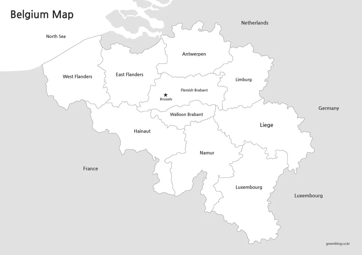
Black and white Belgium map designed for printing and study reference
The black and white version removes color distractions and focuses on clean boundaries and readable labels. This style is useful when printing multiple pages or adding handwritten notes.
Compared to the color version, the simplified layout makes text easier to scan quickly. The clean white background also works well inside documents, worksheets, and presentation materials.
The borders were carefully checked during editing so they remain connected when used in graphic software.
Useful for:
- printable worksheets
- educational materials
- office documents
- annotation work
- grayscale printing
Blank Outline Map for Editing
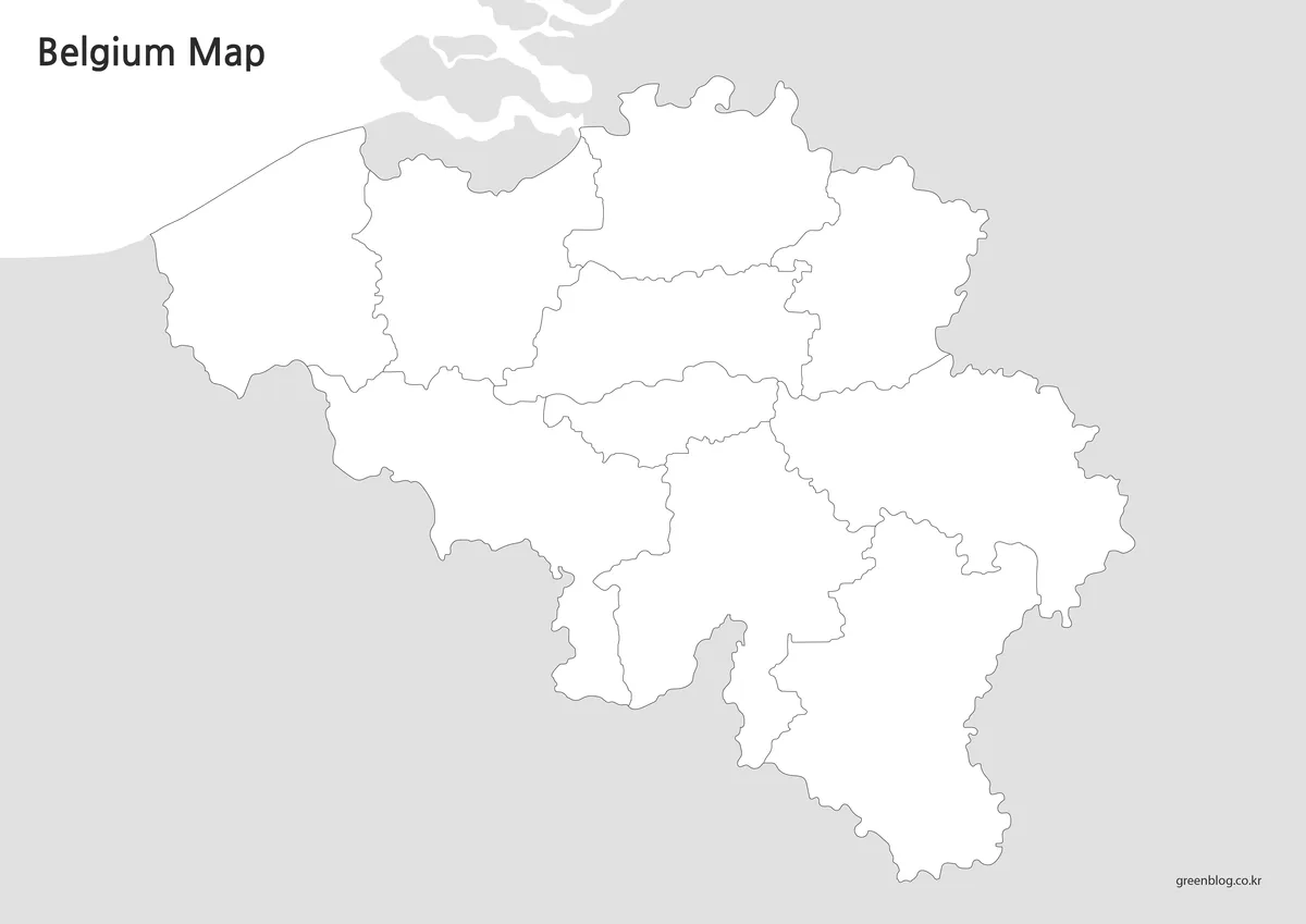
Editable Belgium outline map with blank regional borders
The outline version removes colors and labels completely, leaving only the regional boundaries. This creates a flexible base map for editing and infographic work.
Because the layout is intentionally minimal, additional statistics, labels, travel routes, or custom colors can be added without visual clutter.
This version is often preferred for:
- infographic design
- editable map projects
- classroom assignments
- regional data visualization
- presentation graphics
The outline layout also works well when creating custom learning materials or travel planning visuals.
Belgium Flag and Map Layout
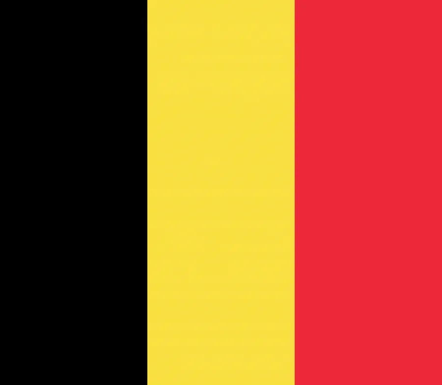
Belgian flag with black, yellow, and red vertical stripes The Belgium flag can be used together with the map collection for classroom reference, country comparison projects, or blog graphics.
Combining the flag and regional map often helps readers connect national identity with geographic structure more easily.
Practical Uses
These Belgium maps were designed for more than simple viewing.
They are commonly used for:
- geography lessons
- educational worksheets
- printable reference pages
- blog illustrations
- infographic slides
- European regional comparison projects
The outline version is especially useful when creating custom visual materials because additional information can be added directly on top of the map.
Frequently Asked Questions
Can I print these maps in large size?
Yes. The files were prepared in high resolution for A3 printing and enlarged screen use.
Which version is best for editing?
The outline version works best for graphic editing, annotations, and infographic projects.
Are neighboring countries included?
Yes. France, Germany, Luxembourg, and the Netherlands are included in simplified form to help show Belgium’s position in Western Europe.
Does the black and white version work well for worksheets?
Yes. The simplified layout and clean background make it useful for educational printing and note-taking.
Belgium Map Download
The Belgium map collection includes color, black and white, and outline versions inside a single ZIP archive.
- Included formats: JPG / PNG / ZIP archive
- Use cases: Presentations · Classroom reference · Editing projects
- Resolution: High-resolution printable format
Choose the version that best fits your project, presentation, classroom activity, or editing workflow.
Related Maps
- Printable London Map Set – Color, Outline, and Black & White Versions
- Netherlands Map in A3 Size – Color, Labeled, and Blank Outline Versions
- Greece Map Download Pack – Printable Regional and Outline Maps
- Denmark Map Collection – Printable Color, Black and White, Outline
Green Map creates custom-edited map images using open geographic data sources such as geoBoundaries, Natural Earth, OpenStreetMap, and government open data.
These maps are edited visual materials, not raw data files, and are provided for education, documents, presentations, and graphic reference.