This Colombia map collection was created for printing, presentation slides, classroom reference, and graphic editing work. The Colombia map files include multiple layouts designed for both visual reference and editable use.
Included versions:
- Regional labeled map
- Black and white printable map
- Blank outline map
All files were designed in large A3 resolution to keep borders and labels readable when printed or enlarged on screen.
Table of Contents
Map Layout Overview
Colombia is located in the northwestern part of South America and borders Panama, Venezuela, Brazil, Peru, and Ecuador. The country has both Caribbean and Pacific coastlines, which gives the map a wide and visually distinctive shape.
Rather than focusing on roads or detailed infrastructure, this collection was organized around regional structure and overall geographic readability. The goal was to make the country easy to understand at a glance.
Official travel information and regional guides for Colombia can also be found through the Colombia Travel Official Website.
File Information
- Resolution: 4960 × 3508
- Format: JPG
- Designed for: Printing, presentations, editing, classroom reference
- Created with: Adobe Illustrator and Photoshop
The Colombia map collection was designed to remain readable both on screen and in large-format printing projects.
Regional Map with Labels
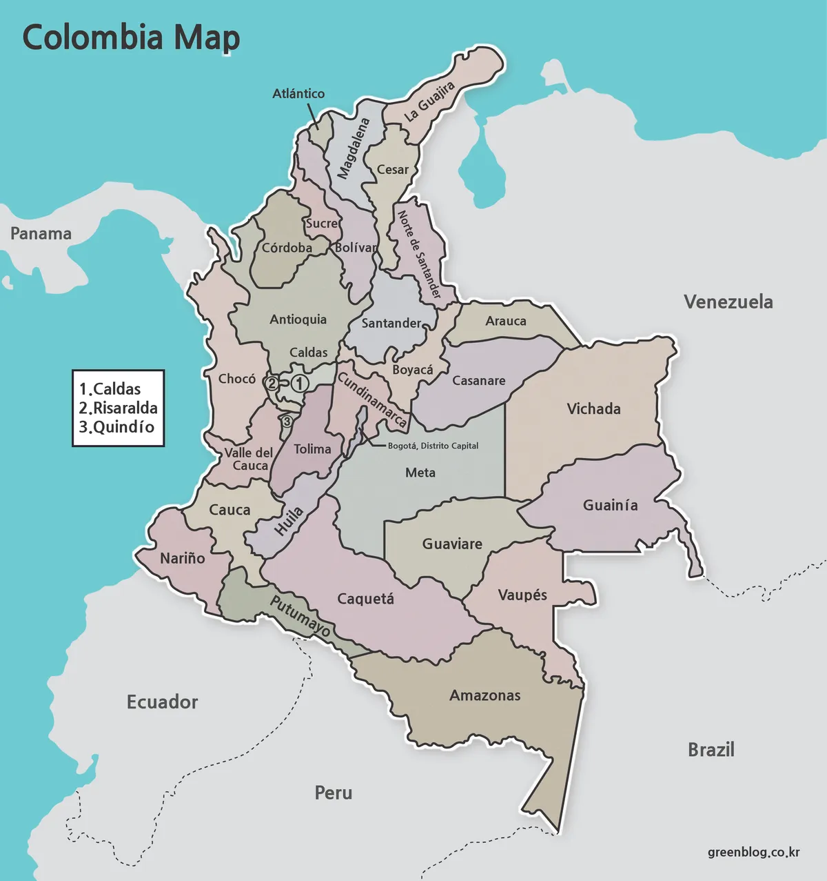
The main Colombia map includes regional names and administrative boundaries arranged for quick visual reference. Neighboring countries are shown in gray tones so the Colombian territory stands out more clearly.
A separate island section was added on the left side to help maintain the overall map proportions without shrinking the mainland layout too much.
This version works well for:
- educational materials
- regional comparison graphics
- blog illustrations
- presentation slides
- travel-related visual references
The large A3 layout also makes it easier to read smaller regions when printed.
Black and White Printable Version

Some users prefer a cleaner printable layout instead of a fully colored map. The black and white version removes unnecessary background colors and keeps the structure simple for paper printing.
This version is especially useful for:
- classroom handouts
- worksheets
- reports and documents
- annotation work
- low-ink printing
The grayscale background was intentionally softened to reduce heavy ink usage during printing.
Blank Outline Map for Editing
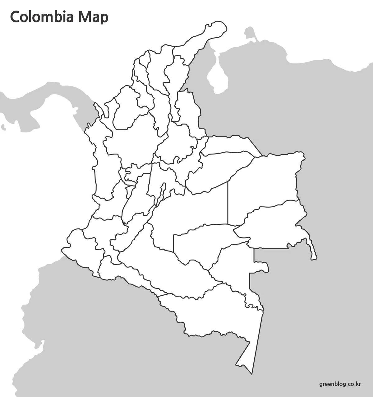
The outline version removes labels and colors entirely, leaving only the administrative boundaries. This layout is useful when users need a flexible base map for custom projects.
Common uses include:
- infographic design
- regional highlighting
- custom labeling
- educational activities
- map-based presentations
Because the borders were cleaned and simplified during production, the outline map is easy to edit in graphic software without additional tracing work.
Designed for Visual Projects and Presentations
The collection was organized with readability in mind rather than detailed geographic data. Airports, highways, and facility markers were intentionally excluded to keep the layout visually clean.
This makes the files useful for:
- YouTube presentation graphics
- classroom geography materials
- printable study resources
- infographic layouts
- visual comparison projects
The outline and black and white versions are also convenient when creating custom regional color schemes.
Frequently Asked Questions
Can the maps be printed clearly?
Yes. The files were created in high-resolution A3 format, so borders and labels remain readable when printed.
Does the outline version work for editing?
Yes. The blank version was designed for annotation, graphic editing, and custom regional highlighting.
Are roads and detailed facilities included?
No. These maps focus on administrative structure and regional readability rather than transportation data.
Download Information
The Colombia map files are grouped by map type and provided in a compressed archive.
- Labeled regional map
- Black and white printable map
- Blank outline map
Choose the layout that best matches your presentation, classroom, or editing project.
The files are provided in ZIP format and can be extracted after download.
Related Maps
- Mexico Maps Download Collection (3 Files for Regional Reference)
- 5 United States Maps for Download (Color, Black & White, Outline)
- United Kingdom Maps Download – 4 Printable Map Collection
- France Maps Collection Download – 3 Practical Formats
Green Map creates custom-edited map images using open geographic data sources such as geoBoundaries, Natural Earth, OpenStreetMap, and government open data.
These maps are edited visual materials, not raw data files, and are provided for education, documents, presentations, and graphic reference.