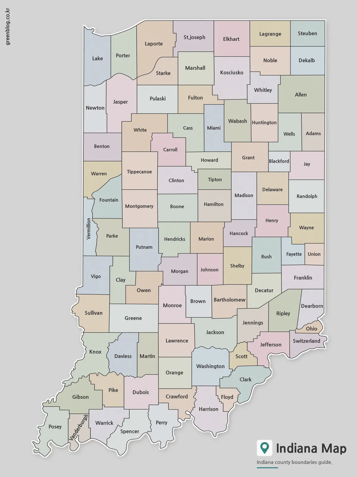
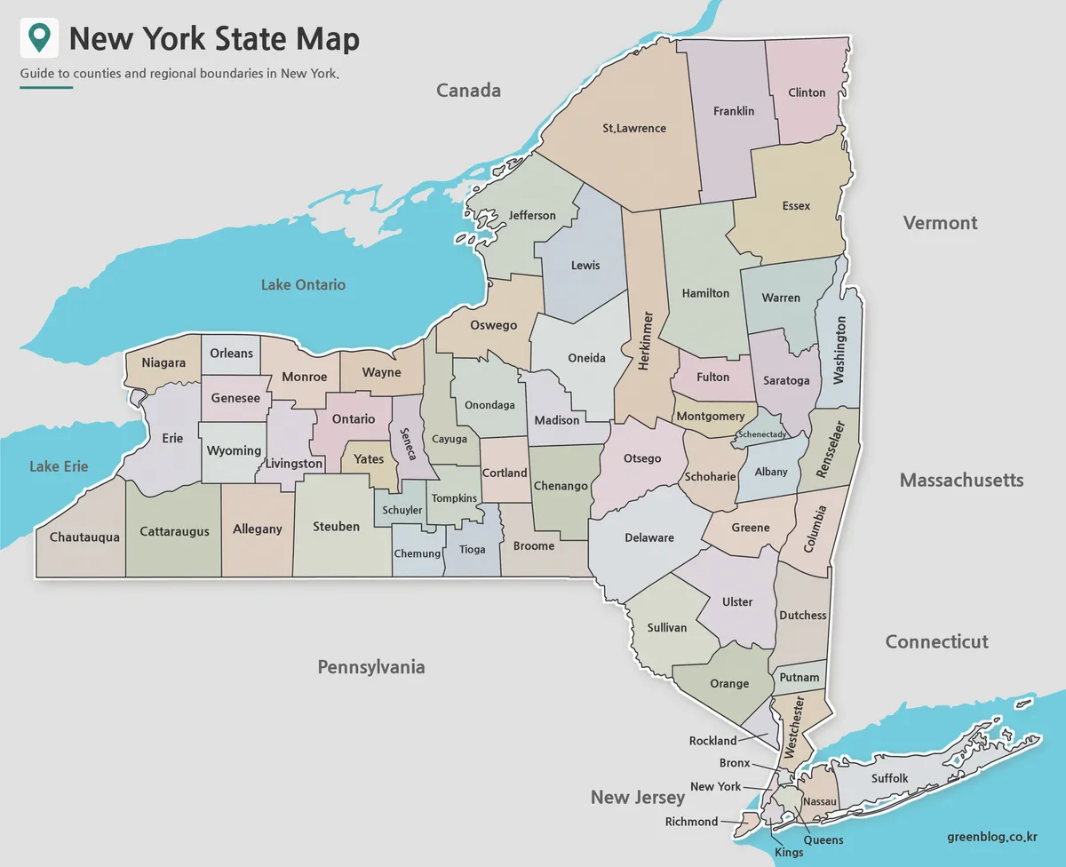
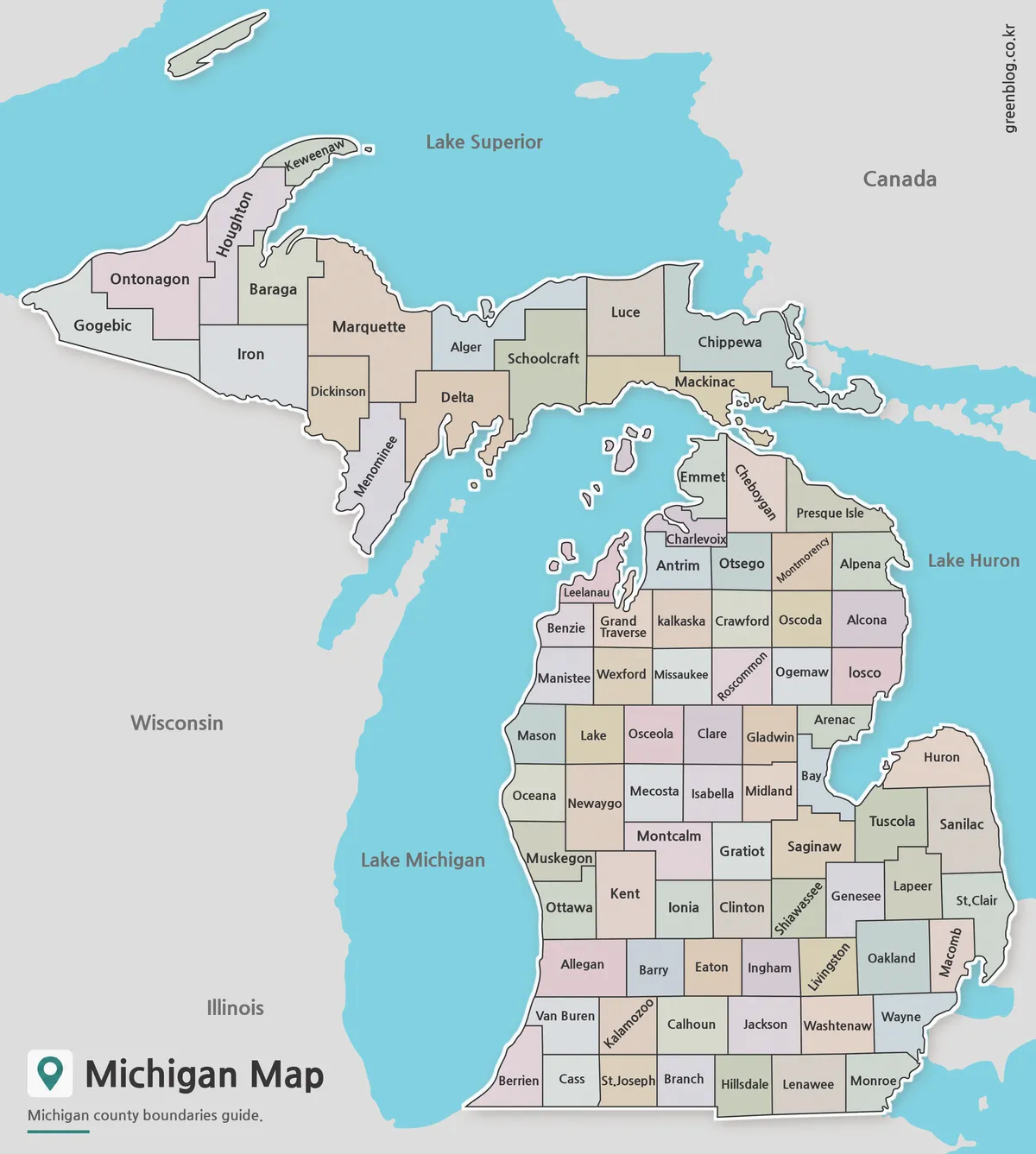
When searching for United States maps for download, many results appear visually appealing but are difficult to use in practice. Bright colors may stand out, yet they often interfere with adding statistics or dividing regions for analysis. Unclear image sources also create concerns about copyright and reuse.
To address these issues, a complete United States maps for download collection was created using a single base structure. Common search terms such as US map download, USA flag map, and state abbreviation map show that many users prefer simple and reusable formats over decorative designs.
Based on this need, several map types were developed from the same foundation. Some versions focus on clean outlines, while others support learning, organization, and visual presentation. Each map type is introduced below, and the full collection is available as a download at the end of this post.
Table of Contents
Basic Information About the United States
- Location: North America
- Area: Approximately 9,192,000 square kilometers, ranking among the largest countries in the world
- Population: Around 330 million people
- Political system: A federal republic with a presidential system based on the separation of legislative, executive, and judicial powers
- Economic characteristics: A highly developed economy supported by technology, finance, agriculture, and manufacturing
- Climate: Highly diverse due to the large territory, ranging from Arctic tundra in northern Alaska to warm southern regions and tropical climates in Hawaii
Structure of the United States Map Collection
Instead of focusing on a single format, this United States maps for download set was designed as a flexible collection. Different users apply maps in different ways, so multiple formats were prepared with equal importance.
These maps are suitable for education, presentations, and design work. Each file can be used digitally or printed, depending on the project. Color maps, black and white maps, and outline maps are all included to support a wide range of use cases.
1️⃣ Standard United States Map with State Names
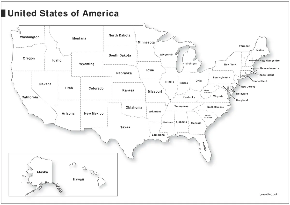
This map shows the full United States with state names labeled in both Korean and English.
All outlines were drawn manually using Adobe Illustrator. No commercial templates or auto-generated graphics were used. Decorative elements were removed, and only black lines were applied to keep the layout clear and easy to read.
State names are placed carefully for readability. Alaska and Hawaii are displayed separately below the mainland to improve balance and visibility. While the design may feel simple, it works well for statistical displays and regional comparisons.
The process involved tracing the national outline, marking state borders with dashed lines, and arranging labels consistently. A light shadow effect was added to prevent a flat appearance.
2️⃣ Blank United States Outline Map
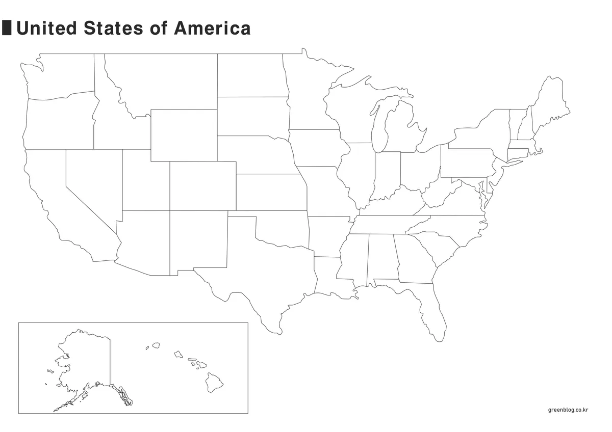
This version removes all state labels to allow free editing.
Some users prefer a blank US map so they can add their own data or text. Based on that feedback, a blank outline version was included in this collection.
This map works well for adding statistics, using other languages, or printing for handwritten notes. It can be edited with graphic tools or used directly on paper.
3️⃣ United States Map with State Abbreviations
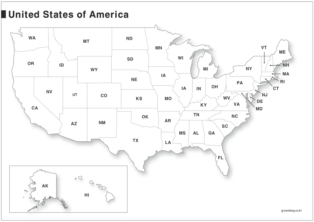
Each state is labeled using its official two-letter abbreviation.
These abbreviations are commonly used in postal services, charts, and data tables. Showing them on a map makes it easier to understand reports and regional references.
The abbreviations were organized using publicly available reference data. The goal was clarity, making the map easy to read for learning and general reference.
4️⃣ Color-Coded United States Map
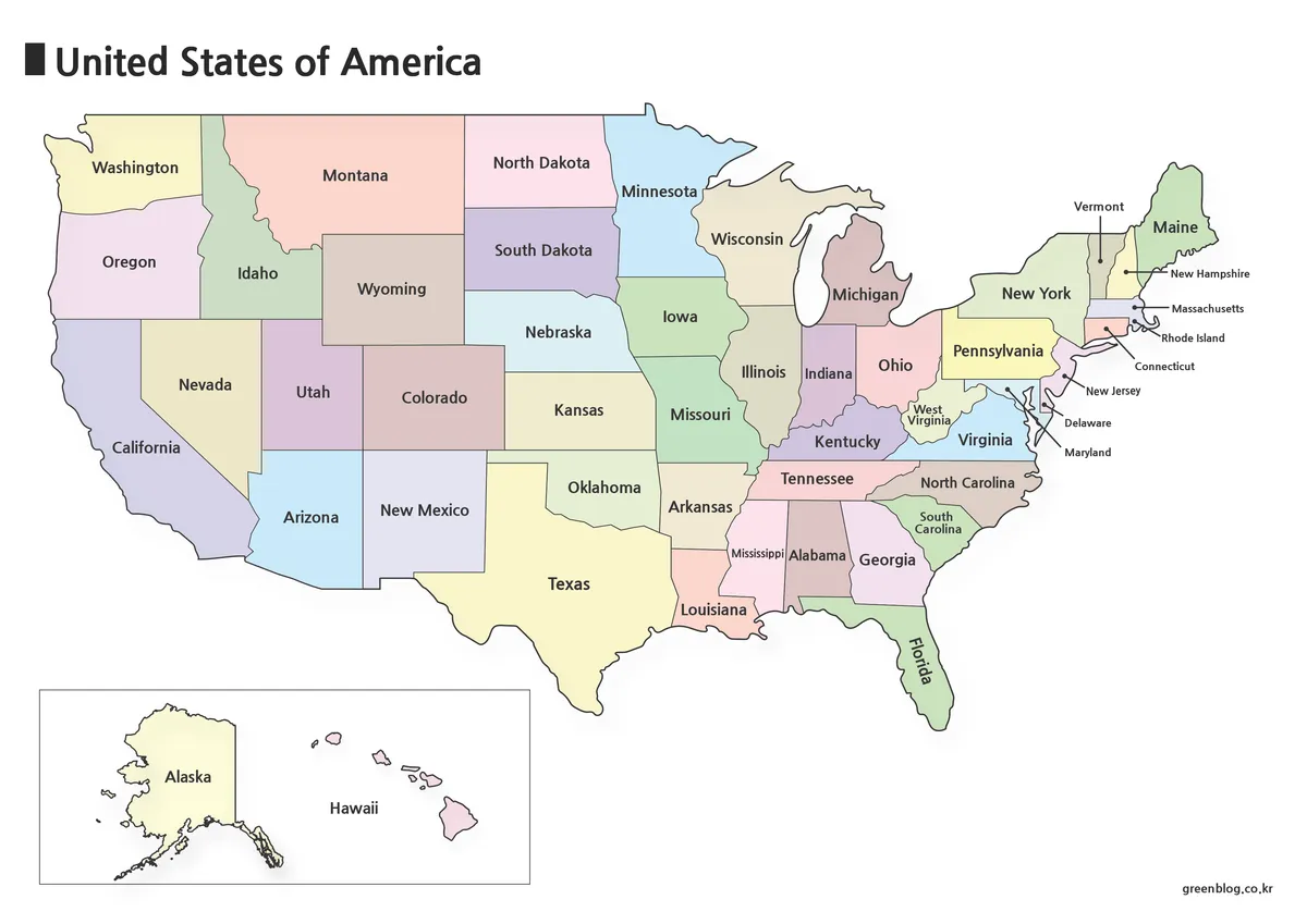
This version uses color to separate regions clearly.
Compared to monochrome maps, the color-coded layout makes regional boundaries easier to recognize at a glance. Even first-time viewers can understand the structure quickly.
Colors were applied carefully to avoid visual overload. This map works well for blog posts, presentations, and explanatory content.
5️⃣ United States Map with National Flag Design


This map was created for visual and creative use.
Some users search specifically for maps that include the USA flag, especially for thumbnails and design projects. To support this need, this version was created as a transparent PNG file.
A subtle 3D effect was added to give depth compared to flat designs. It can be used in videos, slides, and country introduction content. Additional versions may be added later.
Frequently Asked Questions
Is the United States map free to use?
Yes. These maps can be used for personal blogs, educational materials, statistics, and design projects. Redistribution or resale of the original files is not allowed.
Why are Alaska and Hawaii shown separately?
Their distance from the mainland makes it difficult to display everything at the same scale. Separating them improves readability and follows common map conventions.
What are the file size and resolution?
The standard map has a resolution of 3484 × 2447 with a file size of about 3MB. It is suitable for both print and digital use.
Which software was used to create the maps?
All outlines were drawn manually using Adobe Illustrator. Shadow effects were added for depth, and the flag map was exported as a PNG file.
Where can the flag map be used?
It works well for video editing, thumbnails, presentations, and country-related visual content. The transparent background makes compositing easy.
Download Information
At the bottom of this post, you can download the United States outline map, blank outline map, state abbreviation map, color-coded map, and flag map as a ZIP file.
Choose the format that fits your purpose for both printing and digital projects. This map is also available in Korean.
You can view the original version through the link below.

▶ South Korea Maps Download: 6-Map Collection
▶ Italy Maps Download Collection (3 Printable Map Files)
▶ 4 Japan Maps Download Collection for Print and Design