
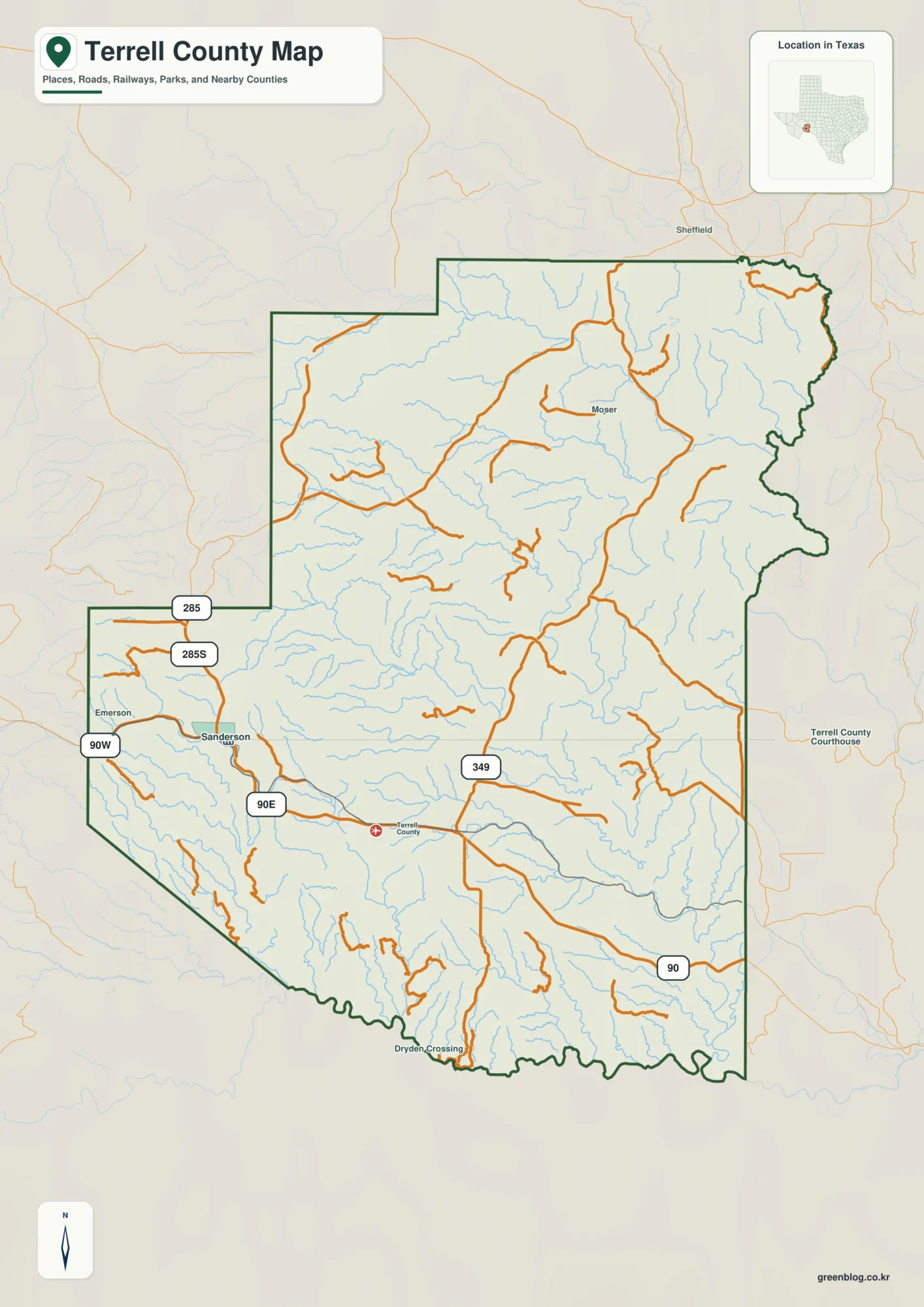
Sanderson Creek Valleys on a Terrell County Texas Map
This page uses Sanderson as the main road reference for a Terrell County Texas Map, then follows the county’s desert […]
Sanderson Creek Valleys on a Terrell County Texas Map Read More »
This page uses Sanderson as the main road reference for a Terrell County Texas Map, then follows the county’s desert […]
Sanderson Creek Valleys on a Terrell County Texas Map Read More »
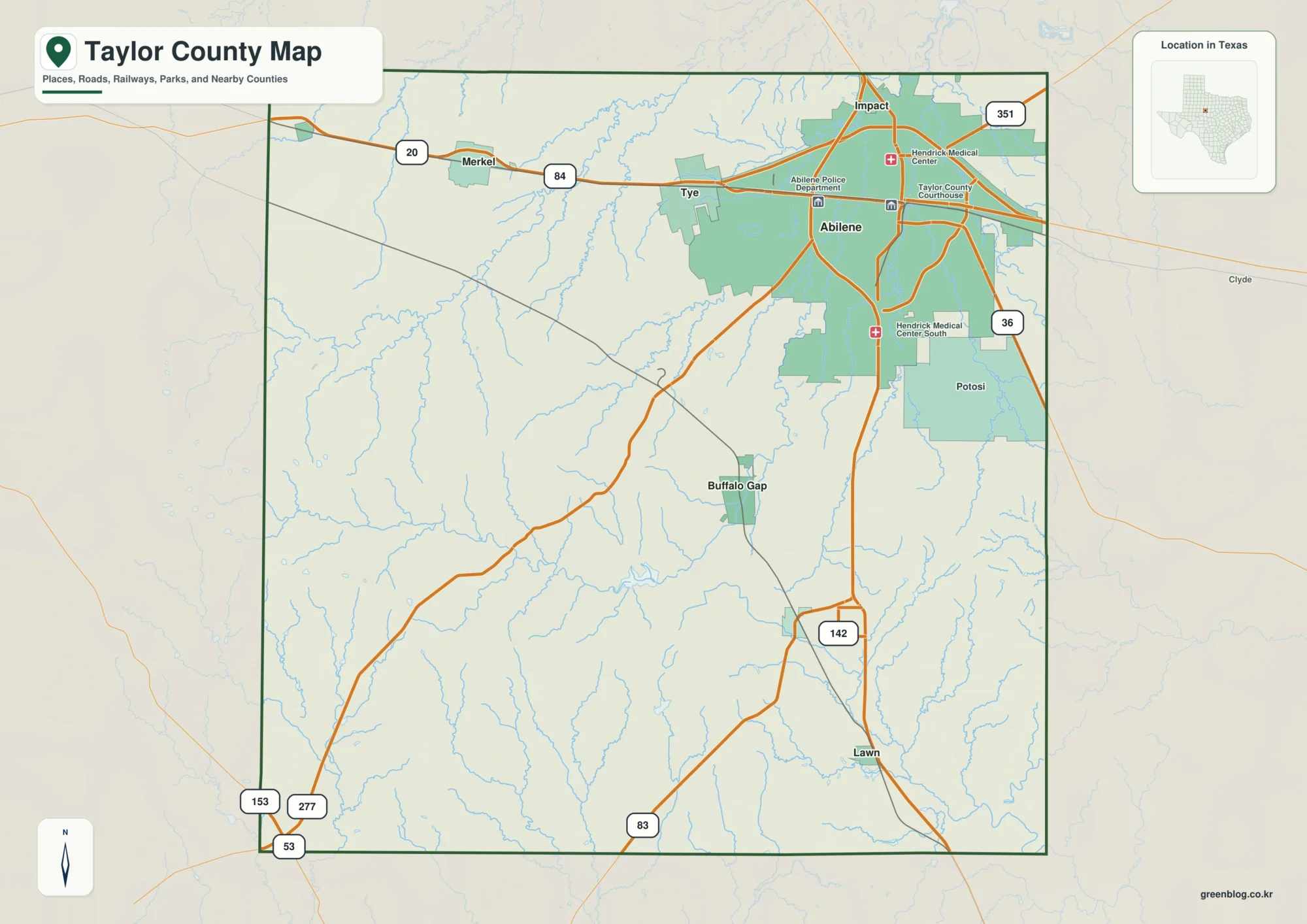
This Taylor County Texas Map set uses Abilene as the main urban reference, then follows the smaller towns west and
Taylor County Texas Map: Abilene, Lake Abilene, and Southwestern Ridges Read More »
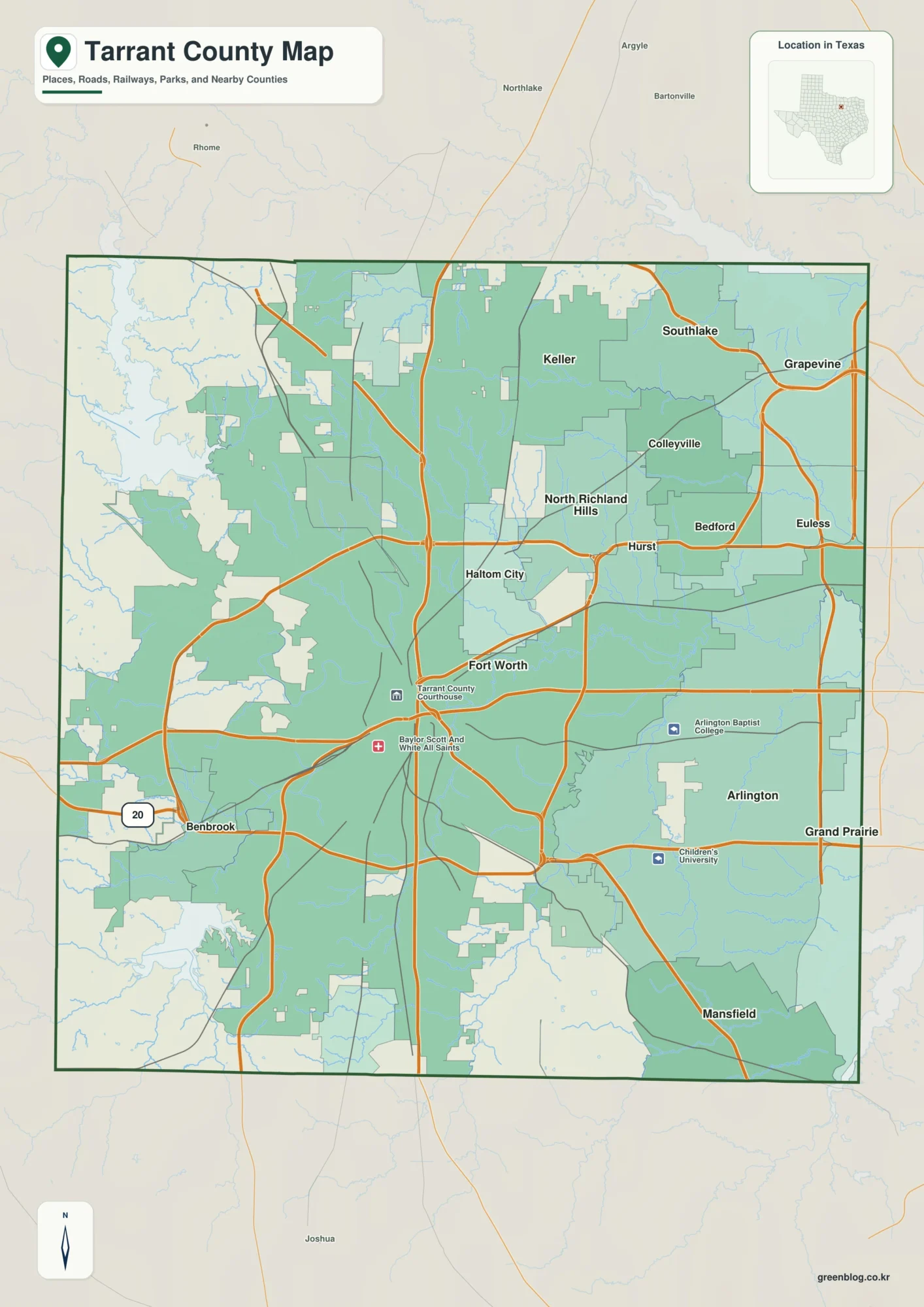
This Tarrant County Map set uses Fort Worth and Arlington as the two strongest urban references, then adds the northeast
Tarrant County Map: Fort Worth, Arlington, and Trinity River Reservoirs Read More »
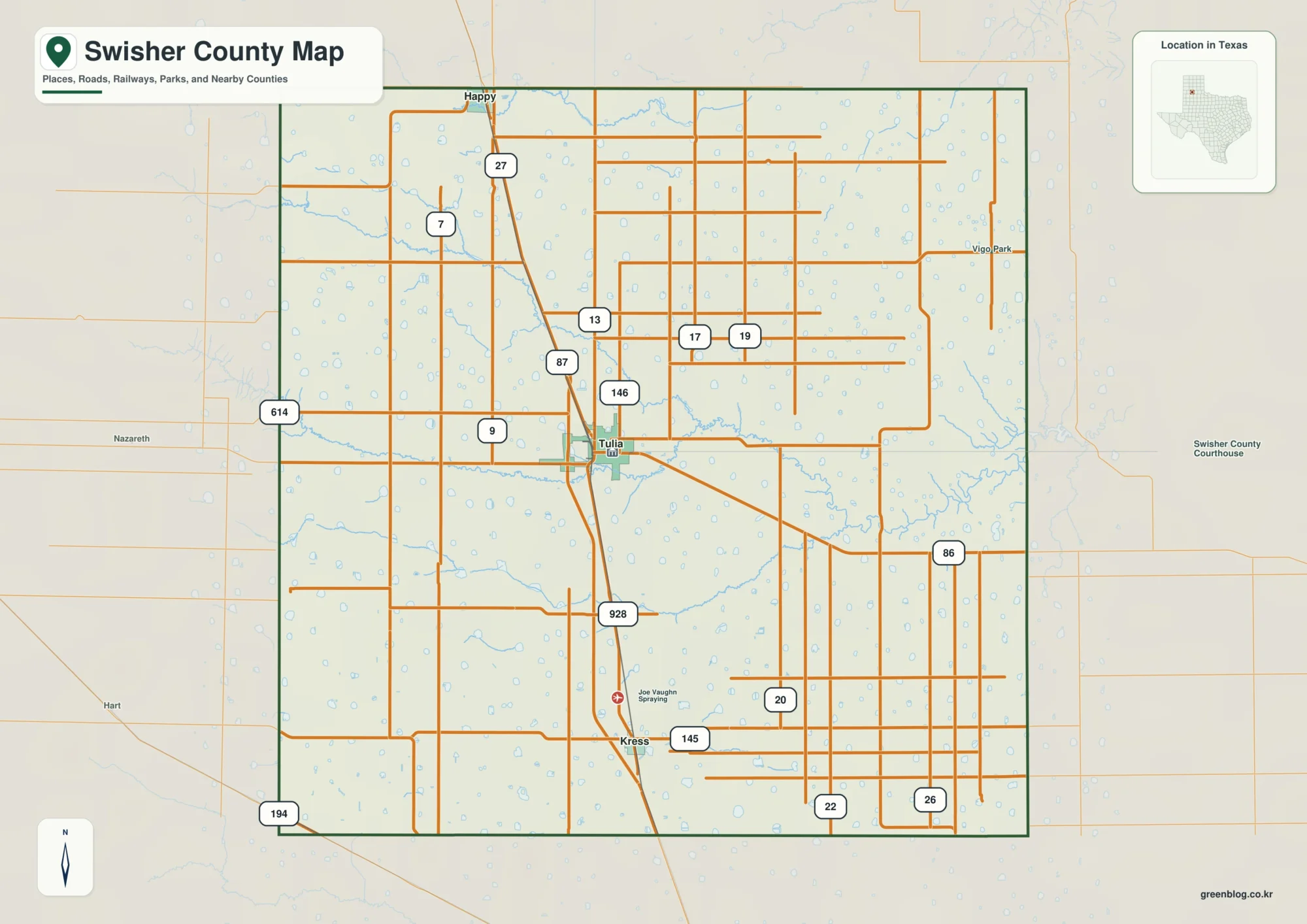
This Swisher County Map set is organized around Tulia, the north-south I-27 and U.S. 87 corridor, the city sequence from
Tulia on a Swisher County Map: I-27 Towns and Tule Draw Valleys Read More »
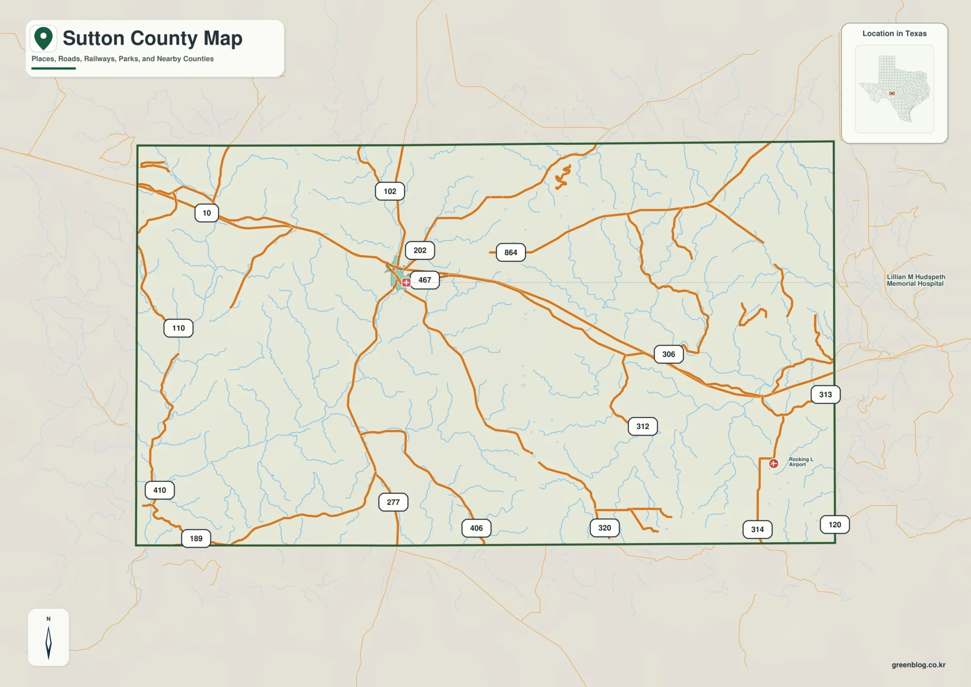
This Sutton County Map set uses Sonora as the main reference point for roads, drainage, and relief across the county.
Sutton County Map: Sonora, Dry Devils River, and Llano Drainages Read More »
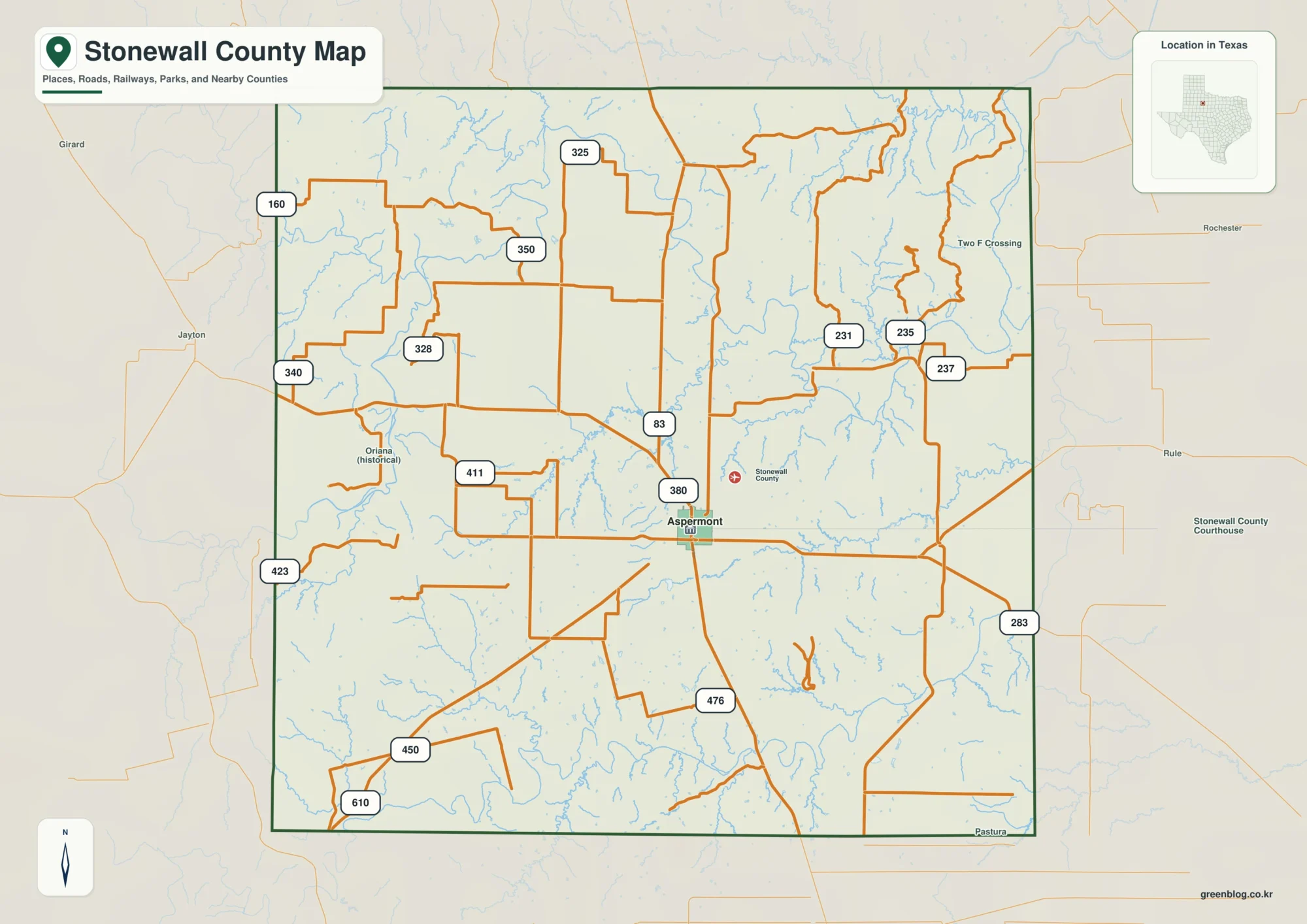
This Stonewall County Map set is organized around Aspermont, where U.S. 83 and U.S. 380 provide the clearest road references.
Stonewall County Map: U.S. 83 Crossroads and Double Mountain Fork Valleys Read More »
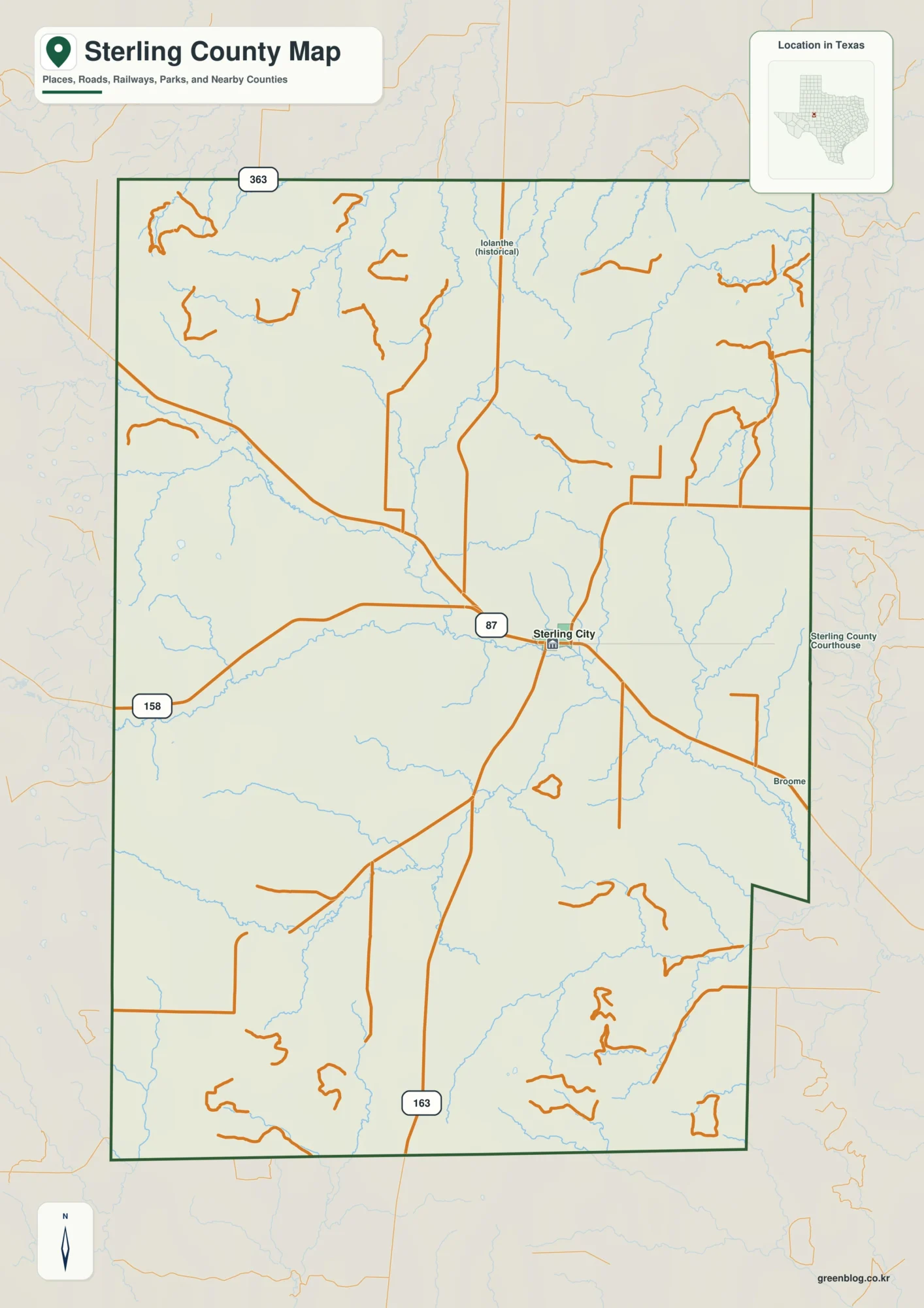
This Sterling County Map set centers on Sterling City, the road network around U.S. 87, the North Concho River drainage,
Sterling County Map: Sterling City, North Concho River, and High Western Ridges Read More »
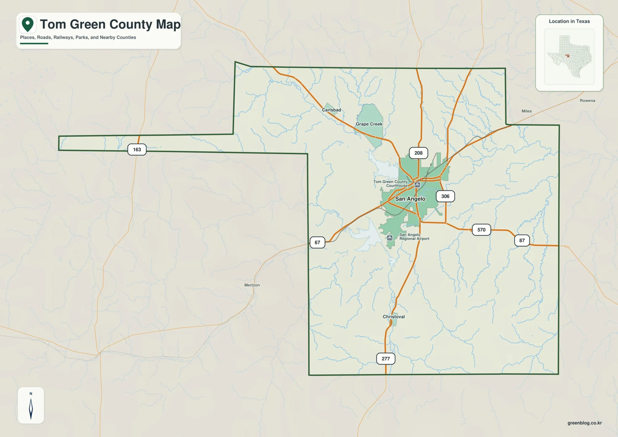
This Tom Green County Map set is centered on San Angelo, then follows the county northwest toward Carlsbad and Grape
San Angelo and the Concho Rivers on a Tom Green County Map Read More »
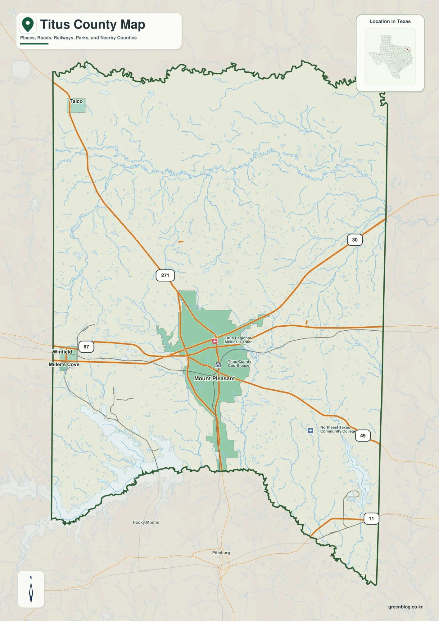
This Titus County Map set uses Mount Pleasant as the main reference for roads and settlement, then expands to Talco
Mount Pleasant and Whiteoak Creek on a Titus County Map Read More »