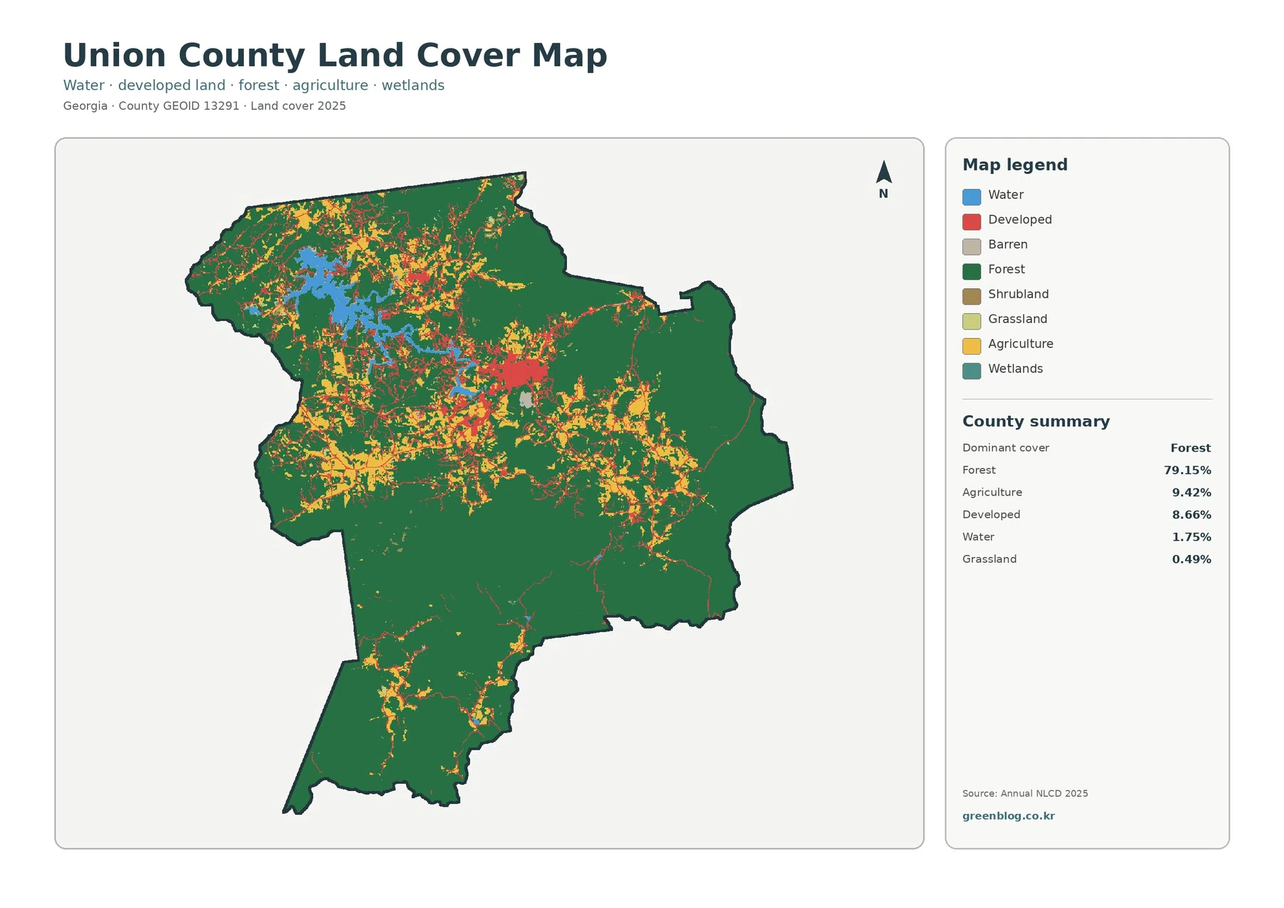
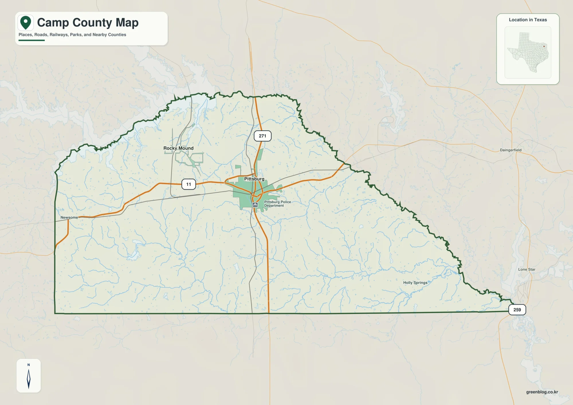
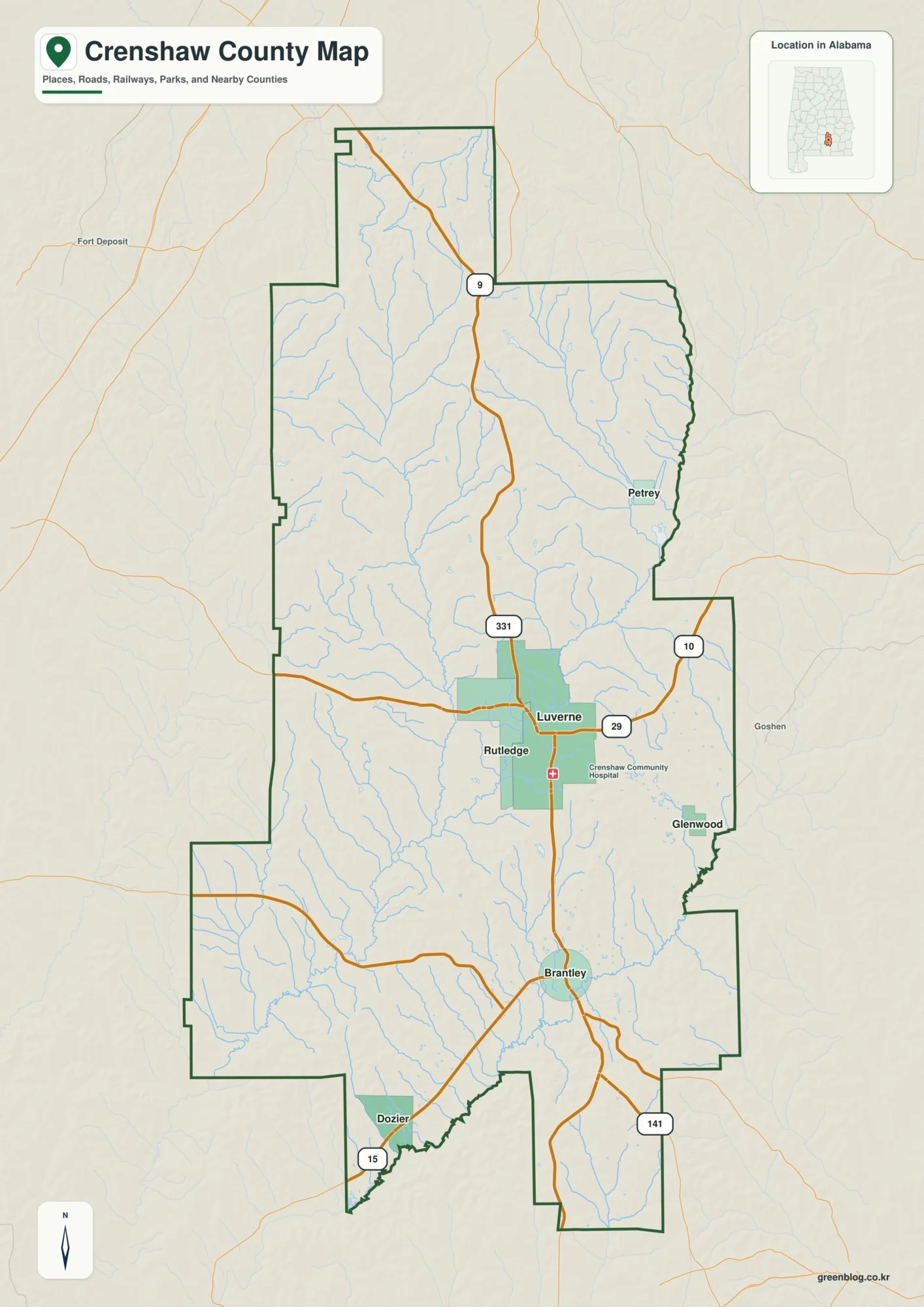
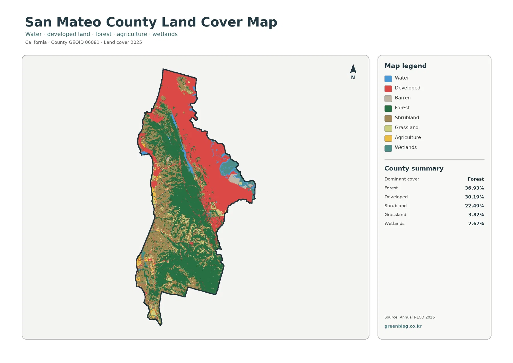
Download the A3 high-resolution JPG ZIP directly from this Cleveland County Arkansas Map page; it contains the county, city, water, and elevation maps shown below. Rison is the main reference point near the center, Kingsland sits well to the southwest, and the Saline River runs through a broad low corridor toward the southeast. Woodlawn, New Edinburg, and Rye help define the eastern and southern parts of the county, while Moro Creek follows much of the irregular western edge.
The map set is most useful when the county is viewed as a combination of settlements, water, and gently rolling relief rather than as a list of roads. Rison gathers several local routes around the county seat, but the surrounding communities remain widely spaced. Between them are creeks, small lakes, and broad rural areas. The elevation map reports roughly 32 to 98 meters, with an average near 61 meters, so the county is not mountainous; the more important contrast is between the lower Saline River corridor and the ridges that rise on either side.
The Saline River provides a natural way to connect the four map themes. On the general map it helps explain why some roads bend around low ground, on the water map it forms the dominant northwest-to-southeast channel, and on the elevation map the surrounding valley appears lower than much of the neighboring terrain. Moro Creek adds a second strong reference along the west. These features make Cleveland County easier to understand without turning the page into a technical GIS report.
The maps are intended for orientation, teaching, documents, and general reference. They do not replace live navigation, flood warnings, legal parcel data, or survey-grade elevations. When those decisions matter, use current agency sources. For ordinary map reading, however, the combination of Rison, Kingsland, the Saline River, and the surrounding creek valleys gives a clear picture of how the county is organized.
Table of Contents
Start at Rison to trace the main road connections across the county
On the general map, Rison sits close to the center and is the most prominent named place. Route 133 is labeled at the city, while Route 212 appears northward toward the Staves area. East of Rison, Route 114 runs toward Woodlawn and the eastern boundary. Farther southeast, Routes 35, 11, and 63 divide the eastern half into several local corridors. The road pattern is not a perfect hub-and-spoke system, but using Rison as the central anchor makes the directions much easier to understand.
Kingsland lies southwest of Rison near Routes 79 and 189. Route 97 continues southward toward New Edinburg, and Route 8 crosses close to the southern edge. This part of the county is useful for seeing how roads interact with the irregular western boundary. Nearby labels outside the county, including Fordyce and Thornton, also provide regional reference points and make it easier to see how Cleveland County fits among neighboring counties.
Woodlawn and Rye are smaller but important markers for the east and southeast. Woodlawn appears near Route 114, while Rye is close to Route 63. Route 54 and Route 530 are shown in the northeastern area, indicating that the eastern side is divided among several local road corridors rather than being connected to Rison by only one line. The map works well for county-wide orientation, but it is not intended to replace live navigation, current road-closure notices, or turn-by-turn directions.
The shape of the county is also worth noticing. The eastern and northern boundaries are relatively straight in several sections, while the western edge bends sharply. That western irregularity follows drainage features and becomes much easier to understand when the water map is viewed beside the road map. In other words, the boundary is not simply a geometric outline; in places it responds to the natural course of water.
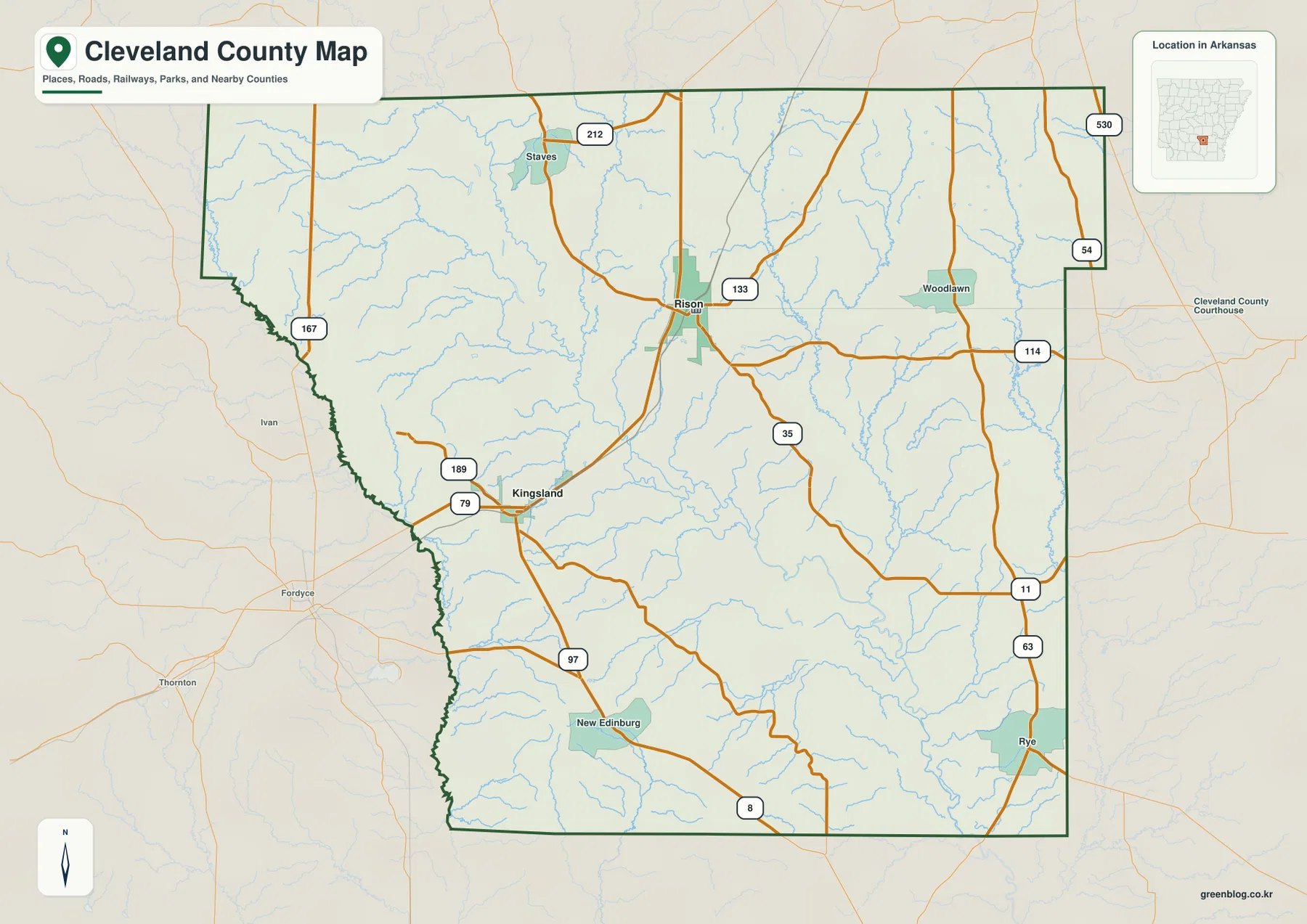
Rison and Kingsland show how widely the main settlements are spaced
The city index simplifies Cleveland County to two highlighted places: Rison first and Kingsland second. Removing most road labels and smaller community names makes the distance between the two much more obvious. Rison is placed near the center of the county, while Kingsland is clearly southwest. For someone learning the county for the first time, this simple view is often more useful than trying to read every road and creek at once.
The map also shows why Cleveland County does not read as one compact urban corridor. Large rural spaces and many small drainage lines separate the two main cities. Rison has more roads converging around it and functions as the county seat, while Kingsland is more closely associated with the southwestern side. Once that broad distinction is clear, smaller places such as Woodlawn and New Edinburg are easier to add when returning to the general map.
Neighboring county labels provide additional orientation. Dallas and Calhoun counties are to the west and northwest, Bradley County lies toward the southwest, Drew and Lincoln counties are eastward, and Grant and Jefferson counties appear to the north. These surrounding names help establish Cleveland County within south-central Arkansas without requiring a separate statewide map.
The city index is designed for relative location, not travel distance. It does not give driving mileage, travel time, or current route conditions. Its main value is showing where Rison and Kingsland sit within the county outline so that the more detailed road, water, and elevation maps can be read with a clearer sense of place.
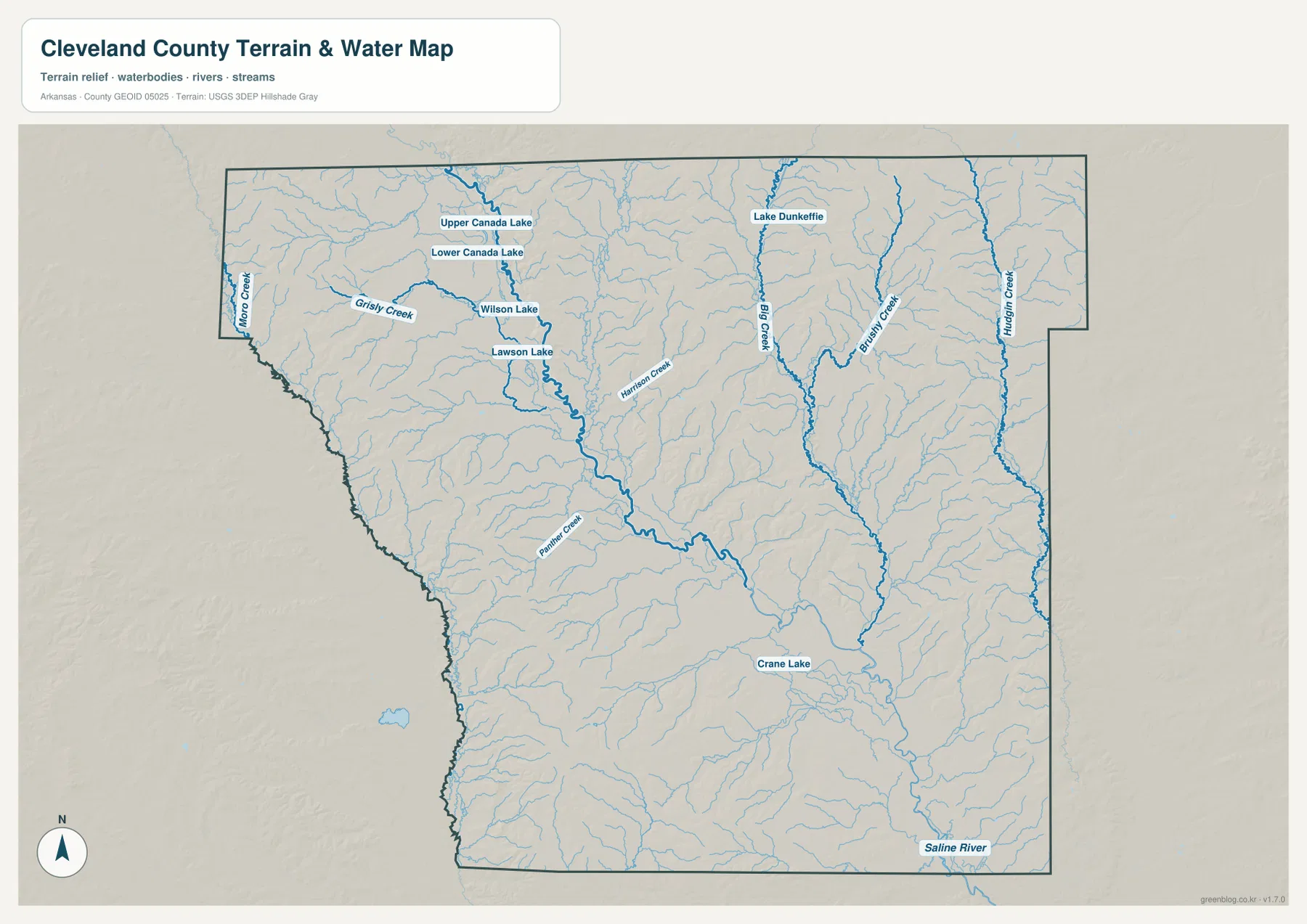
The Saline River forms the main water corridor, with Moro Creek on the west
The water map is organized around the Saline River, the county’s most important river feature. A broad channel enters from the northwestern side of the interior, bends through the middle, and continues toward the southeast. County references also describe the Saline River as crossing Cleveland County from near the northwest corner toward the southeast. When the river is compared with the road map, it becomes clear that many local routes and communities sit on rolling ground beside this lower central corridor.
Moro Creek appears along the western side and helps explain the county’s irregular boundary there. Nearby, Grisly Creek crosses the northwest, and a cluster of small named lakes—Upper Canada Lake, Lower Canada Lake, Wilson Lake, and Lawson Lake—adds detail to that part of the county. These features are easy to miss on the general map, where roads and settlement names receive more visual emphasis.
East of the Saline River corridor, Big Creek, Brushy Creek, and Hudgin Creek run through the eastern half, while Harrison Creek is labeled nearer the center. Palmer Creek appears farther southwest. Crane Lake is marked in the southern portion of the county. Taken together, these features show that the landscape is drained by many smaller creeks feeding lower areas rather than by one river alone.
The Saline River name appears again near the southeastern edge, where the channel leaves the county. This creates a useful visual path from northwest to southeast across the map. Smaller streams descend from higher ground on both sides toward that main low corridor. The water map is for geographic reference only; it does not show current flood risk, water depth, navigability, parcel ownership, or legal shoreline limits.
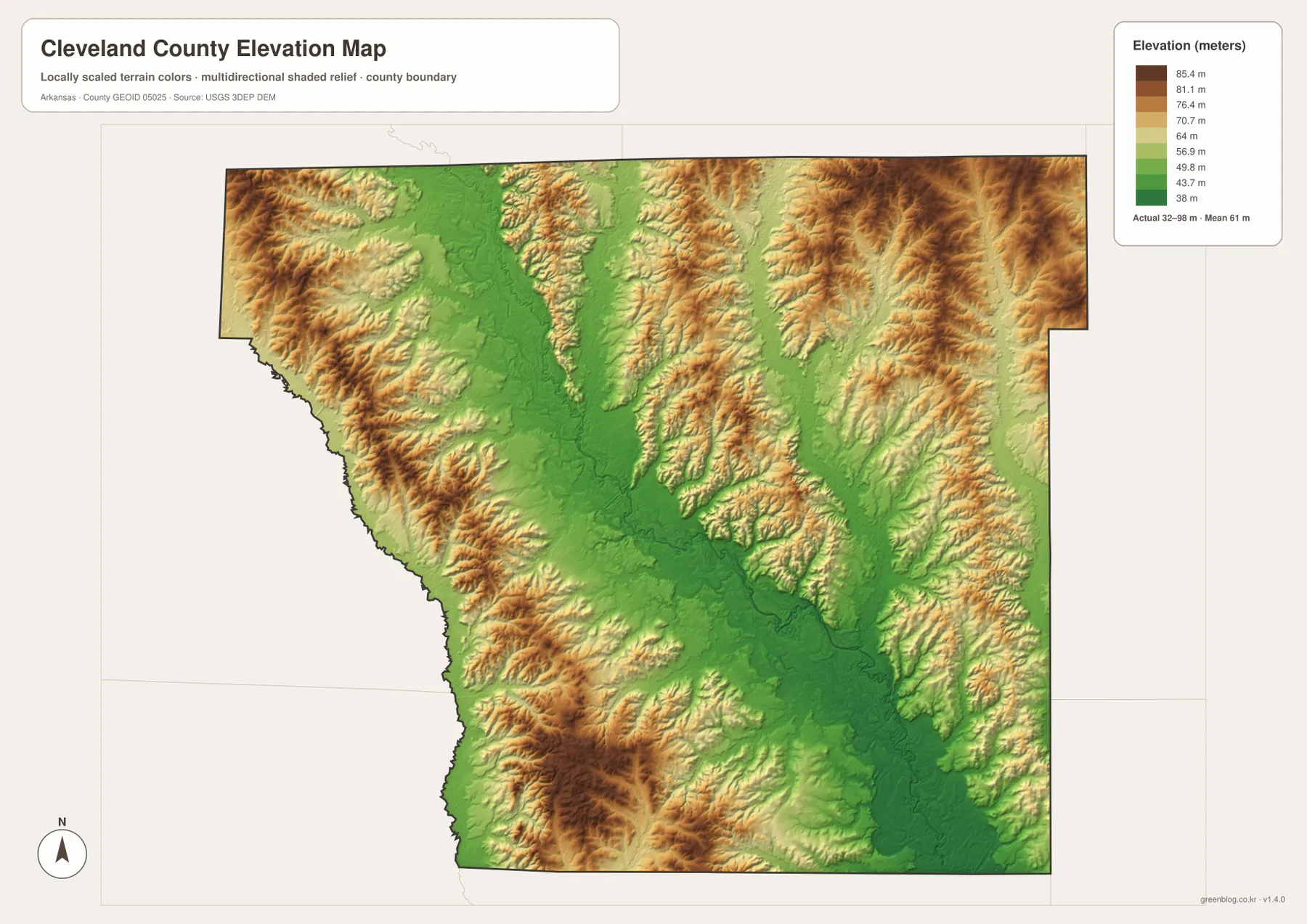
A 32–98 meter range highlights the river valley more than any high summit
The elevation map reports a county-wide low near 32 meters, a high near 98 meters, and an average close to 61 meters. The terrain is not mountainous, yet the shaded relief reveals a clear pattern. A broad green lowland follows the Saline River through the central part of the county, while tan and brown ridges occupy much of the west, north, and east. The transition from valley floor to rolling upland is visible even without reading individual elevation values.
On the western side, ridges run alongside narrow green valleys, especially near the irregular boundary. Similar relief appears south and southwest of Kingsland and west of New Edinburg. These higher sections are separated by small drainage corridors, which match many of the creeks on the water map. This is why the relief looks textured rather than smooth even though the total elevation range stays below 100 meters.
The eastern half has the same basic relationship. Higher ridges are broken by lower corridors associated with Big Creek, Brushy Creek, Hudgin Creek, and other tributaries. Toward the southeastern Saline River outlet, the green lowland becomes broader again. Cleveland County is therefore better understood as rolling hills surrounding river and creek valleys rather than as a uniformly flat plain.
The 32–98 meter range is useful for county-scale comparison, but it should not be treated as a survey-grade elevation source. Building, drainage, road design, and engineering work require detailed USGS elevation data or professional field measurements. This map is most appropriate for understanding where the main lowlands and higher ridges sit in relation to Rison, Kingsland, and the Saline River.
Use Rison and the Saline River as the two easiest anchors
There is no need to memorize every town and creek to understand Cleveland County. Rison provides the central settlement reference, Kingsland anchors the southwest, and the Saline River gives the county a strong natural line from northwest to southeast. Adding Moro Creek on the west, Woodlawn on the east, and New Edinburg toward the south fills in most of the remaining orientation.
Rison is most informative on the general road map because several routes can be compared there. Kingsland is useful for understanding the southwest and the irregular western boundary. The Saline River is the feature that connects the water and elevation maps: it is both the major channel and the center of a lower valley bordered by rolling ground. Looking at those three anchors across different layers makes the county much easier to remember.
The northwest and east provide useful contrasts. The northwest contains the Canada Lakes, Wilson Lake, Lawson Lake, Grisly Creek, and the western Moro Creek boundary. The east has longer north-south tributaries such as Big Creek and Brushy Creek. These differences help give each side of the county a distinct map character even though both ultimately drain toward the larger Saline River system.
The northwest and eastern halves also have different details worth noticing. Near the western side, Grisly Creek and the Canada Lakes sit closer to the Moro Creek boundary, creating a cluster of water features that is easy to miss on the road map. East of Rison, longer tributaries such as Big Creek and Brushy Creek extend southward through rolling ground before reaching lower drainage areas. Comparing those two sides shows why the county cannot be summarized by the Saline River alone, even though that river remains the clearest feature tying the map together.
Match each map to roads, waterways, or terrain instead of forcing one view to do everything
The general county map is the best starting point when boundaries, towns, and numbered roads need to appear together. It is especially useful for locating Rison, Kingsland, Woodlawn, New Edinburg, and Rye. If the goal is simply to compare the two main cities, the city index is cleaner because it removes most secondary detail.
The water map is the better choice for the Saline River, Moro Creek, Big Creek, Brushy Creek, and the small lakes in the northwest. When the question is terrain rather than water, the elevation map shows the low river corridor and higher surrounding ridges much more directly. Pairing the water and elevation layers is particularly helpful because the major streams consistently follow lower ground between ridges.
For printing or close inspection, use the full-resolution JPG files instead of enlarging the WebP previews. The ZIP below contains the same four map subjects at 3638 × 2572 pixels each. Small road numbers, creek labels, lake names, and terrain colors are easier to inspect at that size, making the files useful for lessons, presentations, reports, and personal reference.
Frequently Asked Questions
How does the Saline River cross Cleveland County?
The Saline River runs on a broad northwest-to-southeast course through the county. On the water map, smaller creeks feed toward the main channel, while the elevation map shows that much of the river follows a lower valley between rolling ridges.
Which map makes the Rison and Kingsland locations easiest to compare?
The city index is the simplest choice because it highlights only the two major city references. Rison appears near the center and Kingsland to the southwest. Use the general map as a second step when you also need numbered roads and nearby communities.
Can the 32–98 meter elevation map be used for engineering measurements?
No. The elevation layer is intended for broad county-scale comparison of low valleys and higher ridges. Property-level construction or engineering work requires detailed elevation data or professional surveying rather than values read from this overview.
Map File Information
The ZIP contains high-resolution JPG originals for the Cleveland County general map, city map, water map, and elevation map.
- Included Files: County map, city map, water map, elevation map
- Printable Size: 3638 × 2572 px each
- File Type: JPG
Related Maps
Sources and references
- Association of Arkansas Counties – Cleveland County: county overview, Rison as county seat, rolling hills, and Saline River context.
- Encyclopedia of Arkansas – Cleveland County: county-specific background on the Saline River, Moro Creek, and local geography.
- U.S. Census Bureau TIGER/Line Shapefiles: official reference for county boundaries, roads, and place geography.
- USGS National Hydrography: official hydrography reference for rivers, streams, and waterbodies.
- USGS 3D Elevation Program: official elevation and terrain reference.
Green Map creates custom-edited map images using open geographic data sources such as geoBoundaries, Natural Earth, OpenStreetMap, and government open data.
These maps are edited visual materials, not raw data files, and are provided for education, documents, presentations, and graphic reference.