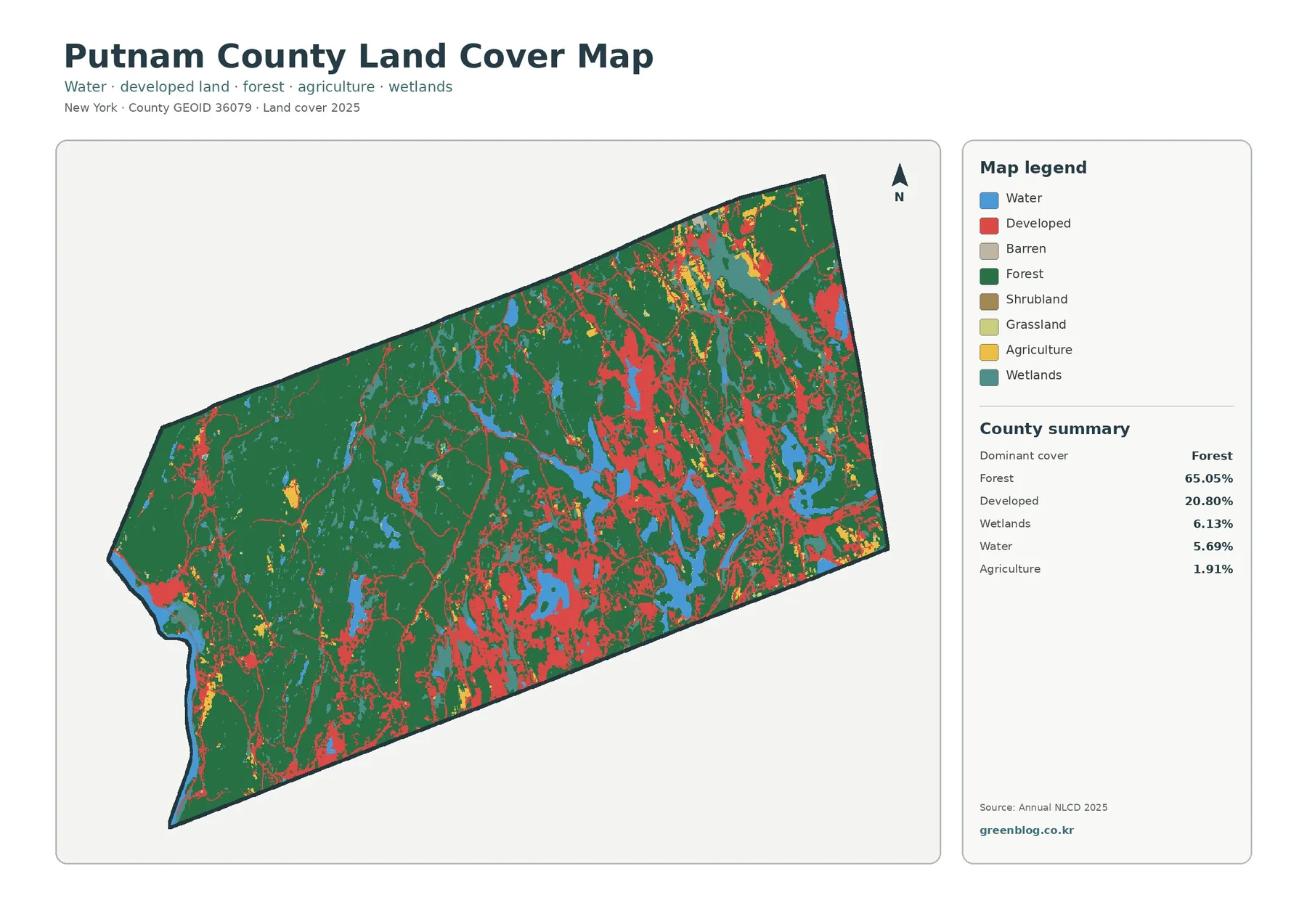
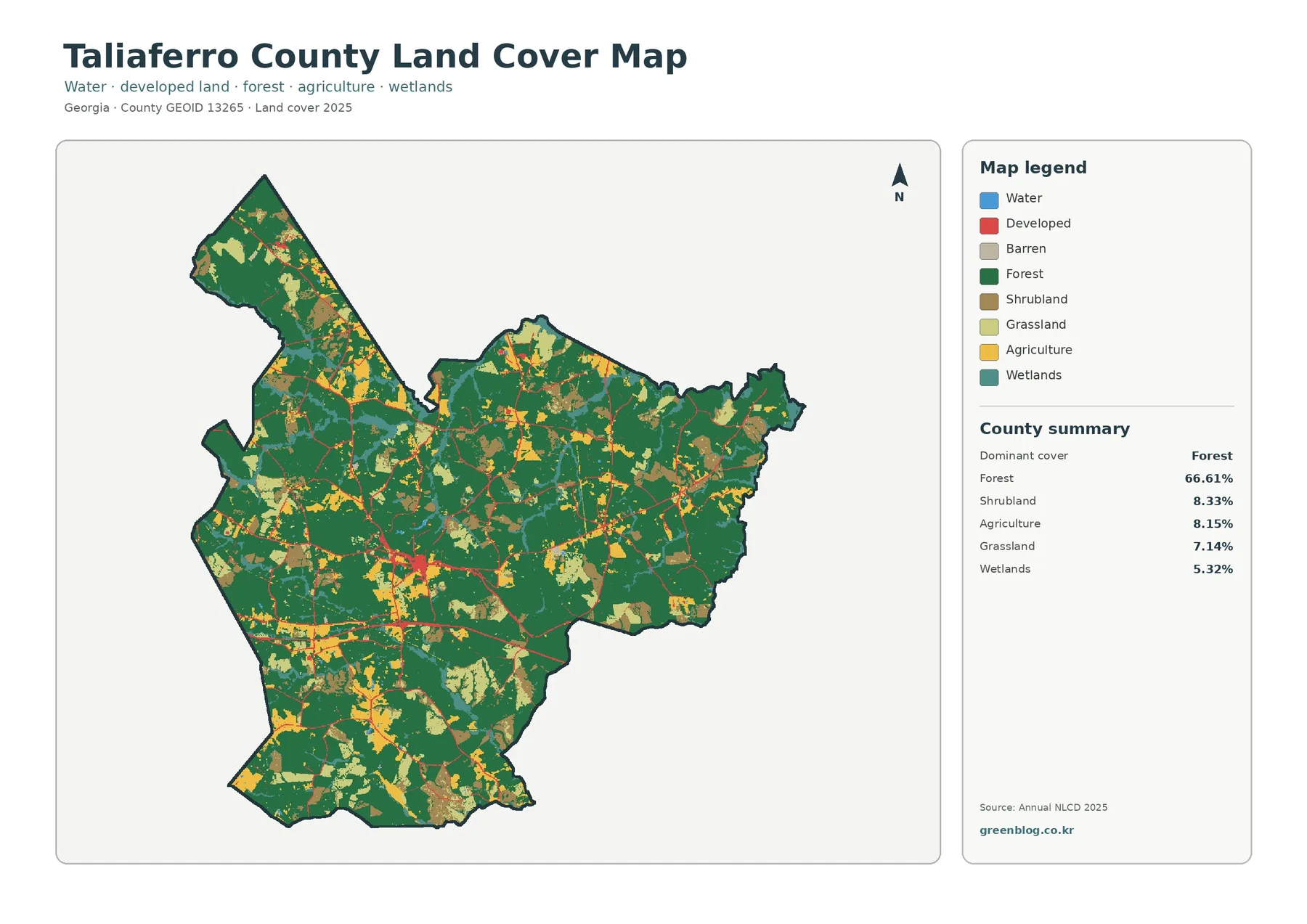
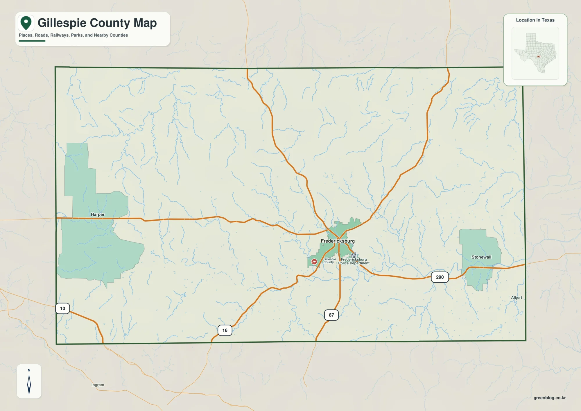
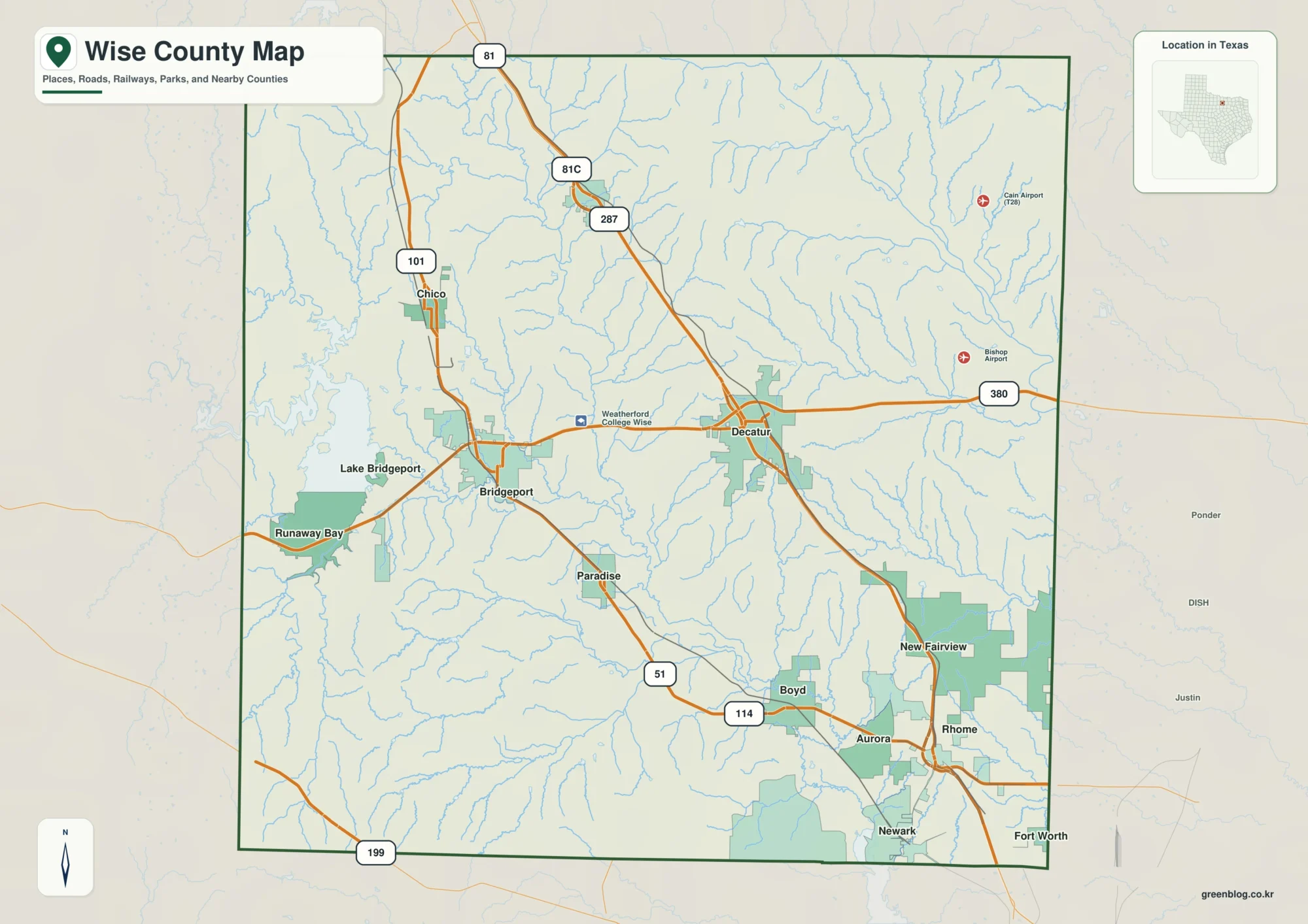
This Lee County South Carolina Map is built around the features that actually appear on the supplied county, city, and terrain-water maps: Bishopville near the north-central part of the county, Lynchburg near the southeast end, a network of numbered roads, and a dense system of streams led by the Lynches River and Black River. The page is meant to help readers understand those relationships before choosing the map that best fits their needs. A ZIP containing the matching high-resolution A3 JPG files can be downloaded from the map file box below.
Lee County has a shape that stretches from a broader northwestern section toward a narrower southeastern extension. Bishopville sits close to the county’s main road network, while Lynchburg occupies a very different position near the far southeast. Between them, the county map labels places such as Browntown, Manville, Ashwood, Wisacky, Elliott, and St. Charles. Together, these names make the county feel less like a simple outline and more like a connected set of small communities, roads, and waterways.
Table of Contents
Bishopville as the road reference point
Bishopville is the clearest starting point on the county map because several numbered roads meet or pass nearby. Routes marked 15, 34, and 20 cross the northern-central portion of the county, while 401, 154, and 76 continue through the southern half. Farther southeast, routes 341 and 58 lead toward Lynchburg, and route 441 appears in the southwest. Rather than treating the road numbers as a list, it is more useful to notice how Bishopville functions as the place where several directions become easy to compare.
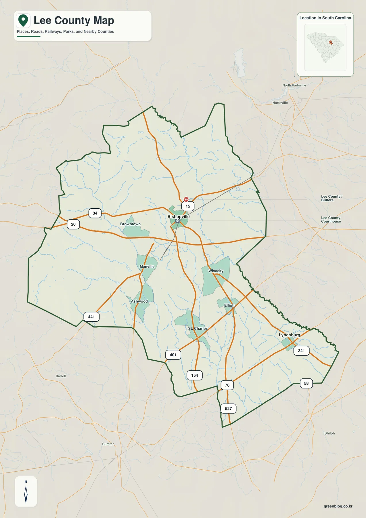
The same map also shows many small streams crossing the road network. Some are subtle, but together they explain why large parts of the county contain more water lines than a simple road map would suggest. North and east of the county, Hartsville and North Hartsville appear outside the boundary, giving another useful regional reference without changing the focus of the map itself.
Two major cities at very different ends of the county
The city map reduces the labels to the two ranked major cities supplied with the package. Bishopville is marked as number 1 and Lynchburg as number 2. Their positions matter more than the ranking itself: Bishopville is near the central road network, while Lynchburg lies in the narrow southeastern portion of the county. This makes the city map useful when a reader wants a quick sense of where the two main urban labels sit without the extra place names shown on the county map.
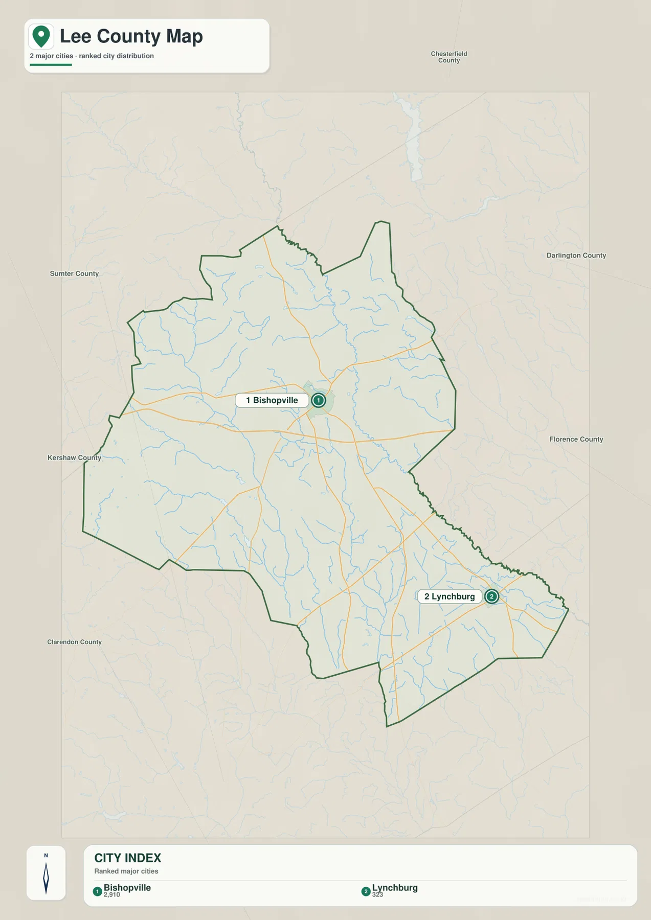
The surrounding-county labels help place this pattern within South Carolina. Sumter County and Kershaw County appear to the west, Chesterfield County to the north, Darlington County and Florence County to the east, and Clarendon County to the southwest. Those labels are especially helpful for understanding why Lynchburg feels close to the county’s southeastern edge while Bishopville remains more central to the county as a whole.
The Lynches River, Black River, and smaller waters
The terrain-water map changes the emphasis completely. The Lynches River is the strongest named water feature, running from the northeastern side toward the eastern and southeastern part of the county. The Black River appears farther south, while the western half contains a mix of smaller streams and wetland-like channels such as Timber Creek, Beaverdam Creek, McGirts Creek, and Sparrow Swamp. The purpose of this map is to show the location and pattern of water features, not to serve as a flood-risk, navigation, parcel, or legal-boundary product.
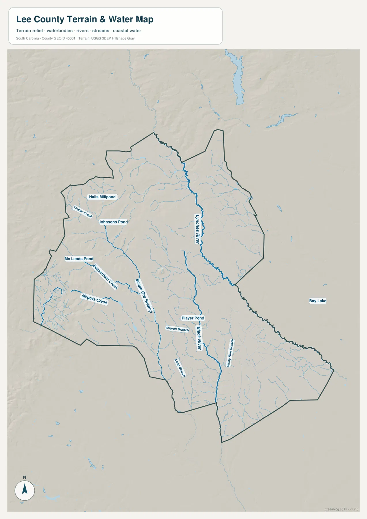
Several ponds give the map additional local detail. Halls Millpond and Johnsons Pond are labeled in the northwest, Mc Leods Pond appears farther west, and Player Pond is shown in the central-southern area. Smaller named branches, including Church Branch, Big Branch, and Story Run Branch, add another layer to the drainage network. Bay Lake is labeled outside the eastern boundary, making it useful as an external reference rather than a feature to be treated as part of Lee County.
How roads and waterways divide the county visually
The northern and southern halves of Lee County look different when the maps are compared side by side. Around Bishopville, the road network is the most obvious organizing feature. Farther south, the county narrows and long road segments are crossed by many small waterways. Near Lynchburg, the boundary itself becomes an important part of the visual pattern because the city sits close to the southeastern end of the county.
The western side provides a different contrast. Roads appear less concentrated than around Bishopville, yet Timber Creek, Beaverdam Creek, McGirts Creek, and related channels show that the area is far from empty. Looking at the county map first and the terrain-water map second is an effective way to separate travel routes from drainage features without confusing one for the other.
Gentle relief in an upper Coastal Plain setting
The shaded background on the terrain-water map comes from a USGS 3DEP hillshade source identified in the package. It does not show a mountainous landscape; instead, the relief is broad and subdued, which fits the upper Coastal Plain context referenced in the existing Lee County material. The hillshade is most useful for seeing how waterways sit within subtle changes in the land surface rather than for measuring exact elevation.
Because no spot elevations are printed on the supplied map, the shaded terrain should not be treated as survey-grade or engineering-grade data. Its value is visual: it helps the Lynches River, Black River, ponds, creeks, and surrounding landforms make more sense as one system. Readers who need precise elevation values should use a dedicated official elevation dataset rather than estimating numbers from the map image.
Choosing the map that fits the question
Use the county map when roads, local place names, and the overall boundary need to appear together. The city map is cleaner for a quick comparison of Bishopville and Lynchburg and for seeing the surrounding county labels. The terrain-water map is the better choice when the Lynches River, Black River, smaller streams, ponds, and shaded relief are the main subject. Since all of them refer to the same county boundary, they can also be compared in a report or classroom activity without changing the geographic extent.
- County map: best for the boundary, numbered roads, Bishopville, Lynchburg, and additional local place labels.
- City map: best for a simplified view of the two ranked major cities and the directions of neighboring counties.
- Terrain-water map: best for the Lynches River, Black River, creeks, ponds, and the broad relief background.
Frequently Asked Questions
What is the easiest reference point to find first on the Lee County map?
Bishopville is the easiest starting point because several numbered roads meet or pass nearby, and the city map also marks it as the top-ranked major city. From Bishopville, the location of Lynchburg and the southern road network becomes much easier to follow.
Where is the Lynches River on the water map?
The Lynches River is the large named river running along the northeastern and eastern side of the county before continuing toward the southeast. It is drawn more prominently than most of the smaller creeks, so it is easy to distinguish on the terrain-water map.
Can the terrain-water map be used as a flood or engineering map?
No. It is a general reference map for rivers, streams, ponds, and shaded relief. It should not be used as a flood-risk map, legal parcel map, navigation chart, or engineering-grade elevation surface.
Map File Information
The Lee County map files are available as high-resolution A3 JPG images. The ZIP contains the county map, city map, and terrain-water map shown in this article.
- File Type: JPG
Related Maps
Sources and reference links
These official sources are useful for checking county boundaries, hydrography, and the terrain background used for general map context.
- South Carolina Association of Counties – County Information
- U.S. Census Bureau TIGER/Line Shapefiles
- USGS National Hydrography
- USGS 3D Elevation Program
Green Map creates custom-edited map images using open geographic data sources such as geoBoundaries, Natural Earth, OpenStreetMap, and government open data.
These maps are edited visual materials, not raw data files, and are provided for education, documents, presentations, and graphic reference.