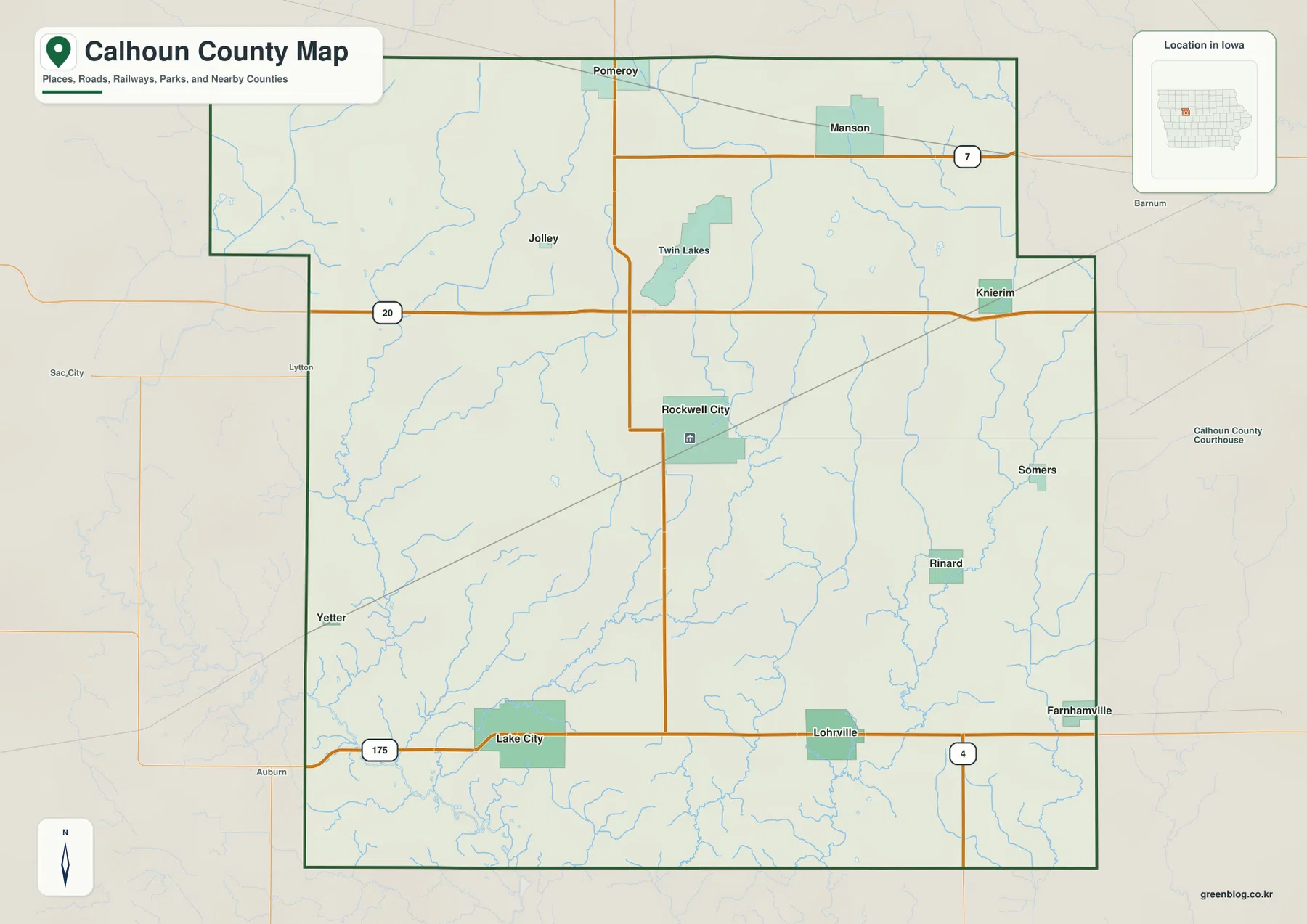
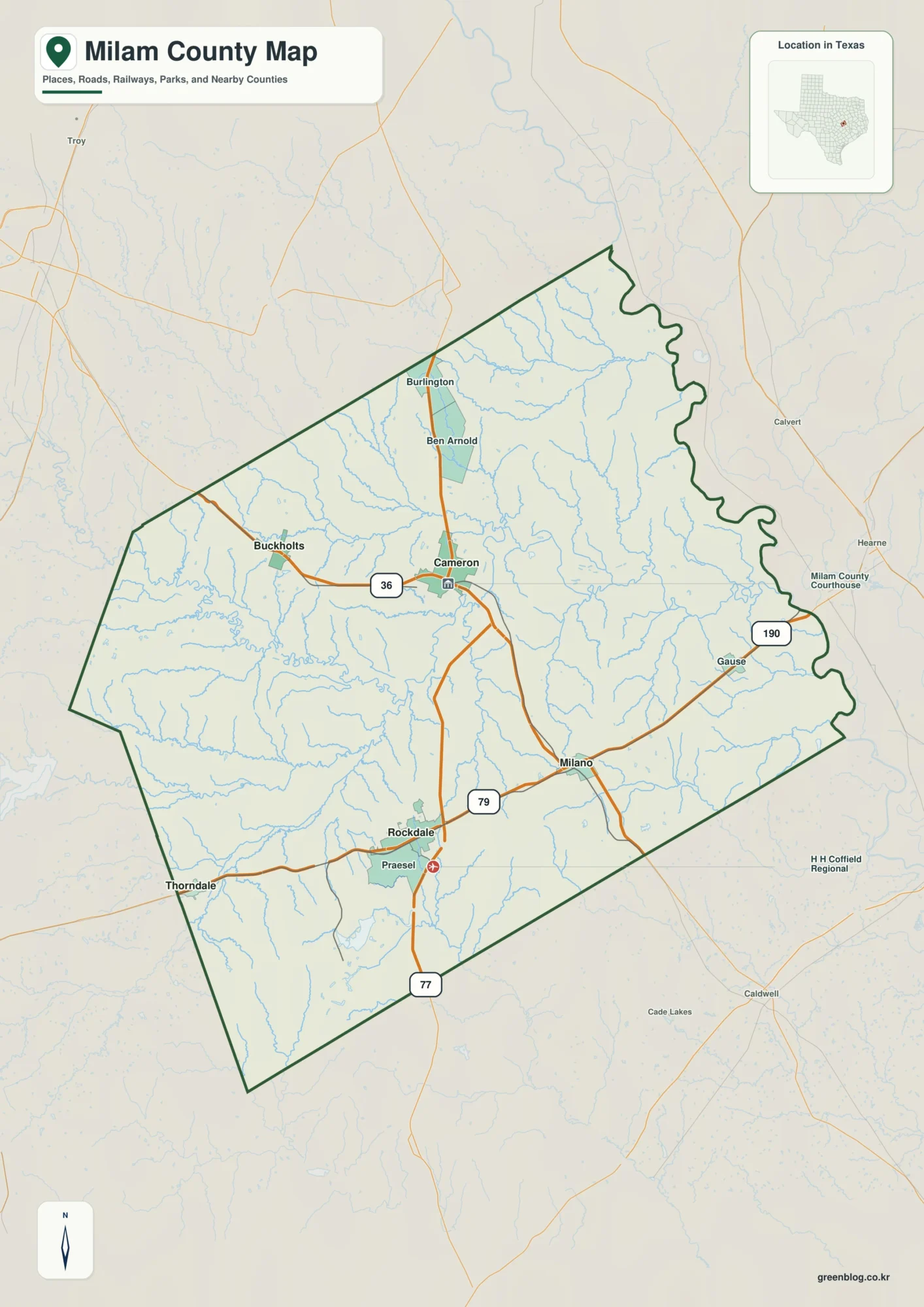
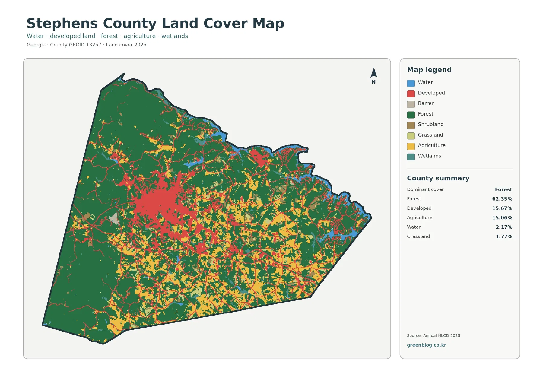
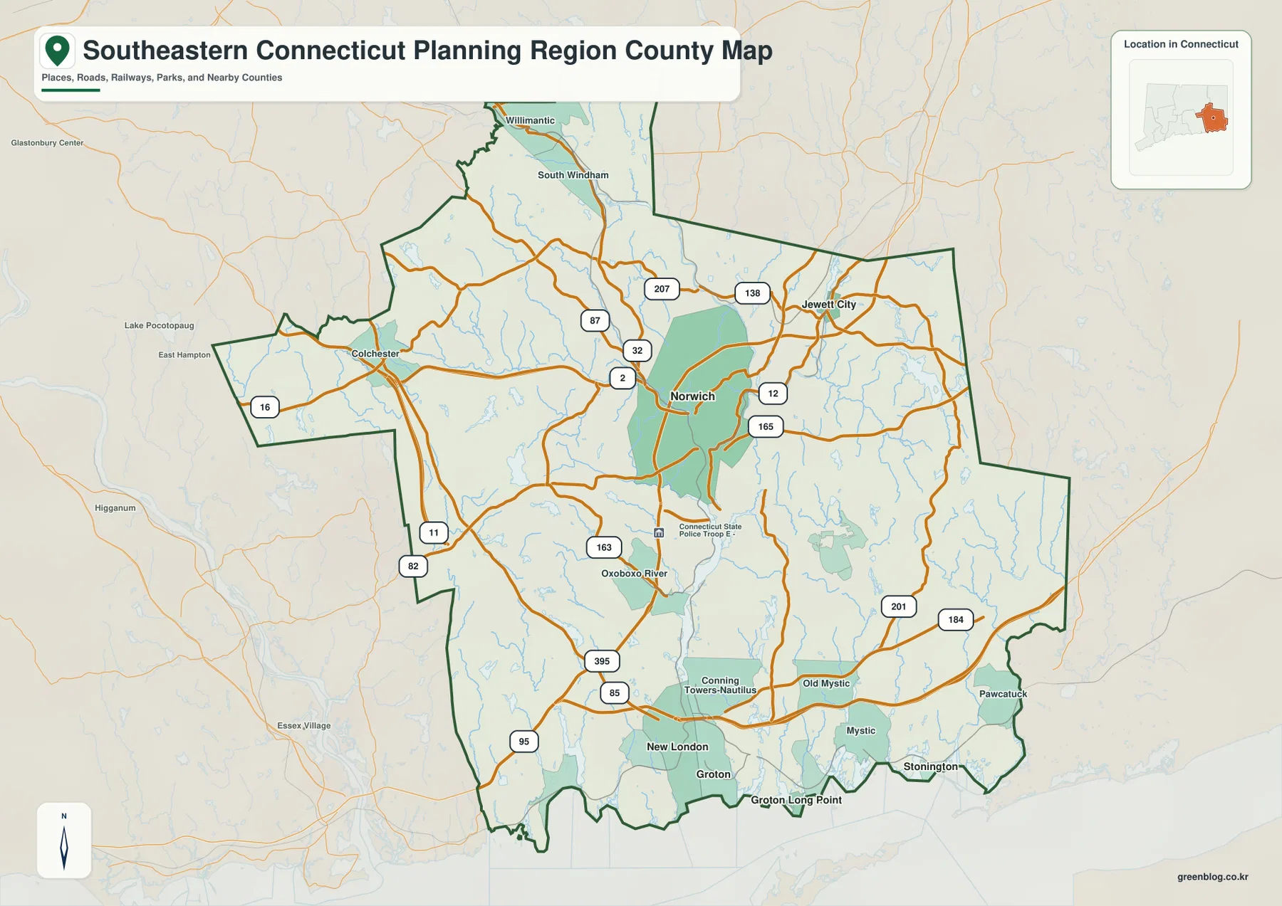
This map of Cherokee County, South Carolina, shows a county whose roads, cities, and waterways are organized around a few clear reference points. Gaffney sits near the north-central part of the county and is surrounded by the densest cluster of numbered roads. Blacksburg is farther northeast, while the southern half stretches away from the main urban labels and contains a wider network of creeks. The page uses a county overview, a city-distribution map, and a terrain-and-water map, and the original A3 high-resolution JPG versions of all three are available together in a downloadable ZIP archive.
The county outline is broad across the north and narrows into a longer southern section. On the overview, Gaffney and East Gaffney form the strongest visual center, with Route 85 crossing the area and several other numbered roads branching away from it. Blacksburg creates a second northern reference point, separated from Gaffney but still connected by the visible road network. Labels outside or near the boundary, including Chesnee, Spartanburg, and Smyrna, help orient the county within the surrounding part of South Carolina without replacing the dark county line as the main boundary reference.
The water map changes the emphasis completely. Broad River is the dominant named river in the northern and central-eastern portion of the county, while Cherokee Creek approaches from the northwest and passes Lake Whelchel before reaching the river system. Kings Creek runs along the eastern side, and the southern half includes Gilkey Creek and Thicketty Creek. Named lakes such as Jolleys Lake, Scruggs Lake, Hammett Lake, and Martin Lake add smaller water references. Reading these features beside the road map makes it easier to understand the county as more than a road-and-city diagram.
Table of Contents
Gaffney as the road center of the county overview
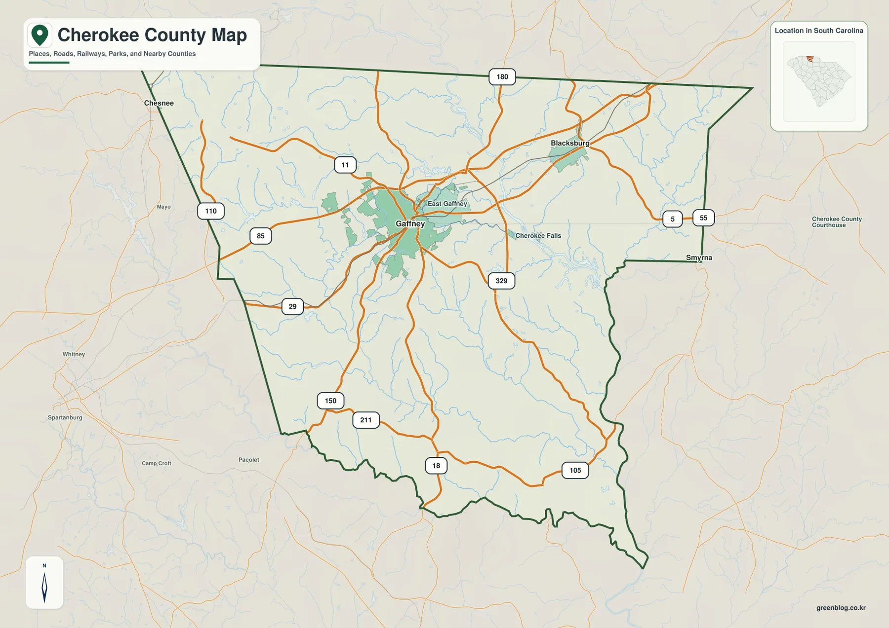
Gaffney is the easiest place to locate on the county overview because the urban area is drawn prominently and several roads meet around it. Route 85 runs west to east across the northern half, while Routes 29 and 11 provide additional references near the city. East Gaffney is labeled immediately to the east, making the central urban area look larger than a single point on the map. For a reader unfamiliar with Cherokee County, Gaffney, East Gaffney, and Route 85 provide a practical starting frame before moving toward the outer boundary.
Blacksburg appears northeast of Gaffney and gives the upper-right portion of the county a distinct center of its own. The road network between the two places makes their relationship clear even without a detailed street layer. Farther east, Routes 5 and 55 are shown near the boundary, while Route 329 is visible in the central-eastern area. Route 180 follows the northern edge. Together, these numbers make it possible to trace the broad northern section without relying on every small local road.
The southern half has a different appearance. Major place labels become sparse, and the county boundary extends farther away from the Gaffney-Blacksburg concentration. Routes 18 and 105 cross the southern portion, while Routes 150 and 211 are visible toward the southwest. The outline bends several times along the lower edge, so the county cannot be read as a simple rectangle or wedge. This longer southern reach is easy to overlook if attention stays only on the busy road cluster around Gaffney.
Several smaller reference names appear around the overview. Cherokee Falls is labeled east of Gaffney, and Smyrna appears near the eastern side of the map. Chesnee is shown beyond the northwestern side, while Spartanburg is farther southwest outside the county. These names are useful for orientation, but the dark green boundary remains the reliable guide for deciding what falls inside Cherokee County and what belongs to the surrounding map background.
A network of light-blue streams is also visible beneath the road layer. Most are not labeled on this overview, but their density shows that the numbered roads cross many small drainage lines. The overview therefore works best as a combined orientation map: it gives the county shape, the main place names, and the strongest road references without attempting the detail of a turn-by-turn road atlas. Exact addresses, parcel lines, and local access roads require a more specialized map.
The Gaffney-Blacksburg pattern on the city-distribution map
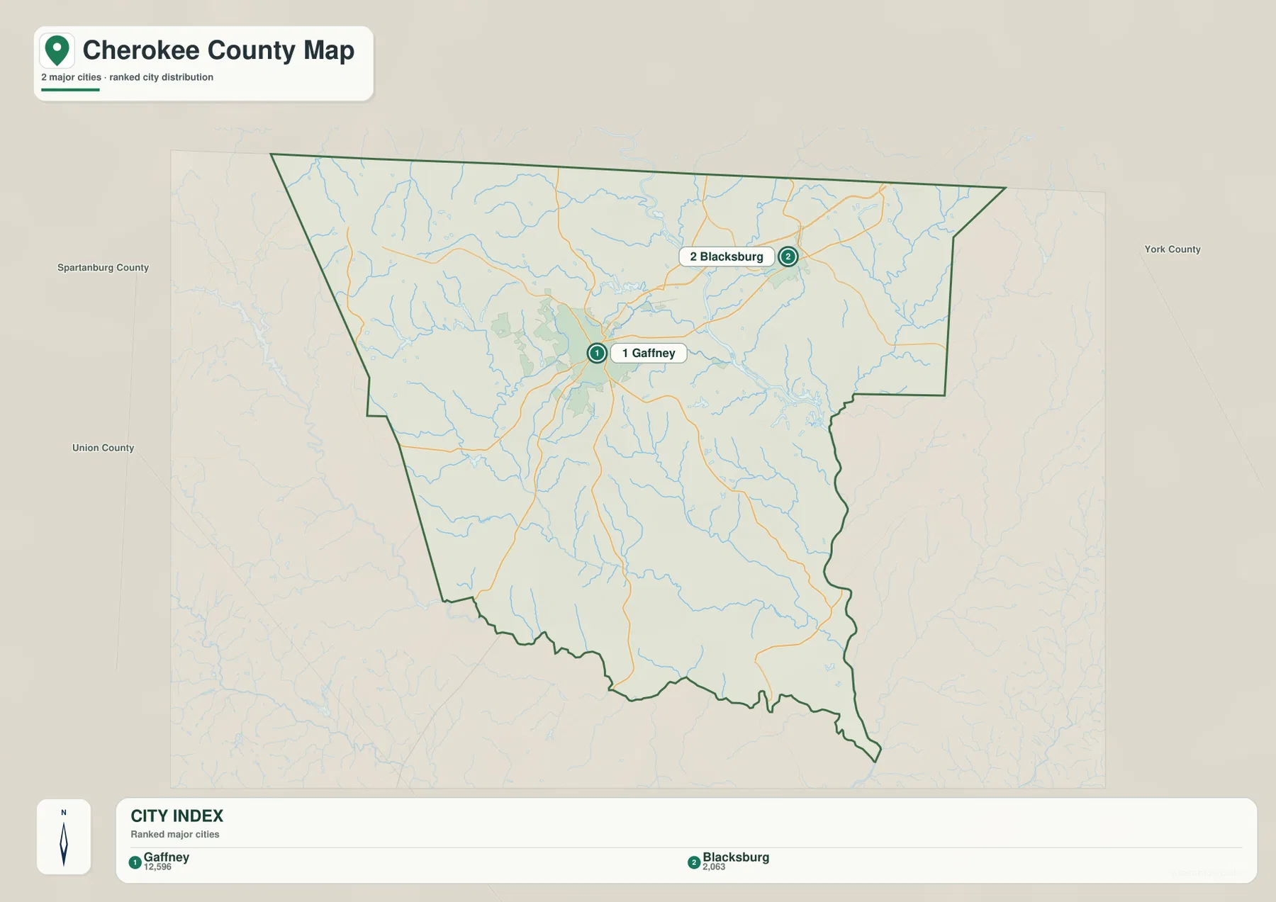
The city-distribution map strips away much of the road detail and highlights two places: Gaffney as number 1 and Blacksburg as number 2. The result is a cleaner view of how the two principal labels are positioned within the county. Gaffney lies closer to the north-central interior, while Blacksburg is noticeably farther northeast. Both are in the northern half, leaving the long southern portion without a comparable highlighted city label on this particular map.
The visual difference between the two urban areas is also clear. Gaffney occupies a larger mapped urban footprint and sits amid more visible road connections. Blacksburg is smaller and more isolated to the northeast. That contrast helps explain why the county overview feels strongly centered on Gaffney even though Blacksburg remains an important orientation point. The city map is especially useful when the goal is to compare location rather than read every numbered route.
Neighboring county labels provide broader context around the edges. Spartanburg County is shown on the western side, Union County toward the southwest, and York County to the east. These references make the position of the two highlighted places easier to understand: Gaffney is set farther into the interior from the western boundary, while Blacksburg lies closer to the northeastern and eastern side of Cherokee County. The map therefore communicates both internal city distribution and the county’s relationship to nearby jurisdictions.
The index should be read as part of this specific map, not as a complete legal list of municipalities or a substitute for current demographic rankings. Its value is visual simplicity. If a presentation, class handout, or county comparison needs only the relative location of Gaffney and Blacksburg, this view removes most of the extra road information. When smaller place names or route numbers matter, the county overview provides the necessary additional context.
Broad River, Cherokee Creek, and the southern creek network
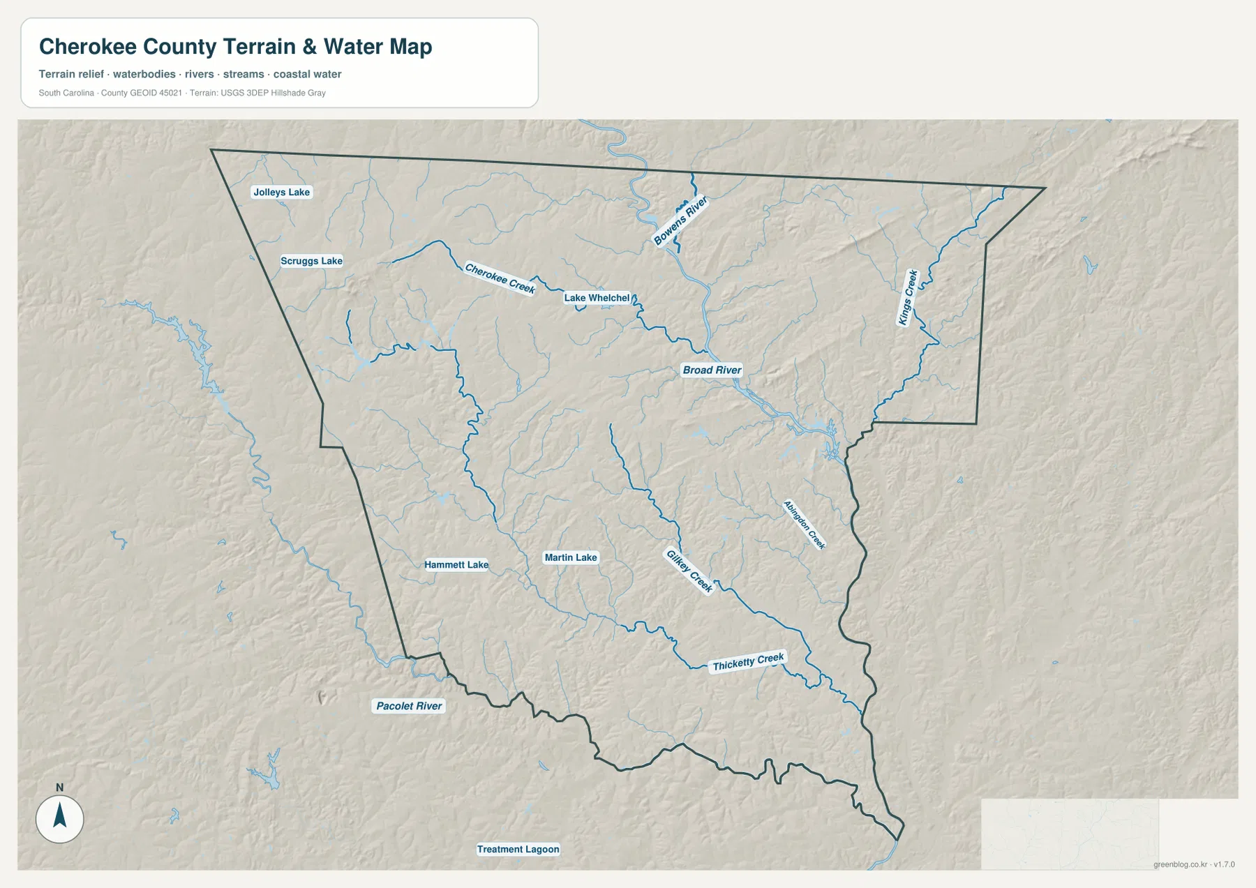
Broad River is the most prominent named river on the terrain-and-water map. It enters the northern part of the county and continues through the central-eastern area, giving the upper half a strong north-to-southeast water reference. Cherokee Creek approaches from the northwest and runs past Lake Whelchel before joining the broader drainage network. On the road overview, this same part of the county is dominated by Gaffney and the numbered routes; here, water becomes the organizing feature.
Kings Creek is labeled along the eastern side and helps define another distinct drainage line near the right-hand boundary. South of the Broad River area, the water network breaks into numerous smaller streams. Gilkey Creek is marked in the south-central portion, and Thicketty Creek runs prominently across the lower part of the county. These southern creeks give readers a useful set of references in an area where the city map has very few labels.
Several named lakes are distributed across the map. Jolleys Lake and Scruggs Lake are in the northwestern portion, while Lake Whelchel lies closer to Cherokee Creek. Hammett Lake appears in the southwest, and Martin Lake is farther toward the center-south. Small unnamed water bodies and tributaries are visible throughout the background. The combination shows that Cherokee County contains many local water features even though only a selection is labeled.
Pacolet River is labeled outside the southwestern edge, providing context for the drainage beyond the county boundary. The map should not be treated as a flood-hazard map, a navigation chart, or a source for water depth and access conditions. Its purpose is geographic: it shows where named rivers, creeks, lakes, and tributary networks sit relative to the county outline. Specialized decisions about flooding, boating, dam operations, or property access require dedicated authoritative products.
The shaded relief adds a gentle sense of terrain without providing precise elevation values. There are no dramatic mountain forms on this image; instead, the background helps the stream valleys and rolling surfaces stand out slightly more than they do on the road map. Readers who need exact elevations or slope measurements should use an elevation dataset. For general county orientation, the combination of shaded land and labeled water features is enough to connect the northern river system with the southern creek network.
Reading roads and waterways together across Cherokee County
Each supplied map makes a different part of Cherokee County visually dominant. The overview emphasizes Gaffney, Blacksburg, and the numbered roads. The city map reduces the scene to the two highlighted places and the county outline. The terrain-and-water map shifts attention to Broad River and the creek network. Moving between the three prevents a common mistake: assuming that the busiest road area is the only useful geographic center of the county.
A road-first reading works well around Gaffney. Start with Route 85, then use Routes 29 and 11 to locate the central cluster and East Gaffney. From there, compare the water map to see the nearby stream network and the Broad River system farther east. Around Blacksburg, the northeastern road pattern can be related to Kings Creek and the eastern drainage. In the southern half, Routes 18 and 105 provide road references while Gilkey Creek and Thicketty Creek provide stronger natural references.
This comparison is also useful for understanding why the long southern section feels different from the north. The north has the two highlighted city labels, a dense road cluster, Broad River, and several named lakes. The south contains fewer major place labels but more room for long creek courses and a more open road pattern. The county is therefore easier to remember as two connected zones: a busier north centered on Gaffney and Blacksburg, and a longer southern reach where roads and creeks become the main orientation tools.
- County overview: use it for Gaffney, Blacksburg, East Gaffney, the main numbered roads, surrounding place names, and the full county boundary.
- City distribution: use it for a clean comparison of the relative position of Gaffney and Blacksburg.
- Terrain and water: use it for Broad River, Cherokee Creek, Kings Creek, Gilkey Creek, Thicketty Creek, named lakes, and the overall drainage pattern.
Frequently Asked Questions
Where are Gaffney and Blacksburg located within Cherokee County?
Gaffney is near the north-central part of the county, while Blacksburg is farther northeast. The city-distribution map highlights the two places clearly, and the county overview adds the major roads that connect their broader areas.
Is Broad River in the same part of the county as Thicketty Creek?
No. Broad River is a major feature in the northern and central-eastern portion of the map. Thicketty Creek is much farther south and runs across the lower part of the county. Comparing the two provides a simple way to distinguish the northern river system from the southern creek network.
What is included in the downloadable Cherokee County ZIP?
The archive contains the A3 high-resolution JPG versions of the county overview, the Gaffney-Blacksburg city-distribution map, and the terrain-and-water map with the major named rivers, creeks, and lakes. The WEBP versions are used as previews within the article.
Map File Information
Download the original A3 high-resolution JPG files used for the Cherokee County maps on this page in one ZIP archive.
- Included Files: county overview, city distribution map, terrain and water map
- Printable Size: 3638×2572 px each
- File Type: JPG
Related Maps
Sources and Reference Data
General county information is available from the South Carolina Association of Counties County Information. County boundary data can be checked through the U.S. Census Bureau TIGER/Line Shapefiles. River, creek, and hydrography references are available from USGS National Hydrography, while statewide terrain and geology background can be reviewed through the South Carolina Geological Survey.
Green Map creates custom-edited map images using open geographic data sources such as geoBoundaries, Natural Earth, OpenStreetMap, and government open data.
These maps are edited visual materials, not raw data files, and are provided for education, documents, presentations, and graphic reference.