The Hsinchu City map collection is designed for readers who need a clear view of the city’s three administrative districts and its relationship with nearby areas. Hsinchu City sits on Taiwan’s northwestern coast, facing the Taiwan Strait and bordered by Zhubei City, Baoshan Township, and Zhunan Township. Because the city is compact but divided into three differently shaped districts, a visual map is often more useful than a simple written description.
This resource includes color, black and white, and outline versions prepared for A3 printing. The files are intended for classroom handouts, presentation slides, blog graphics, infographic projects, regional comparison materials, and editable visual work. The color version emphasizes district differences, the basic version keeps labels and boundaries easy to scan, and the outline version provides a clean base for custom notes, markers, or coloring activities.
Hsinchu City covers about 104 square kilometers and is divided into East District, North District, and Xiangshan District. North District occupies the northwestern urban and coastal area, East District extends across the central and eastern side of the city, and Xiangshan District stretches southward along the coast. The city is also widely associated with science, research, and semiconductor industries, especially around Hsinchu Science Park. For students, teachers, bloggers, and presentation creators, the Hsinchu City map helps connect these district names with their actual positions.
Table of Contents
Hsinchu City Map Overview
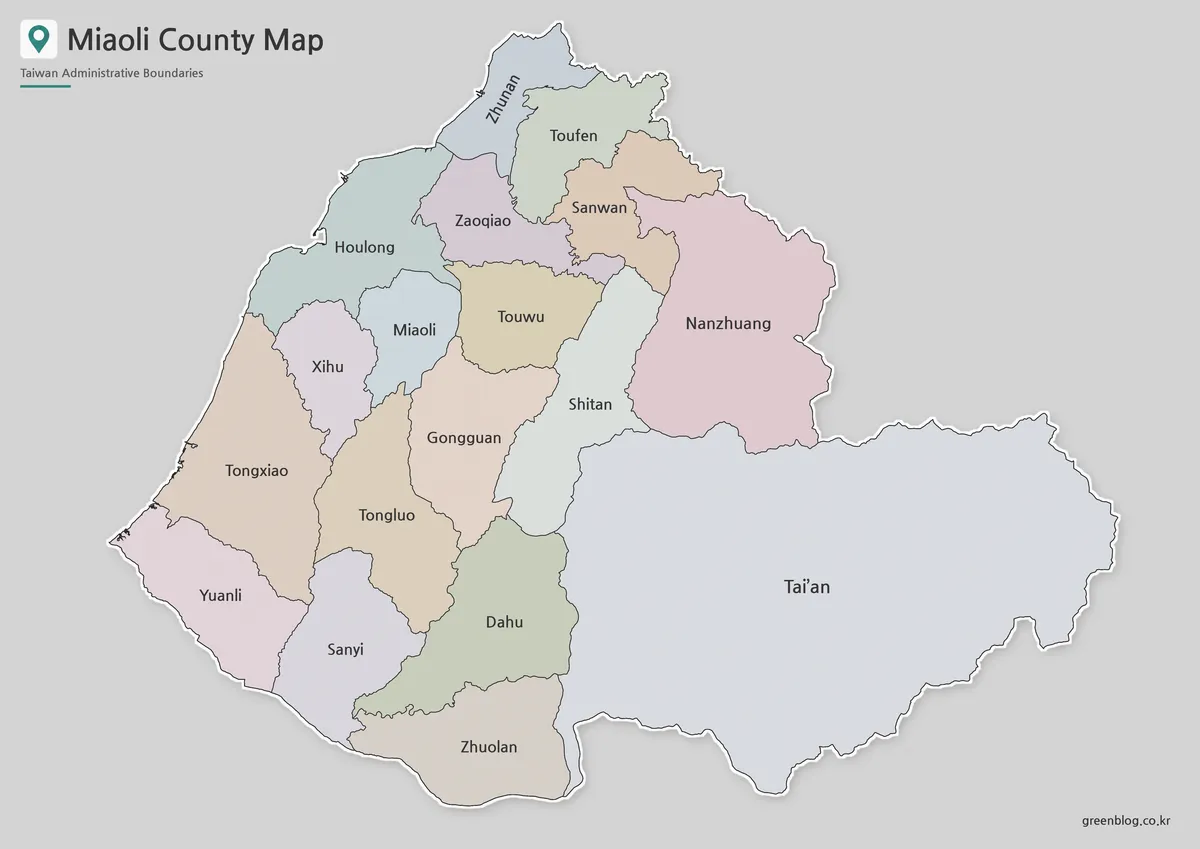
The city’s administrative layout is simple in number but not in shape. East District, North District, and Xiangshan District form three distinct areas, while the surrounding boundaries connect Hsinchu City with two different counties. Zhubei City and Baoshan Township belong to Hsinchu County, while Zhunan Township belongs to Miaoli County.
The western edge faces the Taiwan Strait, giving the city a clear coastal boundary. North District and Xiangshan District both extend toward the coast, while East District forms the inland side of the city. This makes the Hsinchu City map useful for understanding not only the district structure but also the city’s coastal and inland orientation.
Color District Map for Visual Comparison
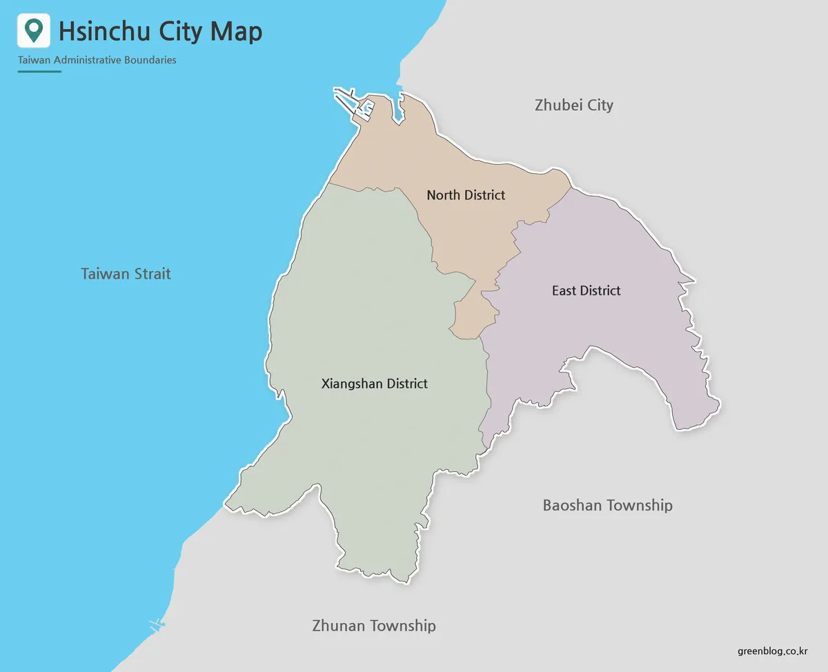
The color version separates the three districts so their relative size and position are easier to compare. North District appears in the northwestern part of the city, East District occupies the central and eastern area, and Xiangshan District extends farther south than the other two.
On the Hsinchu City map, color is especially helpful because the three districts meet within a compact urban area but follow very different outer boundaries. This version works well for classroom presentations, regional comparison slides, city guides, and blog posts where readers need to recognize each district quickly.
Black and White Printable Map
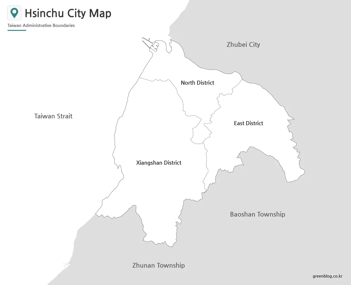
For reports, worksheets, and handouts, the black and white version keeps the focus on district names and boundary lines. Removing color makes the layout cleaner when the map is printed on a standard office printer or inserted into a document with other graphics.
The labeled Hsinchu City map is also useful when comparing the city with Hsinchu County. Readers can see that Zhubei City and Baoshan Township border Hsinchu City without being part of it. This distinction is important because the city and county share the Hsinchu name but are separate administrative areas.
Blank Outline Map for Editing
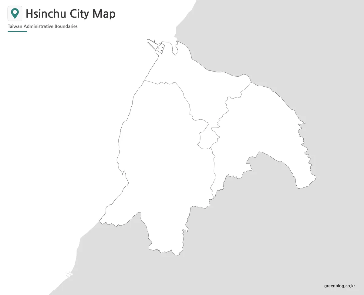
The outline map keeps the outer city boundary and the internal lines between East District, North District, and Xiangshan District. Without color or heavy background elements, it provides a flexible working base for annotations.
Users can add science park locations, coastal features, travel routes, district statistics, classroom labels, or infographic data. The Hsinchu City map outline also works well for student coloring exercises, regional planning notes, and presentation graphics that require a custom color scheme.
Practical Uses for the Map Collection
Teachers can use the maps to explain Taiwan’s city-level administrative structure, especially the difference between Hsinchu City and Hsinchu County. Students can compare district positions, identify the coastal side of the city, and label neighboring municipalities as part of geography assignments.
Presentation creators may use the map to introduce Hsinchu Science Park, the technology industry, or northwestern Taiwan. Bloggers and designers can place the labeled or outline version inside regional guides, infographics, or visual comparison posts. The A3 layout also gives users enough room to enlarge the map while keeping district labels readable.
Frequently Asked Questions
Is Hsinchu City part of Hsinchu County?
No. Hsinchu City is a separate provincial city. Zhubei City and Baoshan Township belong to Hsinchu County and border Hsinchu City.
How many districts are shown on the Hsinchu City map?
The map includes three districts: East District, North District, and Xiangshan District.
Which version is best for classroom printing?
The black and white map is the cleanest choice for worksheets and handouts. The color map is better for presentations, while the outline version works well for labeling and coloring activities.
Can I add my own information to the outline map?
Yes. The blank boundary layout gives space for routes, city markers, statistics, district colors, and infographic notes.
Download Information
Choose the version that best fits your project. The collection includes separate layouts for visual comparison, document printing, classroom activities, and custom graphic work.
Map File Information
This download includes printable Hsinchu City map versions for educational use, presentation design, document printing, and editable graphic projects.
- Included Versions: Color map, black and white map, outline map
- Printable Size: A3 layout
- File Type: Image files
- Intended Use: Classroom handouts, presentations, blog graphics, infographic editing, and printable reference materials
Related Maps
Additional Resources
- National Land Surveying and Mapping Center : Taiwan’s official mapping service provides electronic maps and administrative boundary information for checking Hsinchu City and nearby areas.
Green Map creates custom-edited map images using open geographic data sources such as geoBoundaries, Natural Earth, OpenStreetMap, and government open data.
These maps are edited visual materials, not raw data files, and are provided for education, documents, presentations, and graphic reference.