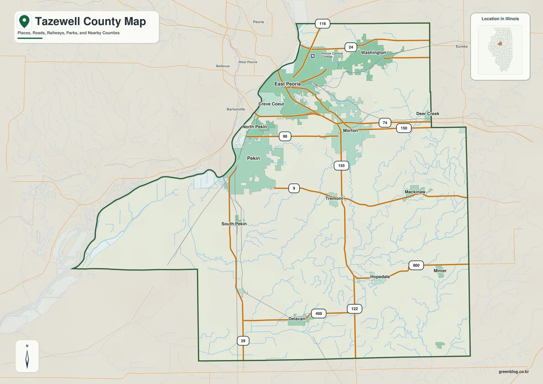
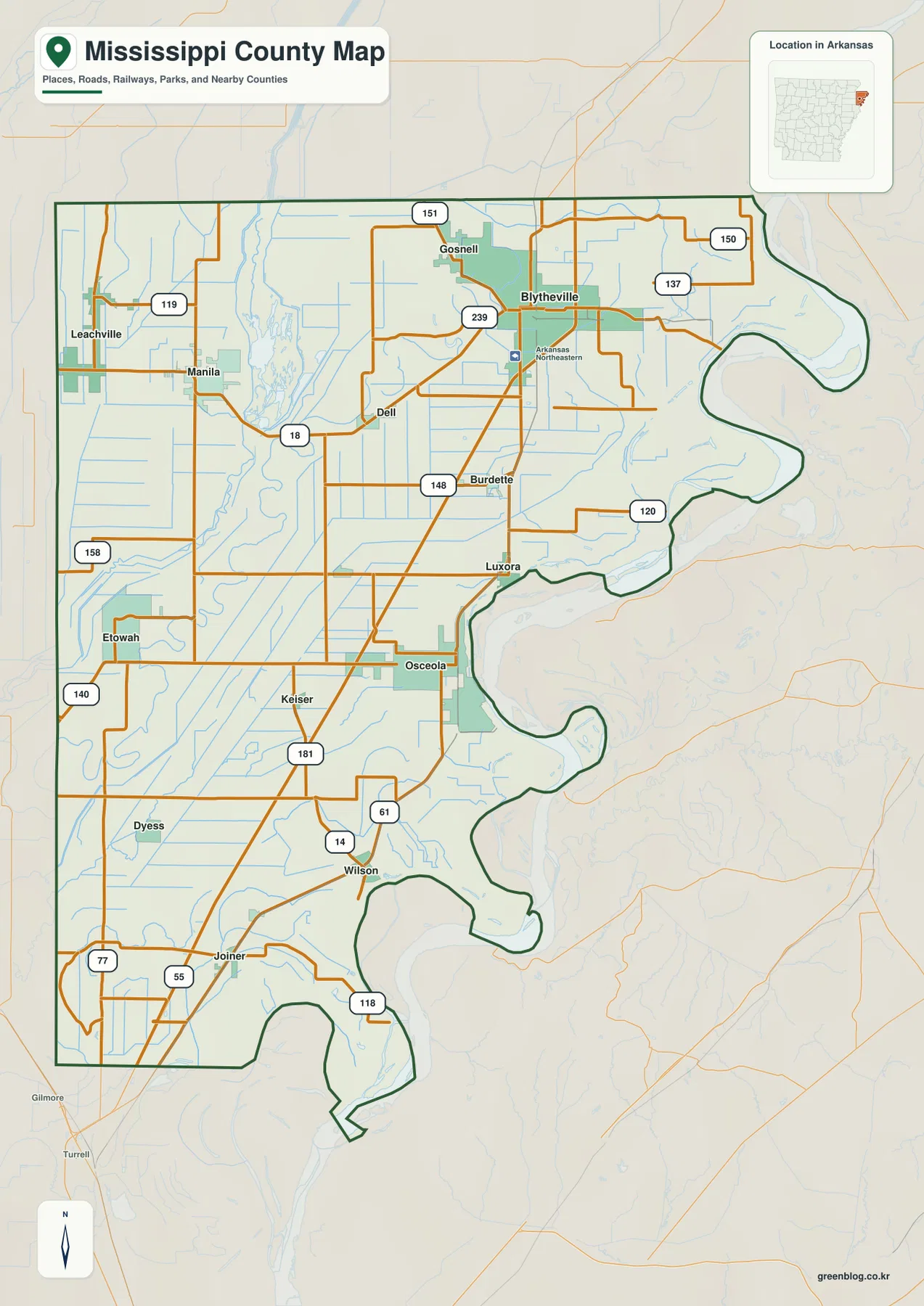
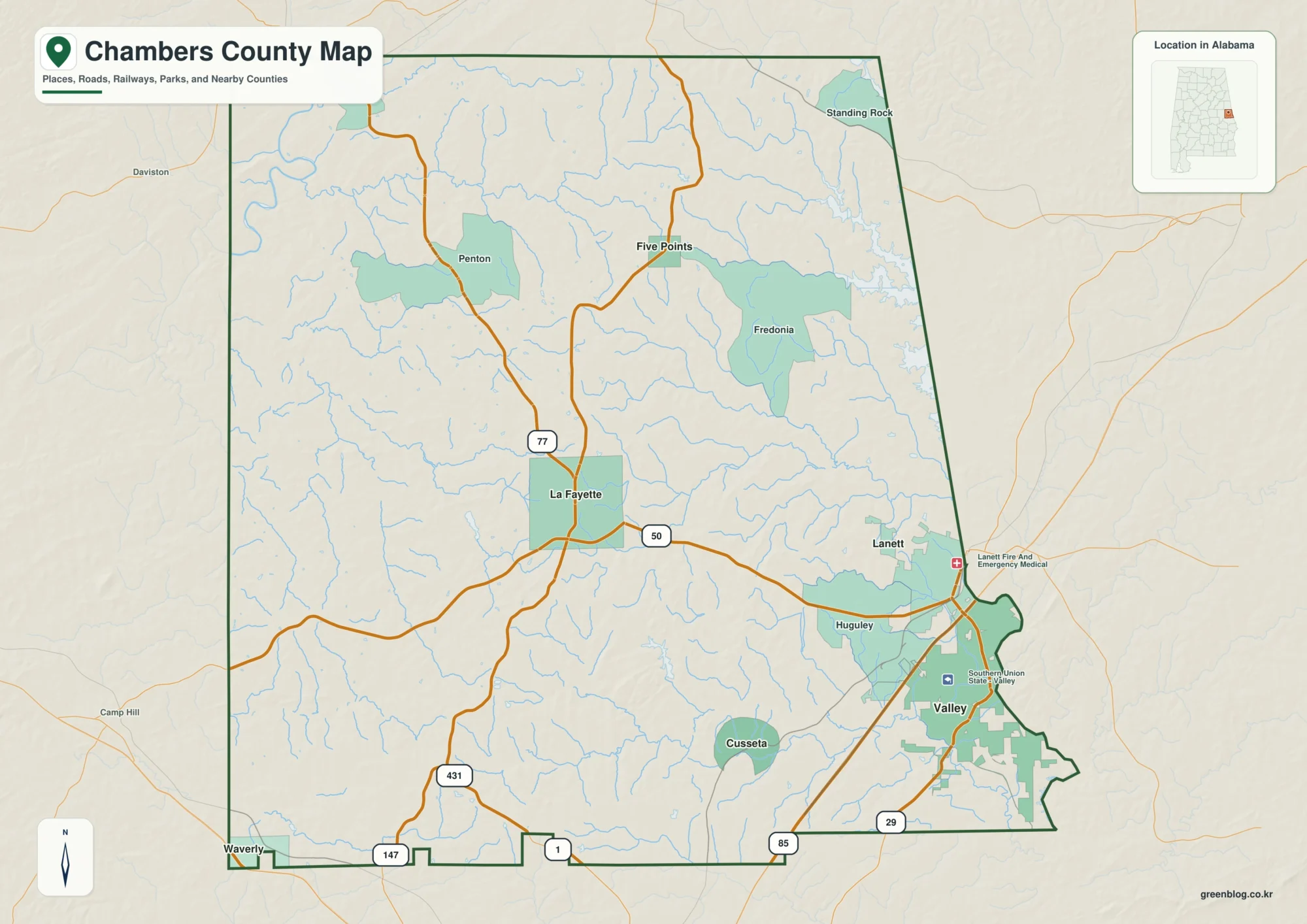
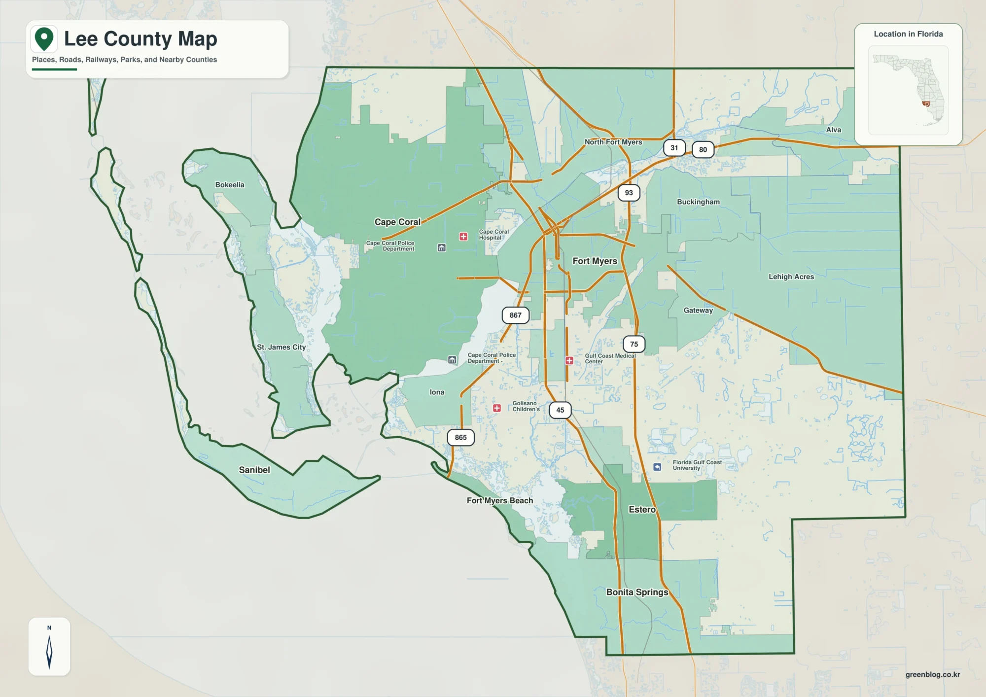
Knott County lies in the Appalachian mountains of southeastern Kentucky, where Hindman and Pippa Passes sit among narrow valleys, branching creeks, and winding state roads. KY 80, 550, 7, 15, 160, 582, 721, and 899 do not form a simple grid. They bend around ridges and follow lower ground, so the shape of the road network makes much more sense when it is compared with the streams and elevation surface.
The map files on this page can be downloaded as a ZIP containing four high-resolution JPGs. The web images are convenient for a quick look at towns and highways, while the full-size files are better for reading smaller creek labels, comparing Carr Fork Lake with nearby roads, or printing the county at a larger size.
Table of Contents
Hindman and Pippa Passes anchor two different mountain valleys
Hindman appears slightly west of the county’s center and serves as the clearest orientation point on the general map. KY 80 and KY 550 extend toward the west and northwest, while KY 899 heads into the mountains to the southeast. Pippa Passes sits farther east in a separate valley, with curving local and state routes connecting it to the surrounding ridges and creek corridors.
Across the southern part of the county, KY 15 and KY 160 pass close to the boundary and KY 582 crosses the south-central interior. KY 7 runs near the eastern side, while KY 721 reaches into the southwest. The roads look complicated at first, but their curves repeatedly match the lower passages between ridges rather than cutting straight across the terrain.
The county boundary is equally irregular. Floyd County lies to the north, Magoffin County to the northeast, Pike County to the east, Letcher County to the west, and Breathitt County to the southwest. Because the boundary bends around the mountain landscape, a route that looks close to a neighboring county on a small map may still require a long valley approach before it crosses the line.
The two-city pattern reflects a county divided by ridges
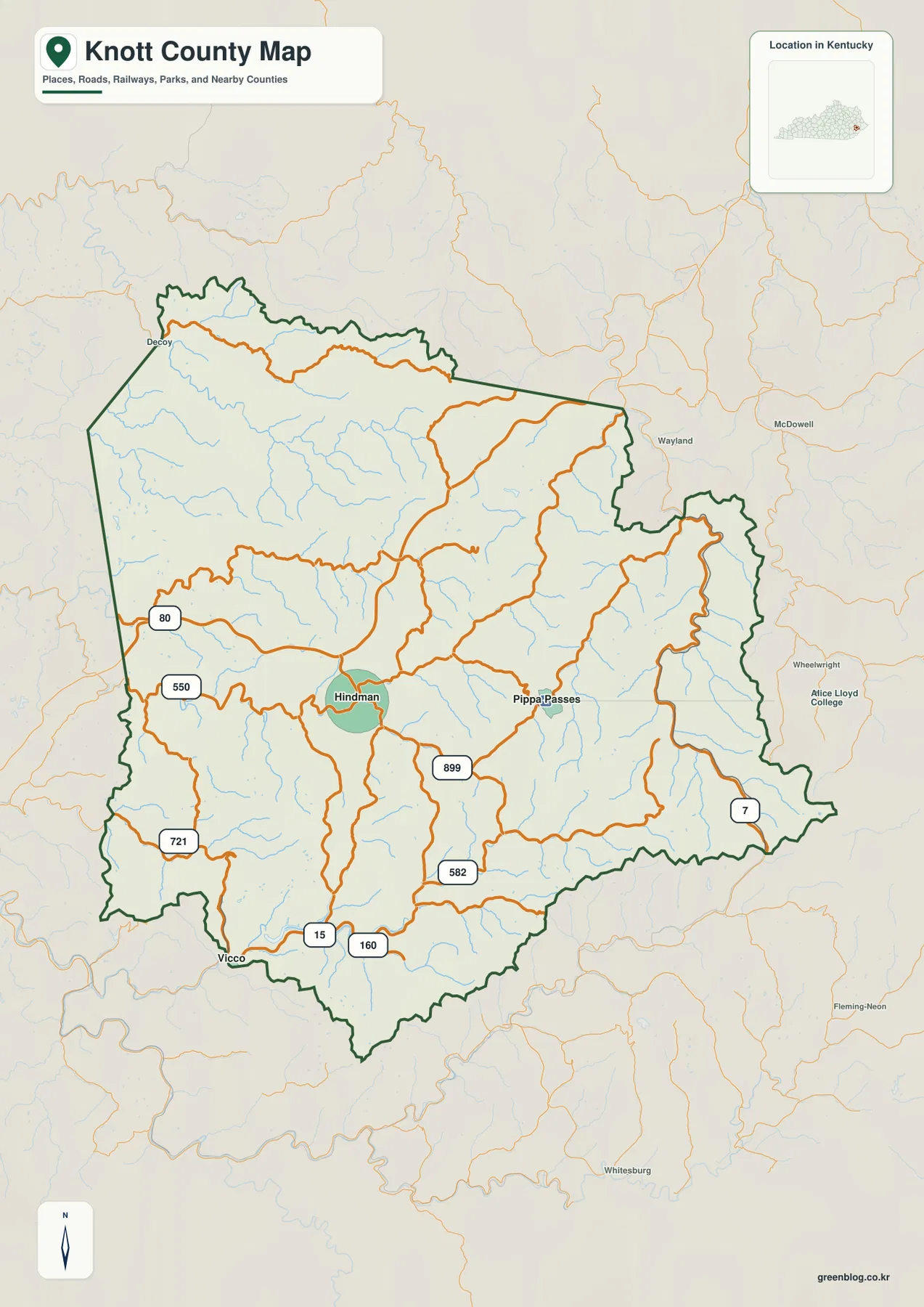
The city index highlights only two major places: Hindman and Pippa Passes. The map prints reference values of 790 for Hindman and 450 for Pippa Passes. Those figures are best treated as values contained in the supplied city map rather than as claims about the latest population estimate. Their main purpose here is to show which settlements stand out most clearly within the county.
Hindman is easier to use as a starting point because several numbered roads converge nearby. Pippa Passes is more enclosed by the eastern mountain valleys and has a different approach pattern. Even though both places are in the same county, ridge after ridge separates the valleys, so actual driving depends heavily on the available creek corridor and the road that occupies it.
This distribution is a useful reminder that Knott County is not organized like a flat county with several towns spread across open land. It is better understood as a collection of narrow valley communities linked by mountain roads. Starting with Hindman, then locating Pippa Passes, Carr Fork Lake, Decoy, or the Beaver Creek side of the county gives the rest of the map a clearer structure.
Troublesome Creek and the Beaver Creek forks trace the lower passages
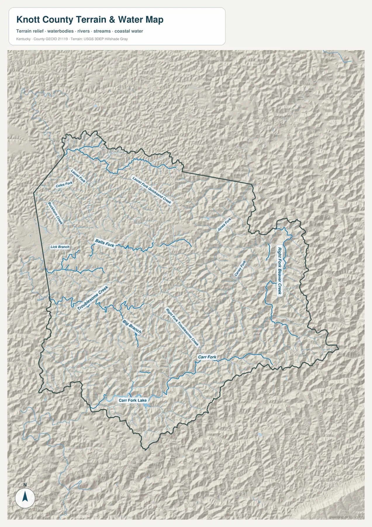
The terrain-and-water map is dense with named streams. Troublesome Creek and Right Fork Troublesome Creek cross the western and central parts of the county, while Laurel Fork, Coles Fork, Buckhorn Creek, Lick Branch, and Balls Fork branch through the northwest and north-central ridges. Big Branch adds another south-central drainage line.
On the eastern side, Right Fork Beaver Creek forms a long north-south valley. Jones Fork and Caney Fork join the network nearby. These waterways help explain why many roads bend in similar directions. In steep Appalachian terrain, valleys provide the broadest continuous passages, so roads and communities frequently occupy the same low corridors even when they do not follow a stream bank exactly.
The water layer is intended for geographic reference, not real-time hazard decisions. It does not provide current stream stages, flood forecasts, bridge conditions, parcel boundaries, or legal access information. After heavy rain or during a flood event, current agency alerts and road-closure information should take priority over this static map.
Carr Fork Lake provides a clear landmark in the southern mountains
Carr Fork Lake stands out near the southern part of Knott County, with Carr Fork extending eastward from the lake. In a county filled with small branching streams, the lake is one of the easiest features to recognize at a glance. Comparing it with KY 15, KY 160, and KY 582 also helps place the southern road network relative to Hindman.
Kentucky State Parks identifies Carr Creek State Park at Sassafras, and the Knott County Fiscal Court site emphasizes the county’s mountain scenery along with horseback and ATV trail opportunities. Those local resources give useful context to the map: the lake and surrounding valleys are not just topographic features but part of a landscape used for recreation and travel.
The county map does not show campground loops, trail details, boat-access conditions, or current operating information inside the park. For a visit, use this map to understand the county-scale location first, then check the official park page and current transportation information for site-level details.
Elevation rises from about 210 to 717 meters across tightly packed ridges
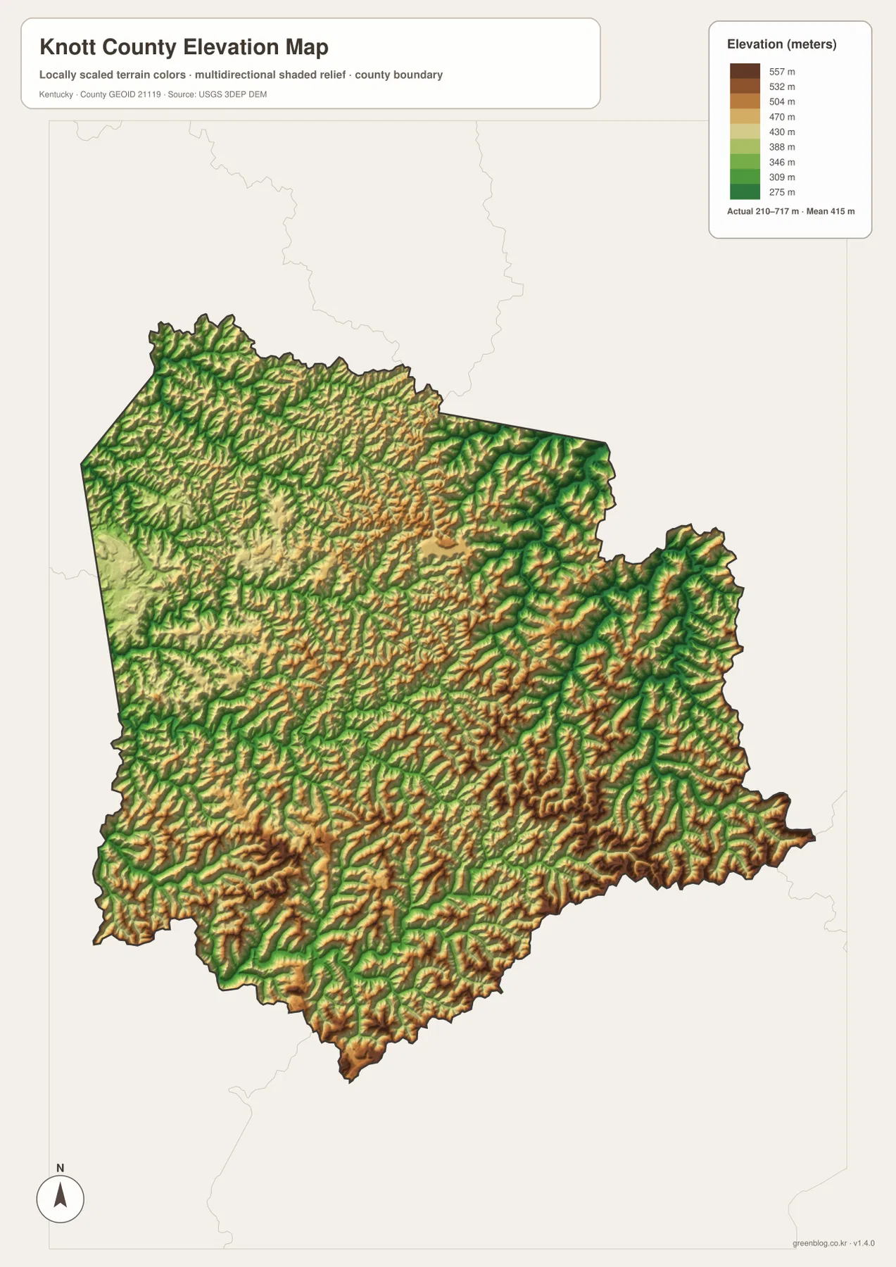
The elevation image reports an actual range of about 210 to 717 meters and a mean of 415 meters. Lower green corridors repeatedly line up with the valleys of Troublesome Creek, the Beaver Creek system, and Carr Fork. Brown and tan ridges rise between those channels, producing a dense texture of narrow valleys and steep intervening high ground.
Higher ridges are especially prominent across the south and southeast, while the eastern Beaver Creek corridor appears as a lower route bordered by rapidly rising slopes. The northwest is rugged as well, with multiple drainage valleys cutting through the uplands. This pattern fits the road map, where many highways curve rather than crossing the county in straight lines.
A mean elevation of 415 meters does not capture the full contrast. The difference between the lowest and highest mapped values exceeds 500 meters, so local relief can change quickly over short distances. The elevation surface is suitable for broad comparison, but it is not survey-grade data and should not be used for engineering design, parcel elevation, or site-specific construction decisions.
Choose the map by the question you need to answer
For general orientation, start with the county map and locate Hindman, Pippa Passes, KY 80, KY 550, KY 7, and the southern highway corridor. If the destination is Carr Fork Lake or a named creek valley, switch to the water-and-terrain image and match the same area. The elevation image adds the missing vertical context by showing where low corridors are bordered by much higher ridges.
The city index is intentionally simpler and works best when the only question is where the principal settlements are located. The county and water maps carry more detail for small roads and streams. For classroom use, trip planning, printed reference, or a regional overview, viewing two or more of the files together is usually more informative than relying on a single layer.
These are static reference maps. Road construction, closures, weather impacts, and park operations can change after the map was produced. Before driving into a remote valley or visiting a recreation area, check current Knott County, Kentucky transportation, and park information in addition to the downloaded map.
Frequently Asked Questions
What is the easiest place to use as an orientation point in Knott County?
Hindman is the easiest starting point. It sits near several important state routes, including KY 80, KY 550, and KY 899. From Hindman, Pippa Passes can be located to the east and Carr Fork Lake to the south, which quickly establishes the county’s main geographic relationships.
Which file shows Carr Fork Lake and Troublesome Creek most clearly?
The terrain-and-water map is the best choice. It labels Carr Fork Lake, Carr Fork, Troublesome Creek, Right Fork Troublesome Creek, Right Fork Beaver Creek, and several smaller tributaries. Pairing it with the elevation map shows how those waterways occupy lower valleys between steep ridges.
Can the 210–717 meter elevation map be used for surveying or engineering?
No. The map is intended for county-scale terrain comparison. Parcel elevations, engineering design, flood studies, and construction decisions require current source data and professional measurements rather than this generalized elevation surface.
Map File Information
Download the Knott County general map, city map, terrain-and-water map, and elevation map as high-resolution JPG files.
- Included Files: Use only the versions confirmed in the article and supplied images
- File Type: Use the confirmed download contents
- Intended Use: Printing, education, presentations, and map-based projects
Related Maps
Sources and references
County context was checked against the Knott County Fiscal Court, the Kentucky.gov Knott County profile, and Kentucky State Parks information for Carr Creek. Boundary and road reference data can be checked through U.S. Census Bureau TIGER/Line, hydrography through USGS National Hydrography, and elevation through the USGS 3D Elevation Program.
Green Map creates custom-edited map images using open geographic data sources such as geoBoundaries, Natural Earth, OpenStreetMap, and government open data. These maps are edited visual materials, not raw data files, and are provided for education, documents, presentations, and graphic reference.