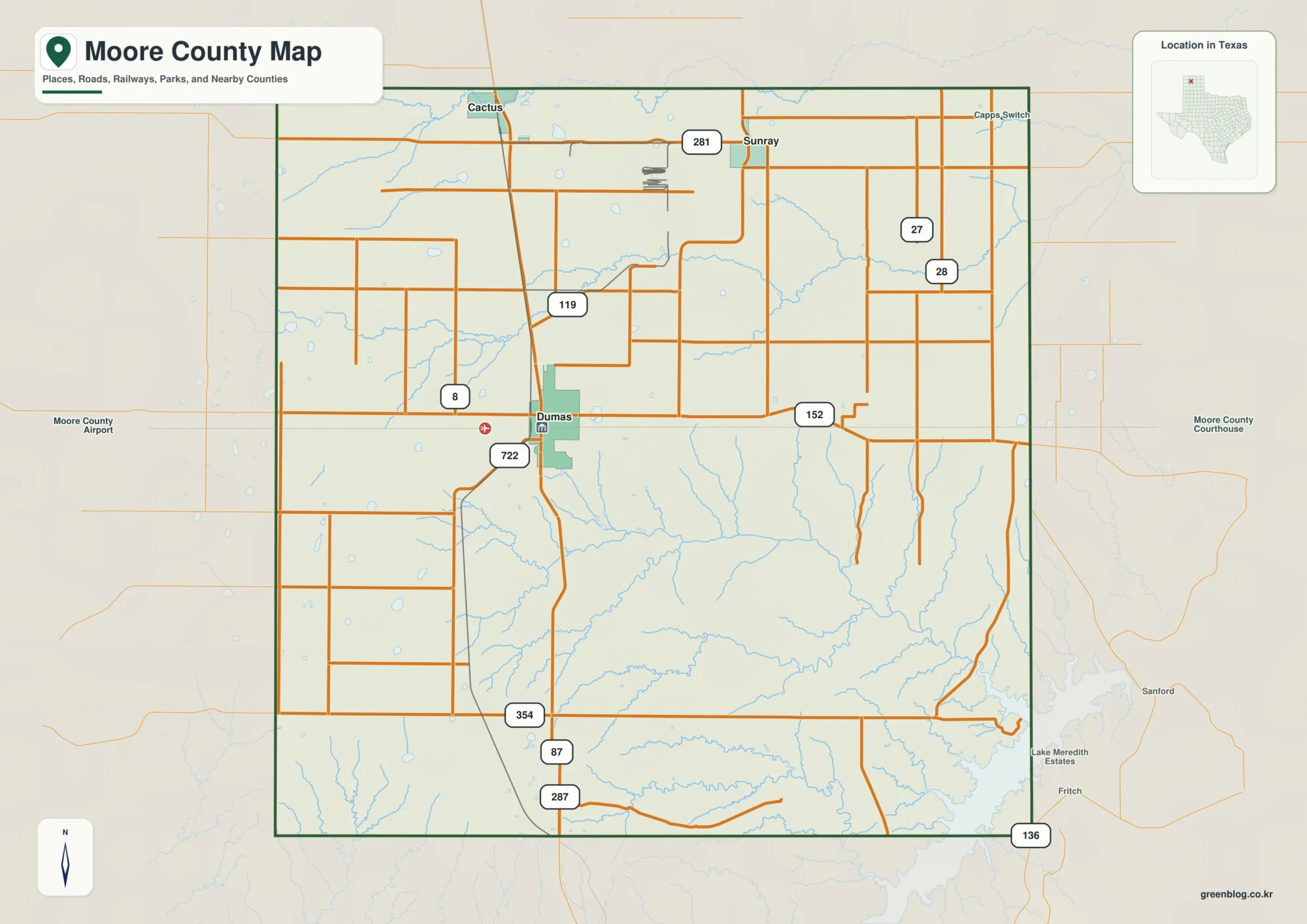
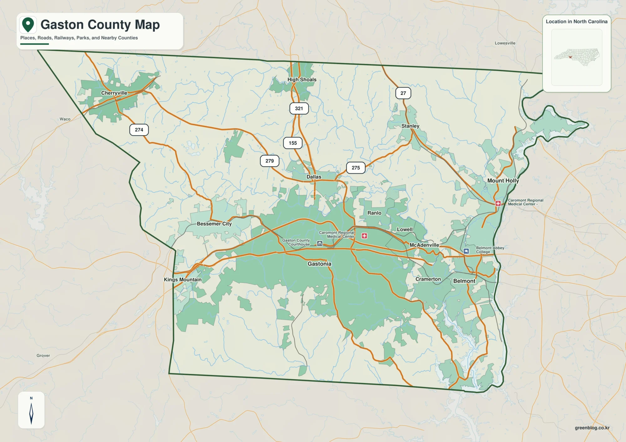
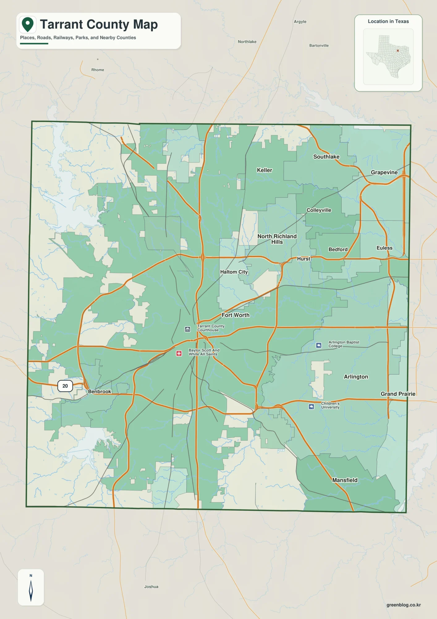
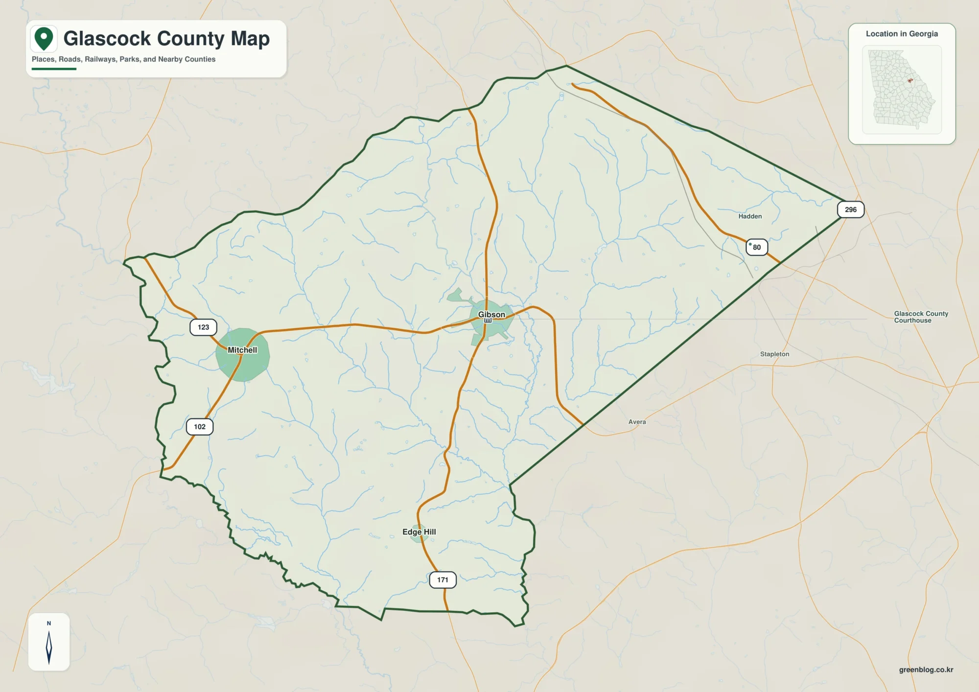
The Walthall County Mississippi map centers on Tylertown, then places Dexter in the north, Salem in the west, Sandy Hook in the east, and Lexie in the southeast. The Bogue Chitto River, Louisiana line, pasture, and pine hills divide a predominantly rural southwestern county.
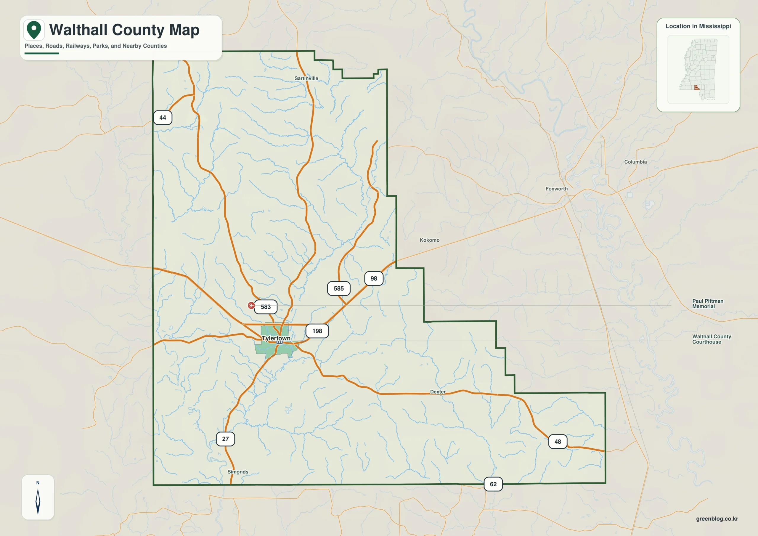
Walthall County Mississippi map download
The WebP preview is optimized for the page, while the button preserves the original high-resolution JPG for printing and reuse.
- File: County reference map
- Format: JPG
- Print layout: A3
Quick Facts
- State and identifier: Mississippi, Walthall County; FIPS 28147
- County seat: Tylertown
- Selected map labels: Tylertown, Dexter, Salem, Sandy Hook, Lexie
- 2020 census population: 13,884
- July 2025 population estimate: 13,928
- 2025 Gazetteer area: 403.928 sq mi land and 0.477 sq mi water
- 2020 land-area density: 34.4 residents per sq mi
- Primary route references: US 98, MS 27, MS 48, and MS 583
- Landscape references: Bogue Chitto River, Magee Creek, pine hills, pasture, and the Louisiana state line
The decennial count and July 2025 estimate use different reference dates. Land and water measurements come from the 2025 Gazetteer. The density of 34.4 residents per square mile divides the 2020 population by 2025 land area and does not imply an even distribution among cities, farms, forest, or wetland.
Reading the Walthall County Mississippi map
US 98 connects Tylertown with Pike County to the west and Marion County to the east. MS 27 leads north toward Lawrence County and south toward Louisiana, while MS 48 supports the Salem approach. River access lanes, farm drives, and private pasture roads are omitted.
Boundary, Water, and Terrain
The Bogue Chitto River crosses southward through floodplain woods and sandy reaches. Short tributaries, gentle pine ridges, and pasture repeat on either side. Water acreage is exceptionally small, so the river line and bridge locations provide more useful orientation than any lake outline.
Although Bogue Chitto River and Magee Creek is geographically important, only about 0.1 percent of the county’s 404.405 square miles is recorded as water. Bogue Chitto River and Magee Creek should be interpreted with roads and settlement labels rather than as a continuous water landscape. The spacing from Tylertown to Dexter, then toward Lawrence, gives the map a practical scale. This overview clarifies Bogue Chitto River and Magee Creek, but it is not a parcel survey or a turn-by-turn navigation map.
Settlement and Regional Context
Tylertown concentrates courthouse, school, and retail functions, while smaller communities support agricultural and forestry areas. A history of dairying and livestock remains visible in land use. The July 2025 estimate is nearly unchanged from the 2020 base, one of the batch's most stable trends.
Practical Map Uses
- Orient east and west from Tylertown on US 98
- Compare Bogue Chitto bridges with the road network
- Use Salem, Sandy Hook, and Lexie for outer areas
Frequently Asked Questions
Does Walthall County border Louisiana?
Yes. Its southern side meets Washington and St. Helena parishes. MS 27 and local roads provide state-line approaches.
How does Bogue Chitto River complement Tylertown when orienting the map toward Lawrence?
A symbol at Tylertown fixes one named point; Bogue Chitto River adds a broader frame that can be followed toward Lawrence without treating every local road as mapped.
Sources
- U.S. Census Bureau QuickFacts
- U.S. Census Bureau 2025 Gazetteer Files
- Mississippi Department of Transportation official highway map
- Regional landscape or institution reference
Related County Maps
Green Map creates custom-edited map images using open geographic data sources such as geoBoundaries, Natural Earth, OpenStreetMap, and government open data.
These maps are edited visual materials, not raw data files, and are provided for education, documents, presentations, and graphic reference.