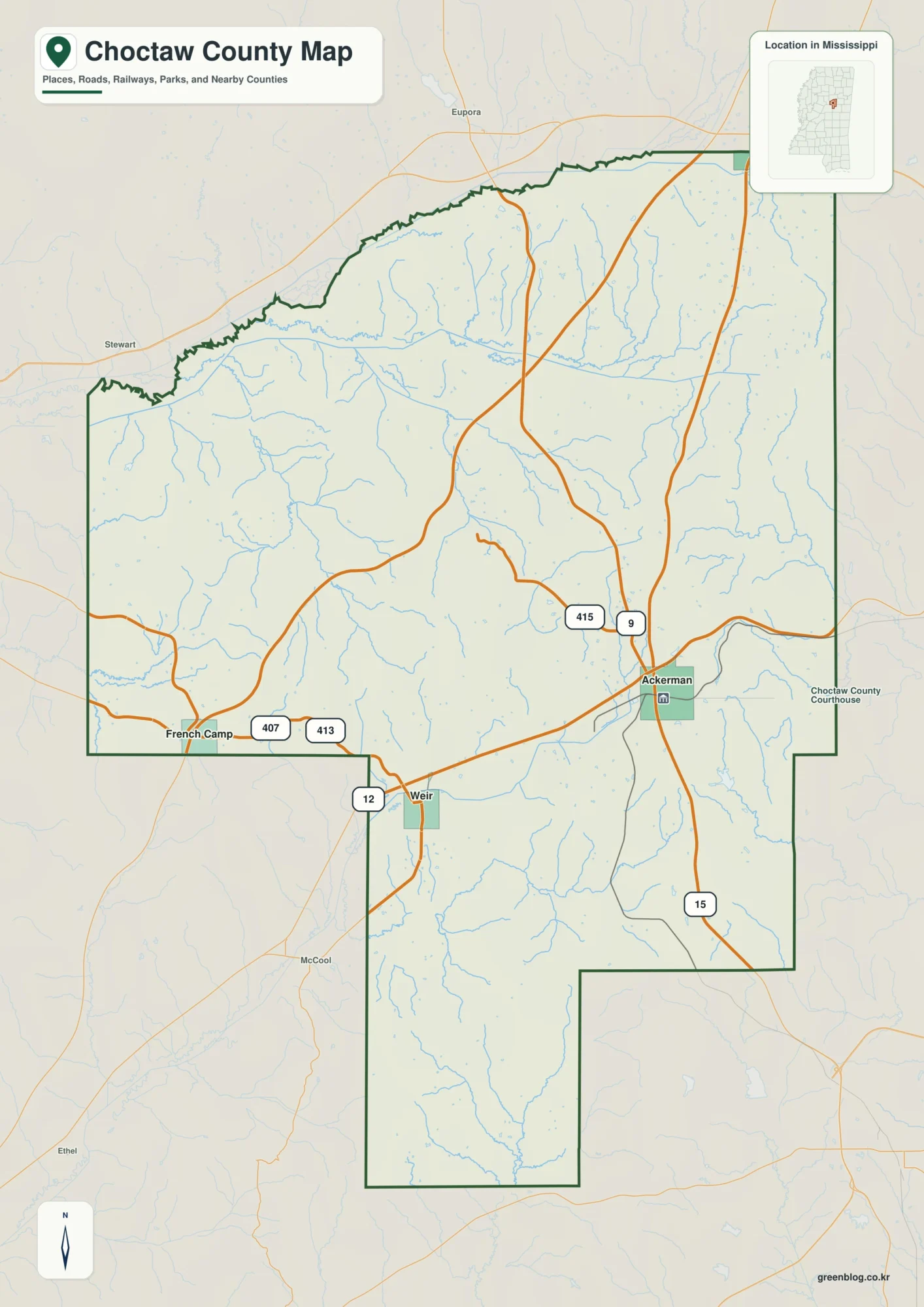
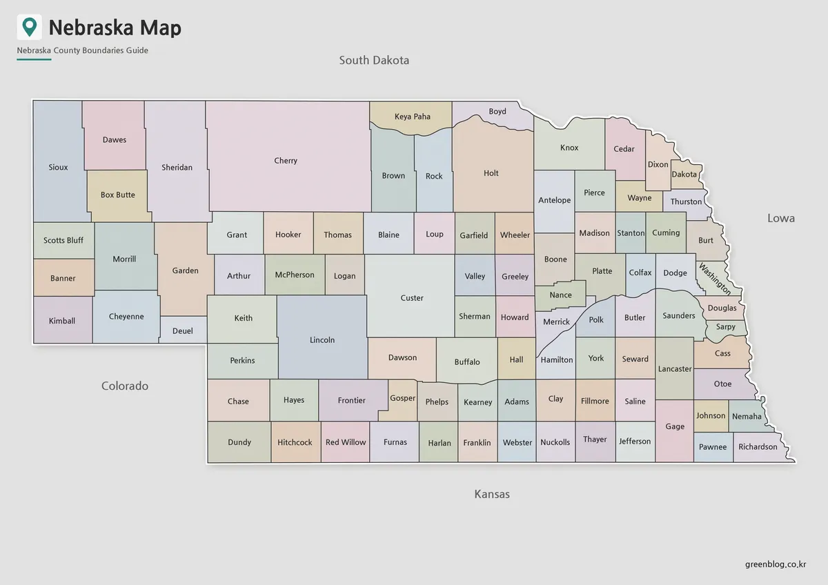
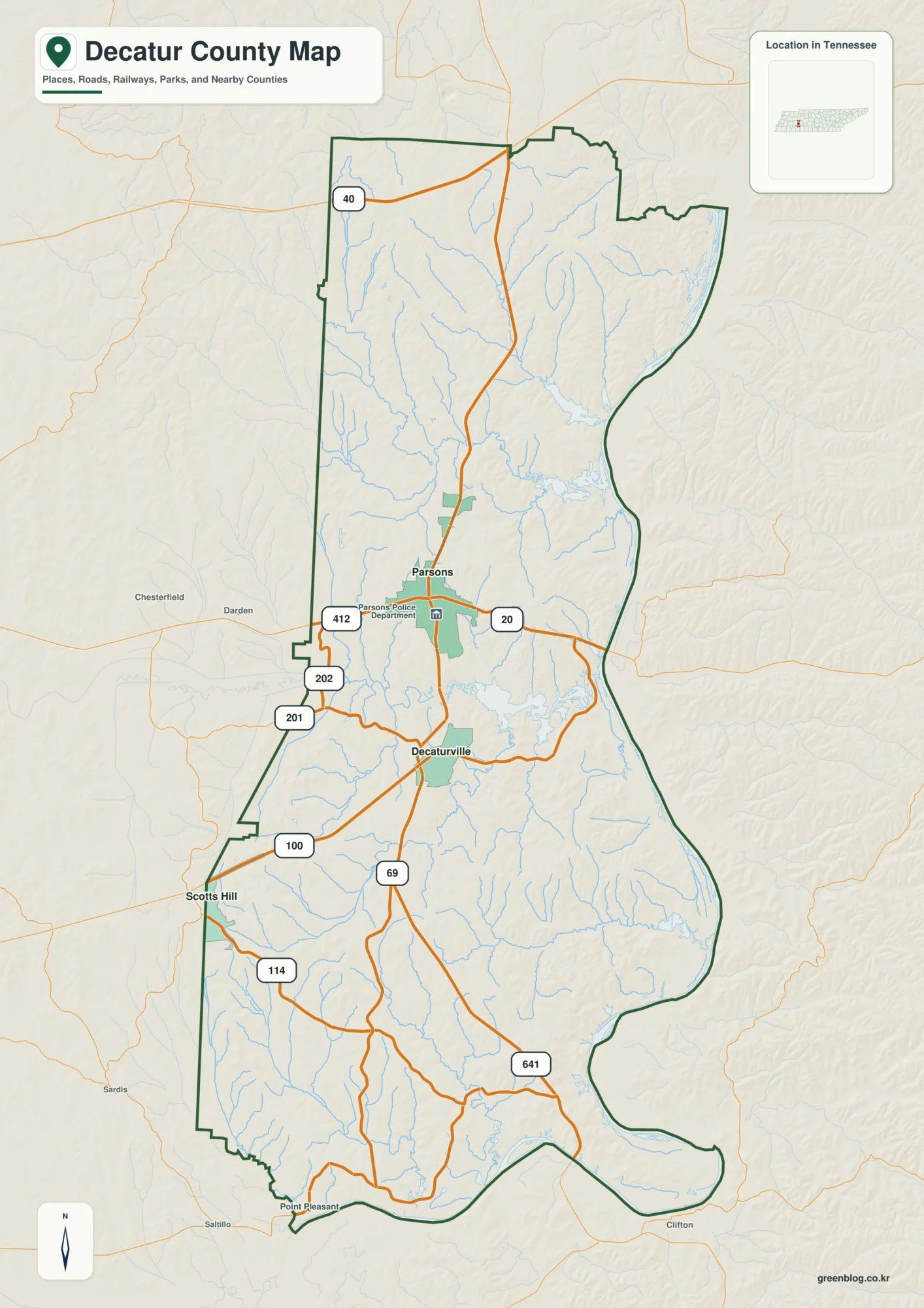
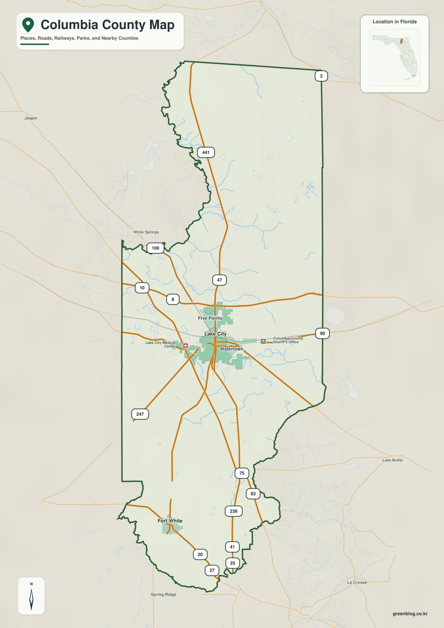
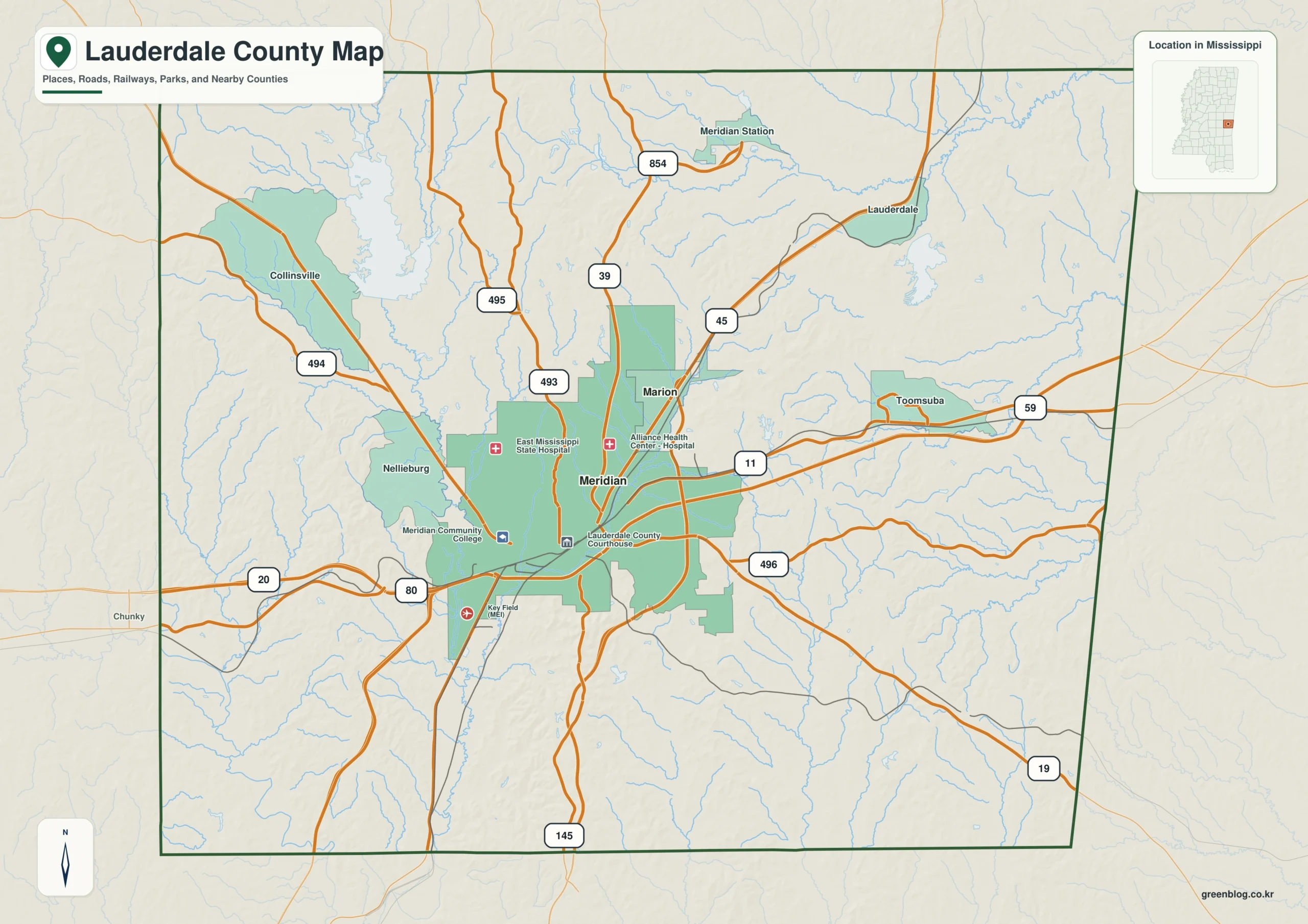
The Lauderdale County Mississippi map places Meridian at the center of a regional road and rail junction, then uses Marion, Toomsuba, Collinsville, and Nellieburg to define separate approaches. I-20/I-59, US 45, and US 80 converge near the Alabama line, giving eastern Mississippi a major transport center.
Lauderdale County Mississippi map download
The WebP preview is optimized for the page, while the button preserves the original high-resolution JPG for printing and reuse.
- File: County reference map
- Format: JPG
- Print layout: A3
Quick Facts
- State and identifier: Mississippi, Lauderdale County; FIPS 28075
- County seat: Meridian
- Selected map labels: Meridian, Marion, Toomsuba, Collinsville, Nellieburg
- 2020 census population: 72,984
- July 2025 population estimate: 70,317
- 2025 Gazetteer area: 703.676 sq mi land and 11.478 sq mi water
- 2020 land-area density: 103.7 residents per sq mi
- Primary route references: I-20/I-59, US 11, US 45, and US 80
- Landscape references: Okatibbee Creek and reservoir, Chunky River basin, wooded hills, and the Alabama line
The decennial count and July 2025 estimate use different reference dates. Land and water measurements come from the 2025 Gazetteer. The density of 103.7 residents per square mile divides the 2020 population by 2025 land area and does not imply an even distribution among cities, farms, forest, or wetland.
Reading the Lauderdale County Mississippi map
From Meridian, I-20 and US 80 lead east toward Toomsuba and Alabama, while US 45 points north toward Kemper County. Marion sits northeast of the urban core, Collinsville identifies the Okatibbee area to the northwest, and Nellieburg marks the western approach toward Newton County. Dense city streets and rail facilities are simplified.
Boundary, Water, and Terrain
Sumter and Choctaw counties in Alabama meet the eastern edge, Clarke County lies south, and Jasper and Newton counties lie west. Okatibbee Creek and its reservoir provide a conspicuous northwestern water reference; southern drainage connects with the Chunky River system. Wooded hills occupy much of the county beyond the Meridian urban area.
Settlement and Regional Context
Meridian expanded around intersecting rail lines and developed into a center for health care, commerce, government, and regional travel. Marion and Nellieburg are close to the urban cluster, whereas Toomsuba and Collinsville represent eastern-border and northwestern community zones. The lower 2025 population estimate, combined with a broad land area, highlights the contrast between the central city and rural surroundings.
Practical Map Uses
- Interpret the I-20/I-59 junction and Alabama approach
- Relate Collinsville to the northwestern Okatibbee watershed
- Use Toomsuba as an eastern state-line reference
Frequently Asked Questions
Do I-20 and I-59 share a route near Meridian?
Yes. The interstates overlap for part of their approach before separating toward different regional destinations. That shared corridor emphasizes Meridian's transport role.
Why compare Okatibbee Creek with the spacing from Meridian to Marion and Kemper?
The interval from Meridian to Marion describes settlement spacing, while Okatibbee Creek and the Kemper side add physical and boundary evidence.
Sources
- U.S. Census Bureau QuickFacts
- U.S. Census Bureau 2025 Gazetteer Files
- Mississippi Department of Transportation official highway map
- Regional landscape or institution reference
Related County Maps
Green Map creates custom-edited map images using open geographic data sources such as geoBoundaries, Natural Earth, OpenStreetMap, and government open data.
These maps are edited visual materials, not raw data files, and are provided for education, documents, presentations, and graphic reference.