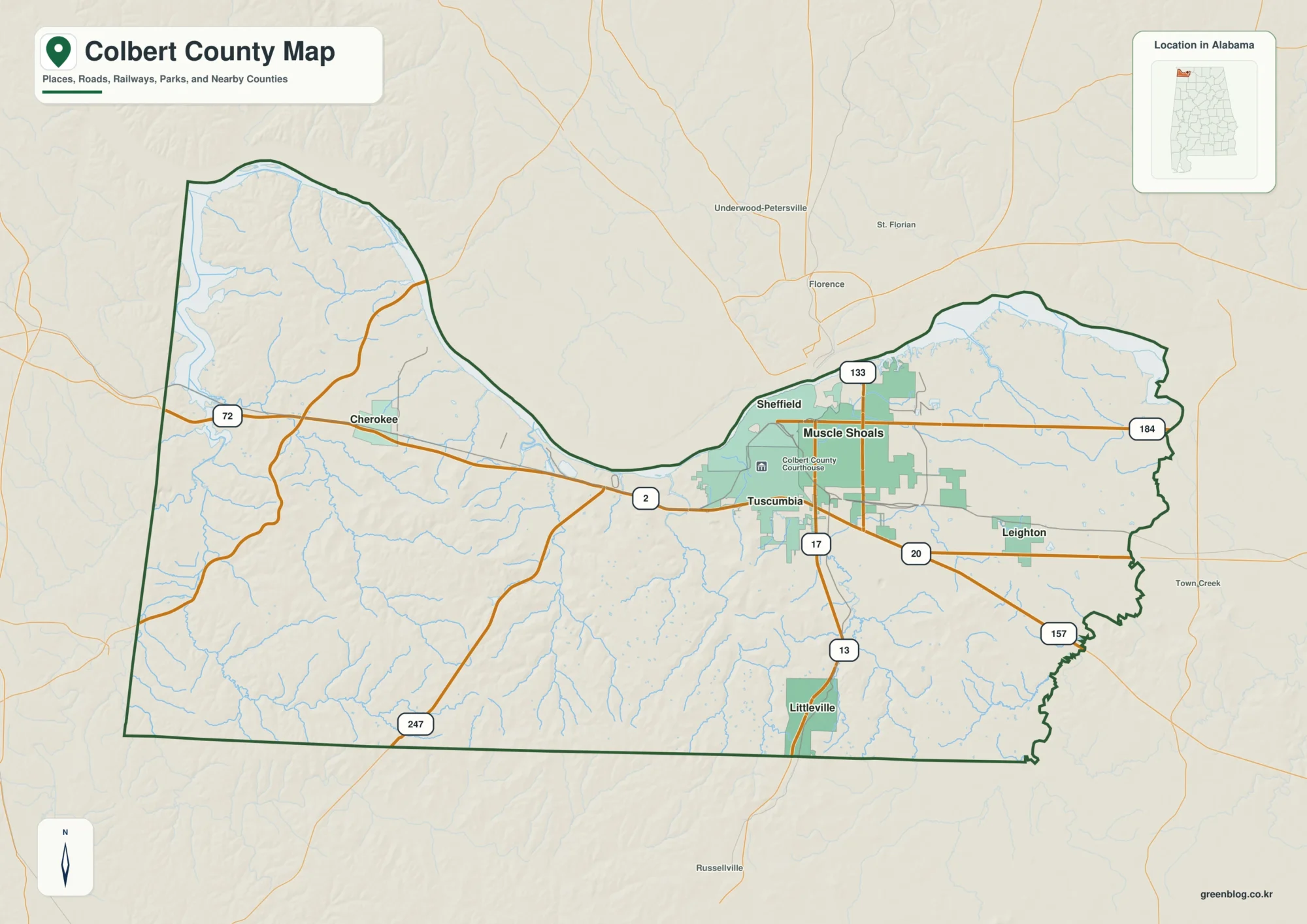
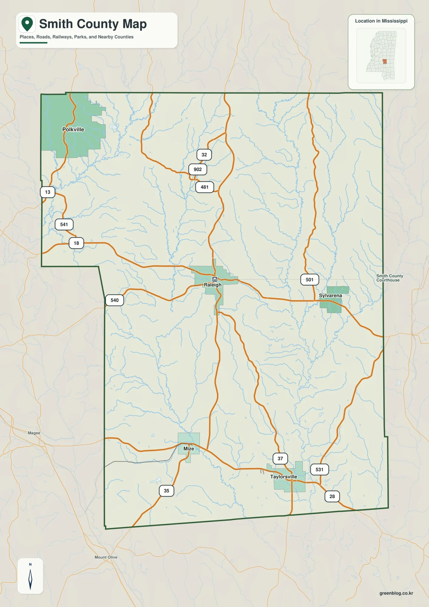
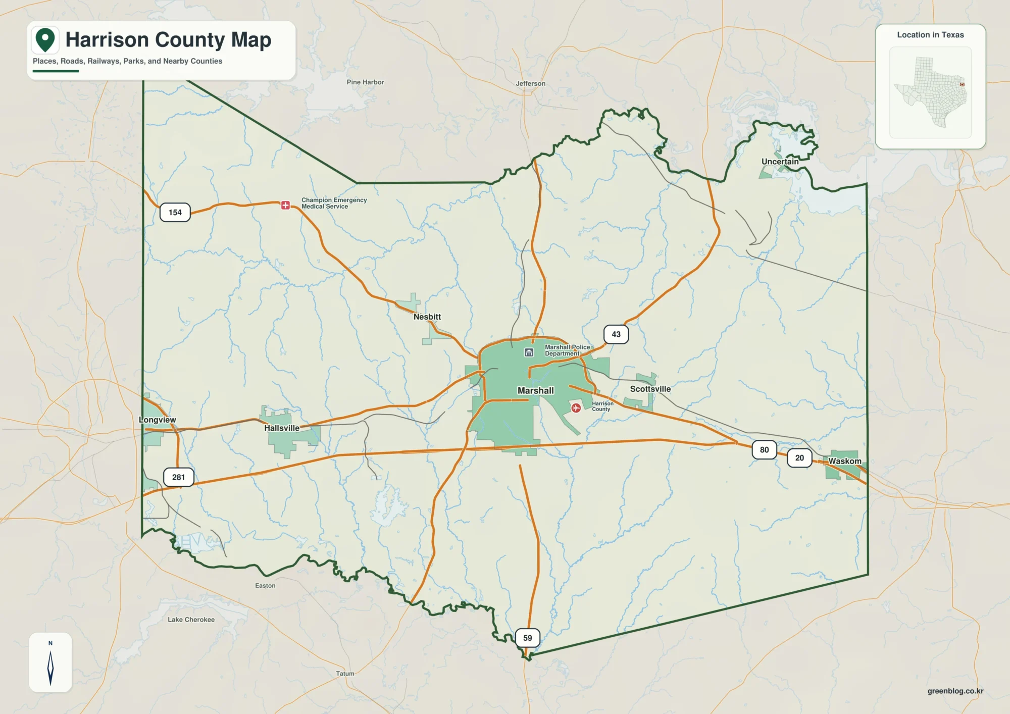
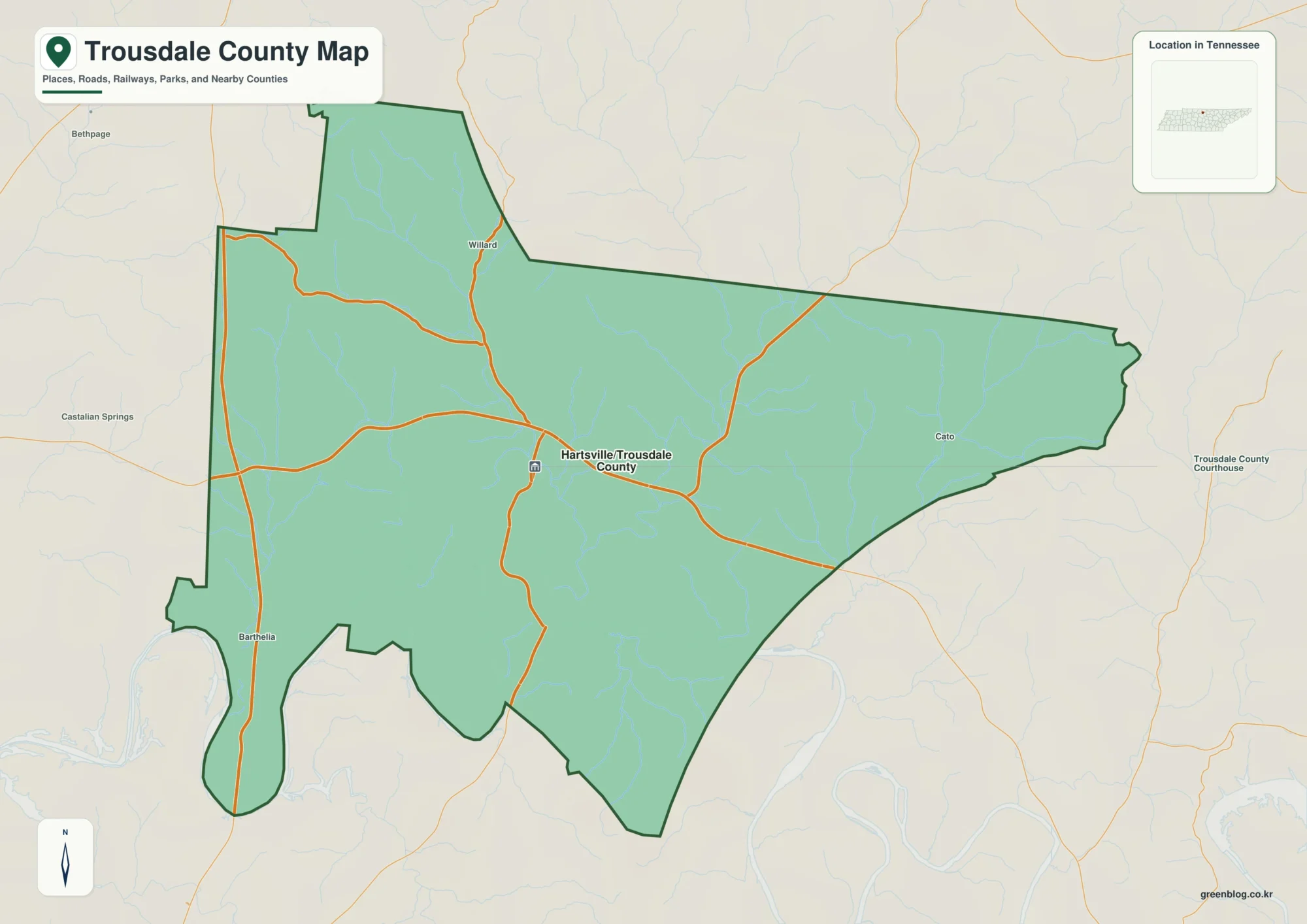
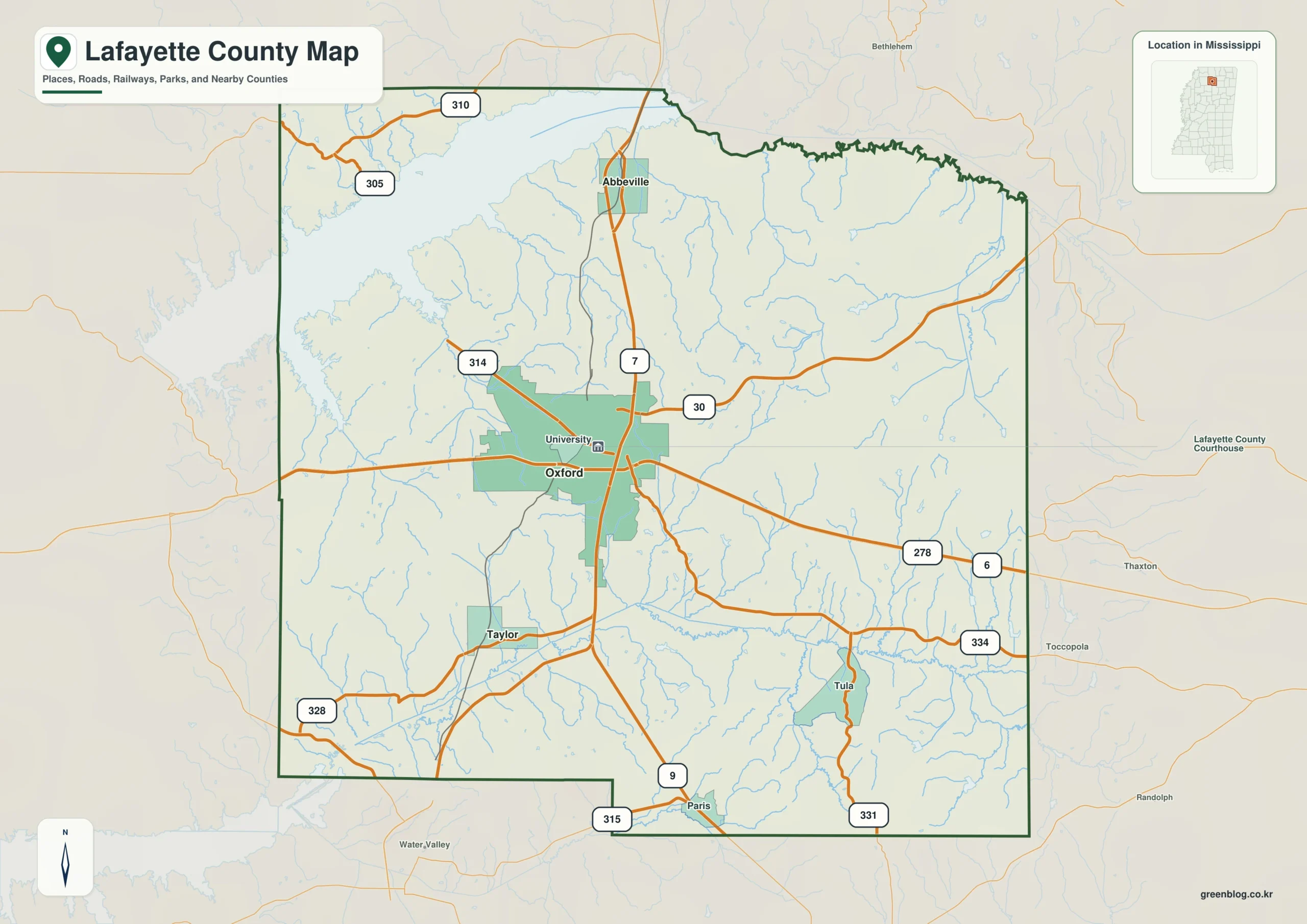
The Lafayette County Mississippi map centers on Oxford and the University of Mississippi, then reaches north to Abbeville, south to Taylor, east to Paris, and northwest toward College Hill. Sardis Lake creates a large second landmark that separates the university-centered urban area from wooded hills and recreation country.
Lafayette County Mississippi map download
The WebP preview is optimized for the page, while the button preserves the original high-resolution JPG for printing and reuse.
- File: County reference map
- Format: JPG
- Print layout: A3
Quick Facts
- State and identifier: Mississippi, Lafayette County; FIPS 28071
- County seat: Oxford
- Selected map labels: Oxford, Abbeville, Taylor, Paris, College Hill
- 2020 census population: 55,813
- July 2025 population estimate: 59,597
- 2025 Gazetteer area: 631.697 sq mi land and 47.531 sq mi water
- 2020 land-area density: 88.4 residents per sq mi
- Primary route references: US 278/MS 6, MS 7, MS 30, and MS 334
- Landscape references: Sardis Lake, Little Tallahatchie River, rolling North Central Hills, and wooded creek valleys
The decennial count and July 2025 estimate use different reference dates. Land and water measurements come from the 2025 Gazetteer. The density of 88.4 residents per square mile divides the 2020 population by 2025 land area and does not imply an even distribution among cities, farms, forest, or wetland.
Reading the Lafayette County Mississippi map
US 278/MS 6 crosses Oxford east-west, while MS 7 supplies the main north-south line. Abbeville helps place the eastern side of Sardis Lake and the Marshall County approach; Taylor marks the south toward Yalobusha County; Paris identifies the Calhoun County side. Oxford streets and minor shoreline recreation roads are simplified.
Boundary, Water, and Terrain
Sardis Lake and the Little Tallahatchie River form an irregular water landscape in the northwest, accounting for substantial water acreage. Rolling hills and wooded creek valleys continue toward Panola and Tate counties on the west and Union, Pontotoc, and Calhoun counties on the east. Oxford concentrates roads and population, but most county land remains outside the city.
Settlement and Regional Context
University, medical, cultural, and service activity in Oxford drives housing and population growth. The July 2025 estimate is about 6.8 percent above the 2020 census count, a notable contrast with several nearby rural counties. Abbeville, Taylor, Paris, and the Sardis Lake area nevertheless retain distinct small-community, agricultural, and recreation settings.
Practical Map Uses
- Orient the US 278/MS 6 and MS 7 junction in Oxford
- Relate Abbeville to Sardis Lake and the northern county
- Use Taylor and Paris to separate southern and eastern approaches
Frequently Asked Questions
Is Sardis Lake inside Oxford?
No. The large reservoir area lies northwest of Oxford, with Abbeville offering a useful eastern-side reference. The urban core and shoreline recreation areas are separate zones.
Which different map roles are served by Oxford, Sardis Lake, and the Marshall side?
Oxford works as a place anchor, Sardis Lake as a landscape anchor, and Marshall as an outer reference for reading three different layers of the county.
Sources
- U.S. Census Bureau QuickFacts
- U.S. Census Bureau 2025 Gazetteer Files
- Mississippi Department of Transportation official highway map
- Regional landscape or institution reference
Related County Maps
Green Map creates custom-edited map images using open geographic data sources such as geoBoundaries, Natural Earth, OpenStreetMap, and government open data.
These maps are edited visual materials, not raw data files, and are provided for education, documents, presentations, and graphic reference.