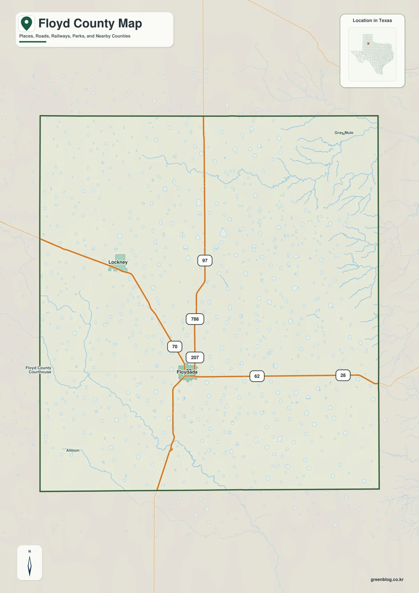
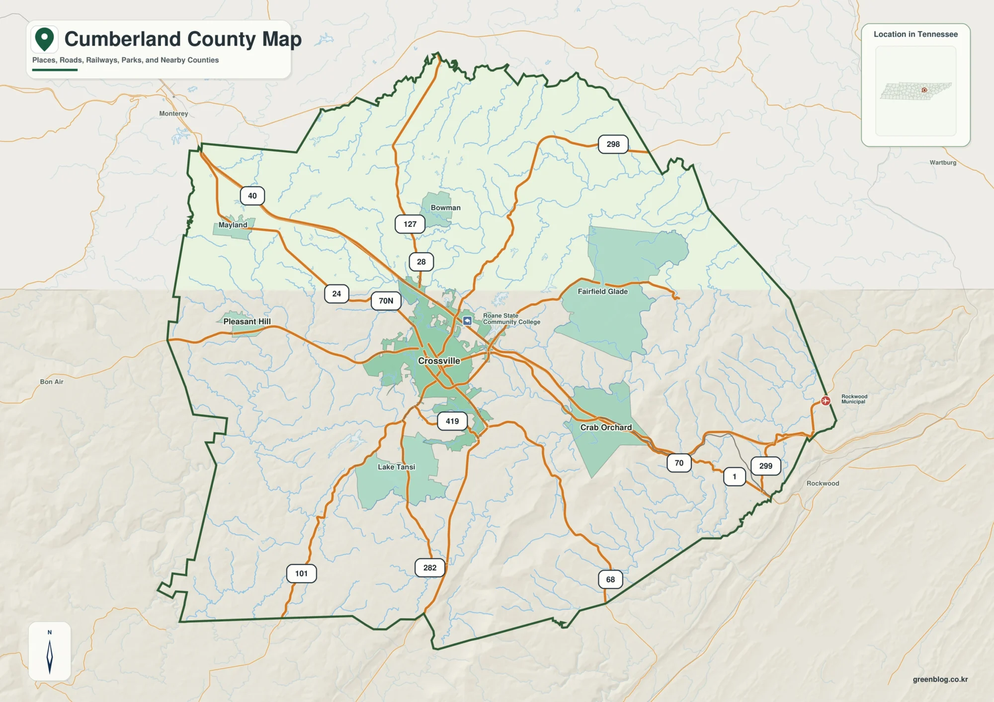
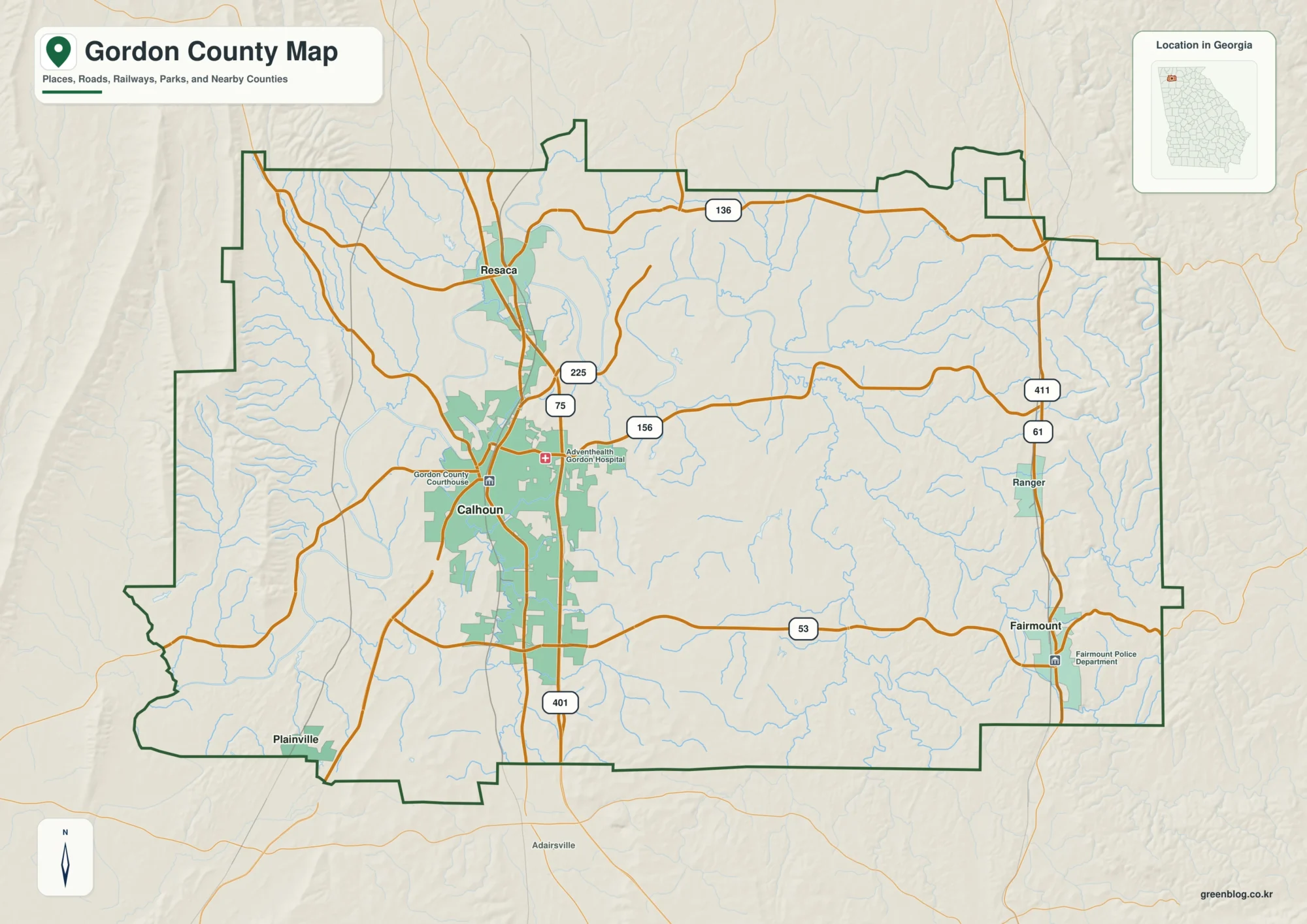
The Hancock County Mississippi map moves from Bay St. Louis and Waveland on the coast to Diamondhead, Kiln, and Pearlington inland and westward. It is a water-shaped county between Mississippi Sound, the Bay of St. Louis, and the Pearl River estuary, with the Stennis Space Center occupying a distinctive northern area.
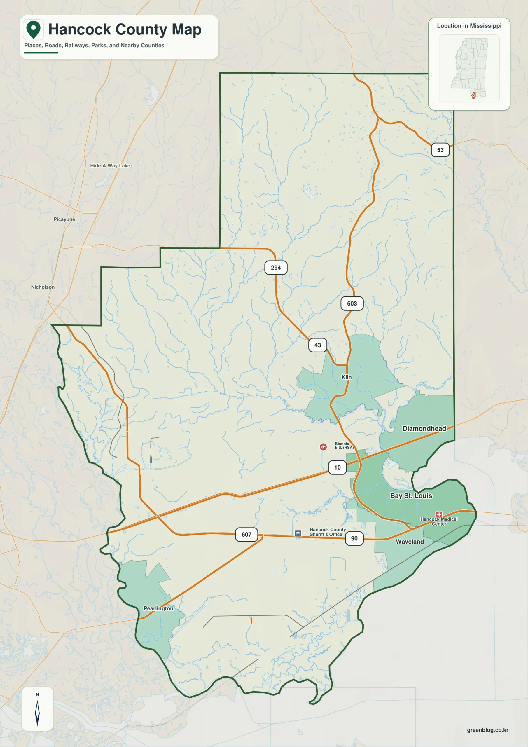
Hancock County Mississippi map download
The WebP preview is optimized for the page, while the button preserves the original high-resolution JPG for printing and reuse.
- File: County reference map
- Format: JPG
- Print layout: A3
Quick Facts
- State and identifier: Mississippi, Hancock County; FIPS 28045
- County seat: Bay St. Louis
- Selected map labels: Bay St. Louis, Waveland, Diamondhead, Kiln, Pearlington
- 2020 census population: 46,053
- July 2025 population estimate: 46,873
- 2025 Gazetteer area: 473.966 sq mi land and 78.799 sq mi water
- 2020 land-area density: 97.2 residents per sq mi
- Primary route references: I-10, US 90, US 603, and MS 43
- Landscape references: Mississippi Sound, Bay of St. Louis, Jourdan River, Pearl River, and coastal marsh
The decennial count and July 2025 estimate use different reference dates. Land and water measurements come from the 2025 Gazetteer. The density of 97.2 residents per square mile divides the 2020 population by 2025 land area and does not imply an even distribution among cities, farms, forest, or wetland.
Reading the Hancock County Mississippi map
US 90 joins the coastal communities, whereas I-10 provides the main inland route through Diamondhead. Kiln marks the Jourdan River side of the county, and Pearlington identifies the lower Pearl River approach near Louisiana. The map is not a parcel, evacuation, or wetland-navigation product; small channels and neighborhood streets are omitted.
Boundary, Water, and Terrain
Hancock County's land area widens north of the coast. Harrison County lies east of the Bay of St. Louis, Pearl River and Stone counties frame the north and northeast, and St. Tammany Parish lies across the Louisiana line. Substantial water acreage reflects bays, tidal rivers, marshes, and the Mississippi Sound boundary.
Settlement and Regional Context
NASA's Stennis Space Center and its surrounding buffer zone distinguish the northwestern county from the developed shoreline. Bay St. Louis and Waveland form one coastal cluster; Diamondhead forms another along I-10. Hurricane damage and rebuilding have repeatedly reshaped the built environment without changing the basic relationship between these centers and the water.
Practical Map Uses
- Compare US 90's shoreline towns with the I-10 Diamondhead corridor
- Locate Pearlington against the Pearl River and Louisiana boundary
- Explain why the Stennis buffer area has few ordinary settlement labels
Frequently Asked Questions
Why does Hancock County have so much water area?
The county boundary includes portions of Mississippi Sound, the Bay of St. Louis, tidal rivers, and marsh. Those features add significant water acreage beyond the dry-land outline.
How can Mississippi Sound clarify the part of Hancock County facing Pearl River?
Looking only at Bay St. Louis would reduce the map to town labels, whereas Mississippi Sound explains the landscape transition toward Pearl River.
Sources
- U.S. Census Bureau QuickFacts
- U.S. Census Bureau 2025 Gazetteer Files
- Mississippi Department of Transportation official highway map
- Regional landscape or institution reference
Related County Maps
Green Map creates custom-edited map images using open geographic data sources such as geoBoundaries, Natural Earth, OpenStreetMap, and government open data.
These maps are edited visual materials, not raw data files, and are provided for education, documents, presentations, and graphic reference.