A Sherman County Texas map covers one of the state’s northernmost counties, where grain fields, cattle operations, highways, and energy infrastructure extend across the High Plains. Stratford is the county seat and principal service center. Texhoma occupies the northeast corner and continues across the Oklahoma line, giving the county an unusual two-state community at its edge.
The 2020 census counted 2,782 residents. Most public services and local commerce are concentrated in Stratford, while farms, ranches, wells, and wind facilities are dispersed across a county with few named settlements.
Table of Contents
A Railroad Town Replaced Coldwater
Sherman County was created in 1876 and organized in 1889 with Coldwater as its first county seat. The settlement initially held the courthouse and records, but it lacked the transportation advantages that later favored Stratford.
After the railroad reached Stratford, business and population shifted toward the new town. Voters approved the county-seat change in 1901, and a well-known local account describes officials moving the records at night and holding court in a tent to complete the transfer. Coldwater subsequently faded, while Stratford became the lasting civic center.
Stratford at the Highway Crossroads
Stratford stands near the junction of U.S. Highways 54 and 287. Highway 54 provides the main east–west connection toward Dalhart and Texhoma, while 287 links the county with communities farther south in the Texas Panhandle and north toward Oklahoma.
The courthouse, schools, agricultural businesses, grain handling, and everyday services are centered here. This concentration makes Stratford more important than its population alone suggests, because it supports a broad rural area extending to every county boundary.
Texhoma Lives on Both Sides of a State Line
Texhoma developed along the railroad and U.S. 54 at the Texas–Oklahoma boundary. The name combines the two state names, but the communities on either side operate under separate state and local governments.
On a map, Texhoma is the clearest reference point for the northeast corner. It also shows why the northern edge should be read as a state boundary as well as a county line: Cimarron County lies to the northwestern side in Oklahoma, and Texas County lies beyond the northeastern segment.
Grain, Cattle, Gas, and Wind
Wheat, corn, sorghum, cattle feeding, and ranching have long shaped land use. Irrigation supports crop production in a dry climate, although dependence on the Ogallala Aquifer makes groundwater conservation a continuing concern.
Oil and natural-gas production added another economic layer, and modern wind projects take advantage of the exposed plains. These activities are spread across private land, so a general county map should not be treated as a current lease, well, pipeline, transmission, or property map.
Reading a Sparse High Plains County
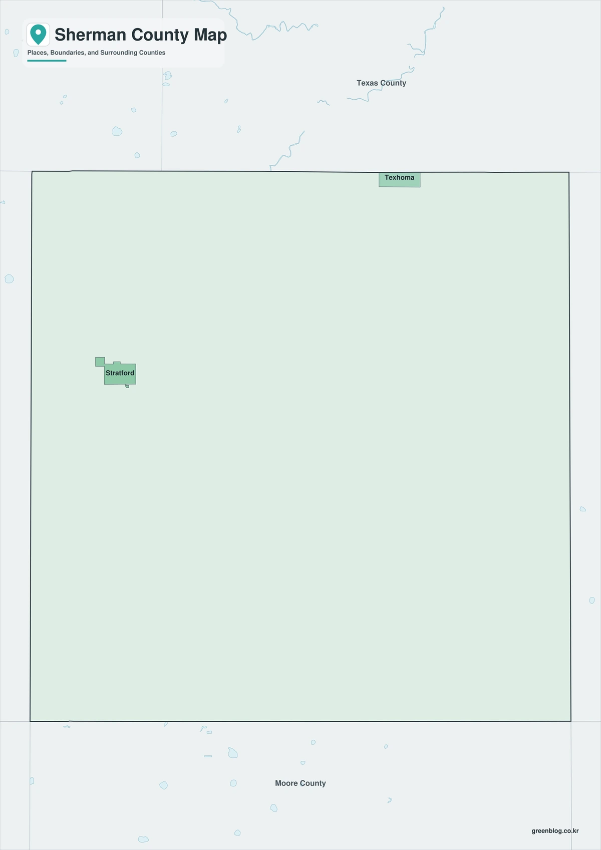
The Sherman County Texas map becomes easier to read by locating Stratford in the western half and Texhoma on the northeast border. Dallam County is west, Moore County south, and Hansford County east. The straight northern line separates Texas from Oklahoma, while the broad interior reflects a rural landscape where roads and section patterns are more visible than rivers or urban development.
Color Map
The color version separates Sherman County from Dallam, Moore, and Hansford counties and from the Oklahoma counties along the north. Texhoma marks the state line in the northeast, while Stratford anchors the western interior. The contrasting fills make the long, straight High Plains boundaries easier to follow across an area with few natural landmarks.
Black-and-White Map
Removing the fills leaves place names, county outlines, and the Texas–Oklahoma boundary visible. Stratford and Texhoma remain far enough apart to show the county’s principal east–west orientation. The simplified treatment is suitable for reports, worksheets, and printing where color is unnecessary.
Outline Map
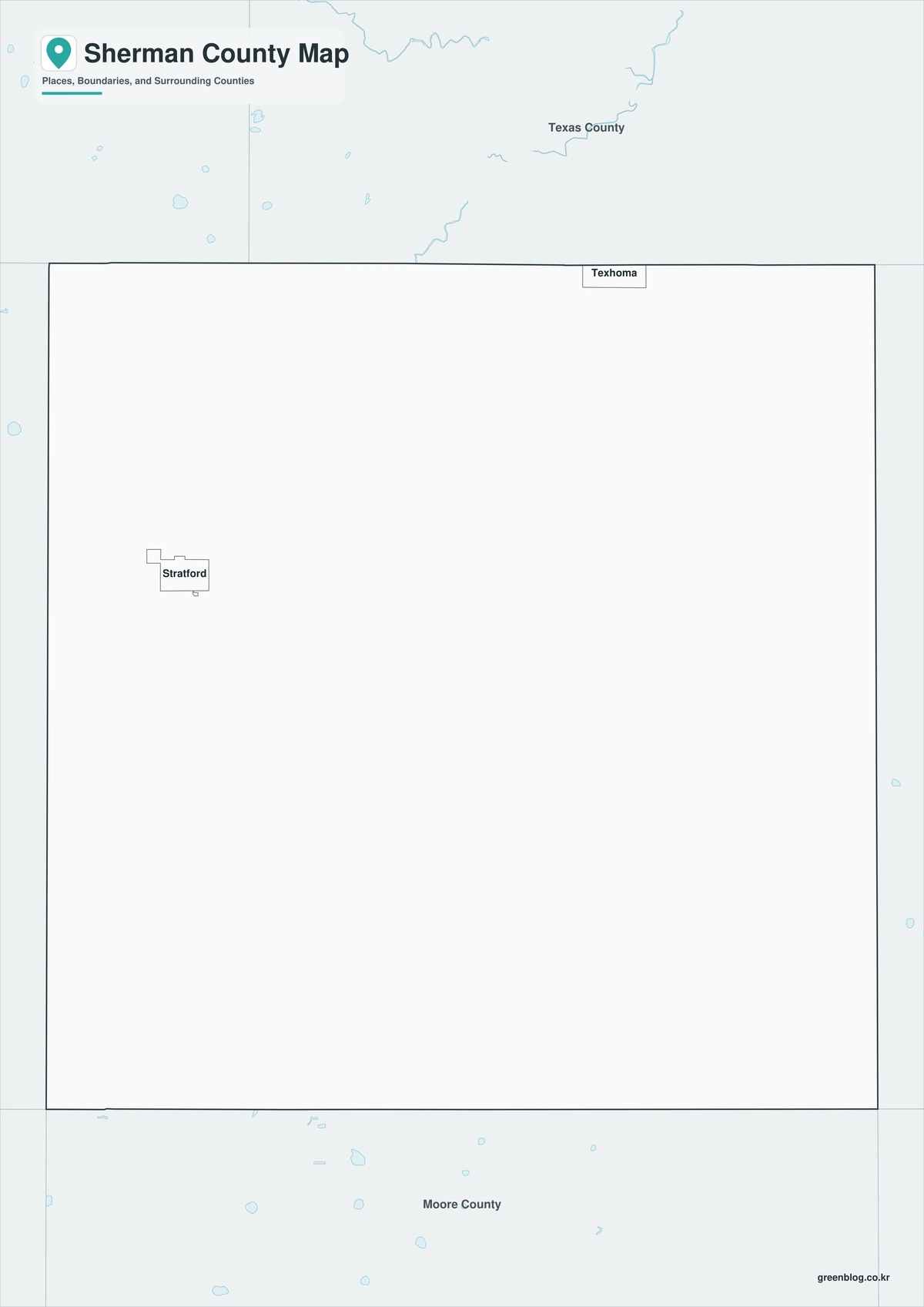
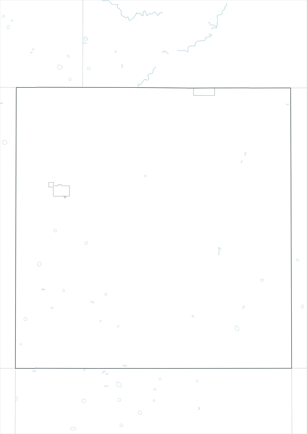
The outline file removes both color and labels while retaining the county and surrounding boundary lines. Users can add Stratford, Coldwater, and Texhoma, trace the U.S. 54 corridor, or emphasize the Oklahoma state line. It also provides space for agricultural, energy, classroom, or historical annotations without implying that those details are already mapped.
Download the Sherman County Map Set
The download includes color, black-and-white, and outline JPG maps formatted for A3 output. Select the version that fits presentation, printing, or custom-labeling needs.
Map File Details
The package contains three Sherman County map versions. The color and black-and-white files retain selected place names, while the outline file keeps boundaries only.
- Map types: Color, black-and-white, outline
- File format: JPG
- Print size: A3
- Coverage: County boundary, adjacent areas, selected places
- Uses: Printing, lessons, presentations, documents, custom labels
Frequently Asked Questions
Why did Stratford become the county seat?
Railroad access shifted residents and commerce away from Coldwater. Voters selected Stratford in 1901, and it has remained the county seat since then.
Is Texhoma one city in two states?
The built-up community crosses the state line, but the Texas and Oklahoma sides are legally separate municipalities governed under different state systems.
Does this map show current wells or wind turbines?
No. It is a general county reference map. Current wells, leases, pipelines, turbines, transmission lines, and property boundaries require specialized official datasets.
Sources and Further Reading
- Handbook of Texas — county history, geography, and economy
- U.S. Census Bureau QuickFacts — population and demographic data
- Sherman County Government — official county offices and services
Regional Information
Continent: North America
Country: United States
State: Texas
County: Sherman County
Location: Northern Texas Panhandle on the Oklahoma line
Adjacent areas: Cimarron County, Texas County, Hansford County, Moore County, Dallam County
Main places: Stratford, Texhoma, Coldwater
Landscape: High Plains and agricultural plains
Related Maps
Compare neighboring Texas Panhandle counties to see how the Oklahoma line, highway corridors, and High Plains agricultural settlement continue across the region.
Green Map creates custom-edited map images using open geographic data sources such as geoBoundaries, Natural Earth, OpenStreetMap, and government open data.
These maps are edited visual materials, not raw data files, and are provided for education, documents, presentations, and graphic reference.