A western city known for cattle trade, an entertainment corridor, airport-oriented suburbs, and 41 incorporated areas are located within the same county. A Tarrant County Texas map must therefore show more than Fort Worth: Arlington, Grapevine, Mansfield, the Mid-Cities, Trinity River forks, and several reservoirs are essential to the urban pattern.
The Census Bureau estimated 2,248,466 residents on July 1, 2025, 6.5 percent above the 2020 estimate base. Tarrant is one of Texas’s largest urban counties, yet western heritage, manufacturing, lakes, and remaining rural edges still shape local identity.
Table of Contents
Multiple Centers, Not One Continuous City
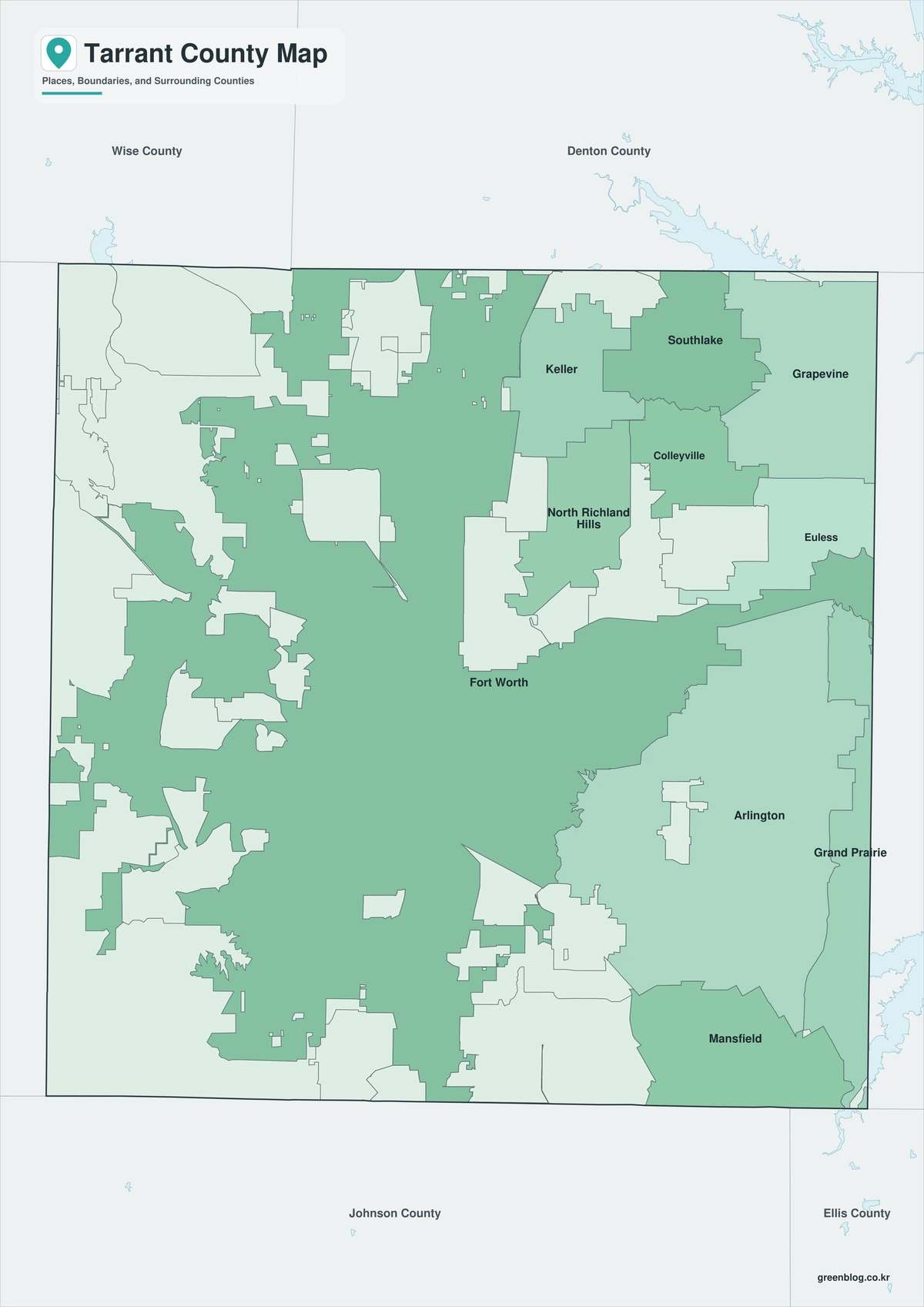
Fort Worth is the county seat, largest city, and dominant employment and cultural center. Arlington serves as a distinct eastern anchor between Fort Worth and Dallas, featuring significant sports, entertainment, educational, residential, and industrial sectors. Mansfield has become a southeastern growth center, while northern communities form another broad band of development.
The official county list includes forty-one incorporated areas. Several cities extend across county lines, including Fort Worth, Grapevine, Mansfield, Grand Prairie, and Flower Mound, so a municipal name doesn’t always fit neatly within the county outline.
Transportation Reordered the County
Railroads first redirected growth toward Fort Worth, Arlington, Keller, Mansfield, and other market towns. Interstate 30 strengthened the east-west corridor, while I-35W, I-20, State Highway 360, and State Highways 121 and 114 created new suburban and industrial areas.
Dallas Fort Worth International Airport transformed the northeast side after the 1970s. Grapevine, Euless, Bedford, Hurst, Southlake, and nearby cities gained logistics, hotels, offices, retail, and commuter access. TEXRail now links downtown Fort Worth with the airport through Grapevine.
Aerospace, Defense, and a Diverse Economy
Tarrant County moved beyond cattle, rail trade, and agriculture through aviation and defense manufacturing. Bell Helicopter, aircraft production, and military activity at the former Carswell Air Force Base helped create a skilled industrial workforce.
The current economy combines aerospace, logistics, healthcare, education, tourism, professional services, entertainment, and construction. Employment is distributed across Fort Worth, Arlington, airport cities, and industrial corridors rather than concentrated in a single downtown.
The Trinity River and Five Major Lakes
The West Fork and Clear Fork meet in Fort Worth, and the Trinity River continues southeast across the county. Tributaries and floodplains influence parks, trails, levees, transportation projects, and redevelopment areas.
Lake Worth, Eagle Mountain Lake, Benbrook Lake, Lake Arlington, and Grapevine Lake provide water-supply, flood-control, and recreation functions. Their locations distinguish the northwest, southwest, east, and northeast parts of the county. Detailed floodplain, shoreline, and reservoir decisions require current agency data.
Natural Regions Beneath the Metroplex
Urban development overlays are found in the southeast along Blackland Prairie, in part of the eastern Eastern Cross Timbers region, across the center of Grand Prairie, and further west of Western Cross Timbers. Soil, oak woodland, limestone, and grassland differences influenced early farming and settlement.
Those boundaries still matter for drainage, vegetation, construction, and environmental planning, even though they are less visible beneath roads and neighborhoods today. Arlington’s prairie setting and Fort Worth’s western landscape help explain contrasts across the county.
Quick Geographic Reference
| County seat | Fort Worth |
|---|---|
| Major eastern city | Arlington |
| Northeast airport and lake city | Grapevine |
| Southeast growth center | Mansfield |
| 2025 population estimate | 2,248,466 |
| Incorporated areas | 41 |
| Primary river system | Trinity River, West Fork, and Clear Fork |
| Major reservoirs | Lake Worth, Eagle Mountain, Benbrook, Arlington, Grapevine |
Color Map
The color edition separates Tarrant County from Wise, Denton, Dallas, Ellis, Johnson, and Parker counties. Fort Worth anchors the west, Arlington the east, and Grapevine the northeast airport-and-lake district. The Trinity River, Lake Arlington, Benbrook Lake, and Eagle Mountain Lake provide natural reference points within the dense urban field.
Black-and-White Map
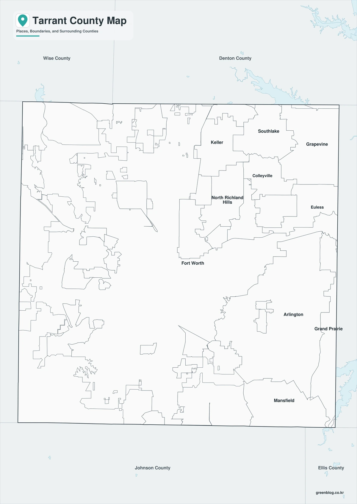
County fills are removed while selected city names, water features, and boundary lines remain. The Fort Worth–Arlington axis and the clustered Mid-Cities are easier to compare without color. This version works well in planning reports and monochrome printing.
Outline Map
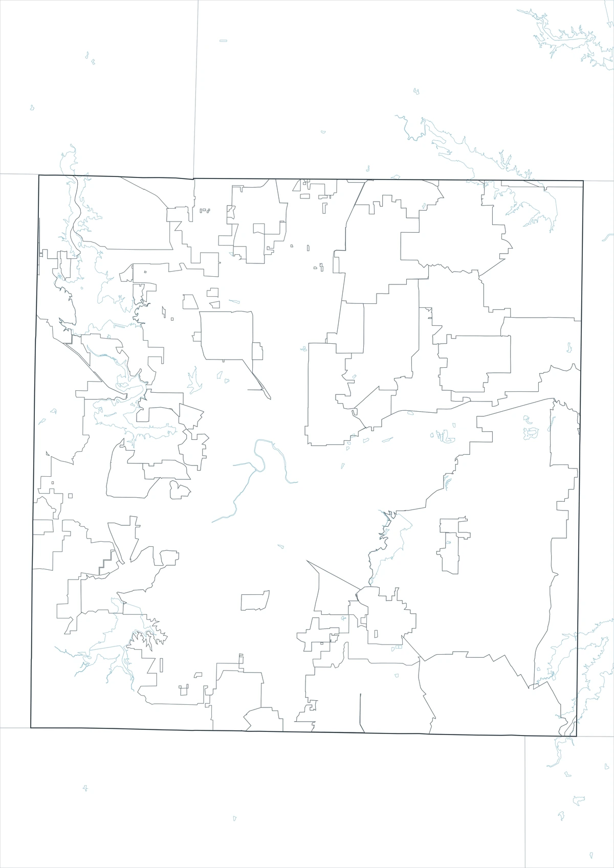
The outline sheet removes colors and labels while preserving Tarrant County and adjacent-county boundaries. Users can add verified data such as the Trinity River, major lakes, DFW Airport access, commuter rail, freeway corridors, municipal clusters, and aerospace and logistics districts to the map.
Download the Three Map Styles
The Tarrant County Texas map set contains color, black-and-white, and outline A3 JPG files. Labeled sheets provide regional orientation, whereas the blank boundary version is designed for custom transportation, population, water, industry, and growth graphics.
County Map File Information
The download contains color, black-and-white, and outline Tarrant County maps. Selected cities and geographic references appear on the first two sheets, while the outline version keeps county context without fills or labels.
- Included Versions: Color, Black and White, Outline
- File Type: JPG
- Printable Size: A3 high-resolution layout
- Map Coverage: County boundary, adjacent counties, selected cities, rivers, and lakes
- Intended Use: Printing, reports, teaching, presentations, and custom urban analysis
Frequently Asked Questions
How many incorporated areas are in Tarrant County?
The county’s official list identifies forty-one incorporated areas. Some extend across county lines, so municipal and county boundaries should be checked separately.
Why is Grapevine important on a county map?
Grapevine sits beside Grapevine Lake and near DFW International Airport, State Highways 114 and 121, TEXRail, hotel districts, and a preserved historic downtown.
Can the outline map be used for municipal boundary work?
It is a county-level base map, not a legal municipal-boundary product. Use official county and city GIS records for annexations, parcels, zoning, and jurisdictional decisions.
Sources and Further Reading
Population figures come from the U.S. Census Bureau QuickFacts profile. The Handbook of Texas county entry supports the historical, economic, river, lake, and natural-region discussion. Current county context and the incorporated-area count come from the official Tarrant County website.
Use current GIS for legal boundaries, parcels, roads, flood decisions, reservoir access, and operational planning in Tarrant County, Fort Worth, Arlington, Airport Cities, and Trinity Lakes. Use municipal, transportation, airport, water, flood-control, and environmental GIS for detailed information.
Related Maps
- Free Printable Texas Map Set for Education, Presentations and Editing
- Webb County Texas map|Laredo, Rio Bravo, and the Rio Grande
- Swisher County Texas map|Tulia, I-27 Farm Towns, and Tule Canyon
- Titus County Texas map|Mount Pleasant, Pine Country, and Two Lakes
- Sutton County Texas map|Sonora, Caverns, Ranch Country, and Two Watersheds
Green Map creates custom-edited map images using open geographic data sources such as geoBoundaries, Natural Earth, OpenStreetMap, and government open data.
These maps are edited visual materials, not raw data files, and are provided for education, documents, presentations, and graphic reference.