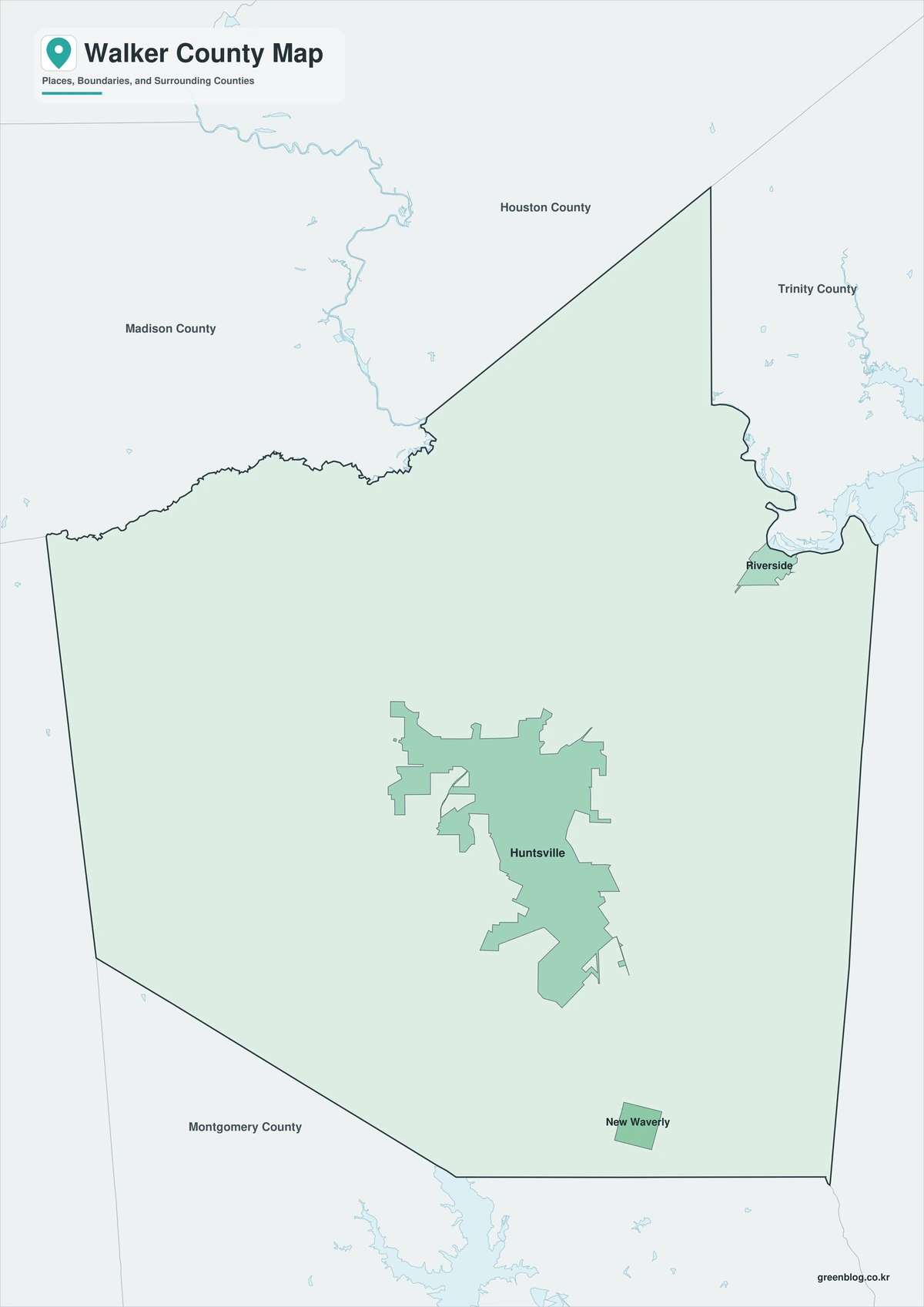
The Walker County Texas map covers East Texas with Huntsville, New Waverly, Riverside, Sam Houston National Forest, the Trinity River, Lake Livingston, pine woodland, ranches, and rural communities.
The U.S. Census Bureau estimated 83,842 residents on July 1, 2025. Huntsville is the county seat and principal center for government, education, healthcare, commerce, and regional services.
Table of Contents
Map Coverage and Three A3 Versions
The download includes color, black-and-white, and outline maps. The labeled versions locate selected cities, communities, national-forest areas, river, lake, woodland, and rural areas.
This Walker County Texas map focuses on the county boundary and its relationship to Houston, Trinity, San Jacinto, Montgomery, Grimes, and Madison counties. It is not a road atlas, flood map, forest-road map, prison-facility map, lake-depth chart, or parcel survey.
| Item | Verified Detail |
|---|---|
| Location | East Texas north of Houston |
| County Seat | Huntsville |
| 2025 Population Estimate | 83,842 |
| Major Cities | Huntsville, New Waverly, and Riverside |
| Other Communities | Phelps, Pine Prairie, and Dodge |
| Natural Features | Sam Houston National Forest, Trinity River, and Lake Livingston |
| Regional Character | Education, government, correctional facilities, forestry, agriculture, lake recreation, and rural housing |
Huntsville and County Government
Huntsville is the county seat and contains the courthouse, principal county offices, Sam Houston State University, hospitals, schools, commerce, and historical landmarks.
Interstate 45 connects the city with Houston and Dallas. State correctional facilities and public institutions are also prominent parts of the local economy.
New Waverly and Southern Walker County
New Waverly is a southern city along Interstate 45 linking rural communities with the northern Houston commuter market.
Pine woodland, ranches, farms, and low-density housing surround the city.
Riverside and the Trinity River
Riverside is a small northeastern city near the Trinity River and the upper reach of Lake Livingston. River and lake conditions influence fishing, boating, and rural access.
Water levels and flood conditions change, so current official information is required for river travel and emergency decisions.
Sam Houston National Forest
Sam Houston National Forest extends across southern Walker County and neighboring counties. Pine forest, hiking, camping, hunting, and wildlife viewing are major uses.
Fire restrictions, forest-road closures, and hunting regulations can change and require current U.S. Forest Service guidance.
Lake Livingston
Lake Livingston is a large Trinity River reservoir extending into Walker, Trinity, Polk, and San Jacinto counties. Texas Parks and Wildlife reports an area of about 83,277 acres.
Fishing, boating, and camping are common activities. Current water level, boat ramps, and fishing regulations should be checked before travel.
Color Map
The color version separates Walker County from neighboring areas and helps show Huntsville, New Waverly, Riverside, forest, river, lake, and rural communities.
Black-and-White Map
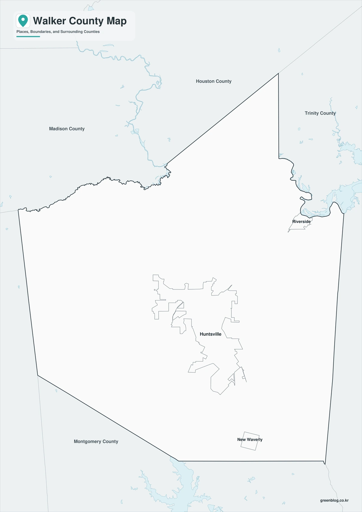
The black-and-white map retains the county outline and selected place names for grayscale printing.
Outline Map
The outline version contains boundary lines without labels or fills, allowing custom notes and place names.
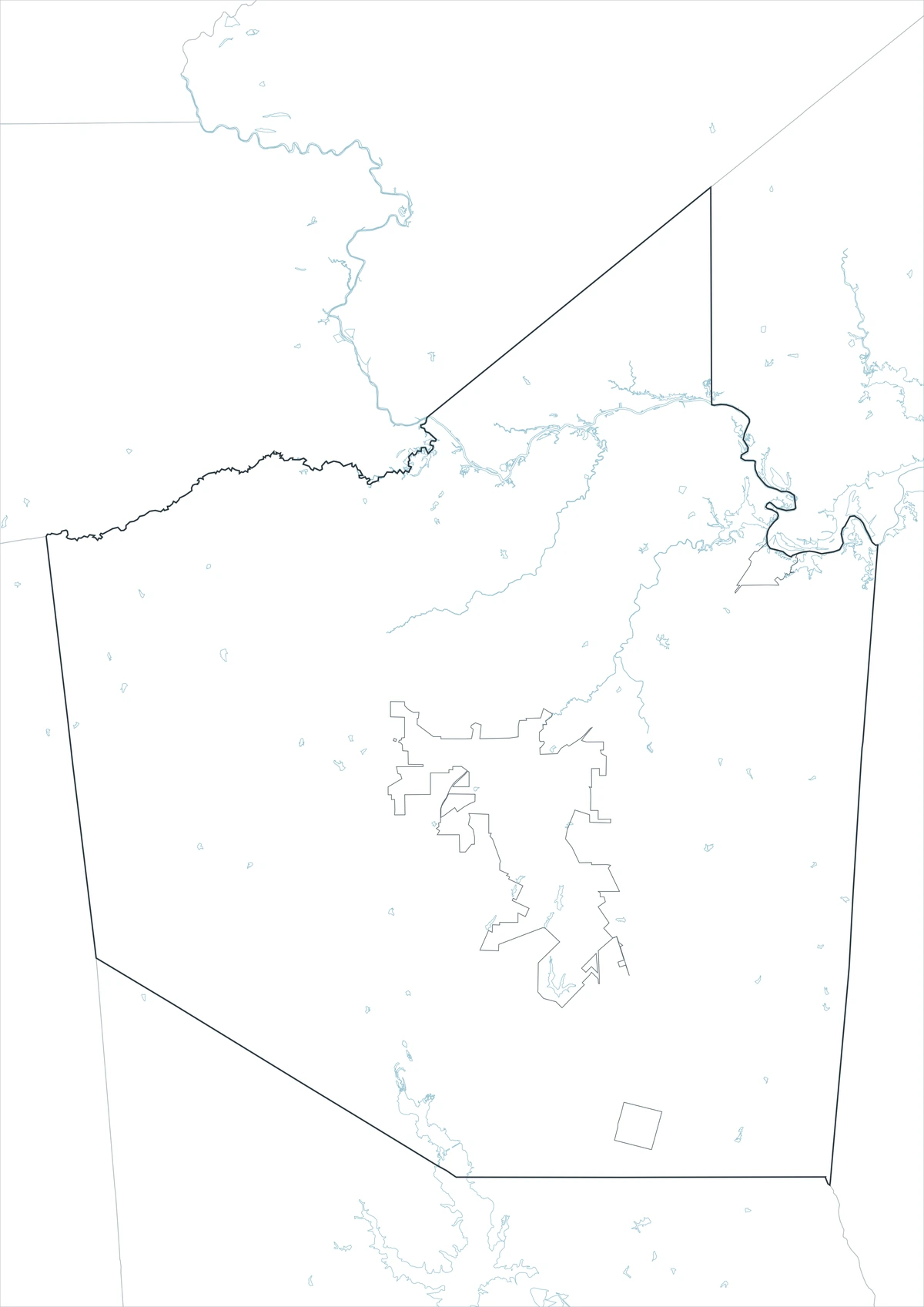
Download the Walker County Maps
The Walker County Texas map download contains three A3 JPG versions. Current official records should be used for legal, traffic, flood, lake recreation, forest access, facility-boundary, and property decisions.
County Map File Information
This download includes color, black-and-white, and outline maps.
- Included Versions: Color, Black and White, Outline
- File Type: JPG
- Page Size: A3
Frequently Asked Questions
What is the county seat of Walker County?
Huntsville is the county seat.
Which cities are the main population centers?
Huntsville, New Waverly, and Riverside are the principal cities.
Which natural features are best known?
Sam Houston National Forest, the Trinity River, and Lake Livingston are major features.
References
U.S. Census Bureau QuickFacts supplied the 2025 population estimate.
Walker County’s official website supplied county-seat and government information.
Texas Parks and Wildlife’s Lake Livingston guide supplied reservoir-location and size information.
Related Maps
- Washington County Texas map|Brenham, Burton, and Lake Somerville
- Webb County Texas map|Laredo, Rio Bravo, and the Rio Grande
- Young County Texas map|Graham, Olney, Newcastle, and Possum Kingdom Lake
- Wilbarger County Texas map|Vernon, the Pease River, and the Red River
- Winkler County Texas map|Kermit, Wink, and the Permian Basin
Green Map creates custom-edited map images using open geographic data sources such as geoBoundaries, Natural Earth, OpenStreetMap, and government open data.
These maps are edited visual materials, not raw data files, and are provided for education, documents, presentations, and graphic reference.