The Victoria County Texas map covers Southeast Texas with Victoria, Bloomington, Inez, Placedo, the Guadalupe River, Coleto Creek Reservoir, farmland, industrial areas, and Gulf Coastal Plain landscapes.
The U.S. Census Bureau estimated 92,656 residents on July 1, 2025. Victoria is the county seat and contains most of the county’s government, healthcare, education, commerce, and urban services.
Table of Contents
Map Coverage and Three A3 Versions
The download includes color, black-and-white, and outline maps. The labeled versions locate selected cities, communities, rivers, reservoir, farmland, and broad industrial areas.
This Victoria County Texas map focuses on the county boundary and its relationship to Jackson, Calhoun, Refugio, Goliad, DeWitt, and Lavaca counties. It is not a road atlas, flood map, industrial-site map, pipeline map, reservoir-depth chart, or parcel survey.
| Item | Verified Detail |
|---|---|
| Location | Southeast Texas Gulf Coastal Plain |
| County Seat | Victoria |
| 2025 Population Estimate | 92,656 |
| Major Places | Victoria, Bloomington, Inez, and Placedo |
| Other Communities | Nursery, Telferner, and Mission Valley |
| Natural Features | Guadalupe River, Coleto Creek, and Coleto Creek Reservoir |
| Regional Character | Urban services, manufacturing, petrochemicals, agriculture, ranching, and regional transportation |
Victoria and County Government
Victoria is the county seat and contains the courthouse, principal county offices, hospitals, colleges, schools, commerce, and industrial areas.
U.S. Routes 59, 77, and 87 connect the city with Houston, Corpus Christi, San Antonio, and Gulf Coast communities.
Bloomington, Inez, and Rural Areas
Bloomington lies in southern Victoria County, while Inez is a major northeastern community. Farms, ranches, industrial facilities, and low-density housing surround both areas.
Farm roads, industrial roads, and private-property boundaries require current official records.
Guadalupe River and Tributary Plains
The Guadalupe River crosses the county and influences agriculture, ecology, drainage, and flood risk. Coleto Creek and Garcitas Creek are important tributary systems.
River levels and flood conditions can change, so current official information is required for river access and emergency decisions.
Coleto Creek Reservoir
Coleto Creek Reservoir lies about 15 miles southwest of Victoria on Coleto Creek in the Guadalupe River basin.
Fishing, boating, camping, and wildlife viewing are common activities. Current water levels, ramps, and park conditions should be checked through Texas Parks and Wildlife and the Guadalupe-Blanco River Authority.
Industry, Agriculture, and Gulf Coast Transportation
The county economy includes healthcare, education, retail, manufacturing, petrochemicals, agriculture, ranching, and regional logistics.
Industrial sites, pipelines, rail yards, and freight facilities are not shown in detail on a general county map.
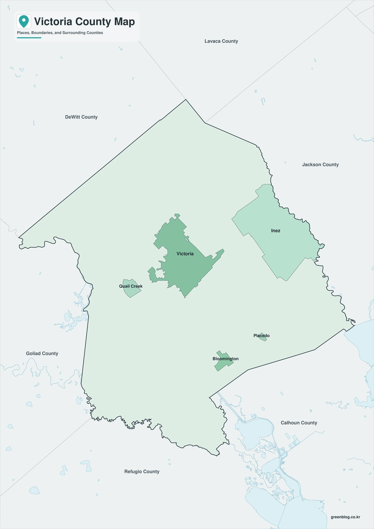
Color Map
The color version separates Victoria County from neighboring areas and helps show Victoria, Bloomington, Inez, rivers, reservoir, farmland, and industrial areas.
Black-and-White Map
The black-and-white map retains the county outline and selected place names for grayscale printing.
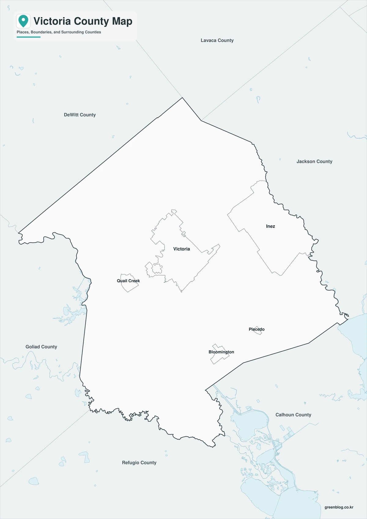
Outline Map
The outline version contains boundary lines without labels or fills, allowing custom notes and place names.
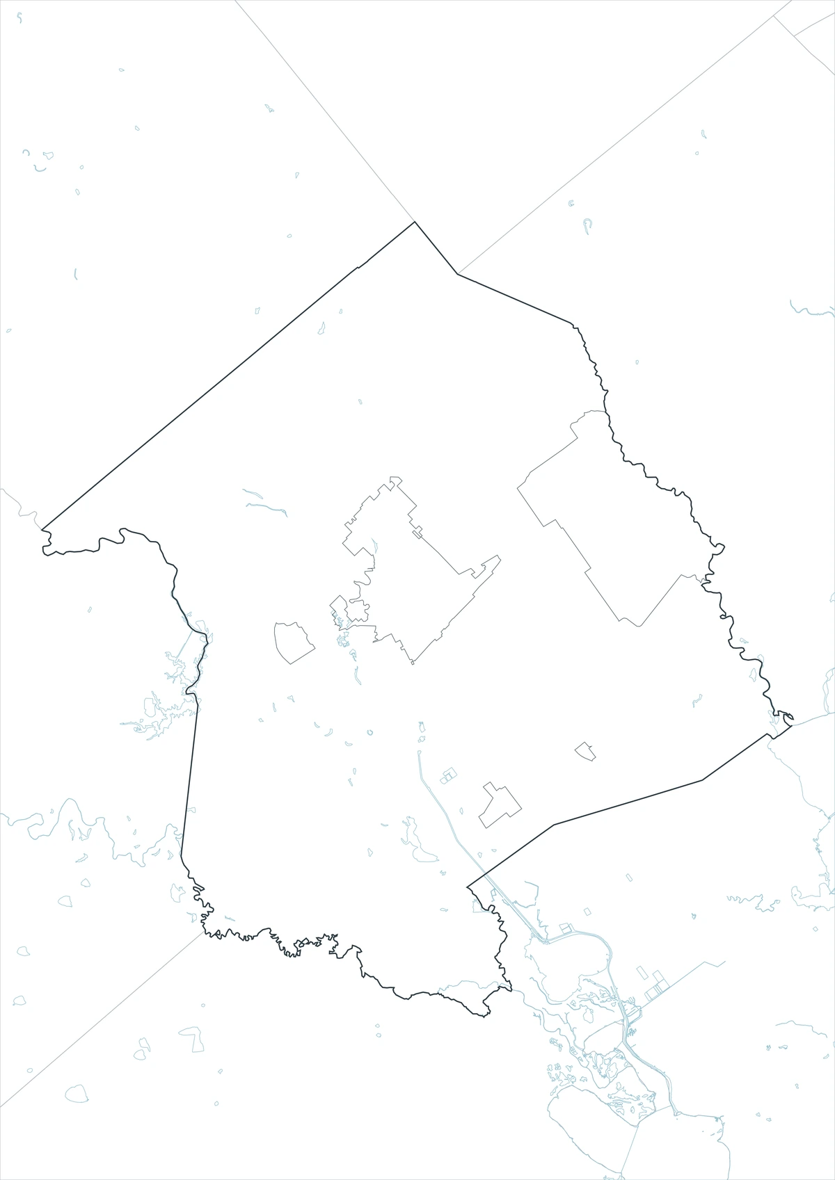
Download the Victoria County Maps
The Victoria County Texas map download contains three A3 JPG versions. Current official records should be used for legal, traffic, flood, reservoir, industrial-site, pipeline, and property decisions.
County Map File Information
This download includes color, black-and-white, and outline maps.
- Included Versions: Color, Black and White, Outline
- File Type: JPG
- Page Size: A3
Frequently Asked Questions
What is the county seat of Victoria County?
Victoria is the county seat.
Which places are the main population centers?
Victoria, Bloomington, Inez, and Placedo are major places.
Which natural features are best known?
The Guadalupe River, Coleto Creek, and Coleto Creek Reservoir are major features.
References
U.S. Census Bureau QuickFacts supplied the 2025 population estimate.
Victoria County’s official website supplied county-government information.
Texas Water Development Board and Texas Parks and Wildlife’s Coleto Creek Reservoir guide supplied reservoir-location and watershed information.
Related Maps
- Wheeler County Texas map|Wheeler, Shamrock, Mobeetie, and the Red River
- Willacy County Texas map|Raymondville, Port Mansfield, and Laguna Madre
- Uvalde County Texas map|Uvalde, Sabinal, the Nueces River, and Frio River
- Van Zandt County Texas map|Canton, Grand Saline, Van, and Lake Tawakoni
- Wilson County Texas map|Floresville, La Vernia, Poth, and Stockdale
Green Map creates custom-edited map images using open geographic data sources such as geoBoundaries, Natural Earth, OpenStreetMap, and government open data.
These maps are edited visual materials, not raw data files, and are provided for education, documents, presentations, and graphic reference.