The Val Verde County Texas map covers Southwest Texas with Del Rio, Comstock, Langtry, the Rio Grande, Amistad Reservoir, Devils River, Pecos River, limestone canyons, ranches, and military areas.
The U.S. Census Bureau estimated 47,835 residents on July 1, 2025. Del Rio is the county seat and principal center for government, healthcare, education, commerce, and border transportation.
Table of Contents
Map Coverage and Three A3 Versions
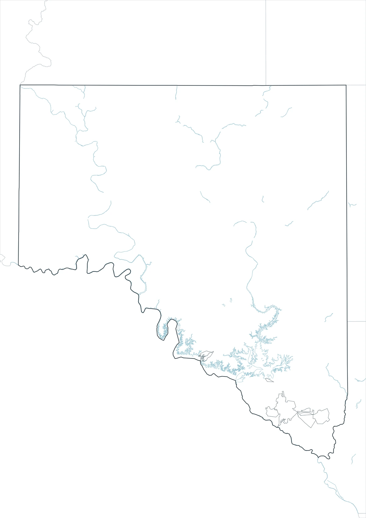
The download includes color, black-and-white, and outline maps. The labeled versions locate selected communities, rivers, reservoir arms, canyons, ranch country, and major transportation areas.
This Val Verde County Texas map focuses on the county boundary and its relationship to Crockett, Sutton, Edwards, Kinney, and Terrell counties and the international boundary with Mexico. It is not a navigation chart, international-boundary survey, military map, flood map, ranch survey, or parcel map.
| Item | Verified Detail |
|---|---|
| Location | Southwest Texas along Mexico |
| County Seat | Del Rio |
| 2025 Population Estimate | 47,835 |
| Major Places | Del Rio, Comstock, and Langtry |
| Other Areas | Lake View, Box Canyon, and Laughlin Air Force Base |
| Natural Features | Rio Grande, Amistad Reservoir, Devils River, and Pecos River |
| Regional Character | Border communities, military activity, tourism, ranching, reservoir recreation, and wilderness |
Del Rio and County Government
Del Rio is the county seat and contains the courthouse, principal county offices, schools, healthcare, commerce, and international bridge facilities.
U.S. Routes 90 and 277 connect the city with San Antonio, Eagle Pass, and West Texas.
Amistad Reservoir and the Rio Grande
Amistad Reservoir lies on the Rio Grande about 12 miles northwest of Del Rio. Fishing, boating, swimming, camping, and canyon sightseeing are major activities.
Water level, ramps, navigation routes, and international-water rules change, so current charts and official management guidance are required for boating.
Devils River and Protected Wilderness
Devils River is known for clear spring-fed water and limestone canyons. It flows south through Val Verde County into Amistad Reservoir.
Devils River State Natural Area protects more than 37,000 acres across its units. Access, camping, and paddling may require reservations, permits, and current river-level information.
Comstock, Langtry, and Western Canyons
Comstock is a small community near U.S. Route 90 and the Pecos River, while Langtry is a historic settlement near the Rio Grande in western Val Verde County.
Limestone cliffs, rock-art sites, ranches, and long highway corridors define the surrounding landscape. Historic sites and private land require current access information.
Laughlin Air Force Base and the Regional Economy
Laughlin Air Force Base east of Del Rio is a major pilot-training installation and strongly influences employment, housing, and the regional economy.
Internal military boundaries and access details are not included on a general county map and require official base guidance.
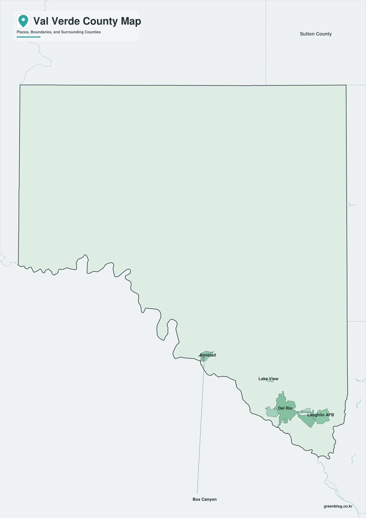
Color Map
The color version separates Val Verde County from neighboring areas and helps show Del Rio, Comstock, Langtry, rivers, reservoir, canyons, and ranch country.
Black-and-White Map
The black-and-white map retains the county outline and selected place names for grayscale printing.
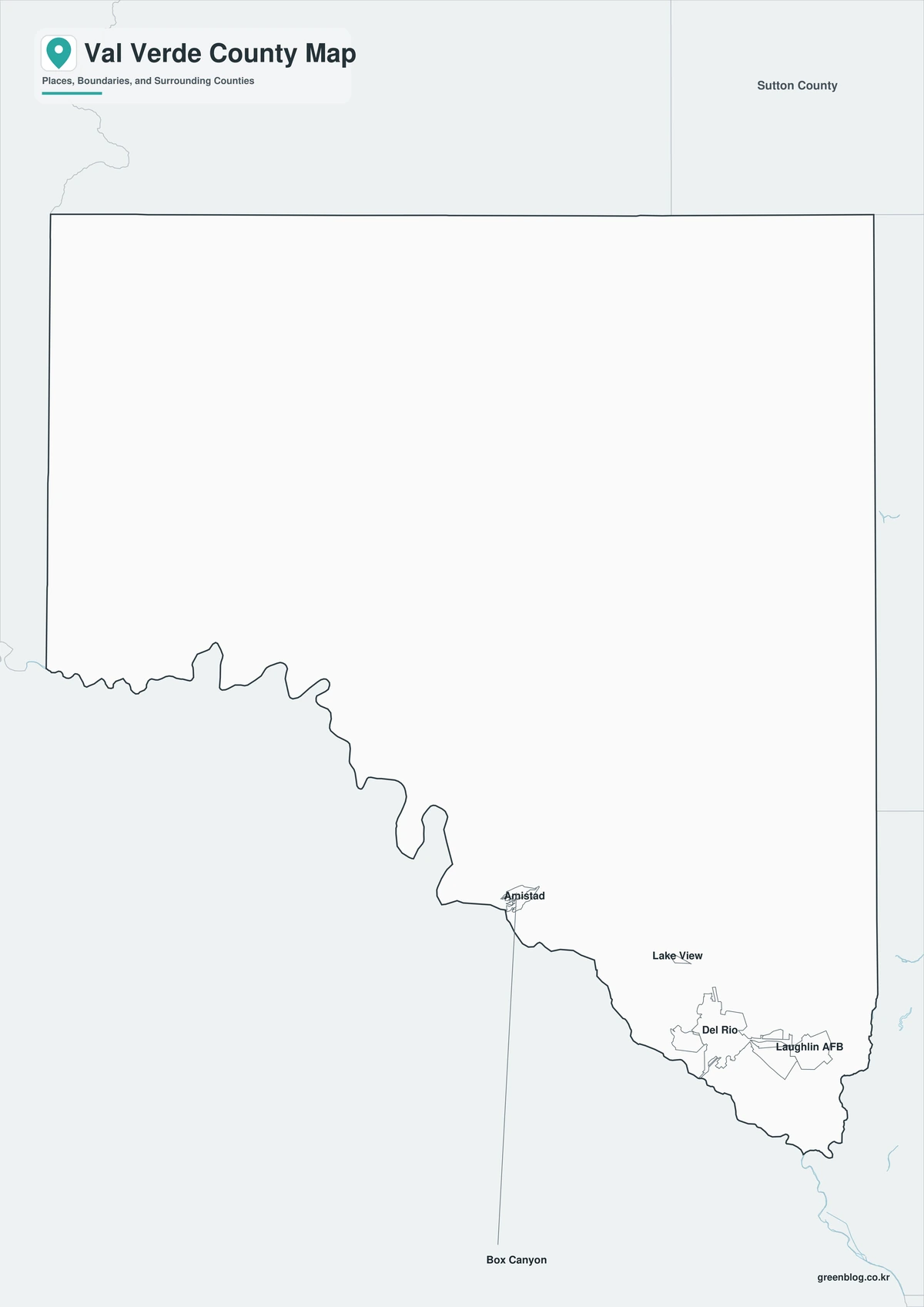
Outline Map
The outline version contains boundary lines without labels or fills, allowing custom notes and place names.
Download the Val Verde County Maps
The Val Verde County Texas map download contains three A3 JPG versions. Current official records should be used for international-boundary, navigation, water-level, military, flood, legal-boundary, and property decisions.
County Map File Information
This download includes color, black-and-white, and outline maps.
- Included Versions: Color, Black and White, Outline
- File Type: JPG
- Page Size: A3
Frequently Asked Questions
What is the county seat of Val Verde County?
Del Rio is the county seat.
Which places are the main population and visitor centers?
Del Rio, Comstock, and Langtry are major places.
Which natural features are best known?
The Rio Grande, Amistad Reservoir, Devils River, and Pecos River are major features.
References
U.S. Census Bureau QuickFacts supplied the 2025 population estimate.
Val Verde County’s official website supplied county-seat and government information.
Texas Parks and Wildlife’s Amistad Reservoir guide and Devils River State Natural Area guide supplied reservoir, river, and protected-area information.
Related Maps
- Wichita County Texas map|Wichita Falls, Burkburnett, and the Red River
- Zavala County Texas map|Crystal City, La Pryor, Batesville, and the Nueces River
- Uvalde County Texas map|Uvalde, Sabinal, the Nueces River, and Frio River
- Winkler County Texas map|Kermit, Wink, and the Permian Basin
- Wilbarger County Texas map|Vernon, the Pease River, and the Red River
Green Map creates custom-edited map images using open geographic data sources such as geoBoundaries, Natural Earth, OpenStreetMap, and government open data.
These maps are edited visual materials, not raw data files, and are provided for education, documents, presentations, and graphic reference.