The Wharton County Texas map covers a Gulf Coastal Plain county southwest of Houston with Wharton, El Campo, East Bernard, Boling, the Colorado River, agricultural land, wetlands, and nearby Lake Texana.
The U.S. Census Bureau estimated 42,060 residents on July 1, 2025. Wharton is the county seat, while El Campo is the largest city.
Table of Contents
Map Coverage and Three A3 Versions
The download includes color, black-and-white, and outline maps. The labeled versions locate selected cities, communities, rivers, farmland, wetlands, and transportation corridors.
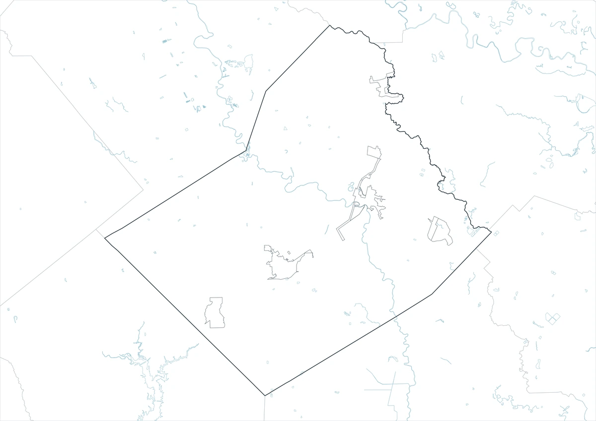
This Wharton County Texas map focuses on the county boundary and its relationship to Colorado, Austin, Fort Bend, Brazoria, Matagorda, and Jackson counties. It is not a road atlas, flood map, levee map, drainage survey, farm-parcel map, or legal property survey.
| Item | Verified Detail |
|---|---|
| Location | Southeast Texas Gulf Coastal Plain |
| County Seat | Wharton |
| 2025 Population Estimate | 42,060 |
| Major Cities | Wharton, El Campo, and East Bernard |
| Other Communities | Boling, Louise, and Hungerford |
| Natural Features | Colorado River, San Bernard River, and nearby Lake Texana |
| Regional Character | Agriculture, ranching, food processing, manufacturing, logistics, and wet coastal plains |
Wharton and County Government
Wharton is the county seat and contains the courthouse, principal county offices, schools, healthcare, and local commerce. The Colorado River passes through the city.
U.S. Route 59 and State Highway 60 connect Wharton with Houston, Victoria, and Gulf Coast communities.
El Campo and Western Agricultural Areas
El Campo is the county’s largest city and a center for agriculture, food processing, manufacturing, and regional commerce.
Rice, corn, cotton fields, ranches, irrigation systems, and rural communities surround the city.
East Bernard and Northeastern Wharton County
East Bernard is a northeastern city connecting rural areas with Fort Bend and Austin counties.
The San Bernard River, farmland, and low-density residential areas shape the surrounding landscape.
Colorado River and Floodplain
The Colorado River crosses central Wharton County and strongly influences agriculture, ecology, drainage, and flood risk.
River levels and levee conditions can change, so current official information is required for river access and emergency decisions.
Lake Texana and Southern Watersheds
Lake Texana lies primarily in Jackson County but is a major reservoir near southwestern Wharton County communities. Fishing, boating, and outdoor recreation draw regional visitors.
Current lake level, boat access, and park operations should be checked before travel.
Color Map
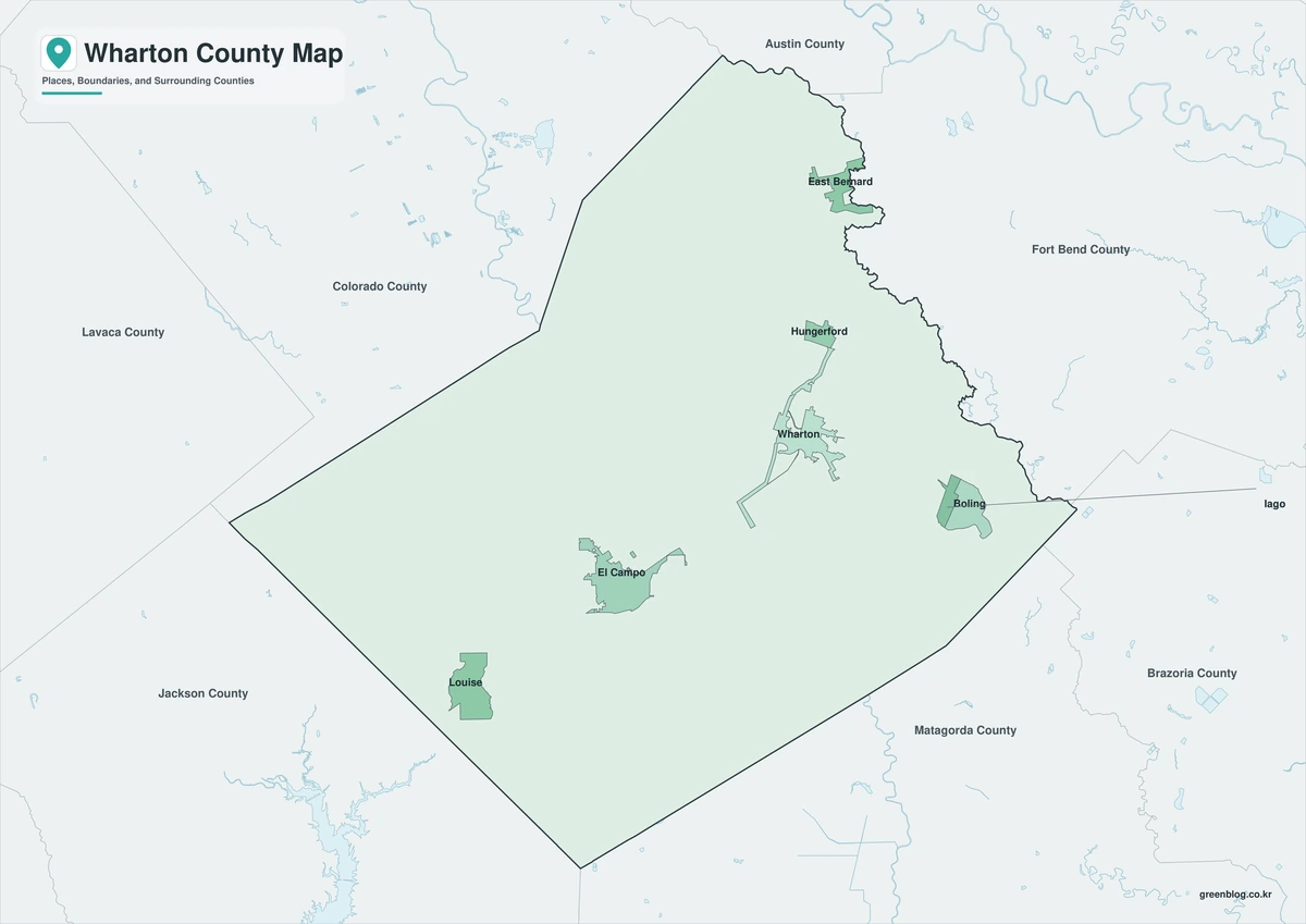
The color version separates Wharton County from neighboring counties and helps show Wharton, El Campo, East Bernard, rivers, farmland, and wetlands.
Black-and-White Map
The black-and-white map retains the county outline and selected place names for grayscale printing.
Outline Map
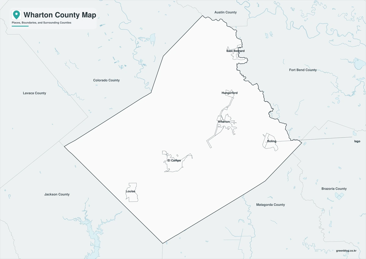
The outline version contains boundary lines without labels or fills, allowing custom notes and place names.
Download the Wharton County Maps
The Wharton County Texas map download contains three A3 JPG versions. Current official records should be used for legal, traffic, flood, levee, drainage, emergency, and property decisions.
County Map File Information
This download includes color, black-and-white, and outline maps.
- Included Versions: Color, Black and White, Outline
- File Type: JPG
- Page Size: A3
Frequently Asked Questions
What is the county seat of Wharton County?
Wharton is the county seat.
Which cities are the major population centers?
Wharton, El Campo, and East Bernard are the principal cities.
Which natural features are best known?
The Colorado River, San Bernard River, and Gulf Coastal Plain farmland and wetlands are major features.
References
U.S. Census Bureau QuickFacts supplied the 2025 population estimate.
Wharton County’s official website supplied county-government and city information.
The City of Wharton’s official website supplied Colorado River and flood-reduction information.
Related Maps
- Zapata County Texas map|Zapata, San Ygnacio, and Falcon Lake
- Washington County Texas map|Brenham, Burton, and Lake Somerville
- Winkler County Texas map|Kermit, Wink, and the Permian Basin
- Webb County Texas map|Laredo, Rio Bravo, and the Rio Grande
- Wise County Texas map|Decatur, Bridgeport, and Lake Bridgeport
Green Map creates custom-edited map images using open geographic data sources such as geoBoundaries, Natural Earth, OpenStreetMap, and government open data.
These maps are edited visual materials, not raw data files, and are provided for education, documents, presentations, and graphic reference.