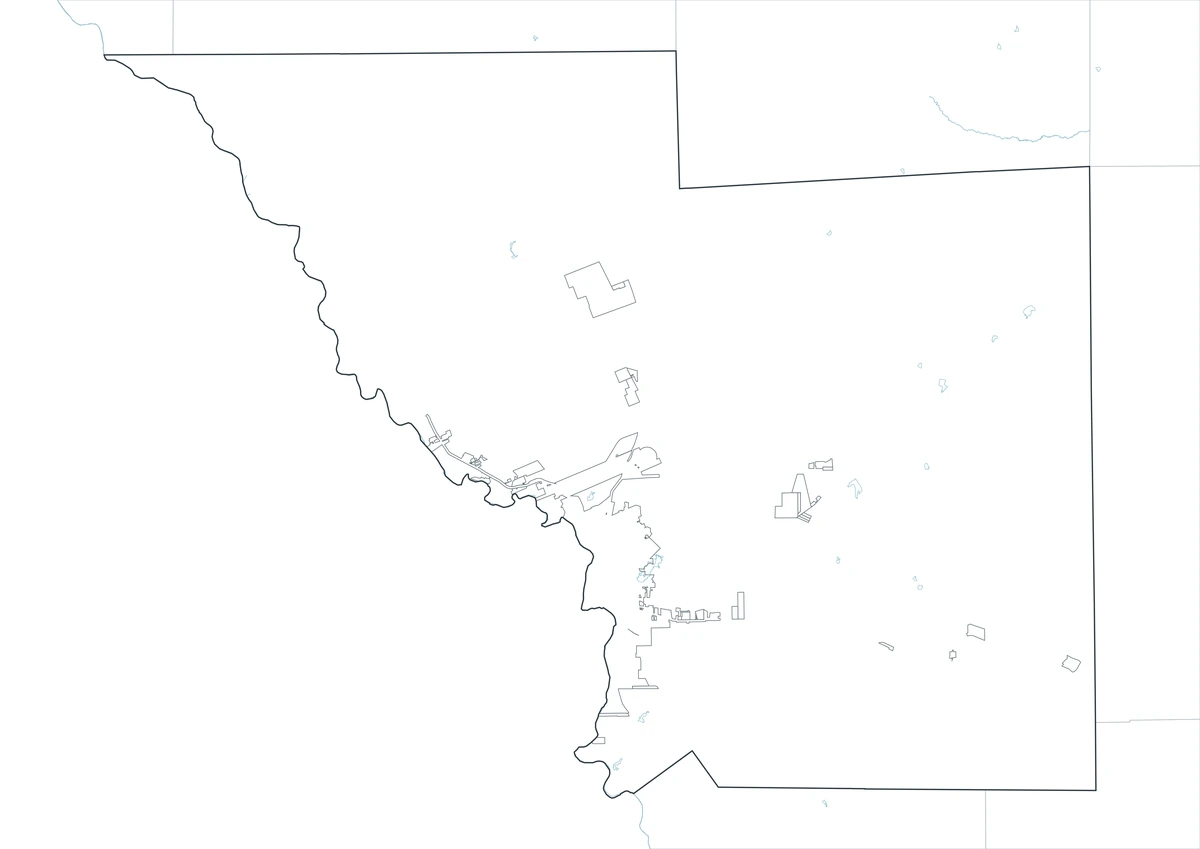
The Webb County Texas map covers a South Texas border county with Laredo, Rio Bravo, El Cenizo, the Rio Grande, Lake Casa Blanca, ranch land, oil and gas areas, and extensive brush country.
The U.S. Census Bureau estimated 281,224 residents on July 1, 2025. Laredo is the county seat and dominates the county’s population, government, international trade, transportation, and logistics.
Table of Contents
Map Coverage and Three A3 Versions
The download includes color, black-and-white, and outline maps. The labeled versions locate selected cities, communities, the Rio Grande, Lake Casa Blanca, ranch land, and broad energy areas.
This Webb County Texas map focuses on the county boundary and its relationship to Dimmit, La Salle, Duval, Jim Hogg, and Zapata counties and the international boundary with Mexico. It is not an international-boundary survey, customs map, navigation chart, security map, pipeline map, or parcel survey.
| Item | Verified Detail |
|---|---|
| Location | South Texas Rio Grande border region |
| County Seat | Laredo |
| 2025 Population Estimate | 281,224 |
| Major Cities | Laredo, Rio Bravo, and El Cenizo |
| Other Communities | Bruni, Oilton, Mirando City, and Ranchitos Las Lomas |
| Natural Features | Rio Grande, Lake Casa Blanca, and South Texas Brush Country |
| Regional Character | International trade, logistics, manufacturing, oil and gas, ranching, and cross-border transportation |
Laredo and County Government
Laredo is the county seat and principal city, containing the courthouse, county offices, international bridges, customs and logistics facilities, schools, universities, healthcare, and regional commerce.
Interstate 35 and U.S. Route 83 connect the border with inland Texas and communities farther south.
Rio Bravo and El Cenizo
Rio Bravo and El Cenizo are incorporated cities south of Laredo near the Rio Grande. Residential areas, schools, local commerce, and border roads shape these communities.
River access and travel in international-border areas require current federal, state, county, and landowner guidance.
Lake Casa Blanca
Lake Casa Blanca International State Park protects a reservoir and surrounding South Texas brush country east of Laredo. Fishing, boating, swimming, camping, hiking, and wildlife viewing are common activities.
Texas Parks and Wildlife places the park on the western edge of the South Texas Brush Country. Current water level, park alerts, and access conditions should be checked before travel.
Bruni, Oilton, and Eastern Webb County
Bruni, Oilton, and Mirando City are unincorporated communities in eastern Webb County associated with oil and gas activity, ranching, and regional roads.
Wells, pipelines, work roads, and private-property boundaries change over time, so current industry and property records are required for field operations.
Rio Grande and Brush Country
The Rio Grande forms the county’s western international boundary. Floodplain, brush, farmland, and urban areas occur along the river, while thornscrub and ranches dominate much of the interior.
Water levels, flooding, and security conditions can change, so current official information is required for river access and emergency decisions.
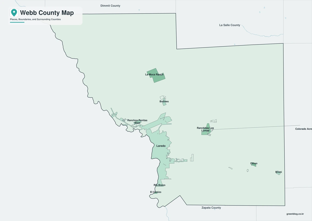
Color Map
The color version separates Webb County from neighboring areas and helps show Laredo, Rio Bravo, El Cenizo, the Rio Grande, Lake Casa Blanca, ranches, and brush country.
Black-and-White Map
The black-and-white map retains the county outline and selected place names for grayscale printing.
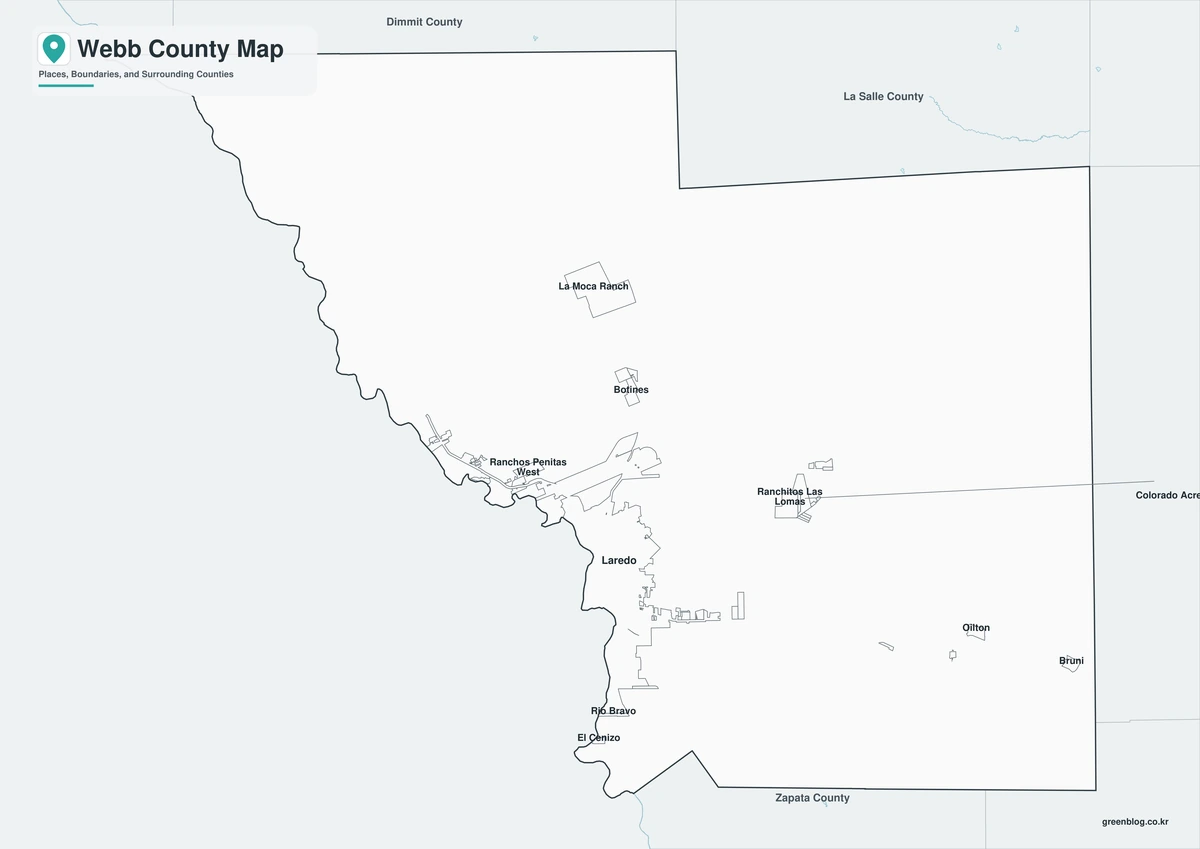
Outline Map
The outline version contains boundary lines without labels or fills, allowing custom notes and place names.
Download the Webb County Maps
The Webb County Texas map download contains three A3 JPG versions. Current official records should be used for international-boundary, traffic, flood, security, oilfield, pipeline, legal-boundary, and property decisions.
County Map File Information
This download includes color, black-and-white, and outline maps.
- Included Versions: Color, Black and White, Outline
- File Type: JPG
- Page Size: A3
Frequently Asked Questions
What is the county seat of Webb County?
Laredo is the county seat.
Which cities are the major population centers?
Laredo, Rio Bravo, and El Cenizo are the principal cities.
Which natural features are best known?
The Rio Grande, Lake Casa Blanca, and South Texas Brush Country are major features.
References
U.S. Census Bureau QuickFacts supplied the 2025 population estimate.
Webb County’s official website and official budget documents supplied county-seat and government information.
Texas Parks and Wildlife’s Lake Casa Blanca International State Park guide supplied lake and natural-area information.
Related Maps
- Winkler County Texas map|Kermit, Wink, and the Permian Basin
- Williamson County Texas map|Georgetown, Round Rock, Cedar Park, and Leander
- Wise County Texas map|Decatur, Bridgeport, and Lake Bridgeport
- Washington County Texas map|Brenham, Burton, and Lake Somerville
- Free Printable Texas Map Set for Education, Presentations and Editing
Green Map creates custom-edited map images using open geographic data sources such as geoBoundaries, Natural Earth, OpenStreetMap, and government open data.
These maps are edited visual materials, not raw data files, and are provided for education, documents, presentations, and graphic reference.