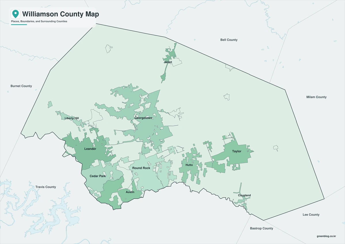
The Williamson County Texas map covers a fast-growing Central Texas county north of Austin, including Georgetown, Round Rock, Cedar Park, Leander, Hutto, Taylor, the San Gabriel River, Lake Georgetown, and Brushy Creek.
The U.S. Census Bureau estimated 752,827 residents on July 1, 2025, a 23.6% increase from the April 2020 estimates base. Georgetown is the county seat.
Table of Contents
Map Coverage and Three A3 Versions
The download includes color, black-and-white, and outline maps. The labeled versions locate selected cities and towns, rivers, lakes, trails, and major growth areas.
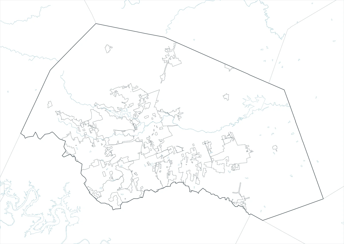
This Williamson County Texas map focuses on the county boundary and its relationship to Bell, Milam, Lee, Bastrop, Travis, and Burnet counties. It is not a road atlas, flood map, detailed municipal-boundary map, special-district map, or parcel survey.
| Item | Verified Detail |
|---|---|
| Location | Central Texas north of Austin |
| County Seat | Georgetown |
| 2025 Population Estimate | 752,827 |
| Major Cities | Georgetown, Round Rock, Cedar Park, Leander, Hutto, and Taylor |
| Growth Areas | Liberty Hill, Jarrell, and eastern Taylor industrial districts |
| Natural Features | San Gabriel River, Lake Georgetown, Brushy Creek, and Granger Lake |
| Regional Character | Suburban growth, technology and semiconductor activity, manufacturing, education, logistics, and outdoor recreation |
Georgetown and County Government
Georgetown is the county seat and contains the courthouse, principal county offices, higher education, healthcare, a historic downtown, and regional commerce.
The North and South Forks of the San Gabriel River meet near Georgetown, while Lake Georgetown and Blue Hole Park provide major outdoor recreation areas.
Round Rock and the North Austin Corridor
Round Rock is one of the county’s largest urban centers, with housing, technology employers, healthcare, shopping, and sports facilities concentrated around Interstate 35.
Brushy Creek forms an important recreation corridor toward Cedar Park. The county park system includes the Brushy Creek Regional Trail.
Cedar Park, Leander, and Western Growth
Cedar Park and Leander are major residential and commercial growth areas connected to the northwestern Austin commuting region. Liberty Hill and Jarrell have also expanded rapidly.
Development boundaries and roads change, so current county GIS information is important for address and jurisdiction questions.
Hutto, Taylor, and Eastern Industry
Hutto is a rapidly growing residential and commercial city east of Round Rock. Taylor is a historic railroad and agricultural center where large manufacturing and semiconductor investments are expanding the industrial landscape.
Granger, Thrall, Bartlett, and Coupland are surrounded by farms, ranches, small towns, and low-density rural land.
San Gabriel River and County Parks
The San Gabriel River and its forks, Lake Georgetown, Granger Lake, and Brushy Creek support fishing, boating, hiking, cycling, and wildlife viewing.
Official county parks include Berry Springs Park, Brushy Creek Regional Trail, River Ranch County Park, and Twin Lakes Park. Water levels and trail conditions should be checked before travel.
Color Map
The color version separates Williamson County from neighboring counties and helps show Georgetown, Round Rock, Cedar Park, Leander, Hutto, Taylor, rivers, lakes, and growth corridors.
Black-and-White Map
The black-and-white map retains the county outline and selected place names for grayscale printing.
Outline Map
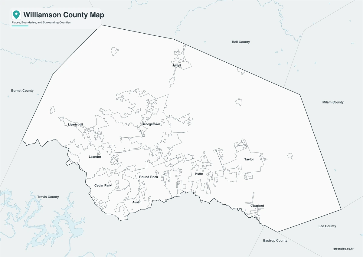
The outline version contains boundary lines without labels or fills, allowing custom notes and place names.
Download the Williamson County Maps
The Williamson County Texas map download contains three A3 JPG versions. Current official records should be used for legal, traffic, flood, emergency, municipal-boundary, special-district, and property decisions.
County Map File Information
This download includes color, black-and-white, and outline maps.
- Included Versions: Color, Black and White, Outline
- File Type: JPG
- Page Size: A3
Frequently Asked Questions
What is the county seat of Williamson County?
Georgetown is the county seat.
Which cities are the major population centers?
Georgetown, Round Rock, Cedar Park, Leander, Hutto, and Taylor are major population centers.
Which natural features are best known?
The San Gabriel River, Lake Georgetown, Brushy Creek, and Granger Lake are major features.
References
U.S. Census Bureau QuickFacts supplied the 2025 population estimate.
Williamson County’s official municipalities page supplied information about cities, towns, and recent growth.
Williamson County’s parks and trails page supplied information about Brushy Creek Regional Trail and county parks.
Related Maps
Green Map creates custom-edited map images using open geographic data sources such as geoBoundaries, Natural Earth, OpenStreetMap, and government open data.
These maps are edited visual materials, not raw data files, and are provided for education, documents, presentations, and graphic reference.