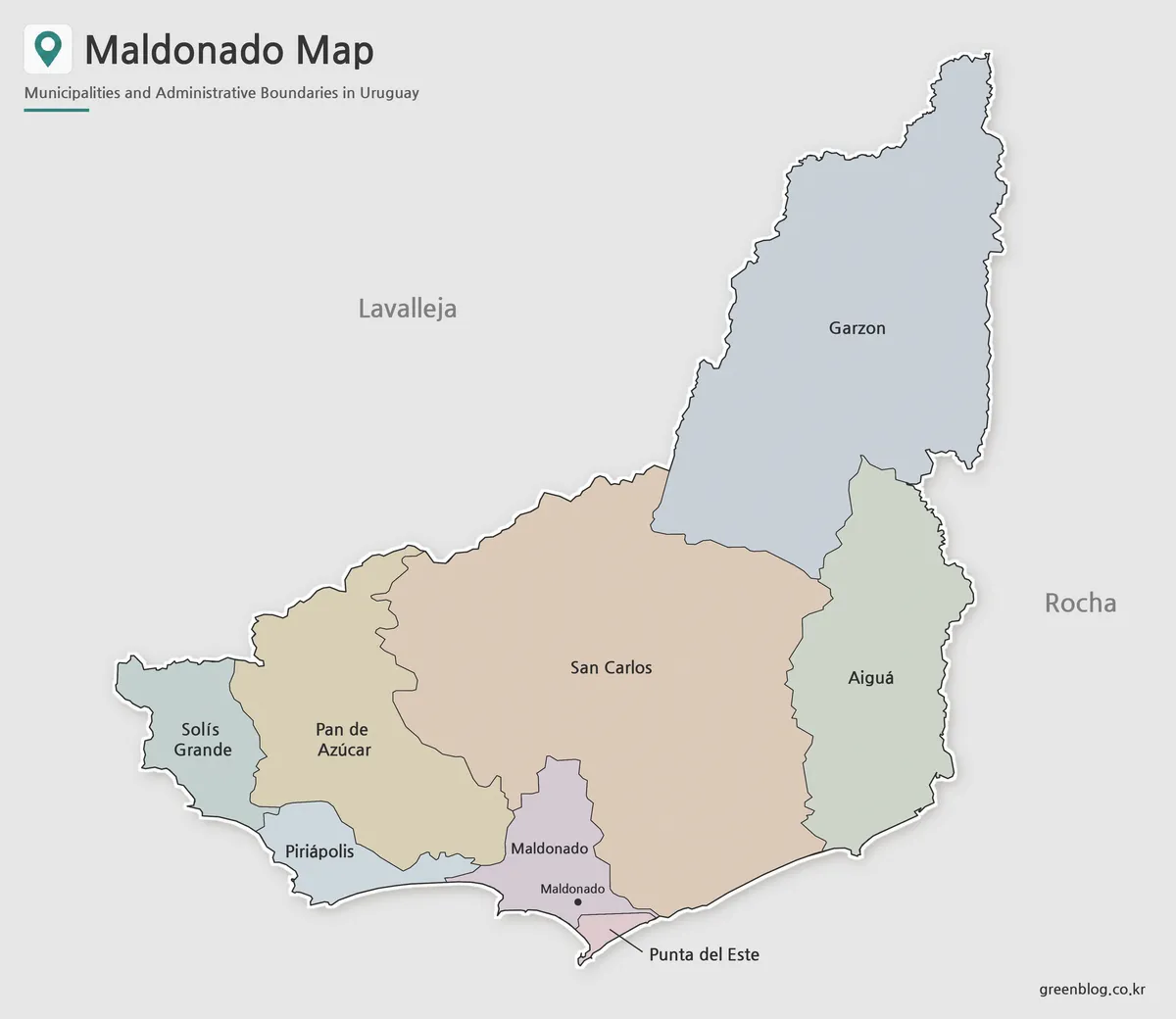
A Treinta y Tres map offers a practical way to understand the wide plains, scattered communities, and eastern border setting of this Uruguayan department. The capital city of Treinta y Tres is located near the central part of the department, while Cerro Chato and Santa Clara de Olimar lie farther north and northwest. Vergara occupies the eastern interior, and General Enrique Martínez, also known as La Charqueada, is positioned toward the southeast near the Cebollatí River.
These communities do not form one closely connected urban area. Large rural spaces, agricultural land, rivers, and wetlands separate the main population centers, making direction and distance difficult to understand from place names alone. The department borders Cerro Largo to the north, Durazno and Florida to the west, and Lavalleja and Rocha to the south. Its eastern side faces Laguna Merín, with Brazil beyond the lagoon.
The downloadable collection includes color, black and white, and outline image files. Each style serves a separate purpose: the color version supports quick regional comparison, the labeled monochrome map works well in reports and printed handouts, and the blank outline provides space for original notes or data. A Treinta y Tres map can therefore support classroom activities, regional presentations, agricultural projects, blog graphics, and editable infographic work without forcing every user into the same design.
Table of Contents
How to Read the Treinta y Tres Map
The Treinta y Tres map reveals a regional structure built around several separated local centers rather than one dense metropolitan zone. Treinta y Tres city serves as the departmental capital, while the municipalities and smaller communities are spread toward the northern boundary, eastern agricultural plains, and southeastern river areas.
Vergara is an important reference point east of the capital and is closely associated with the department’s rice-growing region. Santa Clara de Olimar lies in the northwestern interior, while Cerro Chato is near an area where the boundaries of several departments meet. General Enrique Martínez is situated near the Cebollatí River and is widely known by the local name La Charqueada.
Current departmental information lists Cerro Chato, General Enrique Martínez, Rincón, Santa Clara de Olimar, Vergara, and Villa Sara among the municipal governments of Treinta y Tres. Official contact listings also identify these six municipalities individually.
Color Map for Comparing Dispersed Areas
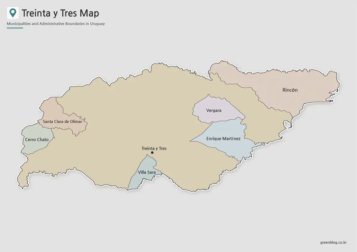
The color Treinta y Tres map helps distinguish relatively small municipal areas from the broad rural background surrounding them. Color separation is especially useful here because the communities are not arranged along one compact corridor. Northern municipalities, the capital area, the eastern agricultural zone, and the southeastern river communities can be compared without relying only on labels.
For a presentation about eastern Uruguay, the colored layout makes the department’s relationship with Laguna Merín easier to explain. It also helps readers see the contrast between inland communities such as Santa Clara de Olimar and the lower, wetter areas toward Vergara and General Enrique Martínez.
Students encountering the names for the first time can associate each place with a direction and colored area. This makes the file useful for regional comparison assignments and introductory geography lessons.
Clear Labels in the Black and White Version
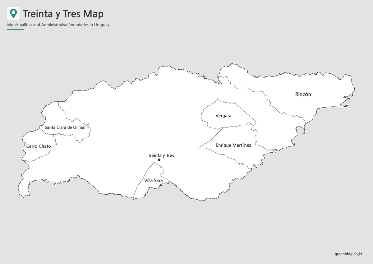
The black and white Treinta y Tres map reduces visual detail so that place names and boundary lines remain the main focus. This is helpful in a department where labels are spread across a large page rather than crowded into one urban center.
In printed reports, the simple background allows Treinta y Tres, Vergara, Cerro Chato, Santa Clara de Olimar, and other locations to remain readable beside written explanations. The map can also accompany information about neighboring departments without making the page feel overly decorative.
For classroom handouts, monochrome printing keeps the document economical while preserving the geographic relationships needed for an assignment. It is also a natural choice for administrative summaries, local research projects, and presentation notes.
Outline Map as a Working Base
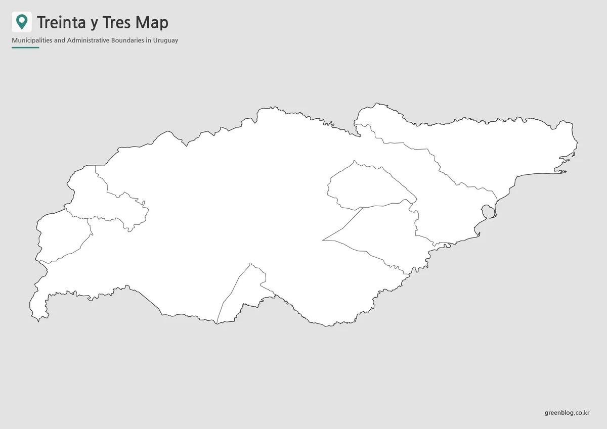
The outline Treinta y Tres map keeps the department shape and internal municipal boundaries while removing most labels and fills. Instead of functioning only as a simplified preview, it gives users a base for building their own visual material.
A geography worksheet may ask students to place the capital, municipalities, neighboring departments, and Laguna Merín. An agricultural presentation can use the same outline to shade rice-growing areas in the eastern lowlands. Environmental projects may add the Olimar River, Cebollatí River, wetlands, or lagoon-side areas.
Designers can also mark population centers, travel directions, tourism points, production data, or regional comparisons. Because the background is uncluttered, the file adapts well to infographic annotations and blog graphics.
Rivers, Wetlands, and the Eastern Border
Treinta y Tres is part of Uruguay’s eastern interior, but its geography is strongly connected with water. The Olimar River crosses the department, while the Cebollatí River and Laguna Merín influence the lower eastern and southeastern landscapes. These areas include wetlands and broad agricultural plains, creating a different visual character from the drier inland regions farther west.
The eastern lagoon also forms part of the wider boundary area between Uruguay and Brazil. This makes the department useful in presentations that compare national borders, river basins, agricultural zones, and local settlement patterns.
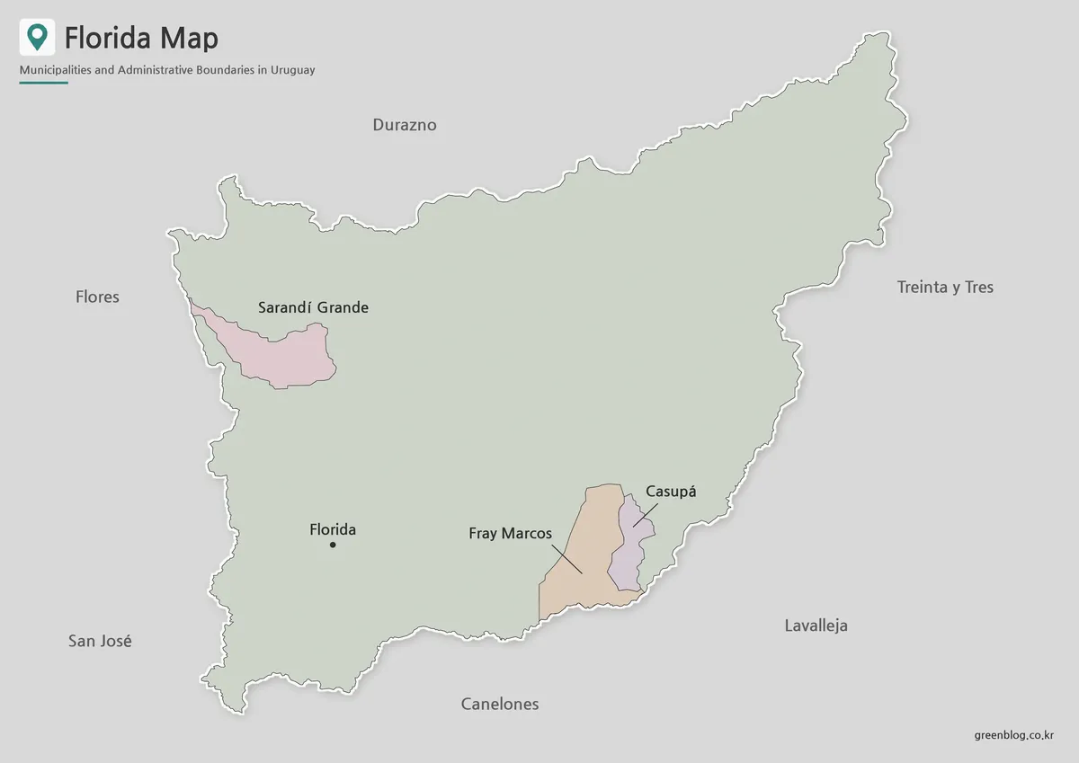
Cerro Largo lies to the north, while Rocha and Lavalleja connect the department with southeastern Uruguay. Durazno and Florida provide the western connection toward the country’s central interior. Viewing these relationships together explains why the department cannot be understood only through its capital city.
Practical Uses for the Three Files
A Treinta y Tres map can be used in school projects comparing Uruguay’s 19 departments. Students may begin with the color version, use the labeled map to check names, and complete an exercise with the blank outline.
Presentation creators can use the color file to introduce the regional layout and switch to the outline version when discussing agriculture, rivers, or travel directions. The black and white map works well as a supporting page in a report or printed reference packet.
Bloggers and video creators may also use the files as background material for regional stories. Since each version retains the same overall geography, the visual style can change without losing consistency across the project.
Frequently Asked Questions
Which places appear on the maps?
The maps focus on Treinta y Tres city and major municipal areas such as Vergara, Cerro Chato, Santa Clara de Olimar, General Enrique Martínez, Rincón, and Villa Sara.
Where is Treinta y Tres Department located?
It is in eastern Uruguay. The department borders Cerro Largo, Durazno, Florida, Lavalleja, and Rocha, while Laguna Merín lies along its eastern side.
Which version works best for printed documents?
The black and white version is the most suitable when names and boundaries must remain clear in reports, handouts, and ordinary office printing.
What can be added to the outline map?
Users can add city markers, rivers, agricultural areas, wetlands, population data, routes, tourism points, and classroom labels.
What is included in the Treinta y Tres map collection?
The collection contains color, black and white, and outline image files for educational, presentation, document, and graphic-editing projects.
Download Information
Map File Information
This download includes printable Treinta y Tres map versions for educational use, presentation design, document printing, and editable graphic projects.
- Included Versions: Color map, black and white map, outline map
- File Type: Image files
- Intended Use: Classroom handouts, presentations, blog graphics, infographic editing, and printable reference materials
Related Maps
- Rocha Department Map
- Cerro Largo Department Map
- Durazno Department Map
- Florida Department Map
- Lavalleja Department Map
- Uruguay Map
Additional Resources
- Government of Treinta y Tres : The department’s official website provides information about local government, municipalities, public services, and regional activities.
Green Map creates custom-edited map images using open geographic data sources such as geoBoundaries, Natural Earth, OpenStreetMap, and government open data. These maps are edited visual materials, not raw data files, and are provided for education, documents, presentations, and graphic reference.