Lavalleja Map files are useful when a simple location marker is not enough to explain how this inland department connects with southeastern Uruguay. Lavalleja lies between Florida to the west and northwest, Treinta y Tres to the northeast, Rocha to the east and southeast, Maldonado to the south, and Canelones to the southwest. Its capital, Minas, sits in the southern part of the department, while José Batlle y Ordóñez and José Pedro Varela are farther north, Mariscala is near the center, and Solís de Mataojo is positioned in the southwest.
The department covers about 10,016 square kilometers and has a relatively low population density, so towns and local centers are spread across a broad rural area rather than concentrated in one compact urban zone. That layout is one reason a labeled map is more helpful than a short written description. Readers can compare the position of Minas with the northern municipalities, understand which areas are closer to neighboring departments, and see how the department forms a transition between inland Uruguay and the southern coastal region.
This printable collection includes color, black and white, and outline versions prepared around an A3 layout. The Lavalleja Map set works well for geography lessons, regional presentations, blog graphics, document inserts, and infographic projects. The color map supports fast visual comparison, the basic version emphasizes labels and boundary lines, and the outline version provides a clean working base for custom notes, routes, tourism points, or statistical data.
Table of Contents
Regional Layout Shown on the Lavalleja Map
The labeled layout focuses on the department boundary, internal municipal areas, and the main places that help readers understand the regional structure. Minas is marked as the departmental capital, while José Batlle y Ordóñez, José Pedro Varela, Mariscala, and Solís de Mataojo appear in their approximate administrative positions.
Other municipalities in the department include Pirarajá and Zapicán. Rather than filling every open area with small locality names, the map keeps the main administrative pattern readable. This is especially important in the south, where smaller municipal zones and longer labels occupy less space than the broad central and northern areas.
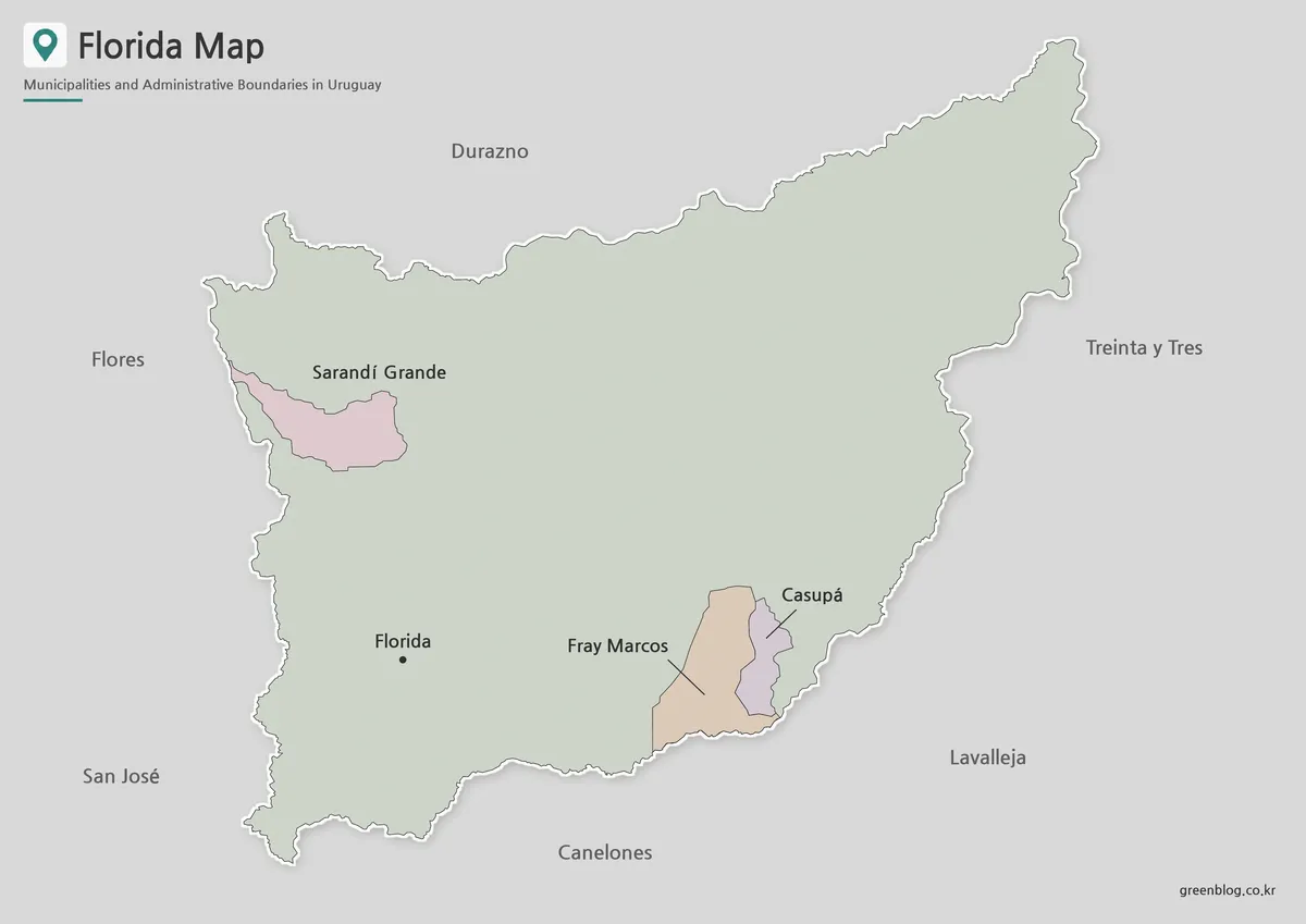
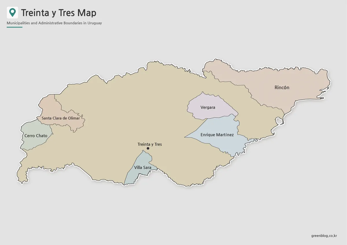
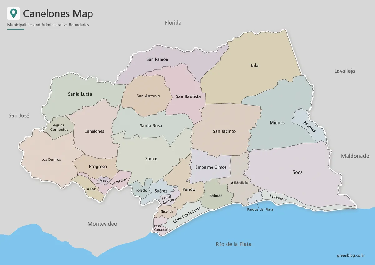
The neighboring departments also provide useful context. Florida follows much of the western side, Treinta y Tres meets the northeast, Rocha borders the east and southeast, Maldonado lies directly south, and Canelones touches the southwest. Together, these borders show why Lavalleja is considered an inland department even though it is located close to Uruguay’s southern coastal zone.
Color Map for Comparing Municipal Areas
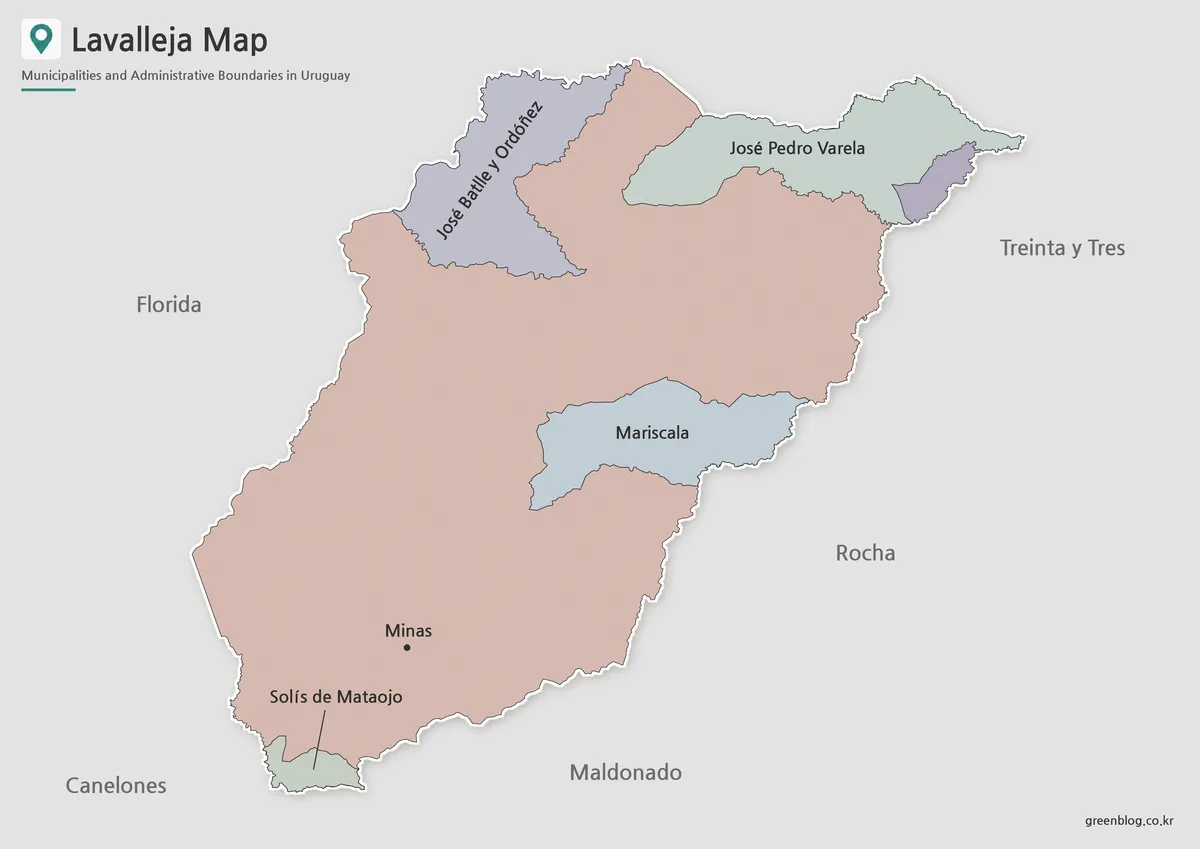
On the color Lavalleja Map, the main municipal areas are separated visually so readers can identify the northern, central, and southern sections without tracing every line. The contrast is particularly helpful when comparing José Batlle y Ordóñez and José Pedro Varela in the north with Mariscala near the center and the Minas area farther south.
Color also makes the relationship between smaller municipal zones and the larger non-municipal areas easier to discuss in a classroom or presentation. When the image is used in a blog post about Uruguay’s departments, viewers can understand the broad layout before reading the detailed labels.
Black and White Version for Documents
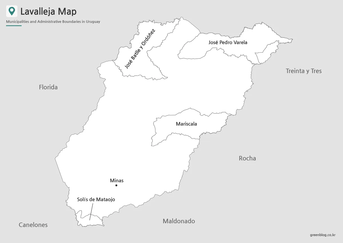
For reports, printed handouts, and assignment sheets, the black and white Lavalleja Map keeps attention on place names, boundary lines, and the capital marker. Removing the color blocks gives tables, notes, and surrounding text more visual space, which is useful when the map is inserted into a document rather than shown as a standalone image.
The A3 layout is especially helpful for longer names such as José Batlle y Ordóñez and José Pedro Varela. At a larger print size, the labels remain easier to read, while the narrow Solís de Mataojo area can be identified through its leader line. This version is also suitable for monochrome printing where strong color contrast is unnecessary.
Outline Map as a Working Base
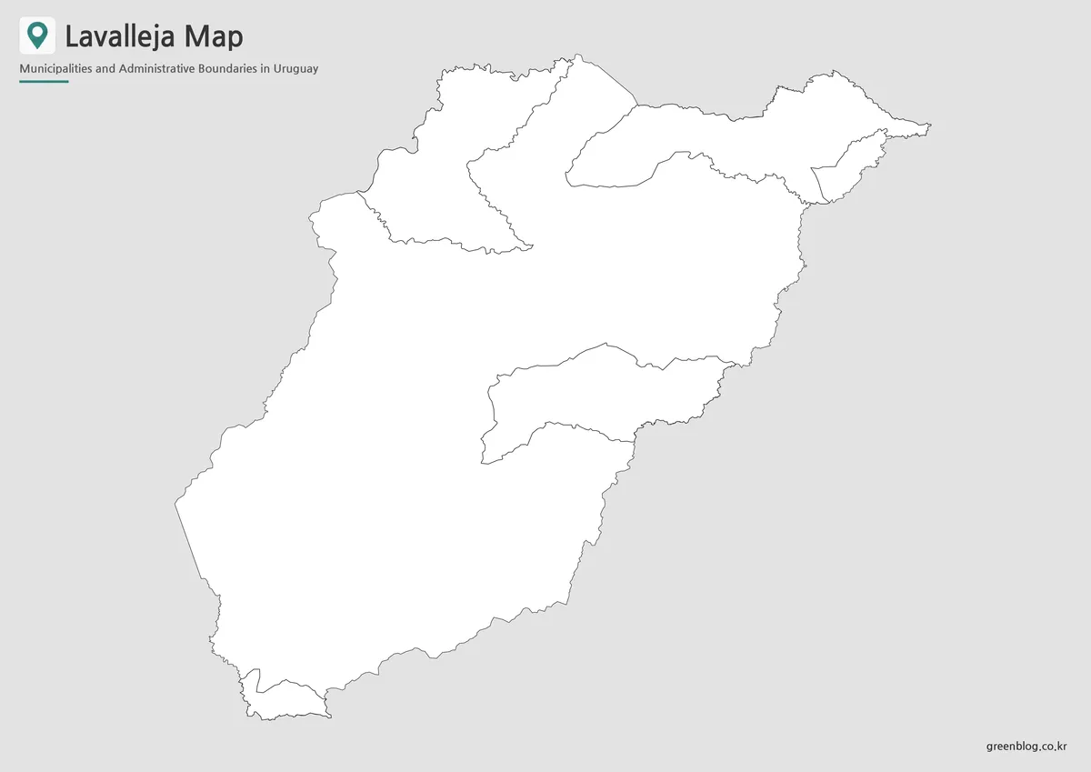
The outline Lavalleja Map leaves the internal borders and outer department shape visible while removing decorative color. That cleaner structure gives teachers, designers, and students room to add information suited to a specific project.
Possible additions include travel routes from Minas, markers for Villa Serrana, Cerro Arequita, Salto del Penitente, population notes, road references, or custom regional groupings. In a geography worksheet, students can label municipalities or color neighboring areas. In a travel presentation, the same base can be used to connect Minas with mountain and nature destinations across the department.
Mountain Landscape and Distributed Settlements
Lavalleja is known for hills, ridges, wooded areas, streams, and inland scenery. Cerro Arequita, Villa Serrana, Salto del Penitente, and Cerro Verdún are among the places commonly associated with the department’s landscape. These features are not drawn as terrain on the administrative maps, but they help explain why settlements are spread across the department rather than arranged around one dense metropolitan area.
Minas functions as the main administrative and service center in the south. The northern towns are considerably farther away, which makes the Lavalleja Map useful for explaining distance, orientation, and regional access. A map that combines internal divisions with neighboring departments gives more context than a simple outline of the department alone.
Practical Uses for the Map Files
The collection can support several types of projects:
- Classroom lessons about Uruguay’s departments
- School assignments and printable study sheets
- Regional comparison slides
- Blog graphics about Minas and inland Uruguay
- Tourism route planning
- Municipality-based infographic work
- Document inserts and presentation references
- Custom coloring and labeling activities
Choose the color version when the main goal is quick comparison. Select the basic map when labels and clean printing matter most. Start with the outline version when the project requires custom symbols, city markers, routes, or additional data.
Frequently Asked Questions
What is the capital shown on the Lavalleja Map?
The departmental capital is Minas, located in the southern part of Lavalleja.
Which departments border Lavalleja?
Lavalleja shares boundaries with Florida, Treinta y Tres, Rocha, Maldonado, and Canelones.
Does the map include every locality?
No. The collection focuses on the main municipalities, the departmental capital, and the administrative structure rather than every small settlement.
Which version is best for black and white printing?
The basic black and white version is the clearest choice for reports, worksheets, and document printing.
Can the outline map be customized?
Yes. It provides a clean base for adding tourism sites, routes, population information, labels, or presentation highlights.
Map File Information
This download includes printable Lavalleja map versions for educational use, presentation design, document printing, and editable graphic projects.
- Included Versions: Color map, black and white map, outline map
- Printable Size: A3 layout
- File Type: Image files
- Intended Use: Classroom handouts, presentations, blog graphics, infographic editing, and printable reference materials
Related Maps
Additional Resources
- Lavalleja Official Tourism Information : This official regional page introduces Lavalleja’s natural attractions, mountain landscapes, cultural sites, and travel destinations.
Green Map creates custom-edited map images using open geographic data sources such as geoBoundaries, Natural Earth, OpenStreetMap, and government open data.
These maps are edited visual materials, not raw data files, and are provided for education, documents, presentations, and graphic reference.