A Printable New Taipei City Map is useful when you need more than a simple location reference in northern Taiwan. New Taipei City surrounds Taipei City and forms a large part of the wider Taipei metropolitan area, so its layout is often easier to understand with a clear district map. Although the name may sound like an extension of Taipei, New Taipei City is a separate special municipality with its own administrative structure, wide suburban areas, coastal towns, mountain districts, and busy urban communities.
This Printable New Taipei City Map collection includes three versions: a color district map, a black and white map, and a blank outline map. The files are designed for visual reference, classroom materials, presentation slides, blog graphics, travel planning, and editing work. The color version helps separate compact urban districts near Taipei from wider outer areas, while the black and white version is better for printed documents. The outline version gives users a clean base for adding routes, markers, labels, statistics, or custom highlights.
New Taipei City covers approximately 2,052 square kilometers and has a population of more than four million people. Districts such as Banqiao, Xinzhuang, Zhonghe, and Yonghe are closely connected to Taipei’s urban core, while places such as Tamsui, Ruifang, and Wulai have stronger coastal, mountain, or tourism-related character. Because these areas are very different in size and function, a labeled district map is much more helpful than a simple city locator.
While preparing this map collection, extra attention was given to the balance between the dense central districts and the wider outer areas. If the map focuses too heavily on the Taipei-facing urban zone, coastal and mountain districts can feel secondary. The layout was adjusted so that the full shape of New Taipei City remains readable while still keeping the central district names practical for viewing and printing.
Table of Contents
Printable New Taipei City Map Overview
New Taipei City has one of the most distinctive municipal layouts in Taiwan because it wraps around Taipei City rather than forming a simple compact city shape. On a map, the relationship between the two cities is important: Taipei sits inside the broader urban structure, while New Taipei stretches outward toward coastal areas, river valleys, mountain communities, and tourism destinations.
This makes the Printable New Taipei City Map useful for several types of readers. Teachers can use it to explain the Taipei metropolitan area, students can include it in Taiwan geography projects, bloggers can use it for travel articles, and designers can adapt the outline version for infographics or presentation graphics. The map also works well when comparing districts that feel urban and central with areas that are more rural, mountainous, or coastal.
Included Map Versions
The collection includes three practical map styles. Each one is intended for a different type of use, so users can choose the version that fits their project instead of relying on one general-purpose image.
- Color district map for quick visual separation
- Black and white map for documents and printing
- Blank outline map for editing and custom marking
Because New Taipei City includes both dense inner districts and large outer districts, the map styles are not only visual alternatives. Each version supports a different way of reading the city’s administrative layout.
Color District Map for Visual Comparison
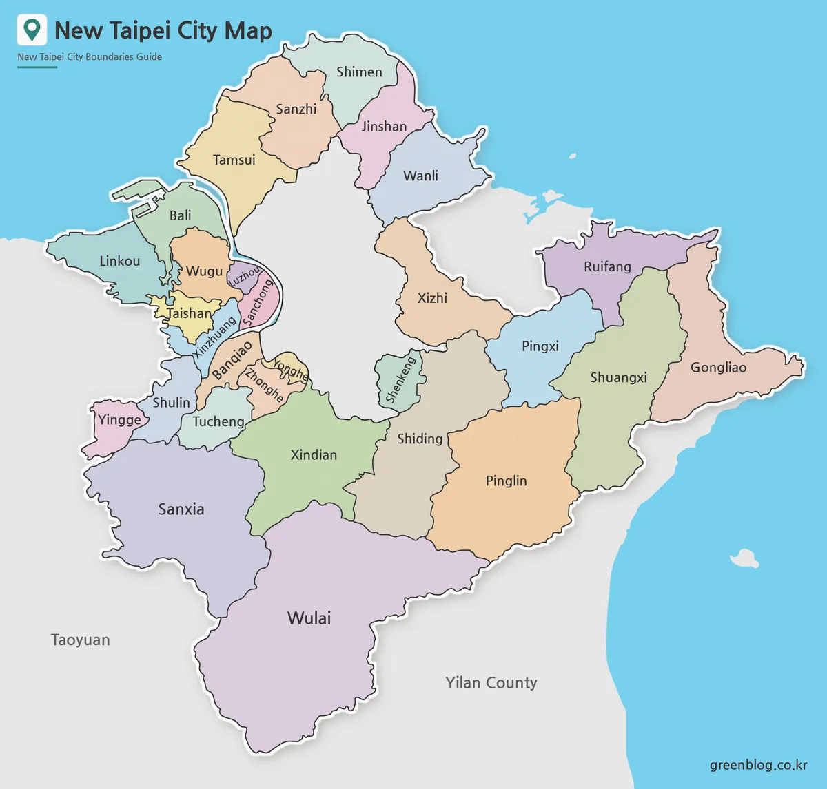
Designed with district separation in mind, the color map helps users compare New Taipei City’s compact urban areas with its wider coastal and mountain districts. Around Taipei City, districts such as Banqiao, Xinzhuang, Zhonghe, and Yonghe sit close together, so color contrast is useful for quickly reading boundaries that might otherwise feel crowded.
The outer districts need a different kind of attention. Tamsui, Ruifang, and Wulai are often discussed in travel or regional reference materials, and their locations become easier to understand when shown within the full city structure. The color map works especially well for blog thumbnails, presentation slides, regional comparison graphics, and visual introductions to the Taipei metropolitan area.
Black and White Map for Printing and Documents
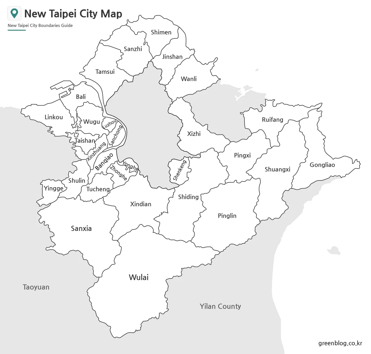
For printed materials, a cleaner layout can be more useful than a colorful one. The black and white New Taipei City map focuses on district names and boundary lines, making it suitable for reports, handouts, school assignments, and document inserts.
This version is especially helpful because New Taipei City has several areas where labels can feel visually crowded. The central districts near Taipei require careful spacing, while the larger outer districts need enough visual weight to remain part of the full city structure. The simplified design keeps the map readable in black and white printing and makes it easier to add notes after printing.
When preparing this version, line balance and label clarity were checked so that the map would remain practical for classroom and presentation use. It is a good choice when the map needs to support explanation rather than act as a decorative image.
Blank Outline Map for Editing
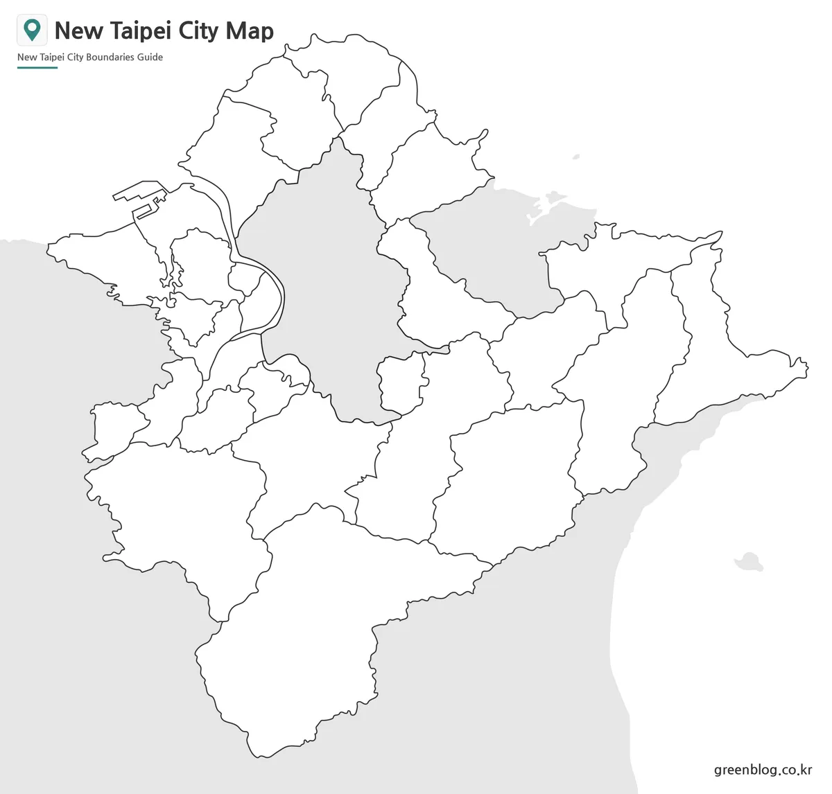
The blank outline version works as a base map for users who want to add their own information. Instead of focusing on color or labels, it keeps the district boundary structure clean so that new layers can be added more easily.
For New Taipei City, this is useful in several real situations. A travel blogger might mark Tamsui, Ruifang, or Wulai as route points. A teacher might use the map for a district comparison worksheet. A designer might add population data, transportation notes, tourism markers, or highlighted areas around Taipei City. The outline version is also suitable for infographic projects, card news images, and presentation backgrounds where custom labels or icons need to stand out.
Because New Taipei City includes urban, coastal, and mountain-side districts in the same municipality, the outline map gives users a flexible way to explain different regional patterns without starting from a crowded base image.
Practical Uses for the Printable New Taipei City Map
A Printable New Taipei City Map can be used in many different types of projects. In travel content, it helps readers understand where popular destinations are located in relation to Taipei City. Tamsui, Ruifang, and Wulai are often introduced as day-trip areas, but showing them on the wider New Taipei City map makes the travel direction much easier to follow.
For education, the map can support lessons about Taiwan’s administrative divisions, urban growth, and metropolitan structure. New Taipei City is a good example of a large municipality that includes both dense urban districts and outer natural areas. In presentations, the color version can quickly introduce the region, while the black and white version works better for printed reference sheets.
Designers and bloggers may find the outline version especially useful. It provides a clean structure for marking district groups, travel routes, local comparisons, or visual explanations of the Taipei area. Instead of using a general Taiwan map, this city-level map gives more detail where it is actually needed.
Frequently Asked Questions
Is New Taipei City the same as Taipei City?
No. New Taipei City and Taipei City are separate municipalities. They are strongly connected in daily life and transportation, but they are different administrative areas.
What is included in this Printable New Taipei City Map collection?
The collection includes a color district map, a black and white map, and a blank outline map. Each version is designed for a different use, such as visual reference, printing, or editing.
Which version is best for documents?
The black and white version is usually the best choice for reports, classroom handouts, and printed reference materials because it keeps the layout clean and easy to read.
Can I use the outline map for travel routes?
Yes. The outline version is suitable for marking routes, district highlights, tourism points, or custom labels around New Taipei City.
Printable New Taipei City Map Download
This New Taipei City map collection includes color, black and white, and outline versions for presentations, classroom reference, document use, travel planning, and graphic editing projects.
Included Versions: Color Map / Black and White Map / Outline Map
Intended Usage: Printing, educational materials, regional comparison, blog graphics, travel route marking, and infographic editing
Related Maps
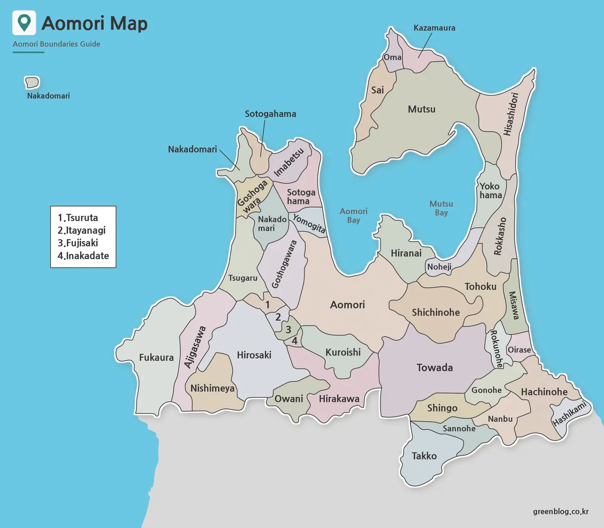
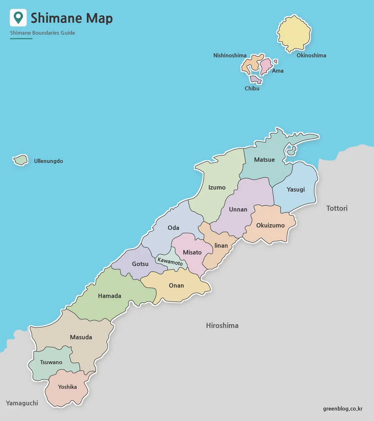
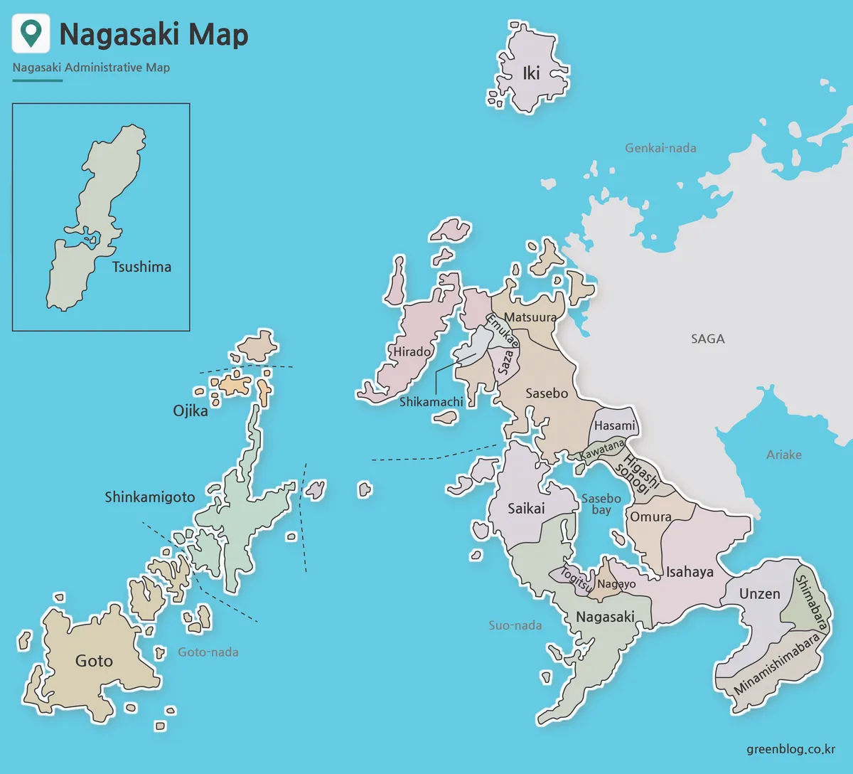
- 4 Japan Maps Download Collection for Print and Design
- South Korea Maps Download: 6-Map Collection
- Philippines Maps Collection Download (3 Printable Maps)
- China Maps Download Collection – 4 Regional Map Types
Additional Resources
- OpenStreetMap – Useful for checking roads, place names, and surrounding location relationships around New Taipei City and Taipei City.