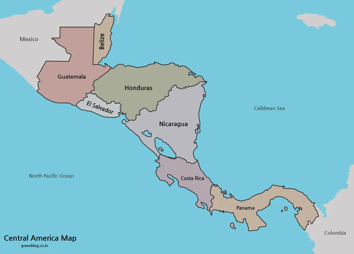
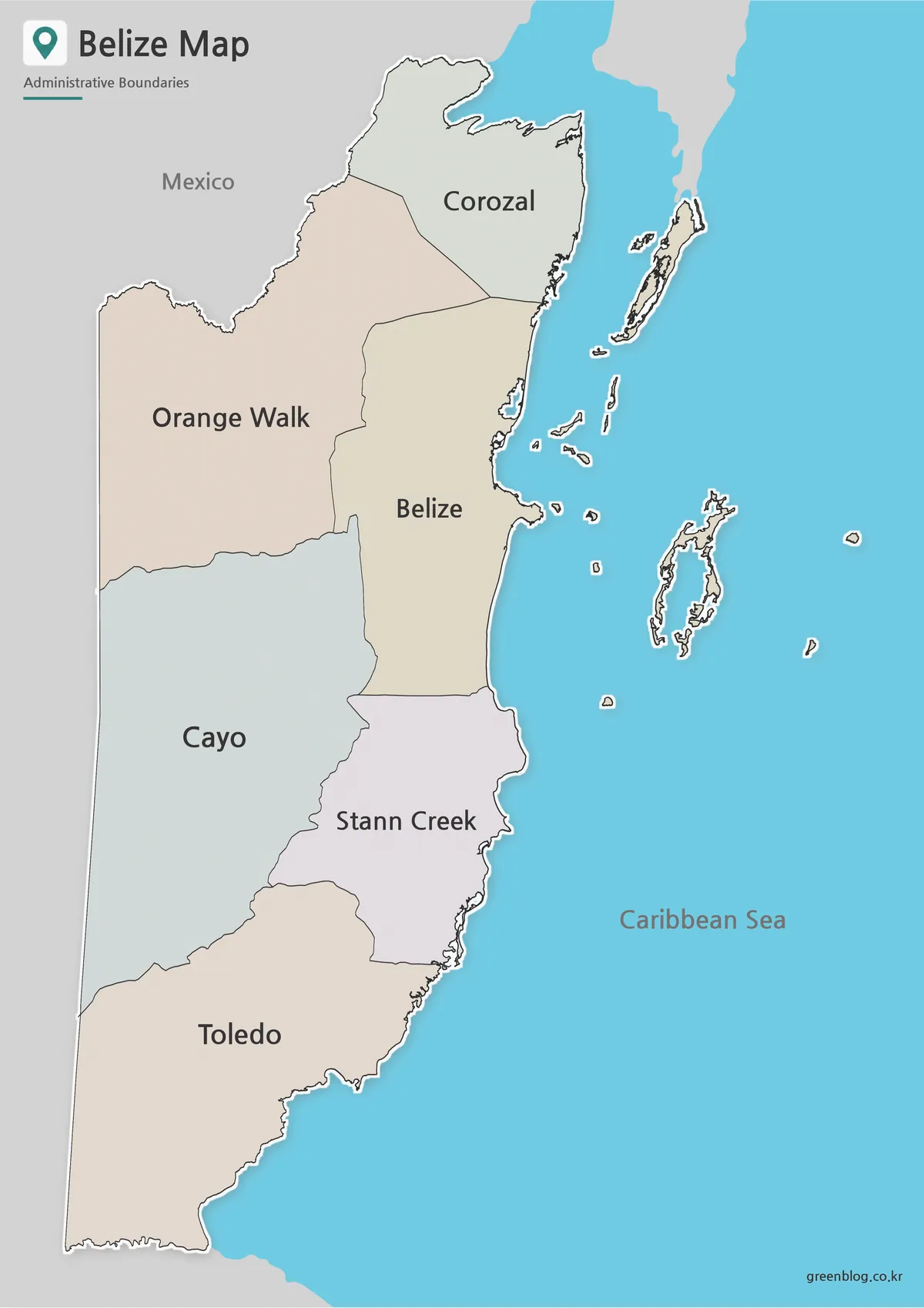
Free Ukraine Map Collection for Printing and Editing
This Ukraine map collection was created for users looking for a clear visual reference of one of Eastern Europe’s largest […]
Free Ukraine Map Collection for Printing and Editing Read More »
This Ukraine map collection was created for users looking for a clear visual reference of one of Eastern Europe’s largest […]
Free Ukraine Map Collection for Printing and Editing Read More »
The Sweden map is particularly useful for understanding the country’s long north-to-south geography. Sweden is one of the most recognizable
Sweden Map Collection – Printable Color, Black and White, and Outline Maps Read More »
New York City is the largest city in the United States and one of the most recognizable urban areas in
Printable New York City Map Collection – Color, Black and White & Outline Maps Read More »
Finland is one of the largest countries in Northern Europe, stretching from the Baltic Sea in the south to the
Finland Map Collection – Printable Color, Black and White & Outline Maps Read More »
This Washington State map collection was created for printable use, classroom reference, infographic projects, and visual presentation work. The files
Washington State Map Download – Color, Blank, and Printable Map Pack Read More »
Finding a clean and high-resolution Belgium map online is not always easy. Many available images are either too small for
Belgium Map Download – High Resolution Printable and Editable Versions Read More »
This printable London map collection was created for users who need a cleaner and easier way to view the city’s
Printable London Map Set – Color, Outline, and Black & White Versions Read More »
This Colombia map collection was created for printing, presentation slides, classroom reference, and graphic editing work. The Colombia map files
Printable Colombia Map Set – Regional, Blank, and Black & White Versions Read More »
This Netherlands map collection was created for people looking for a clean and easy-to-read Netherlands map rather than a highly
Netherlands Map in A3 Size – Color, Labeled, and Blank Outline Versions Read More »