
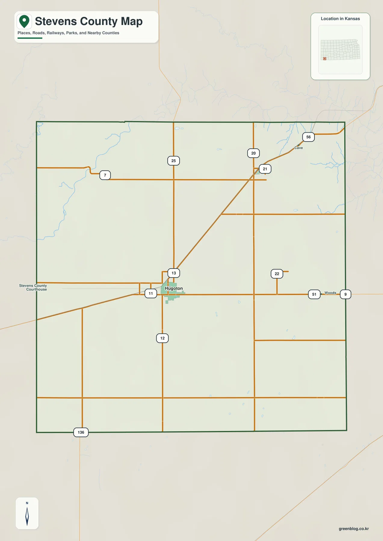
Stevens County Kansas Map — Hugoton, Moscow, the Cimarron River, and High Plains Gas Country
Stevens County occupies the far southwestern High Plains of Kansas, with Hugoton serving as the clear urban and administrative center
Stevens County occupies the far southwestern High Plains of Kansas, with Hugoton serving as the clear urban and administrative center
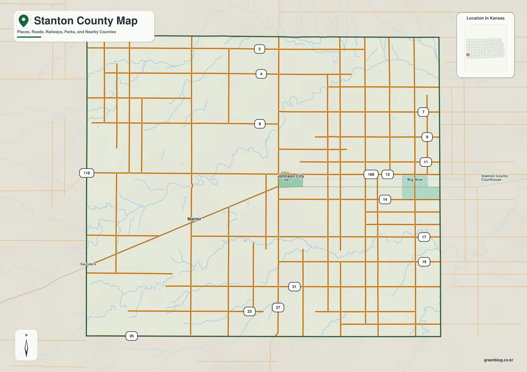
Stanton County occupies the far southwestern High Plains of Kansas, close to the Colorado state line. Johnson City is the
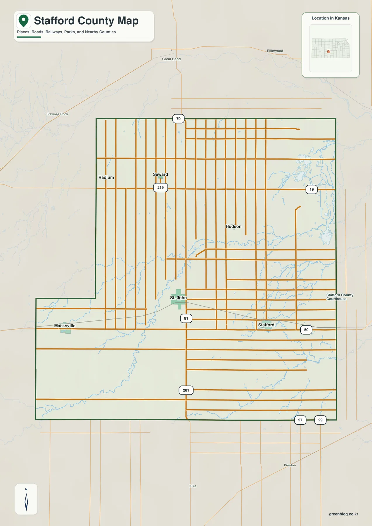
Stafford County in south-central Kansas combines small farming communities with one of the state’s most distinctive wetland landscapes. St. John
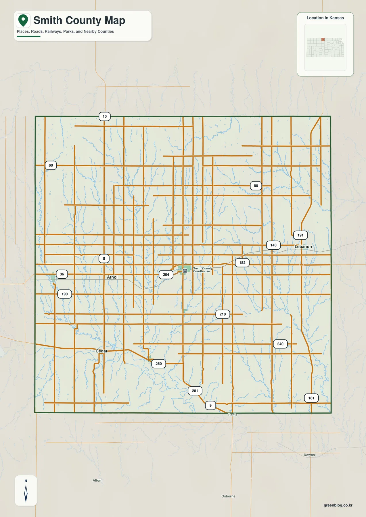
Smith County lies along the Nebraska border in north-central Kansas, with Smith Center serving as the main administrative and road
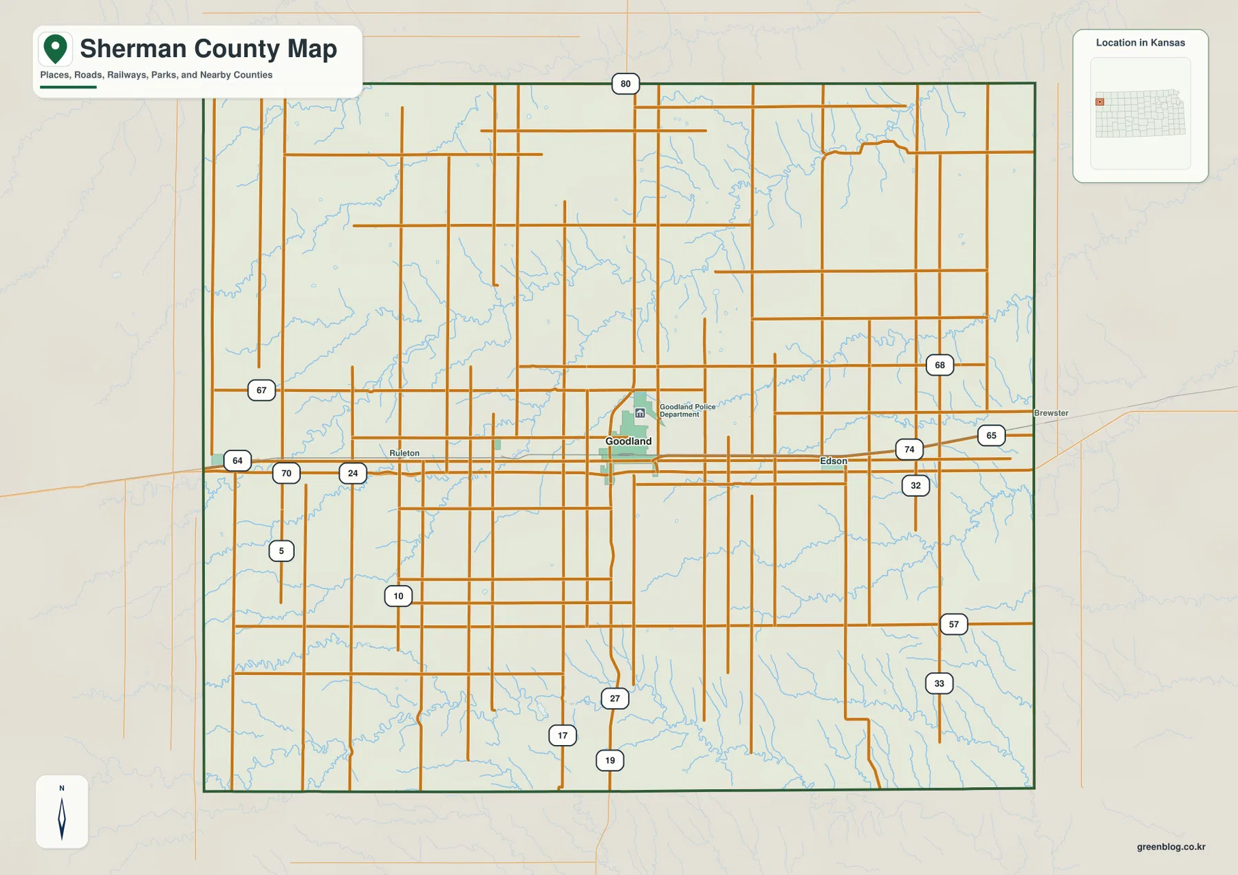
Sherman County lies along the far western side of Kansas, where Goodland anchors a broad High Plains landscape and Kanorado
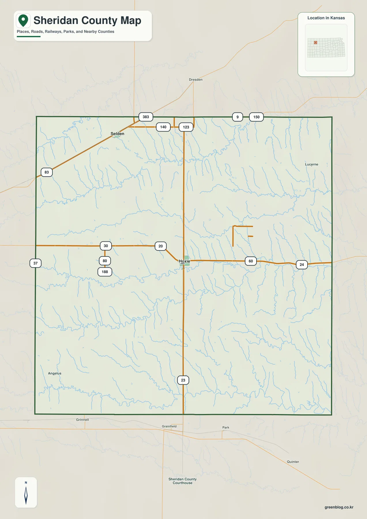
Sheridan County lies in northwestern Kansas, where Hoxie serves as the county seat and Selden provides a second small settlement
Sheridan County Kansas Map — Hoxie, Selden, Solomon Fork Valleys, and High Plains Relief Read More »
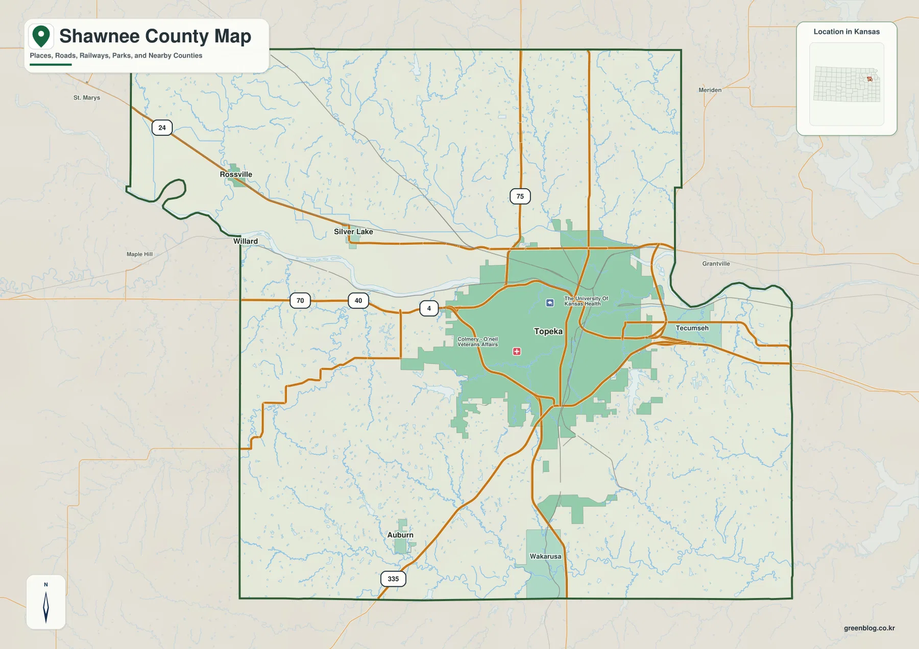
Shawnee County in northeastern Kansas combines a large state-capital city with broad river lowlands and hillier rural terrain. Topeka dominates
Shawnee County Map — Topeka, Kansas River Lowlands, and Wakarusa Hills Read More »
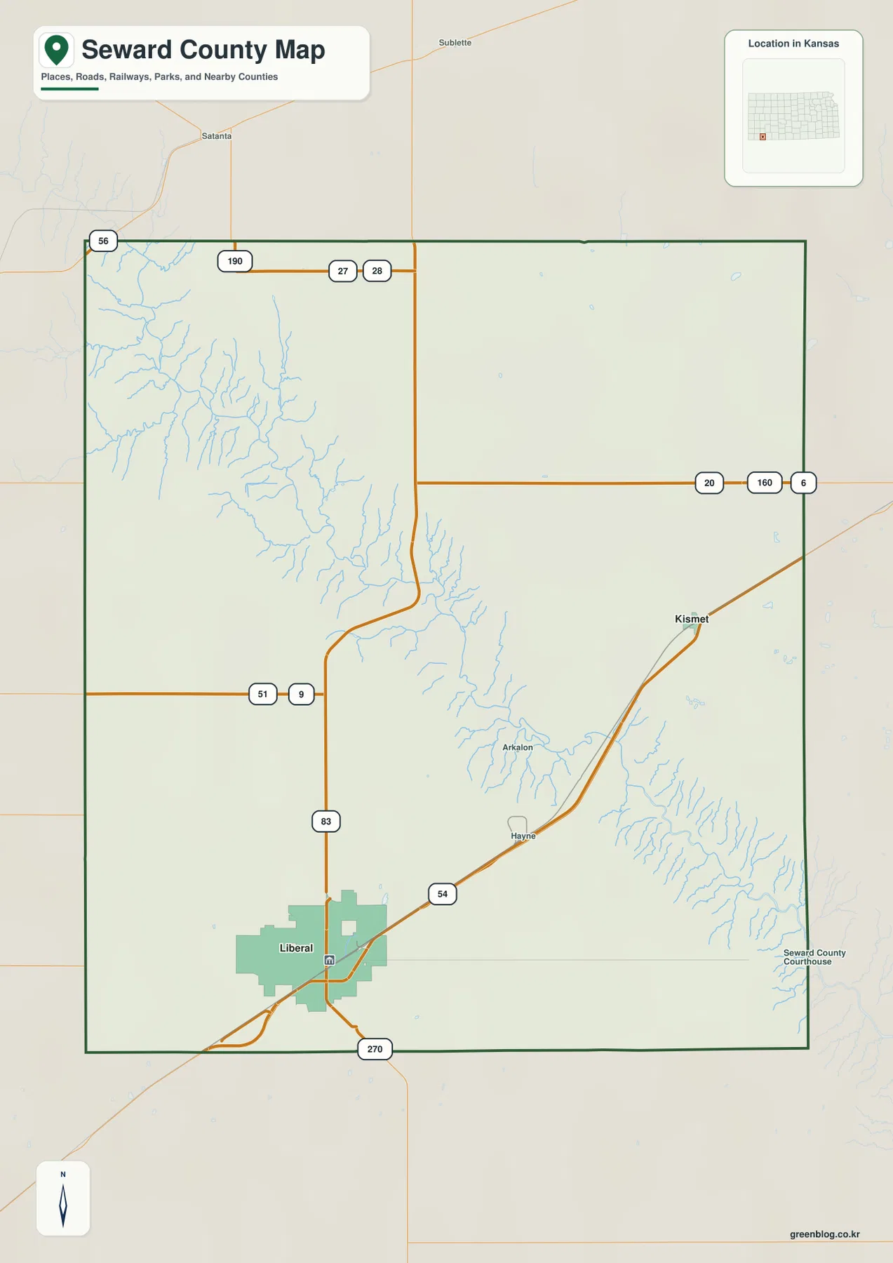
Seward County sits in far southwestern Kansas, where Liberal forms the clear urban center and the Cimarron River cuts a
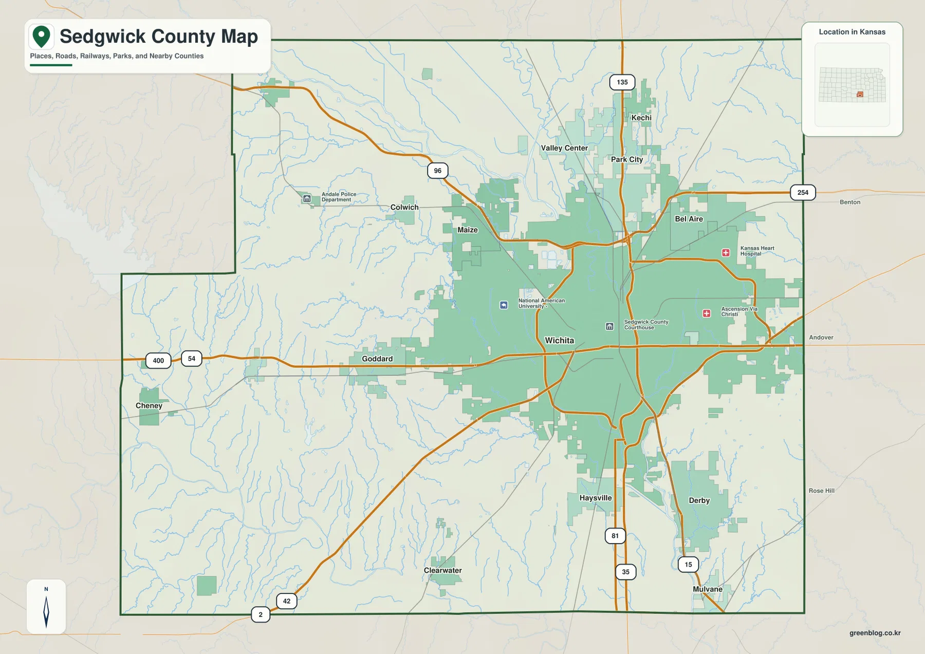
Sedgwick County in south-central Kansas is dominated by Wichita, but the county also includes Derby, Haysville, Bel Aire, Valley Center,