
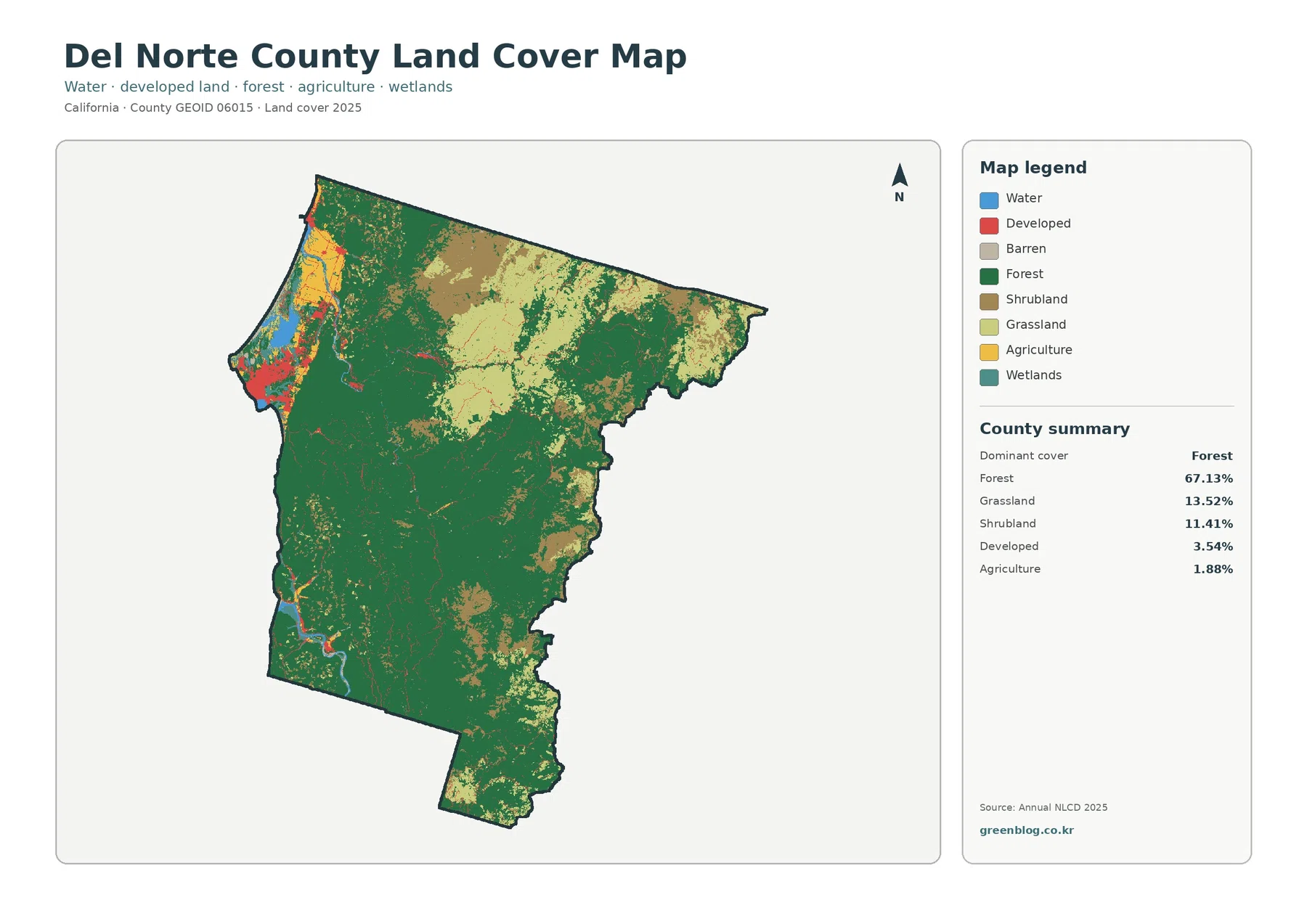
Del Norte County California Land Cover Map — 67.13% Forest and a Compact Coastal Footprint
The Del Norte County California Land Cover Map is dominated by forest rather than urban or agricultural cover. In the […]
The Del Norte County California Land Cover Map is dominated by forest rather than urban or agricultural cover. In the […]
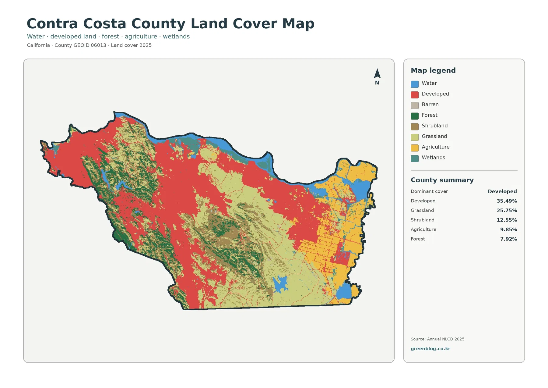
The Contra Costa County California Land Cover Map captures one of the sharpest land-cover contrasts in the Bay Area. Dense
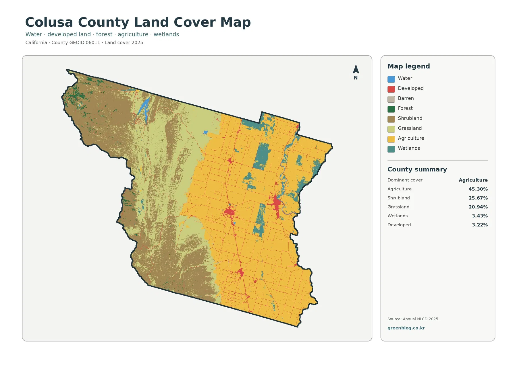
The Colusa County California Land Cover Map set shows a county divided between an intensively cultivated Sacramento Valley floor and
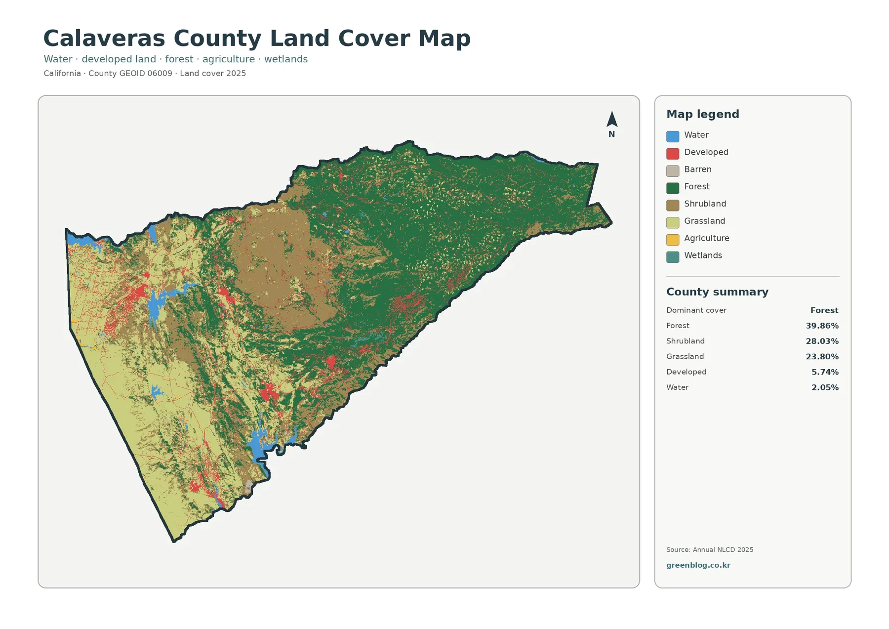
The Calaveras County California Land Cover Map set captures a strong west-to-east contrast. Open shrub and grass cover occupies much
Calaveras County California Land Cover Map — Forested East and Open Western Foothills Read More »
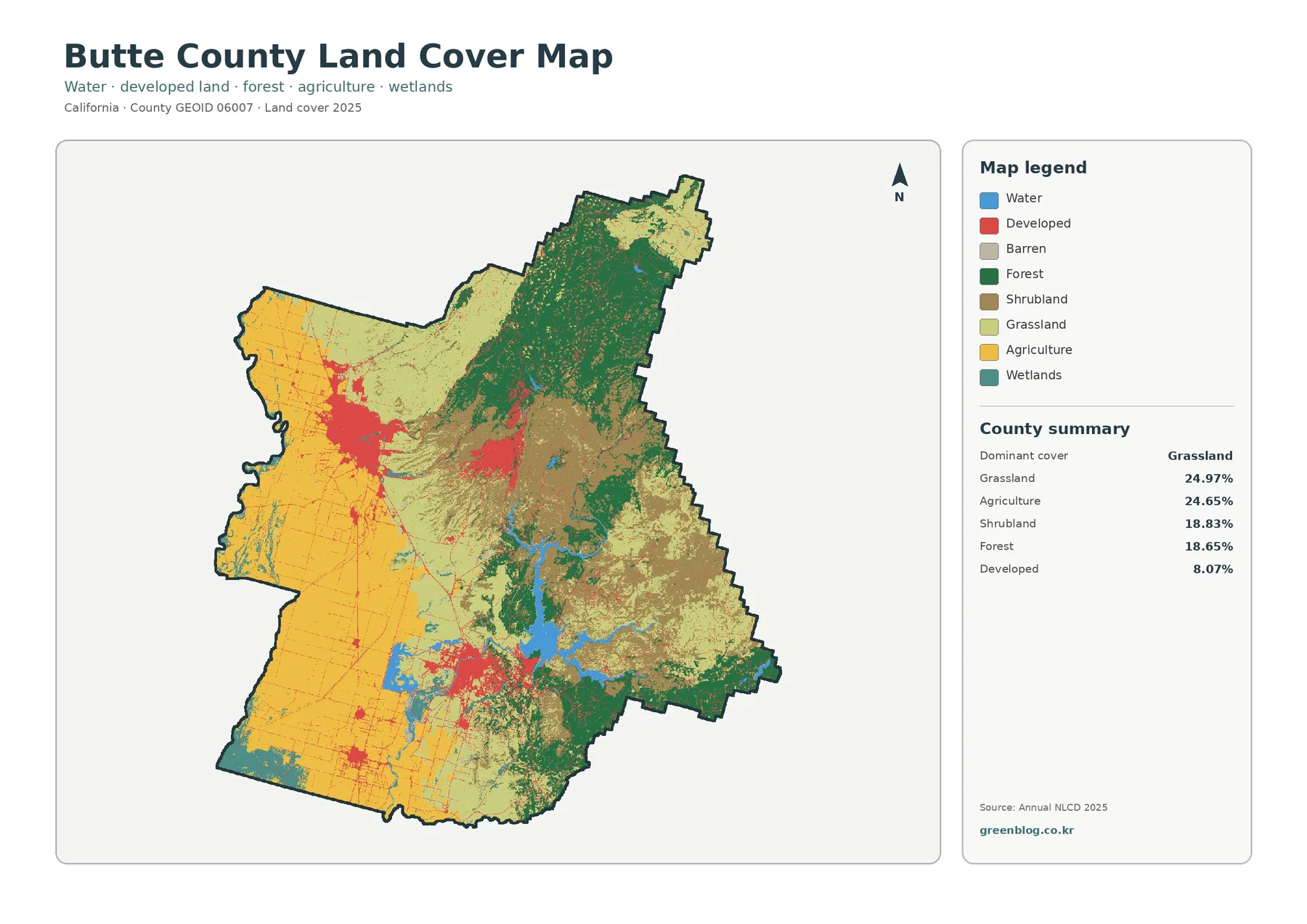
The Butte County California Land Cover Map set captures a strong transition from intensively farmed Sacramento Valley ground in the
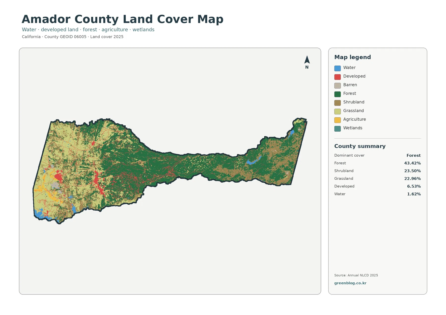
Amador County’s 2025 land-cover map shows a clear shift across its long east-west shape. Forest is the largest class at
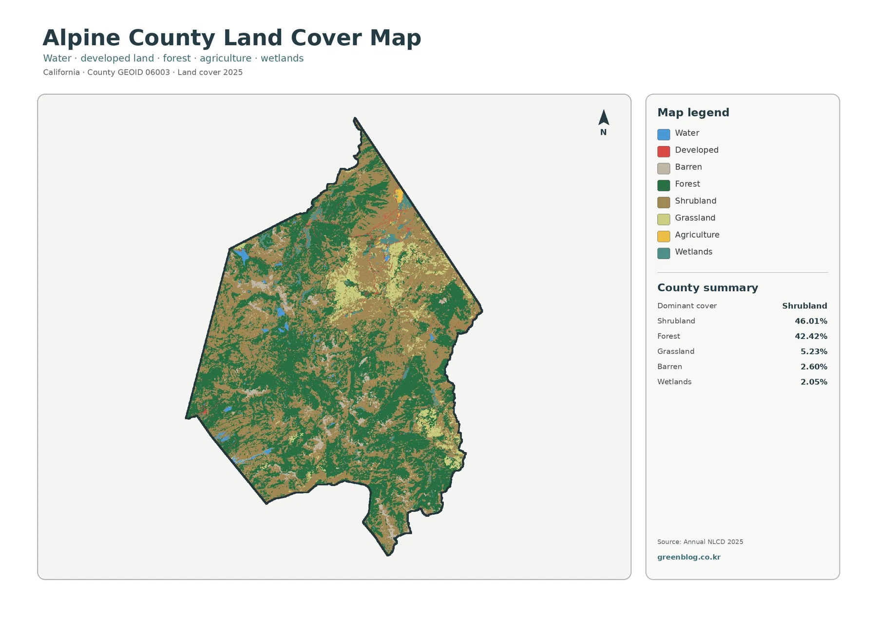
Alpine County’s 2025 land-cover map is dominated by two natural classes rather than by a large urban or agricultural footprint.
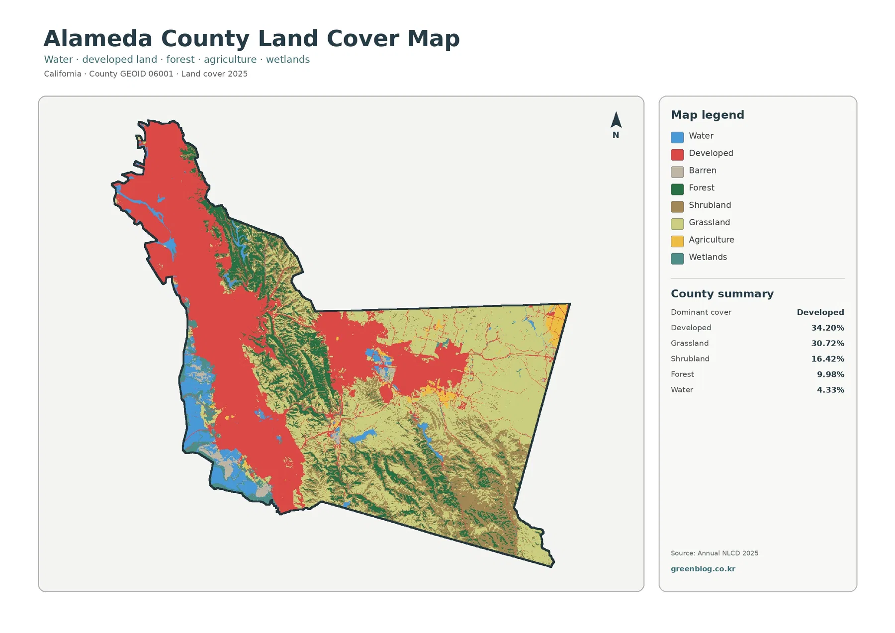
Alameda County’s 2025 land-cover pattern is defined by a sharp contrast between a heavily developed west and much more open
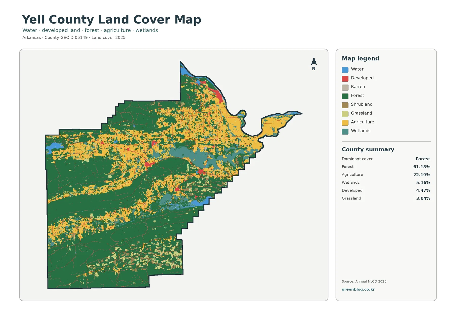
Yell County’s 2025 land-cover pattern is defined by a strong forest majority, but the county is not uniformly wooded. Forest