
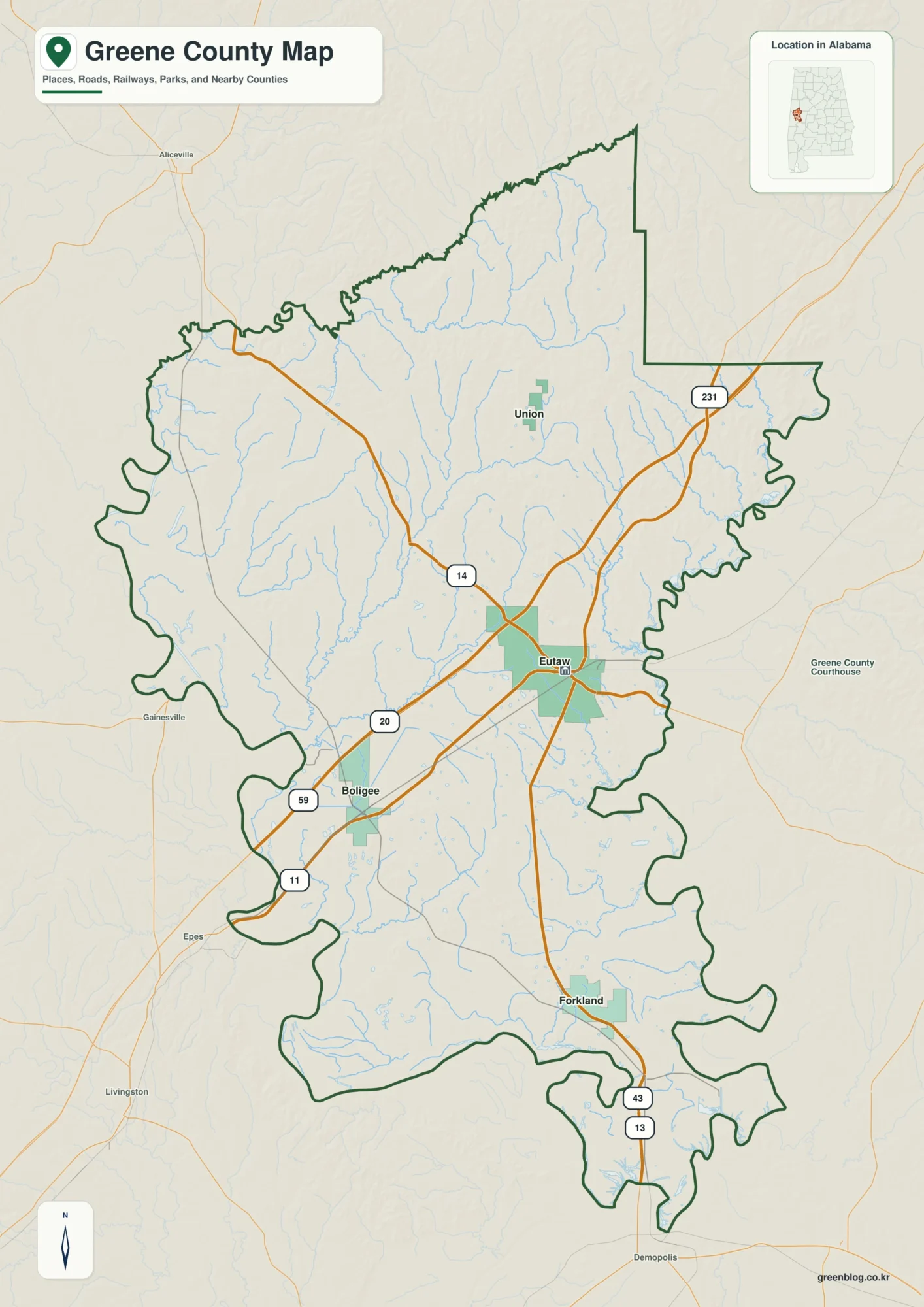
Greene County Alabama Map — Rivers, Ridges, and Eutaw
Greene County in west-central Alabama is organized around Eutaw, but its geography is shaped just as strongly by water and
Greene County Alabama Map — Rivers, Ridges, and Eutaw Read More »
Greene County in west-central Alabama is organized around Eutaw, but its geography is shaped just as strongly by water and
Greene County Alabama Map — Rivers, Ridges, and Eutaw Read More »
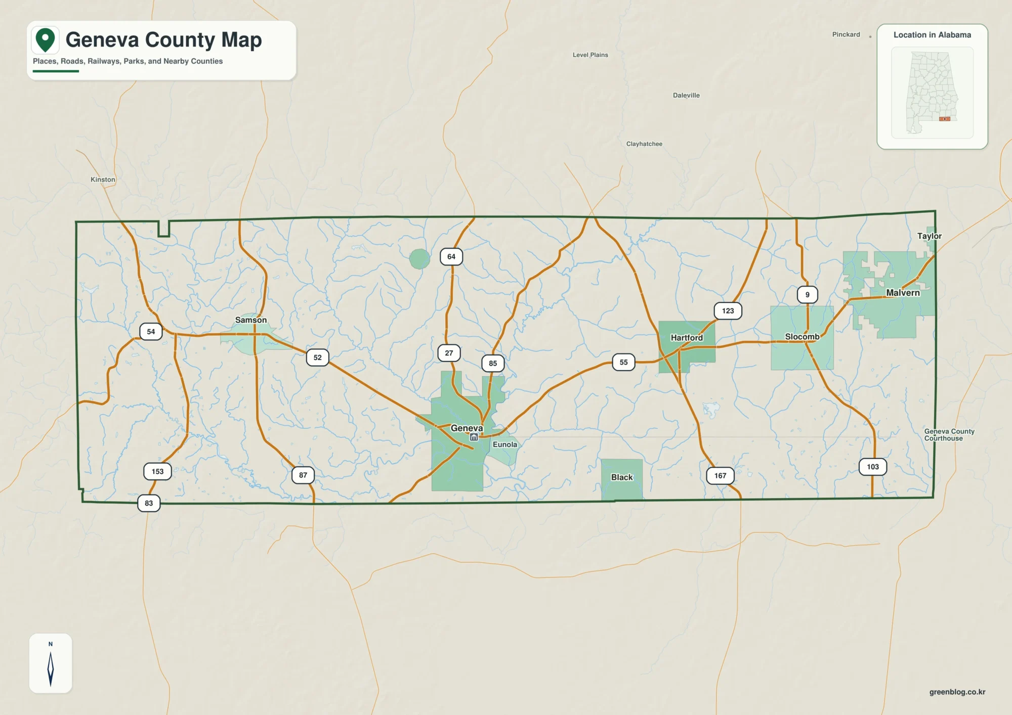
The Geneva County Map places a long stretch of southeastern Alabama between the Florida line and the small towns of
Geneva County Map: From the Pea River Confluence to the Florida Line Read More »
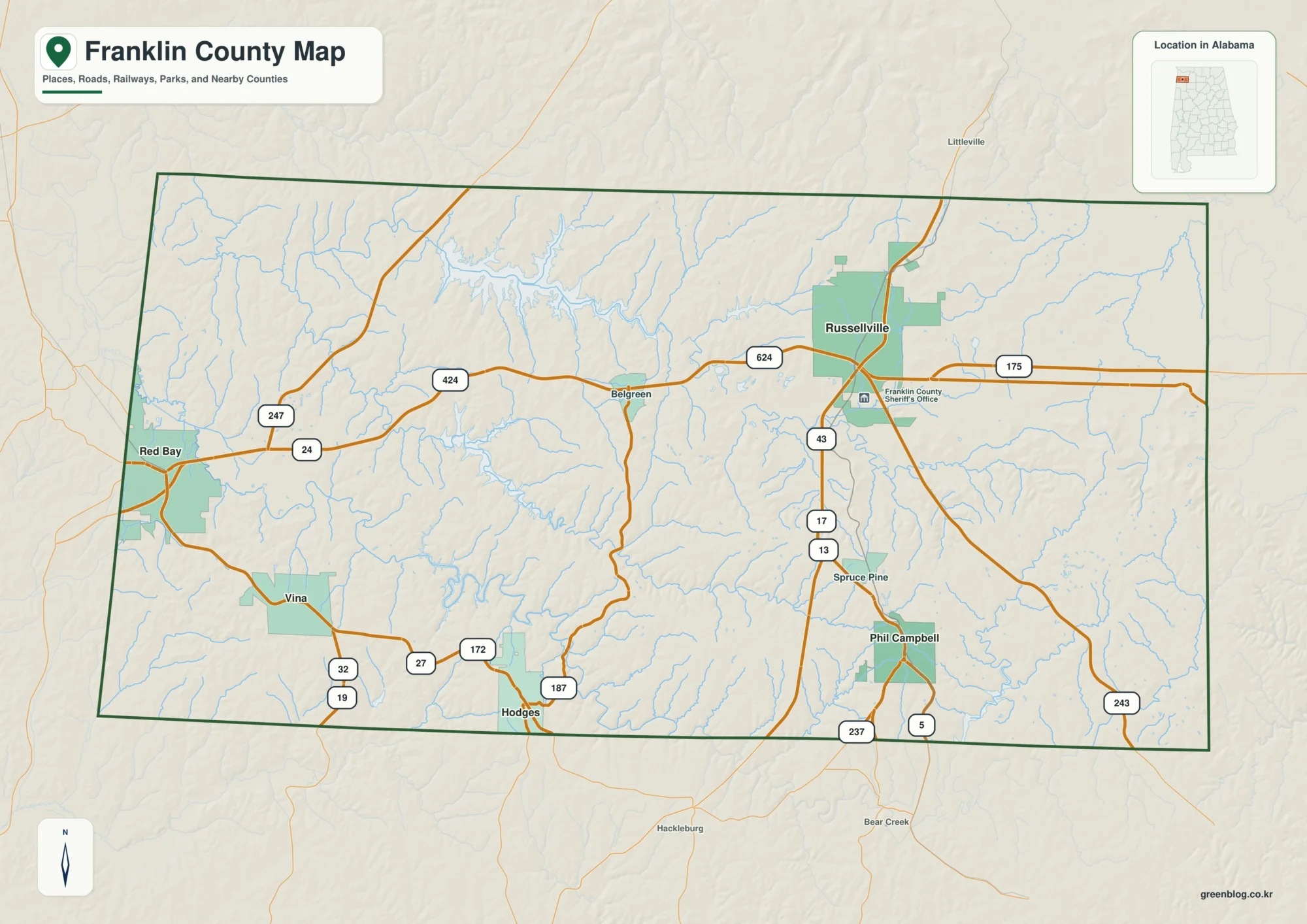
A Franklin County Alabama Map is most useful when it shows more than the county outline. Franklin County lies in
Franklin County Alabama Map | Russellville, Bear Creek Lakes & Roads Read More »
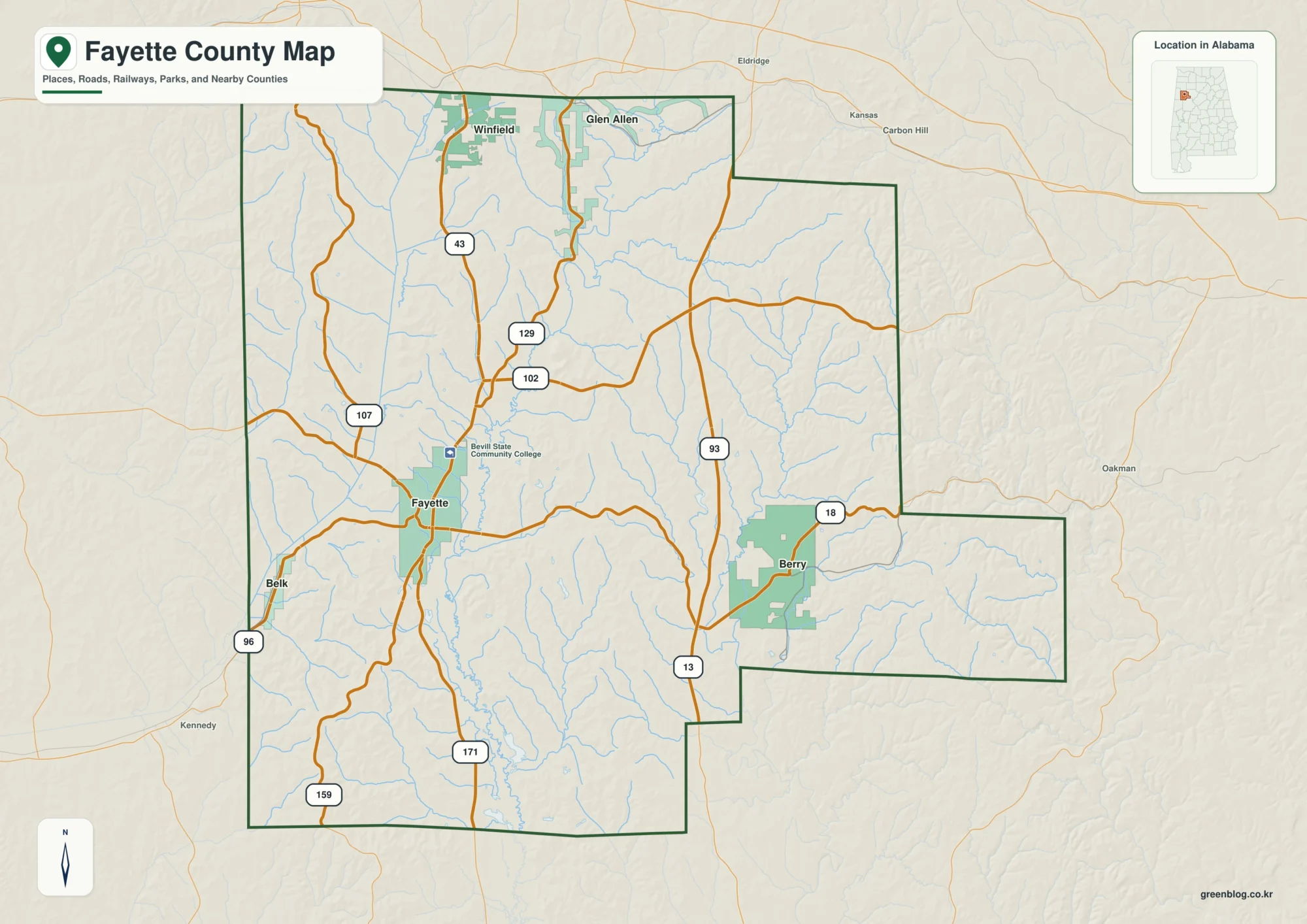
If you are looking for a map of Fayette County, Alabama, the easiest place to begin is the city of
Sipsey River, Local Roads, and Rolling Hills | Fayette County Alabama Map Read More »
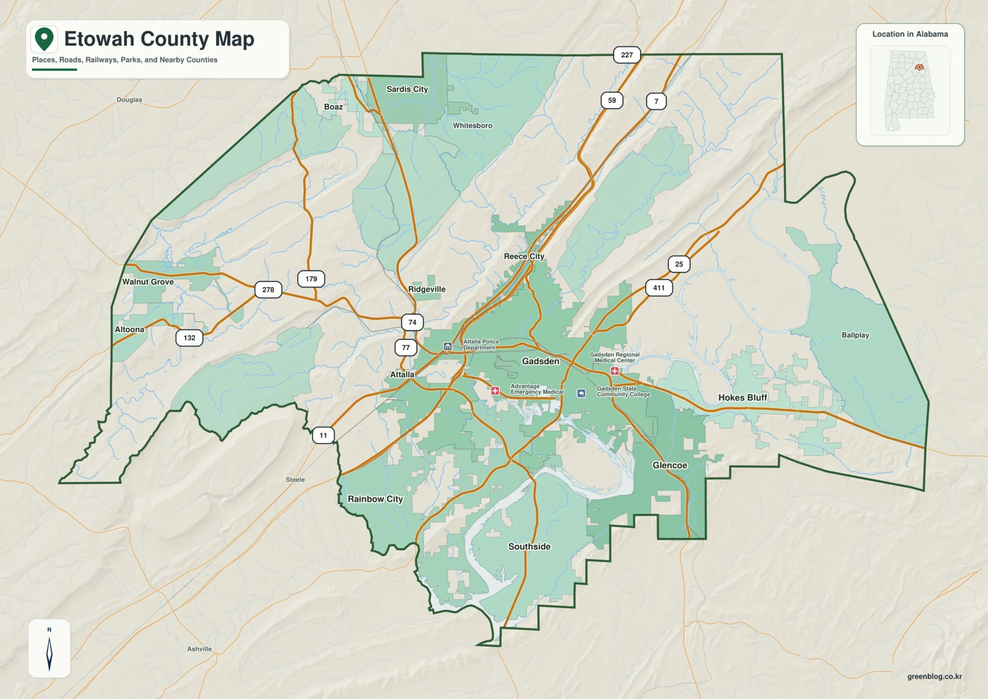
This Etowah County Map brings together four views of a compact but geographically varied part of northeastern Alabama. You can
Etowah County Map for Gadsden, the Coosa River and Mountain Ridges Read More »
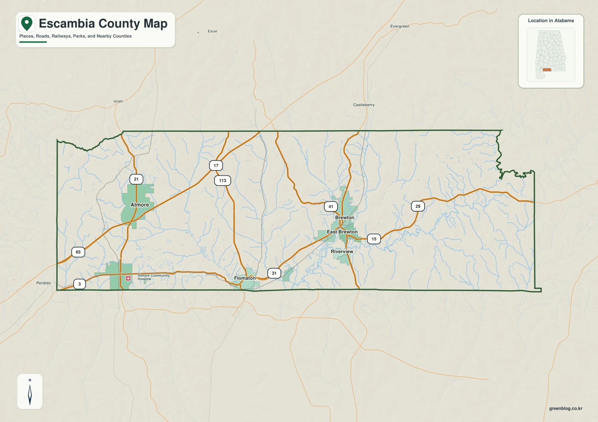
Escambia County Alabama Map resources on this page are designed for readers who want both a quick geographic overview and
Escambia County Alabama Map: Atmore, Brewton, Rivers and the Florida Border Read More »
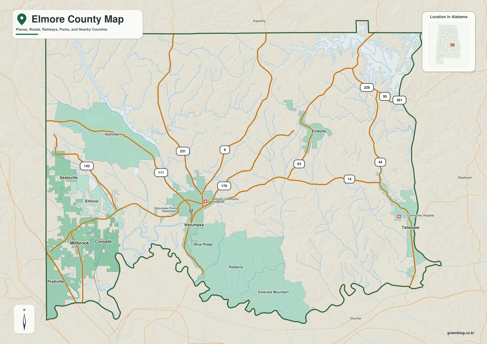
The Elmore County Alabama Map set is centered on Wetumpka but reaches into several very different parts of east-central Alabama.
Rivers, Lakes, and Cities on the Elmore County Alabama Map Read More »
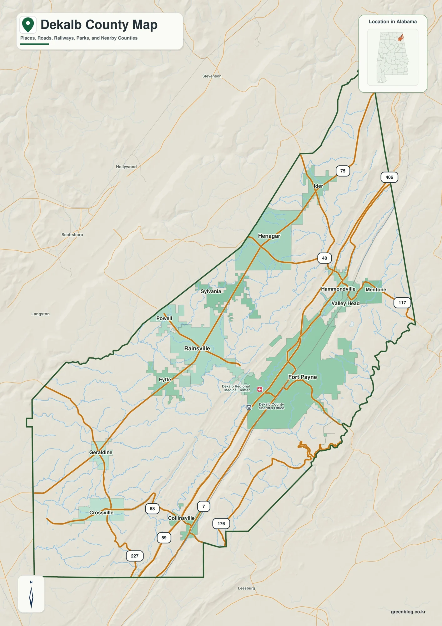
The DeKalb County Alabama Map set explains a county where mountains and valleys have a direct effect on roads, towns,
Fort Payne and Lookout Mountain on the DeKalb County Alabama Map Read More »
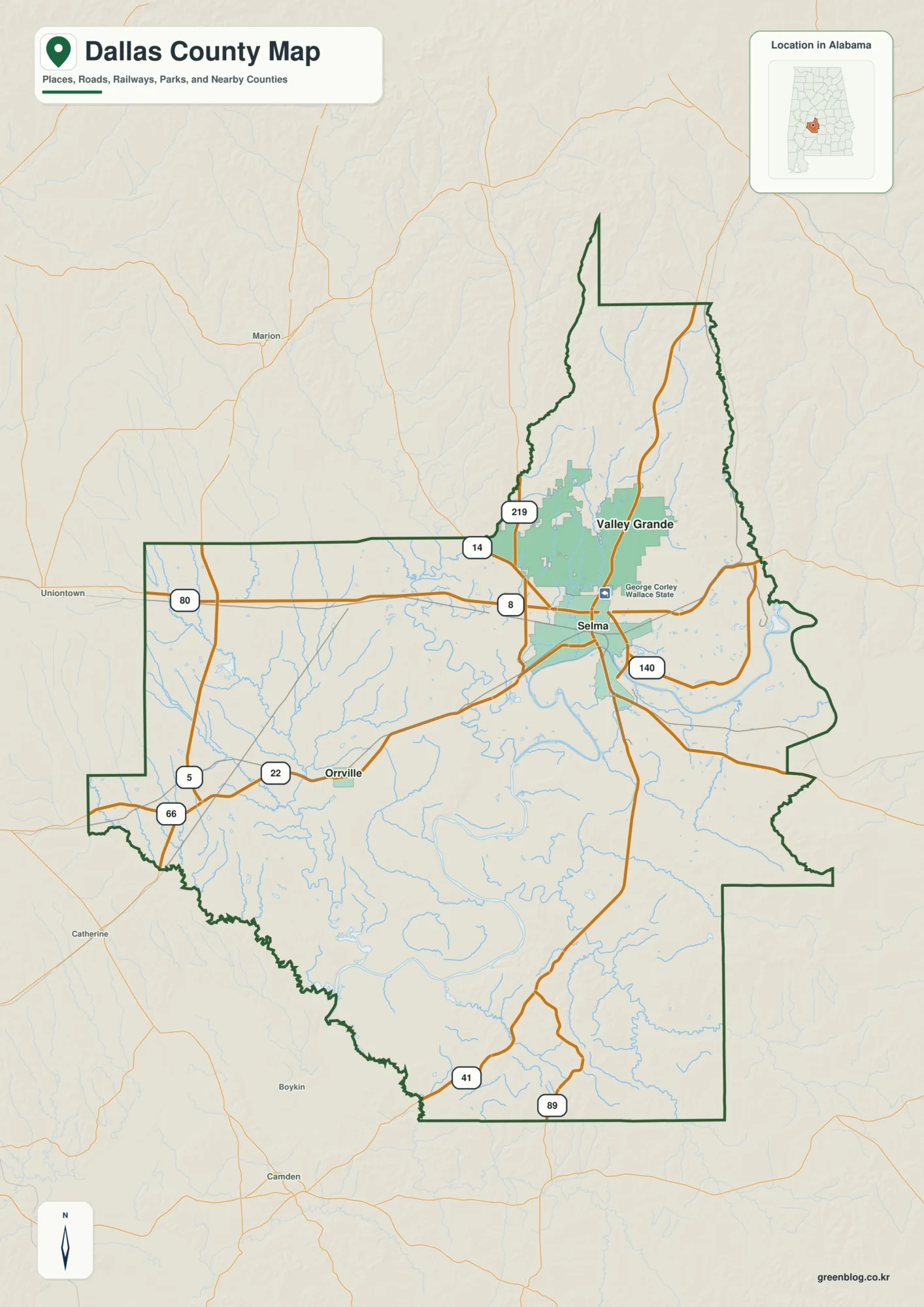
The Dallas County Alabama Map set gives you four practical views of a Black Belt county shaped by Selma, the
Explore the Dallas County Alabama Map: Selma, Rivers, and Elevation Read More »