
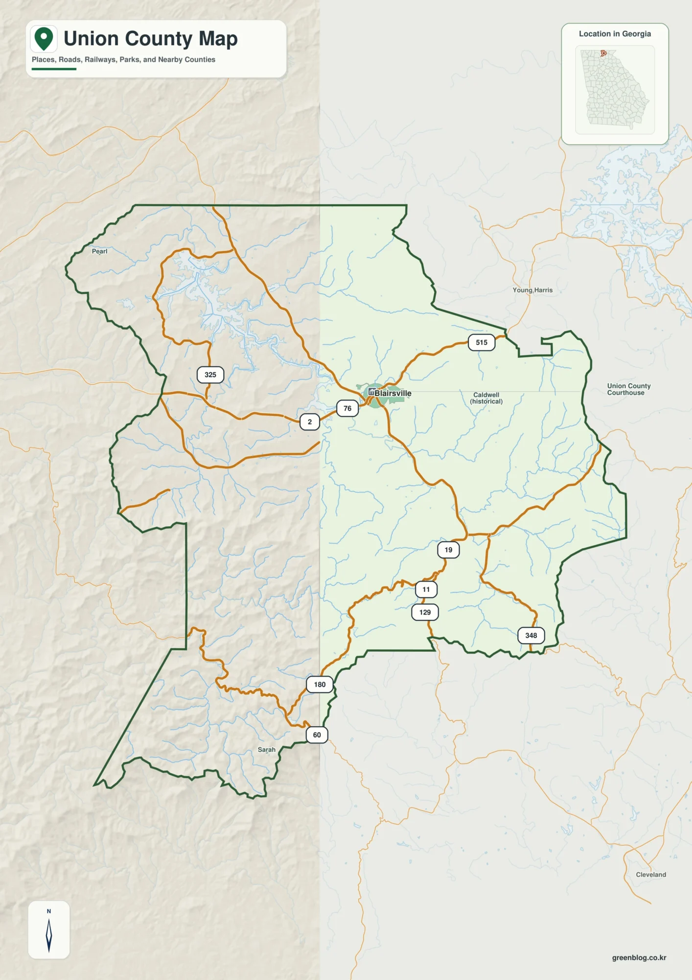
Blairsville and Lake Nottely | Union County Georgia Map
Blairsville is the easiest place to orient yourself on a map of Union County, but the county is defined just
Blairsville and Lake Nottely | Union County Georgia Map Read More »
Blairsville is the easiest place to orient yourself on a map of Union County, but the county is defined just
Blairsville and Lake Nottely | Union County Georgia Map Read More »
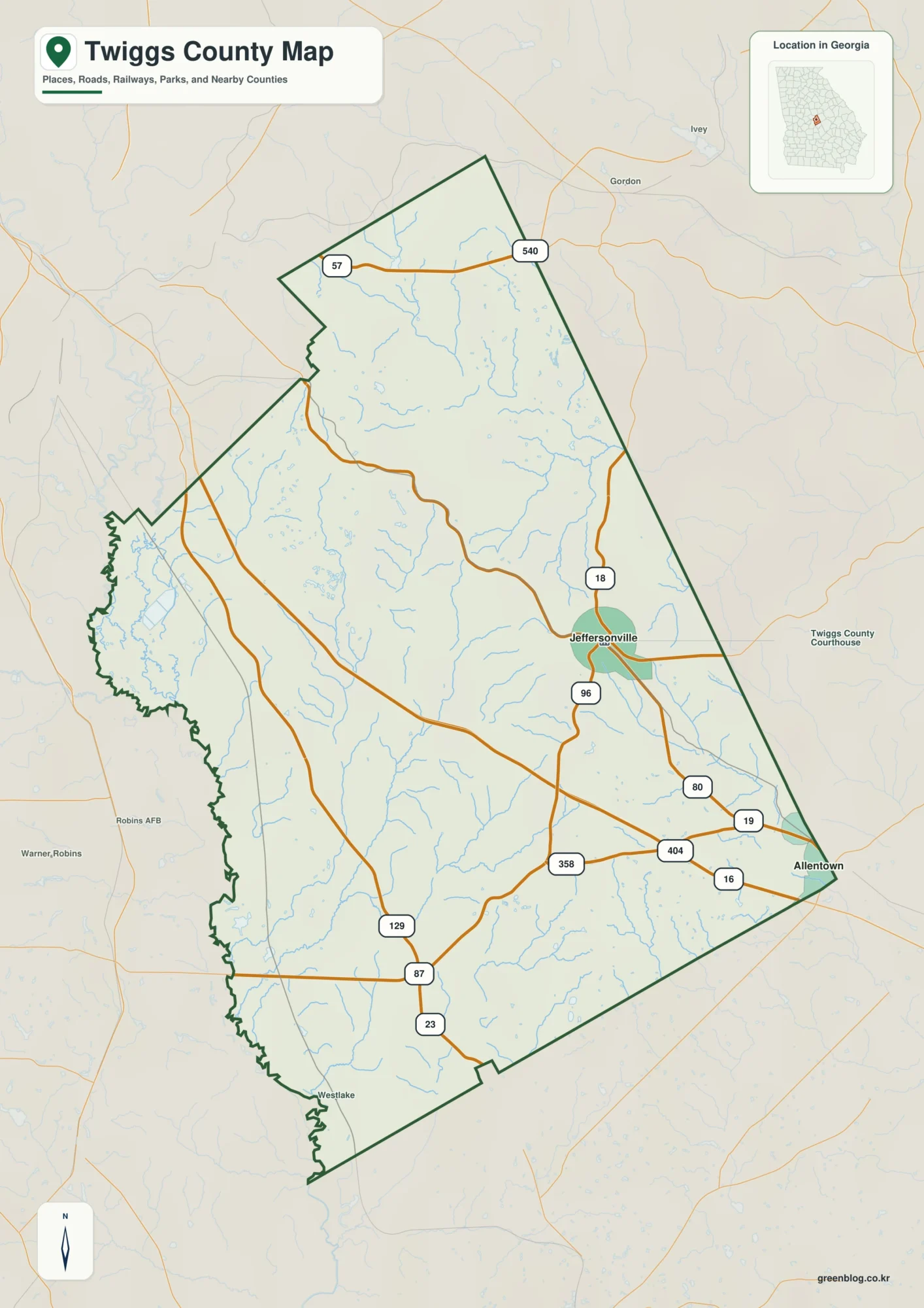
Twiggs County sits in central Georgia where a low western river edge, a more rolling interior, and a small set
Jeffersonville to the Ocmulgee River: A Twiggs County Map of Roads, Creeks, and Relief Read More »
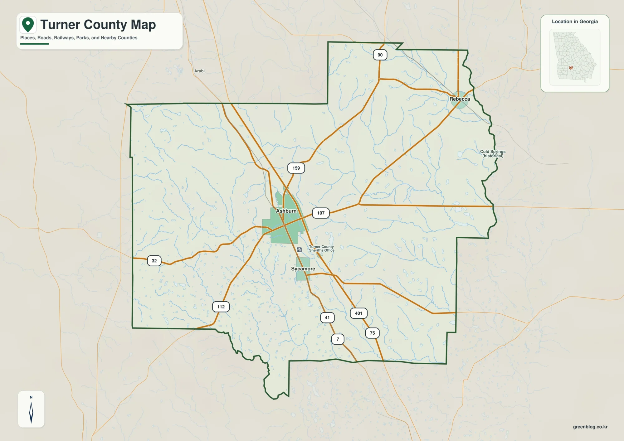
Turner County sits in south-central Georgia, with Ashburn serving as the county seat and the clearest reference point for roads,
Turner County Georgia Map: Roads, Rivers, and Elevation Around Ashburn Read More »
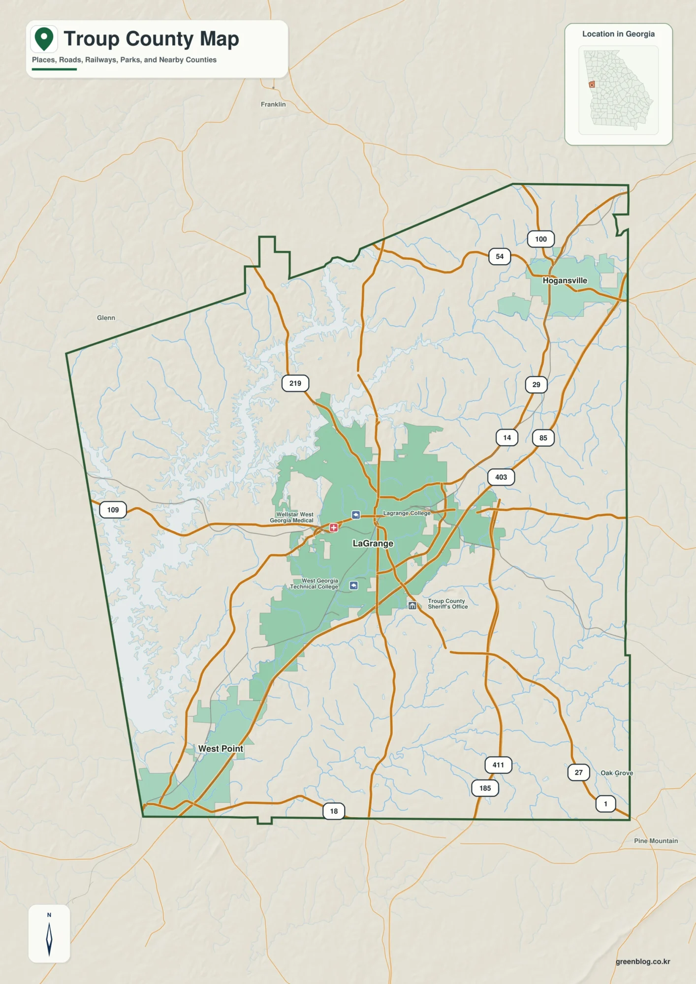
Troup County sits on Georgia’s western side, with LaGrange near the center, West Point at the southwest edge by the
Troup County Map for LaGrange, West Point Lake, and the Eastern Ridges Read More »
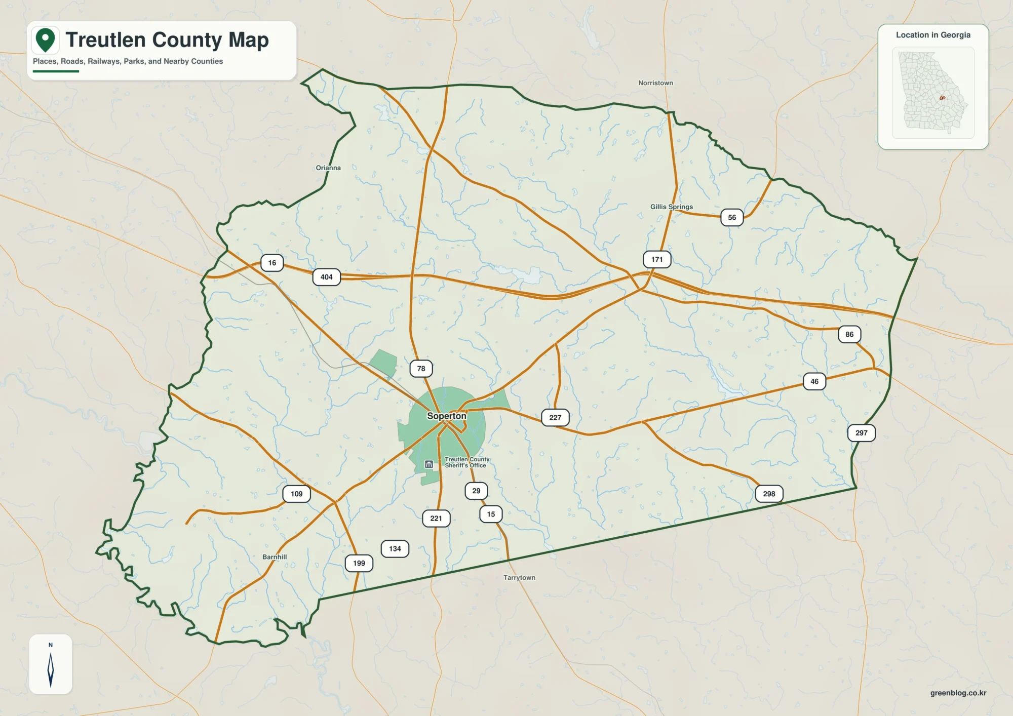
Treutlen County is a small southeast Georgia county where one place, Soperton, provides a useful starting point for reading the
Treutlen County Map – Soperton, Little Ohoopee River, and Rolling Uplands Read More »
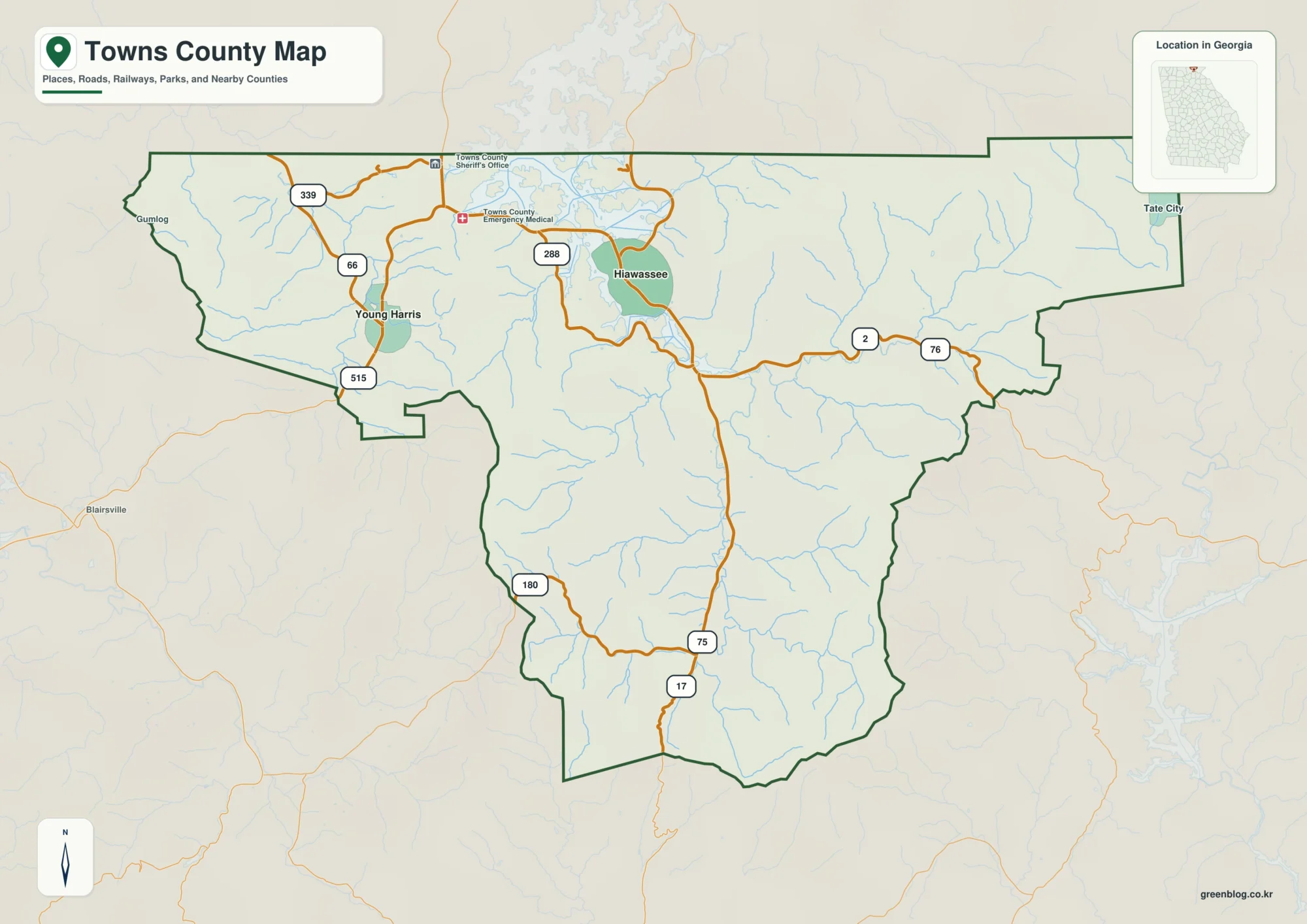
Towns County sits at the northern edge of Georgia, where Hiawassee, Young Harris, Lake Chatuge, winding mountain roads, and steep
Hiawassee and Lake Chatuge on a Towns County Map – Roads, Waterways, and Mountain Relief Read More »
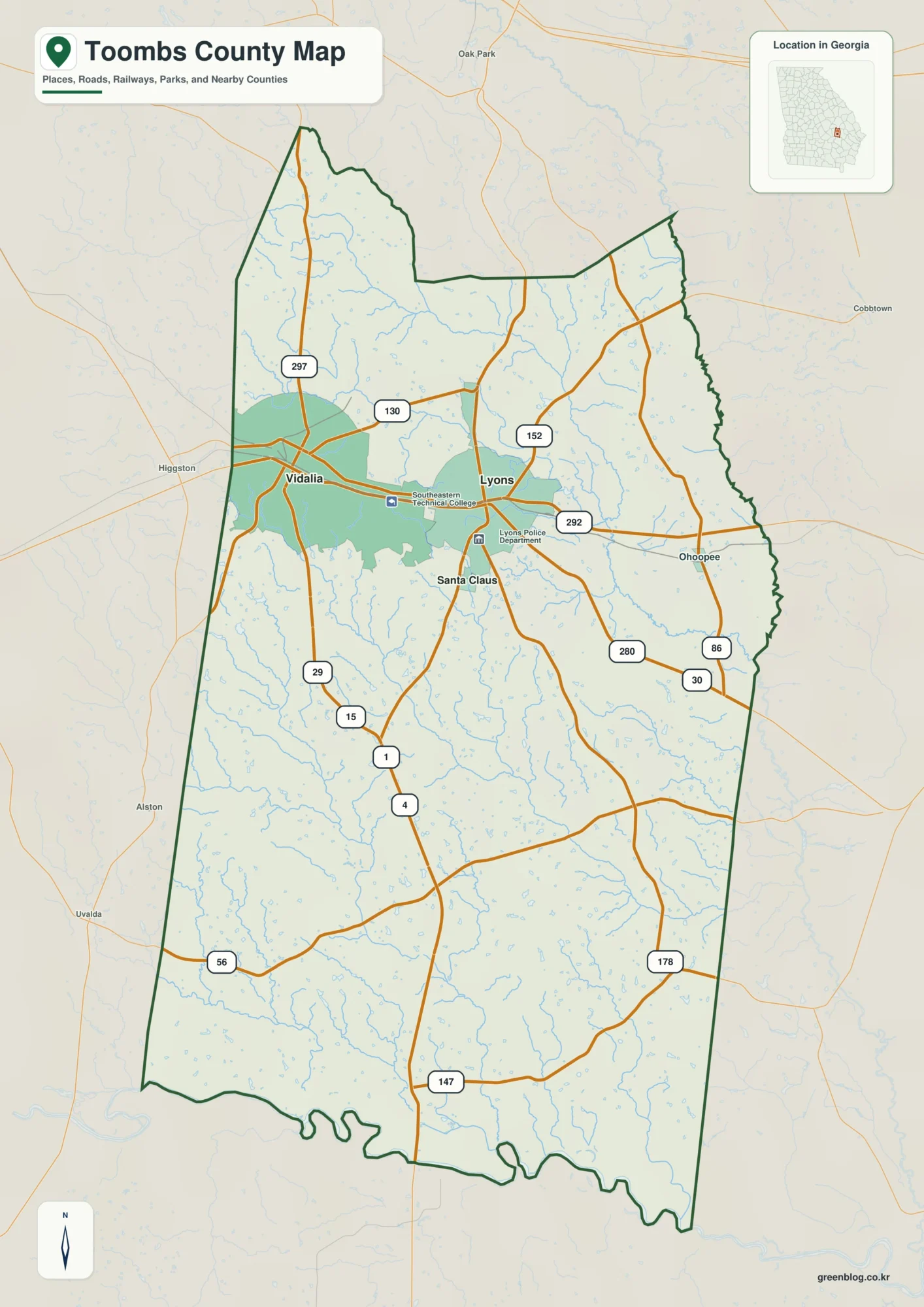
Toombs County sits in southeast Georgia, with Lyons serving as the county seat and Vidalia forming the larger urban and
Toombs County Map of Southeast Georgia – Altamaha River, Lyons, and Vidalia Read More »
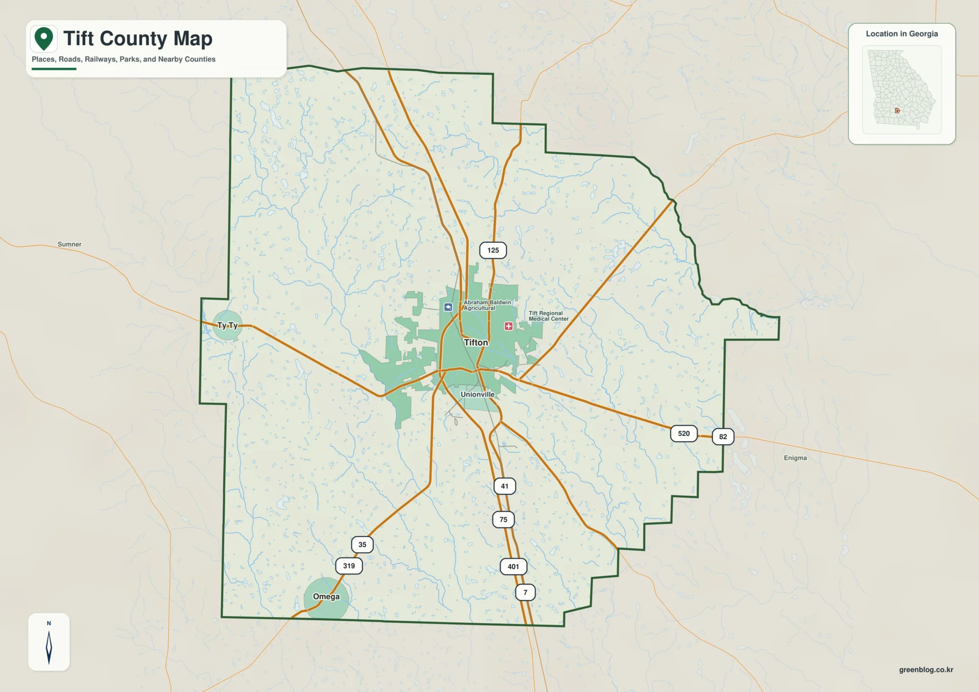
Tift County sits in south-central Georgia, where Tifton forms the clear center of the county’s road and settlement pattern. The
Tift County Map: Tifton Roads, Little River Waterways, and 69–125 m Relief Read More »
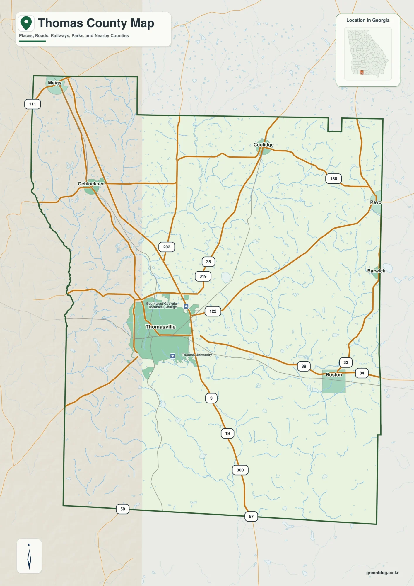
Thomas County sits in southwest Georgia along the Florida line, with Thomasville serving as the county seat and the main
Thomasville Roads, River Valleys & Elevation — Thomas County Georgia Map Read More »