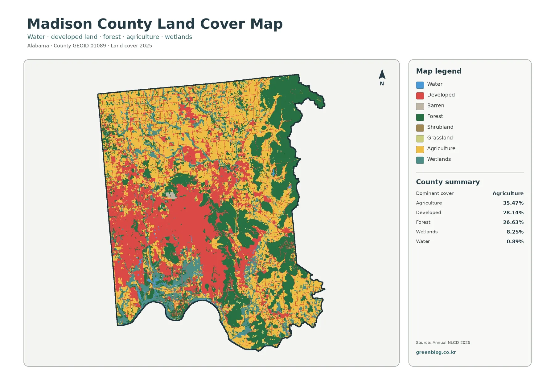
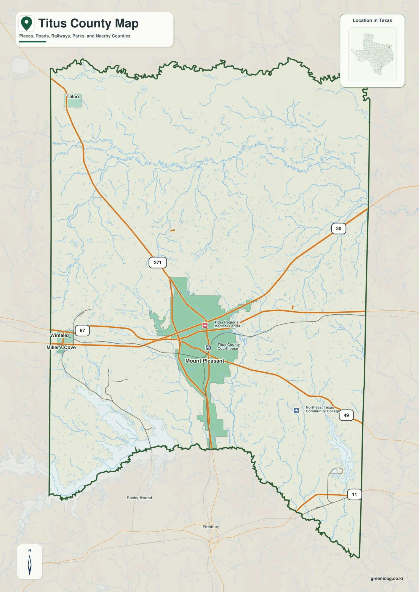
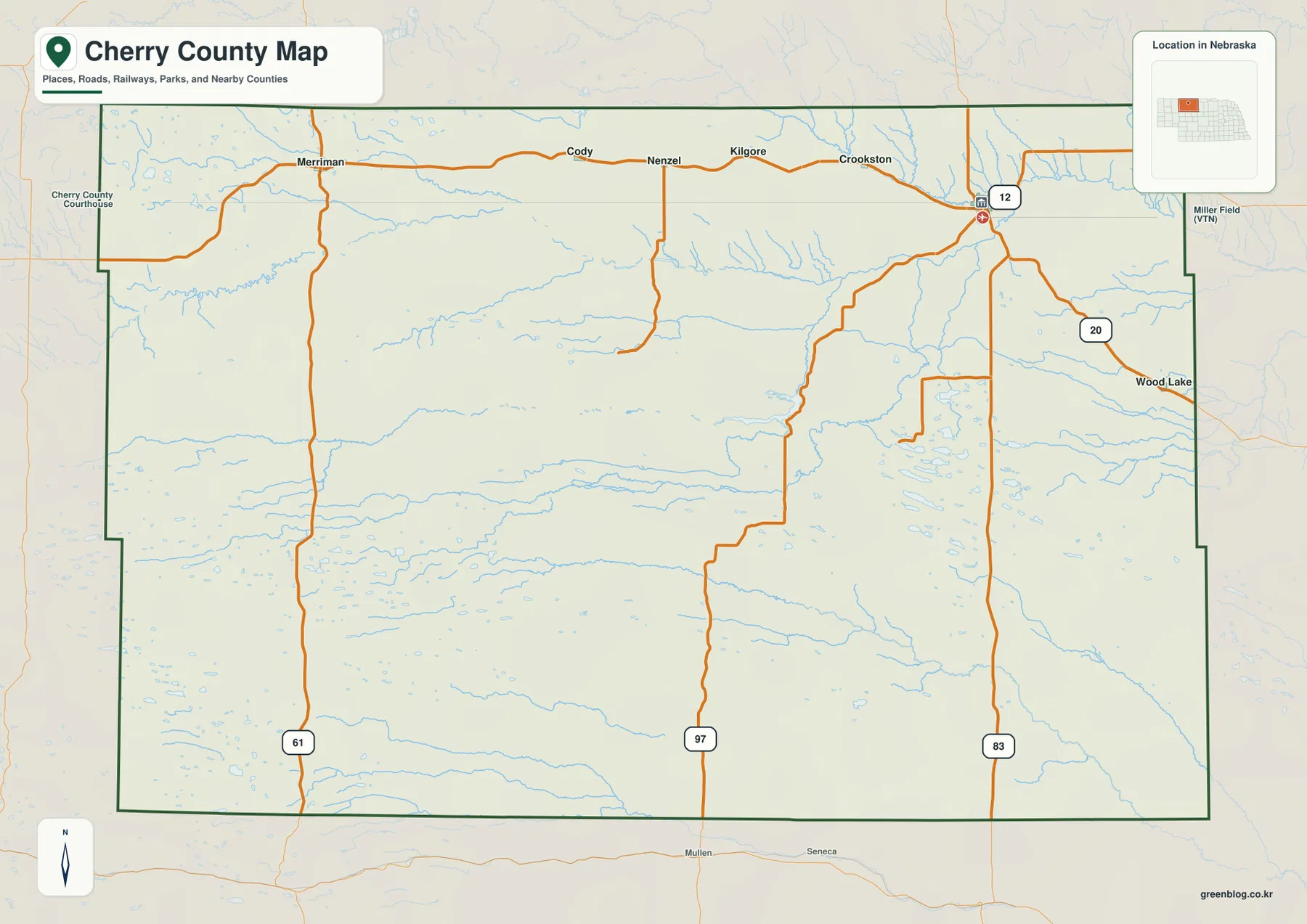
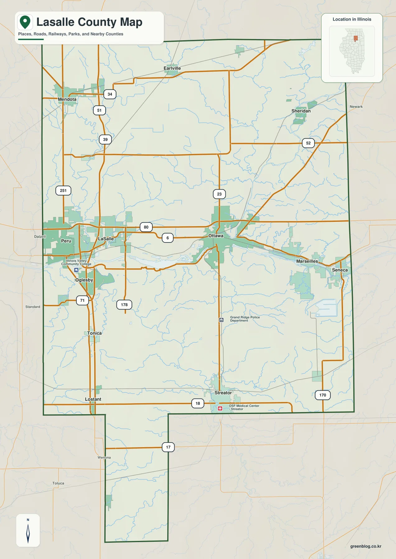
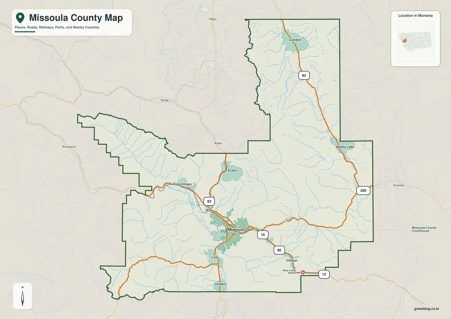
Missoula County combines a broad urban valley around Missoula with long mountain corridors that extend west and far north into the Swan Valley. Interstate 90 and U.S. 93 provide the strongest road references around Missoula, while Lolo, Frenchtown, Evaro, and Clinton mark the surrounding valleys. Farther north, Route 83 links Seeley Lake and Condon through a much narrower mountain setting. The terrain-and-water map adds Clark Fork, Bitterroot, Blackfoot, and Swan rivers, together with a chain of lakes in the north. High-resolution JPG versions of the maps are available together in the download ZIP below.
Missoula County’s official About page describes a western Montana county of roughly 2,600 square miles with several large valleys and major rivers running through mountainous terrain. That description fits the supplied maps closely. The Missoula basin is the broadest low area and contains the densest road network, while the northern Swan Valley is a long green corridor bordered by high ridges.
Table of Contents
Interstate 90 and U.S. 93 organize the Missoula valley
On the general county map, Missoula sits near the south-central portion of the county. Interstate 90 runs west toward Frenchtown and east toward Clinton, while U.S. 93 passes through the Wye-Evaro corridor to the north and continues south toward Lolo and Carlton.
Frenchtown provides a useful western reference, and Wye marks the northwestern edge of the urban road network. Evaro sits farther north where the valley begins to narrow. South of Missoula, Lolo and Carlton help locate the route into the Bitterroot Valley.
Clinton lies east of Missoula along the I-90 corridor, and Rock Creek Airport is labeled farther southeast. The map is intended for regional orientation rather than live travel conditions, so construction, winter closures, and smaller mountain-road access should be checked separately.
Route 83 follows the long Seeley Lake-Condon corridor
The county’s northeastern extension has a very different shape from the Missoula basin. Route 83 runs through a long mountain valley with Seeley Lake in the southern part and Condon much farther north. Large towns are sparse along this corridor, so the road, river, and lake names become especially important.
Route 200 provides an east-west reference near the Seeley Lake side. The terrain-and-water map shows that this apparently simple road corridor contains multiple lakes and river valleys packed between high mountain ranges.
Condon lies in the upper Swan Valley, surrounded by long ridges on both sides. For this northern section, Route 83, Swan River, and the sequence of lakes provide a more useful framework than settlement names alone.
Missoula is the only ranked city on the city map
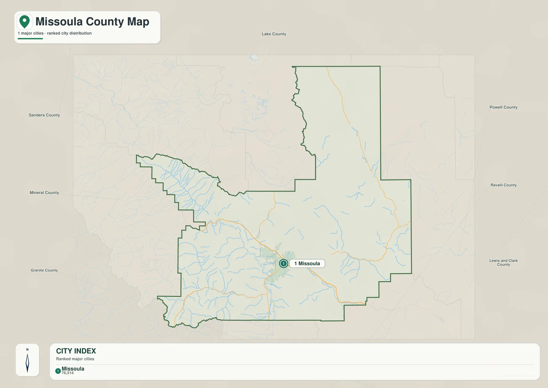
The city map contains one ranked place: Missoula. Its CITY INDEX lists Missoula at 76,514. This value is embedded in the supplied map and should not be treated as a guaranteed current population estimate. Current demographic totals should be checked through recent U.S. Census Bureau data.
Missoula occupies the broad south-central basin. The map also labels surrounding counties including Lake, Sanders, Mineral, Granite, Ravalli, Powell, and Lewis and Clark, showing how Missoula County stretches through a large part of western Montana.
Because Missoula is the only ranked city, there are no connector lines or mileage labels. No straight-line or driving distance should be inferred from the visual spacing to Lolo, Frenchtown, Seeley Lake, or other communities. Actual trips should be checked on the general map and with current navigation information.
Clark Fork, Bitterroot, and Blackfoot rivers shape the Missoula basin
The terrain-and-water map makes the river setting around Missoula especially clear. Clark Fork River crosses the central basin and continues west, Bitterroot River approaches from the south, and Blackfoot River enters from the east. Together they create broad lower corridors between surrounding mountain blocks.
These river valleys also explain why Missoula contains the densest road and settlement pattern in the county. The central basin is wider and lower than most of the surrounding terrain, and many smaller tributaries descend from the mountains into the main rivers.
The terrain-and-water map is intended for geographic reference. It does not establish flood zones, water depth, parcel boundaries, water rights, navigation conditions, or safe stream crossings. Current water and access conditions should be checked through the appropriate official sources.
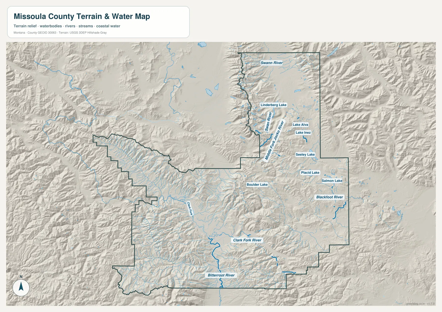
Swan River and a chain of lakes define the northern mountain valley
Swan River is the dominant watercourse in the long northern extension. It follows the Condon side southward through a broad green valley, while Middle Fork Jocko River occupies a separate mountain corridor to the west.
Seeley Lake, Placid Lake, and Salmon Lake cluster in the southern half of this corridor. Lake Alva and Lake Inez appear farther north, and Lindbergh Lake provides another landmark close to the Condon side. Their spacing makes the northern county much easier to divide into smaller sections.
Boulder Lake appears farther west in the central interior, and numerous short mountain streams fill the surrounding relief. In areas with few road labels, these named water features often provide the clearest way to identify individual valleys.
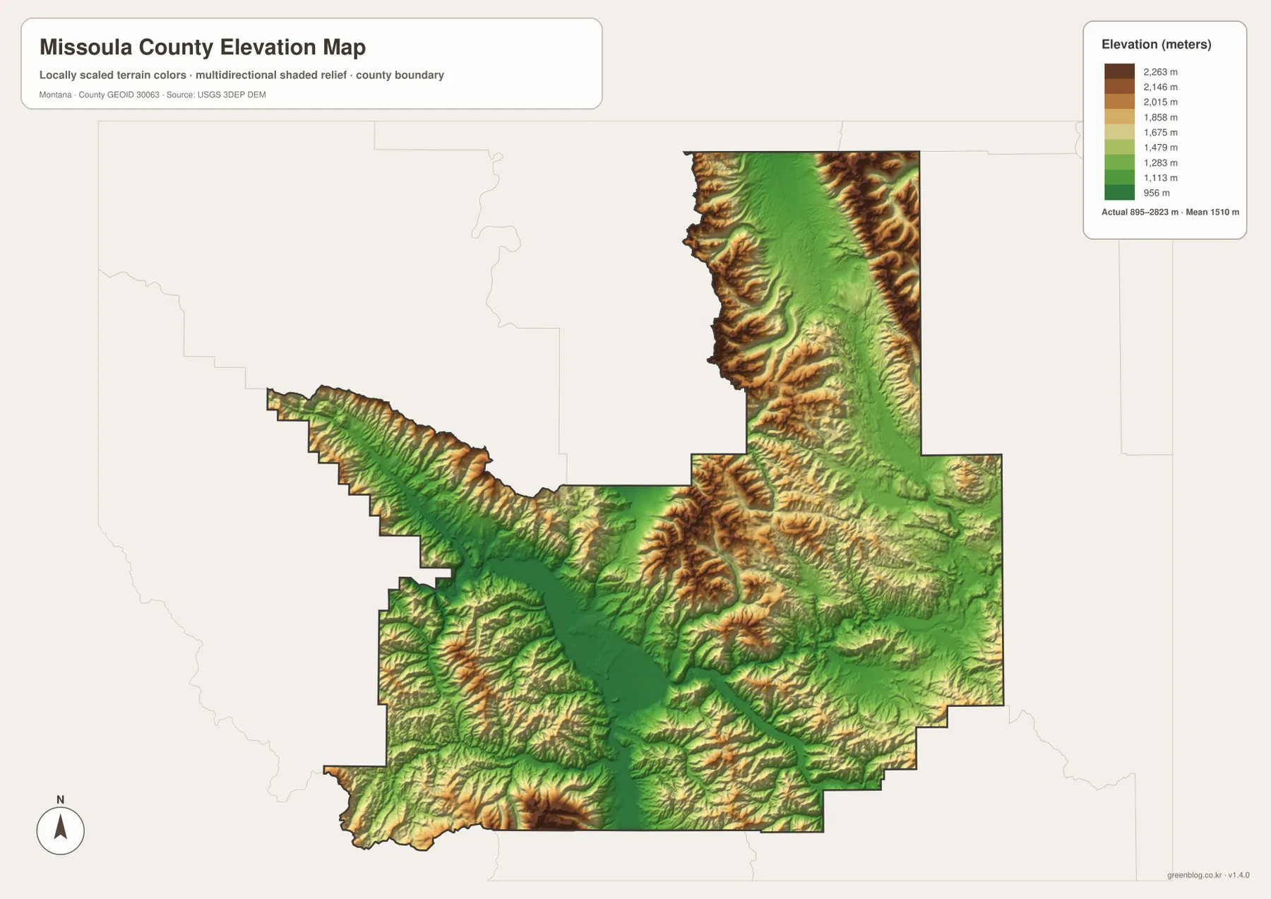
Elevation ranges from about 895 to 2,823 meters
The elevation map reports an actual county range of about 895 to 2,823 meters, with a mean elevation near 1,510 meters. The Missoula basin and the Clark Fork-Bitterroot valley system appear in dark and medium green, marking the broadest low terrain in the county.
The Swan Valley is another long green corridor, but high brown ridges rise sharply on both sides. Mountain terrain is also widespread across the west, southwest, and central-east, leaving only narrow lower routes along rivers and larger valleys.
Missoula itself occupies a distinctly lower basin compared with the surrounding mountains, and the main highways follow these lower corridors. The elevation map is intended for county-wide comparison only and should not be used as survey-grade or engineering-grade data for a specific property.
Missoula and the Swan Valley provide a simple map framework
A practical way to read Missoula County is to begin with Missoula and the Interstate 90-U.S. 93 road network. Frenchtown, Wye, Evaro, Lolo, and Clinton then provide the main outer references around the urban valley. The northern county is easier to treat as a separate Route 83 corridor centered on Seeley Lake and Condon.
Water features provide the next layer. Clark Fork, Bitterroot, and Blackfoot rivers organize the southern half, while Swan River and the chain of northern lakes explain the long northeastern extension. The contrast between these broad low valleys and the surrounding high terrain becomes especially clear on the elevation map.
The WebP images embedded in the article are convenient for quick browsing. The high-resolution JPG files in the ZIP are better for printing or enlarging small road, river, and lake labels. Because these are static reference maps, current road access, water levels, and seasonal restrictions should be checked through current official information.
Frequently Asked Questions
Does the Missoula County city map show distances between cities?
No. Missoula is the only ranked city on the supplied city map, so there are no connector lines, straight-line distances, or road mileages to other communities.
Where is the highest terrain in Missoula County?
High terrain is widespread around the Swan Valley and across the western, southwestern, and central mountain areas. The Missoula basin and major river corridors are much lower.
Can the 895–2,823 meter elevation range be used for a property or engineering project?
No. The range is a county-wide reference for comparing lower valleys with high mountain terrain. Precise site elevations should come from an authoritative source such as the USGS 3D Elevation Program and, when necessary, a professional survey.
Map File Information
Download the Missoula County county, city, terrain-and-water, and elevation maps as high-resolution A3 JPG files.
- Included Files: county map, city map, terrain and water map, elevation map
- File Type: ZIP containing 4 JPG files
Related Maps
Sources and References
County government and local background are available from the official Missoula County website and the county’s About Missoula County page, which describes a western Montana county with several large valleys and major rivers and identifies Missoula as the county seat.
Boundary and road-reference data can be checked through U.S. Census Bureau TIGER/Line Shapefiles. Hydrographic data are available from USGS National Hydrography, and elevation data through the USGS 3D Elevation Program.
Green Map creates custom-edited map images using open geographic data sources such as geoBoundaries, Natural Earth, OpenStreetMap, and government open data. These maps are edited visual materials, not raw data files, and are provided for education, documents, presentations, and graphic reference.