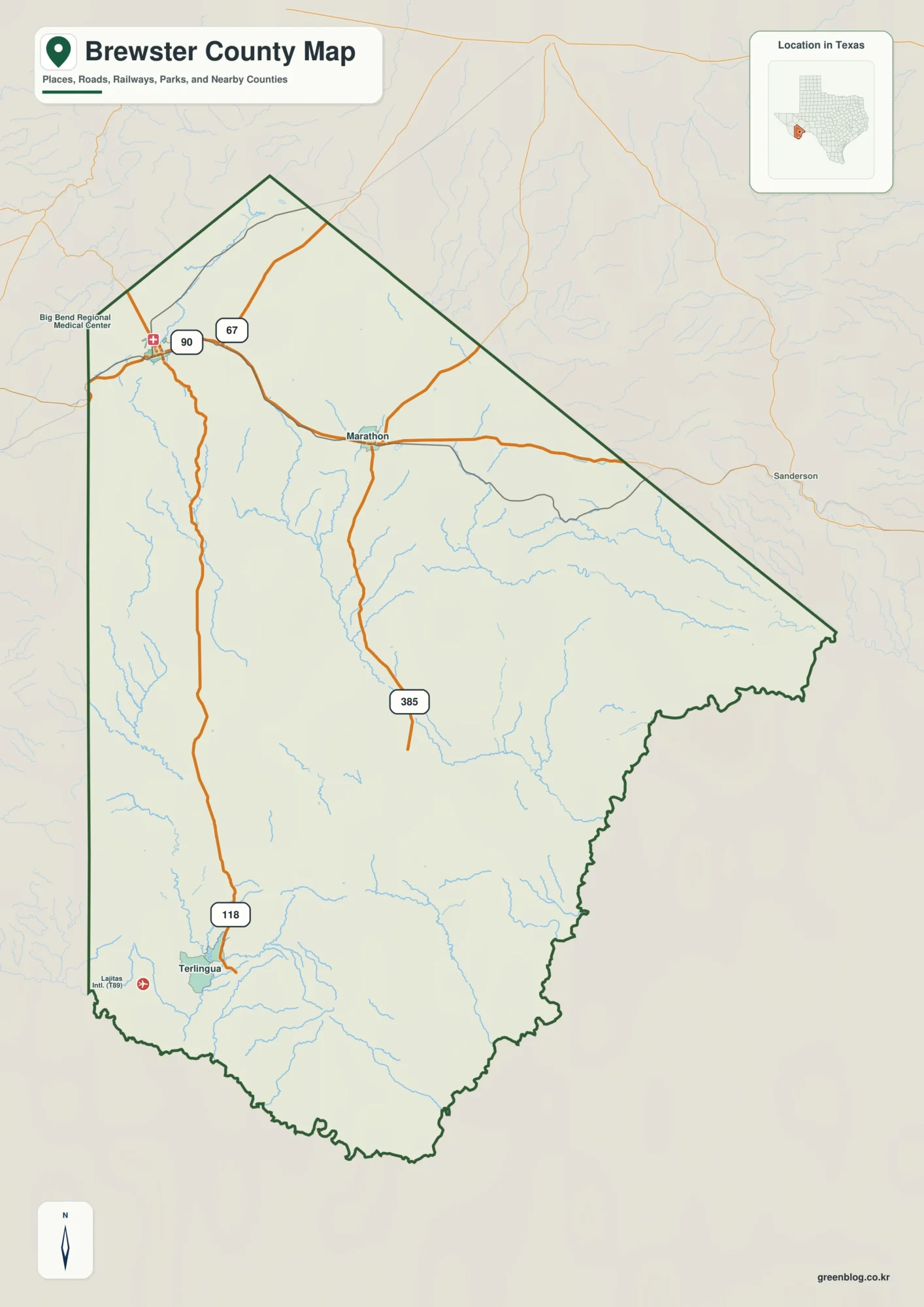
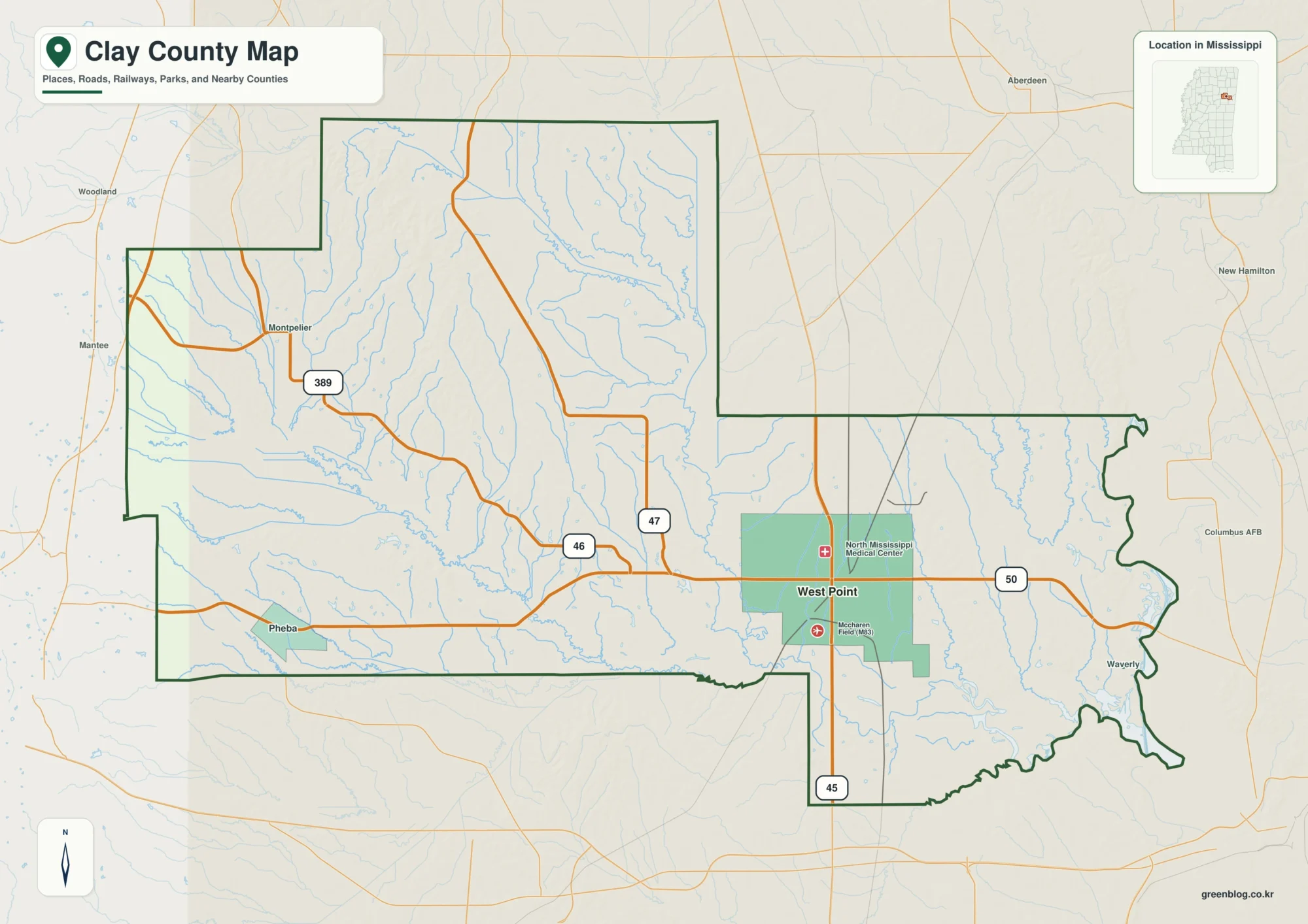
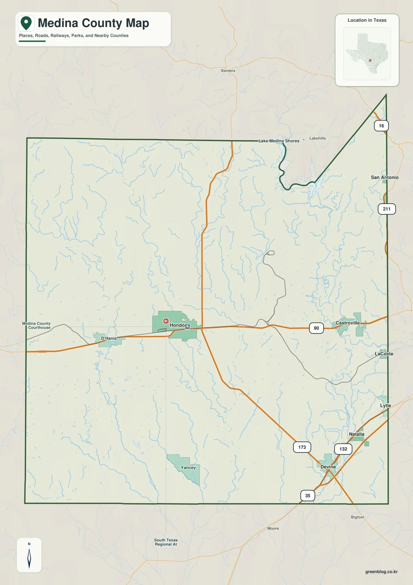
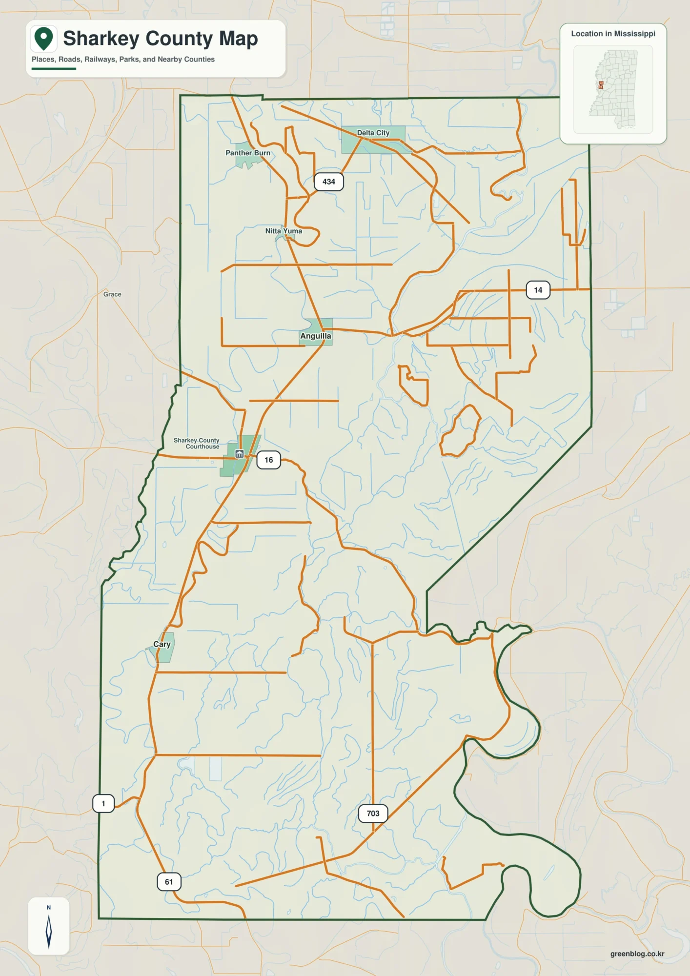
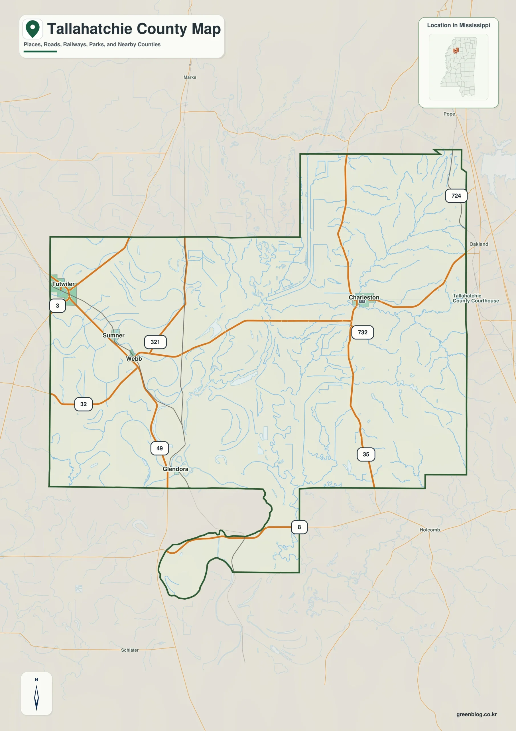
The Tallahatchie County Mississippi map compares Charleston in the east and Sumner in the west, the county's two seats, then places Tutwiler, Webb, and Glendora across the Delta plain. The Tallahatchie River provides the principal natural division between hilly eastern ground and flat western farmland.
Tallahatchie County Mississippi map download
The WebP preview is optimized for the page, while the button preserves the original high-resolution JPG for printing and reuse.
- File: County reference map
- Format: JPG
- Print layout: A3
Quick Facts
- State and identifier: Mississippi, Tallahatchie County; FIPS 28135
- County seat: Charleston and Sumner
- Selected map labels: Charleston, Sumner, Tutwiler, Webb, Glendora
- 2020 census population: 12,715
- July 2025 population estimate: 10,877
- 2025 Gazetteer area: 645.590 sq mi land and 6.552 sq mi water
- 2020 land-area density: 19.7 residents per sq mi
- Primary route references: US 49E, MS 32, MS 35, and MS 3
- Landscape references: Tallahatchie River, Delta floodplain, eastern loess hills, bayous, and dual judicial districts
The decennial count and July 2025 estimate use different reference dates. Land and water measurements come from the 2025 Gazetteer. The density of 19.7 residents per square mile divides the 2020 population by 2025 land area and does not imply an even distribution among cities, farms, forest, or wetland.
Reading the Tallahatchie County Mississippi map
MS 32 links Charleston with Webb and Sumner to the west, while MS 35 passes north and south through Charleston. US 49E serves Tutwiler and the Glendora area on the western Delta side, and MS 3 supplements northwestern access. Levee roads and farm lanes are selectively omitted.
Boundary, Water, and Terrain
The Tallahatchie River bends across the county, creating bayous and floodplain land. Straight drainage canals and large fields repeat in the west, while wooded hills rise toward Panola and Yalobusha counties in the east. A limited number of river bridges connect these two contrasting landscape zones.
Although Tallahatchie River and Delta floodplain is geographically important, only about 1.0 percent of the county’s 652.142 square miles is recorded as water. Tallahatchie River and Delta floodplain should be interpreted with roads and settlement labels rather than as a continuous water landscape. The spacing from Charleston to Sumner, then toward Quitman, gives the map a practical scale. The anchors at Charleston and Sumner explain the county while smaller communities remain selectively labeled.
Settlement and Regional Context
Charleston and Sumner administer different judicial districts, and the Sumner courthouse is associated with the history of Emmett Till. Tutwiler and Webb are smaller towns shaped by rail and agriculture. The July 2025 estimate is about 14.5 percent below the 2020 base, one of the batch's steepest declines.
Practical Map Uses
- Identify Charleston and Sumner as dual county seats
- Compare terrain east and west of the Tallahatchie River
- Orient Tutwiler and Glendora along US 49E
Frequently Asked Questions
Does Tallahatchie County have only one county seat?
No. Charleston and Sumner serve separate judicial and administrative districts, so both belong on a complete reference map.
Which different map roles are served by Charleston, Tallahatchie River, and the Quitman side?
Charleston works as a place anchor, Tallahatchie River as a landscape anchor, and Quitman as an outer reference for reading three different layers of the county.
Sources
- U.S. Census Bureau QuickFacts
- U.S. Census Bureau 2025 Gazetteer Files
- Mississippi Department of Transportation official highway map
- Regional landscape or institution reference
Related County Maps
Green Map creates custom-edited map images using open geographic data sources such as geoBoundaries, Natural Earth, OpenStreetMap, and government open data.
These maps are edited visual materials, not raw data files, and are provided for education, documents, presentations, and graphic reference.