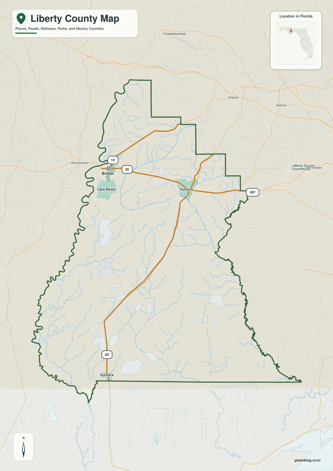
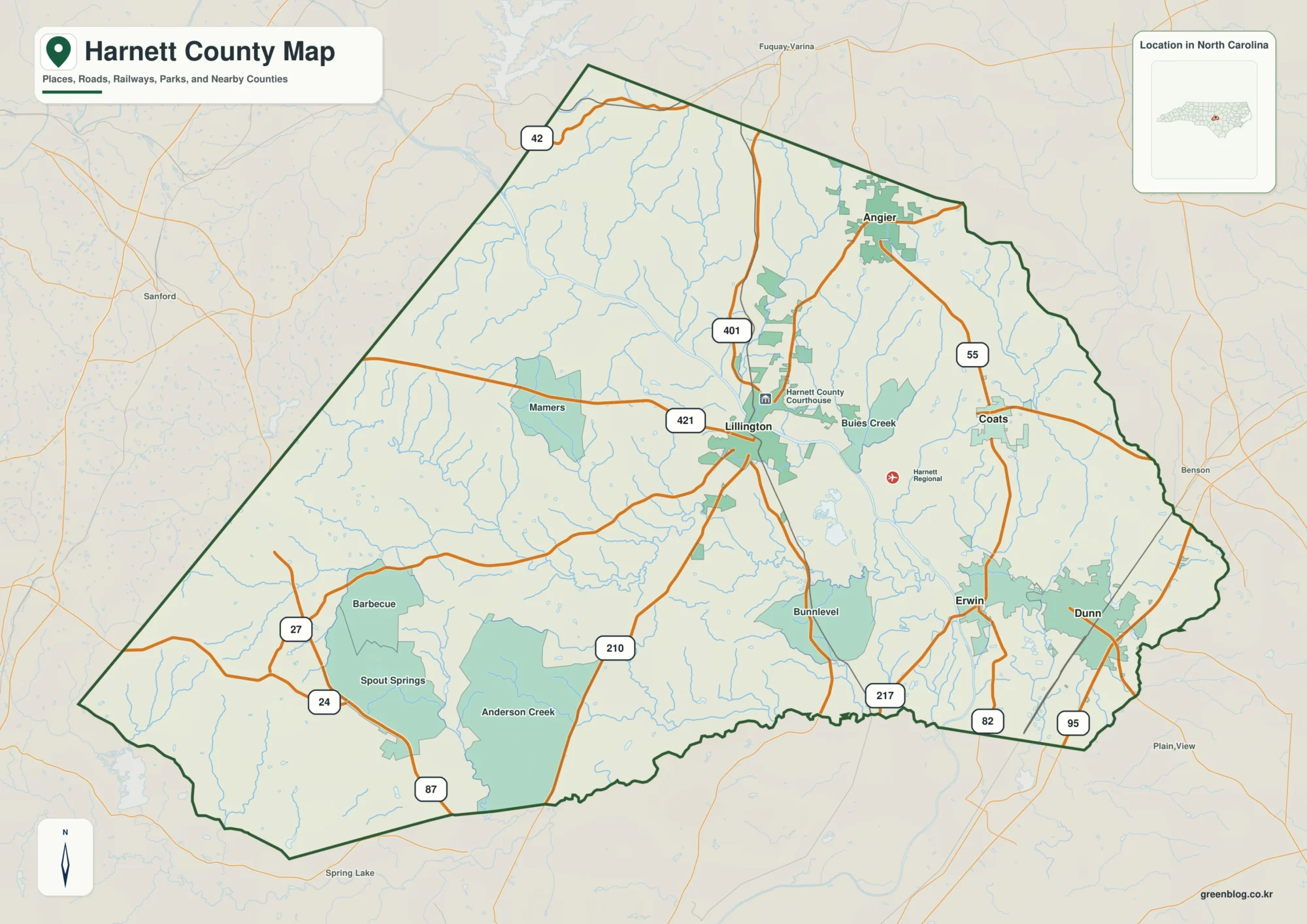
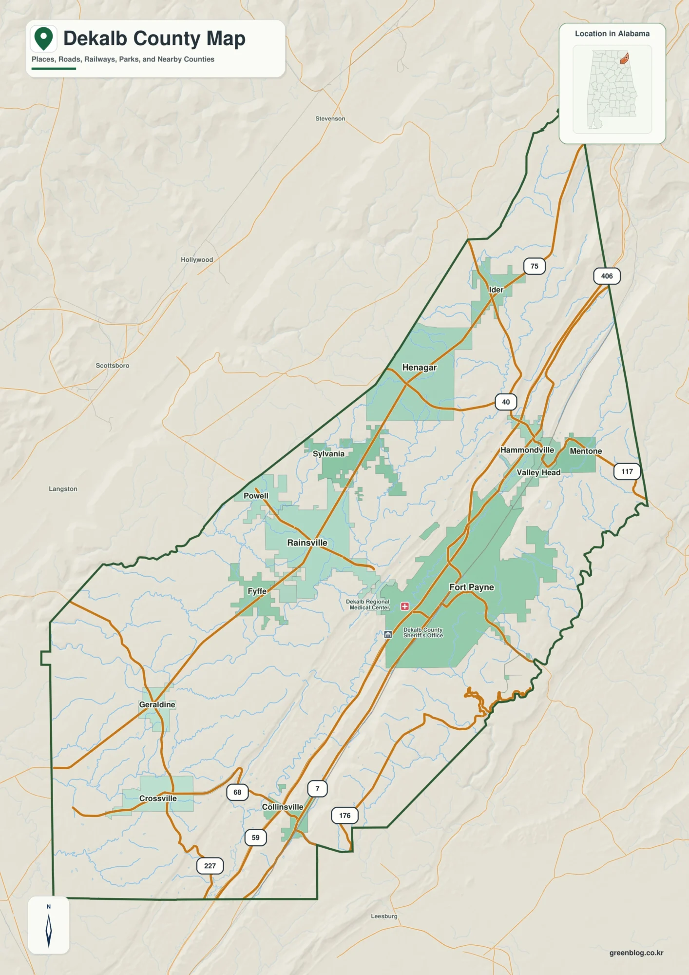
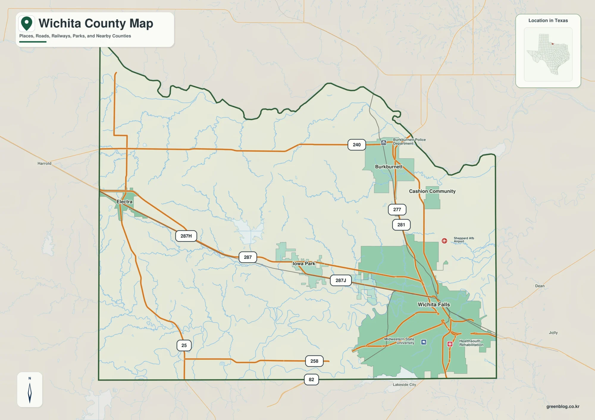
Gulfport and Biloxi form the main urban spine on the Harrison County Mississippi map. Long Beach and Pass Christian extend that pattern westward, D'Iberville sits across Back Bay, and Saucier provides a contrasting inland reference north of I-10.
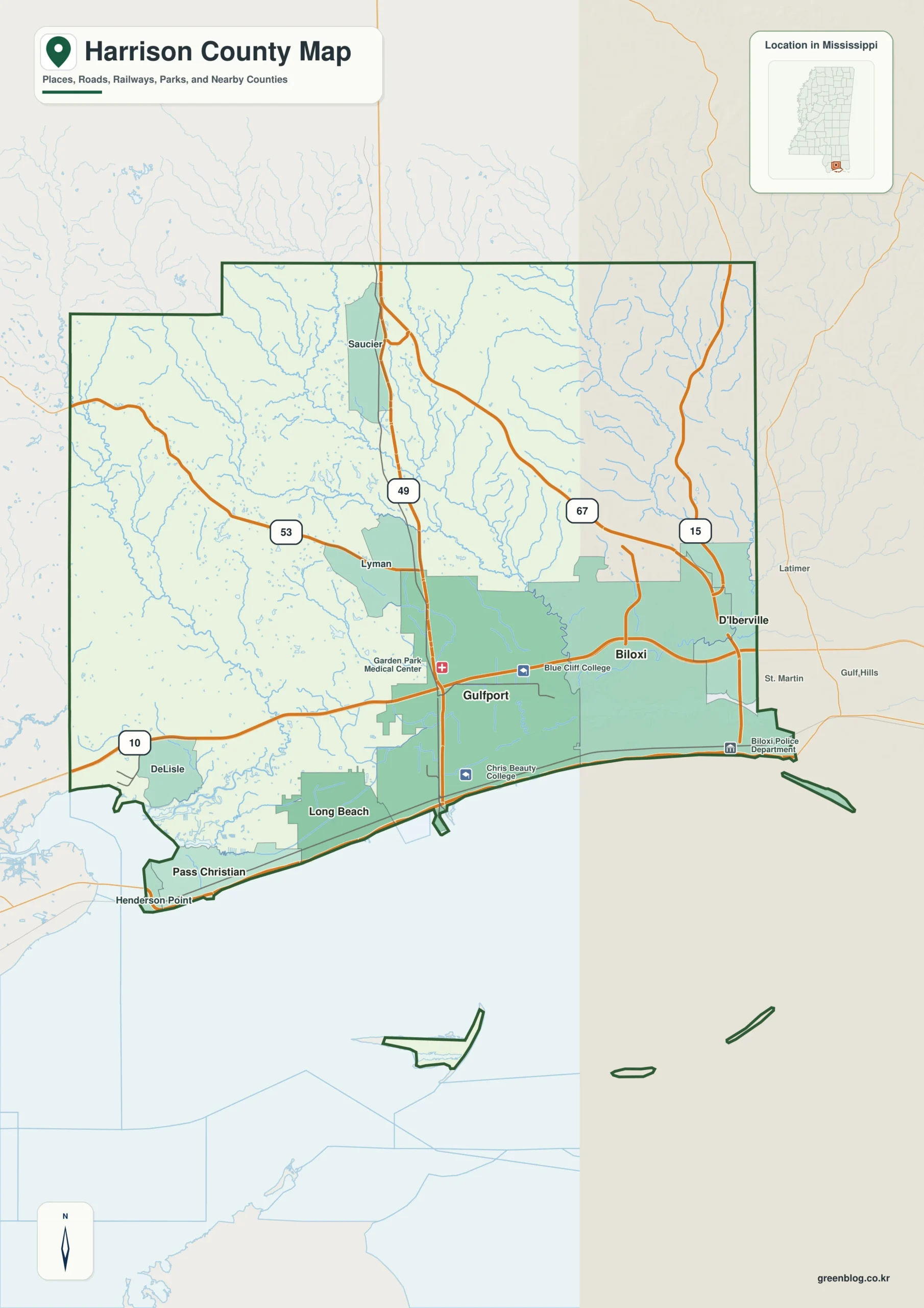
Harrison County Mississippi map download
The WebP preview is optimized for the page, while the button preserves the original high-resolution JPG for printing and reuse.
- File: County reference map
- Format: JPG
- Print layout: A3
Quick Facts
- State and identifier: Mississippi, Harrison County; FIPS 28047
- County seat: Gulfport and Biloxi
- Selected map labels: Gulfport, Biloxi, D'Iberville, Long Beach, Pass Christian, Saucier
- 2020 census population: 208,621
- July 2025 population estimate: 217,136
- 2025 Gazetteer area: 573.650 sq mi land and 411.039 sq mi water
- 2020 land-area density: 363.7 residents per sq mi
- Primary route references: I-10, US 90, US 49, and I-110
- Landscape references: Mississippi Sound, Back Bay of Biloxi, barrier islands, beaches, and coastal plain
The decennial count and July 2025 estimate use different reference dates. Land and water measurements come from the 2025 Gazetteer. The density of 363.7 residents per square mile divides the 2020 population by 2025 land area and does not imply an even distribution among cities, farms, forest, or wetland.
Reading the Harrison County Mississippi map
Read the shoreline from Pass Christian through Long Beach and Gulfport to Biloxi. US 49 turns north from Gulfport toward Saucier, while I-110 links Biloxi with D'Iberville. The selected county map simplifies the dense street network and does not replace municipal, evacuation, or beach-access maps.
Boundary, Water, and Terrain
Harrison County borders Hancock County on the west, Jackson County on the east, and Stone County on the north. Mississippi Sound and the offshore portion of the county account for unusually large water acreage. I-10 roughly separates the heavily developed coastal corridor from a more wooded and rural northern interior.
Settlement and Regional Context
Two county-seat centers reflect the coast's divided urban geography: Gulfport is associated with the port and a major north-south highway, while Biloxi anchors the eastern tourism and military cluster. D'Iberville has grown around Back Bay and the interstate. The 2025 estimate exceeds the 2020 count by more than 8,000 residents, reinforcing the importance of the coastal metropolitan corridor.
Practical Map Uses
- Sequence the coast from Pass Christian to Biloxi along US 90
- Compare Biloxi with D'Iberville across Back Bay
- Follow US 49 from Gulfport into the Saucier interior
Frequently Asked Questions
Why are both Gulfport and Biloxi important administrative references?
Harrison County uses both cities as county-seat centers. Their separation also matches the county's two major coastal urban clusters.
Why compare Mississippi Sound with Gulfport before reading the side toward Hancock?
Gulfport is a settlement anchor, while Mississippi Sound supplies a physical reference for separating the county interior from the approach to Hancock.
Sources
- U.S. Census Bureau QuickFacts
- U.S. Census Bureau 2025 Gazetteer Files
- Mississippi Department of Transportation official highway map
- Regional landscape or institution reference
Related County Maps
Green Map creates custom-edited map images using open geographic data sources such as geoBoundaries, Natural Earth, OpenStreetMap, and government open data.
These maps are edited visual materials, not raw data files, and are provided for education, documents, presentations, and graphic reference.