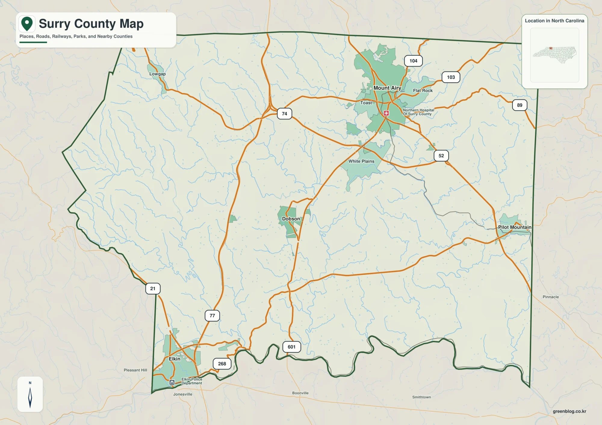
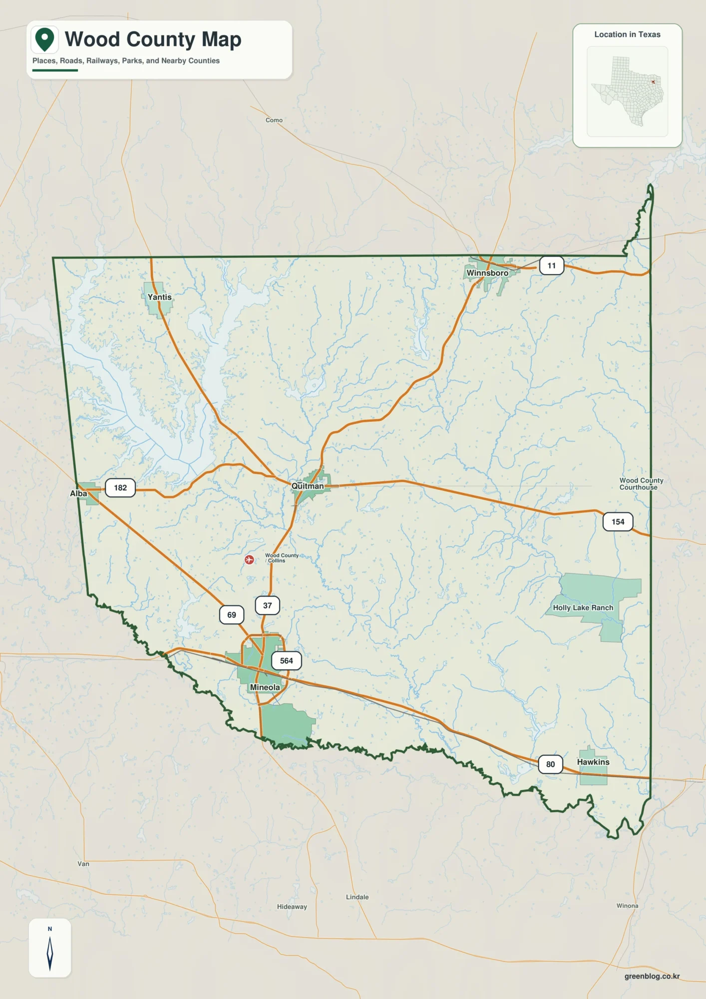
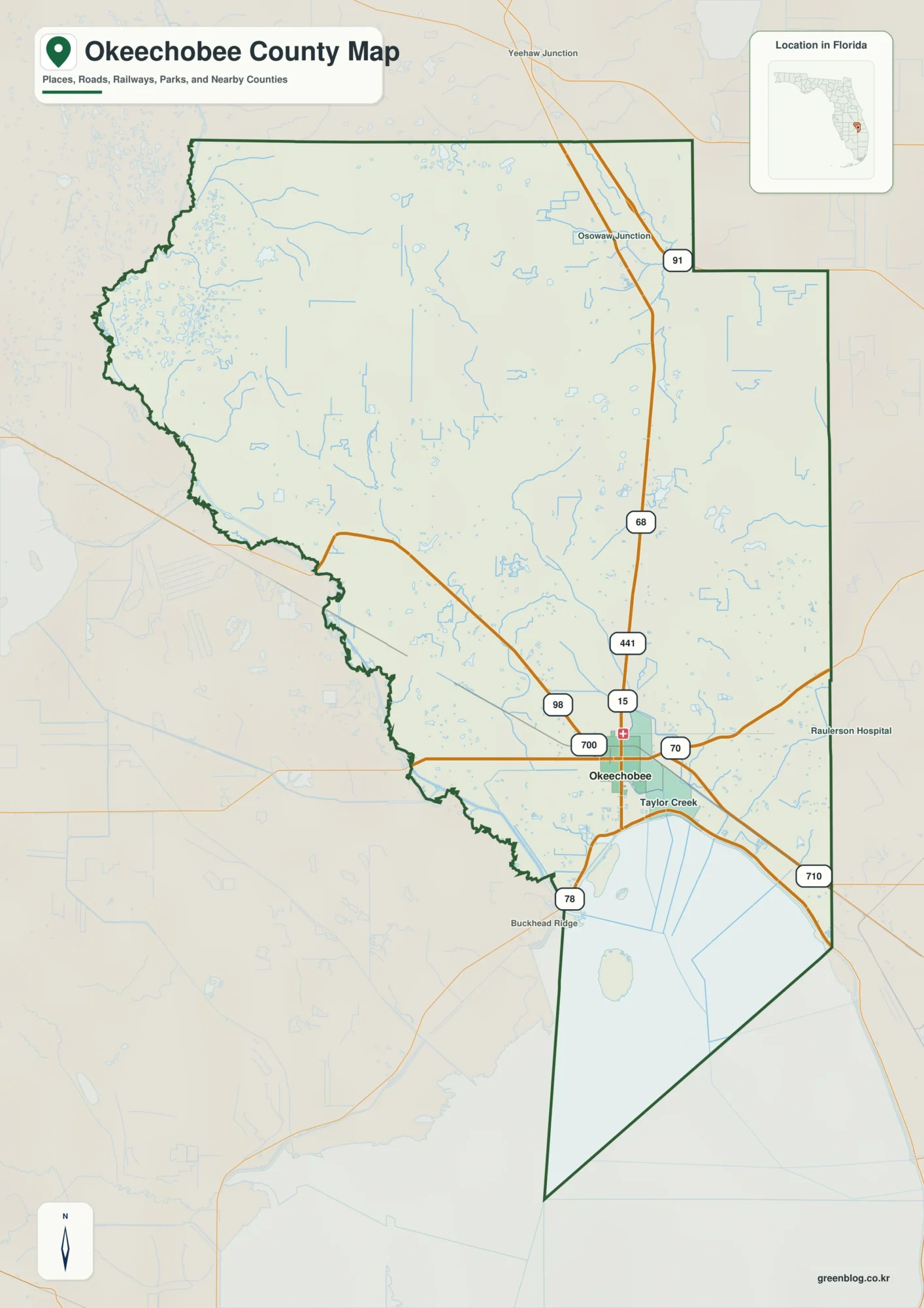
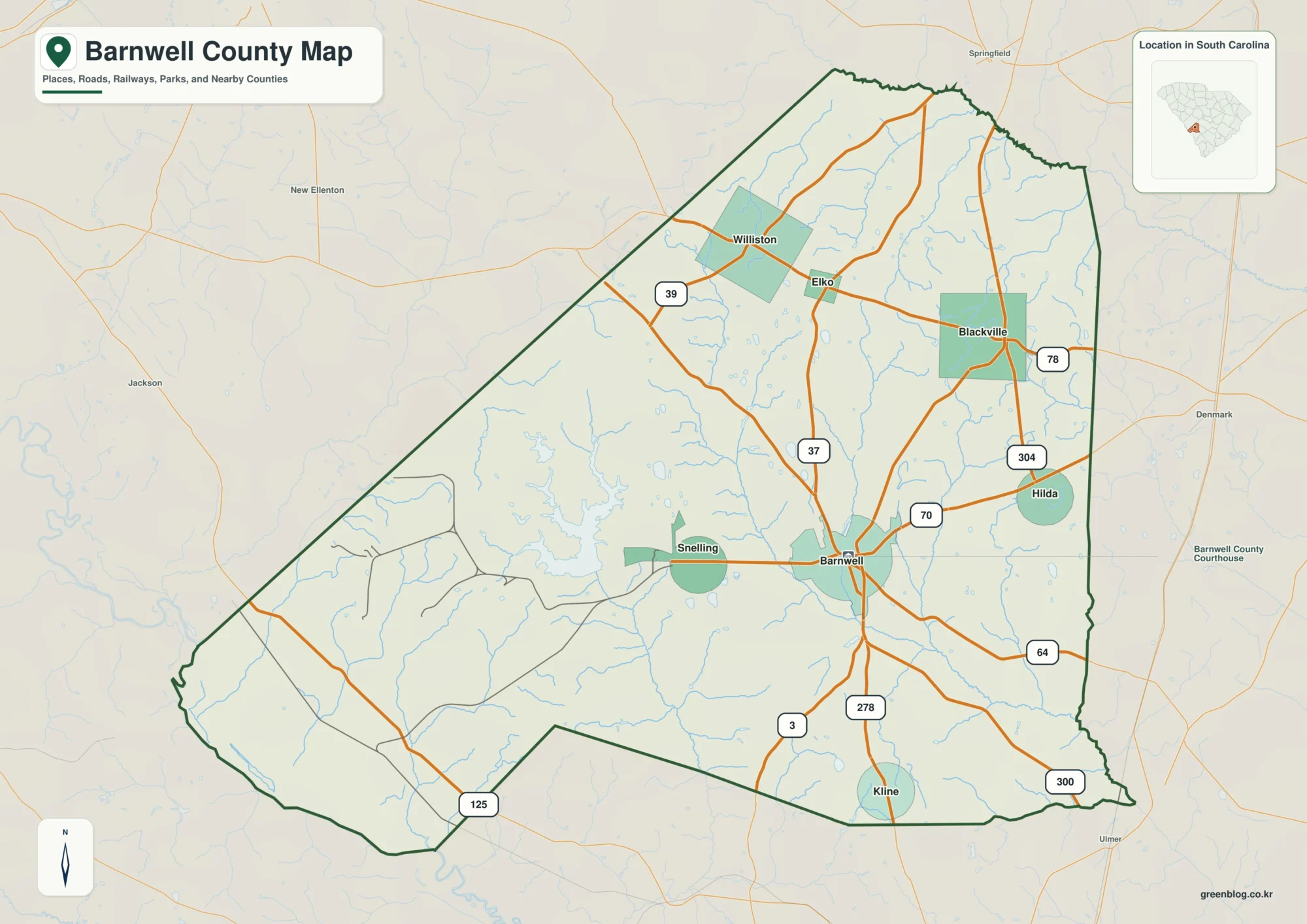
The Adams County Mississippi map is organized around Natchez, the county seat, and the high ground overlooking the Mississippi River. It provides a county-scale reference for comparing Natchez with Washington, Sibley, and Cloverdale while keeping the river boundary and principal approaches in view.
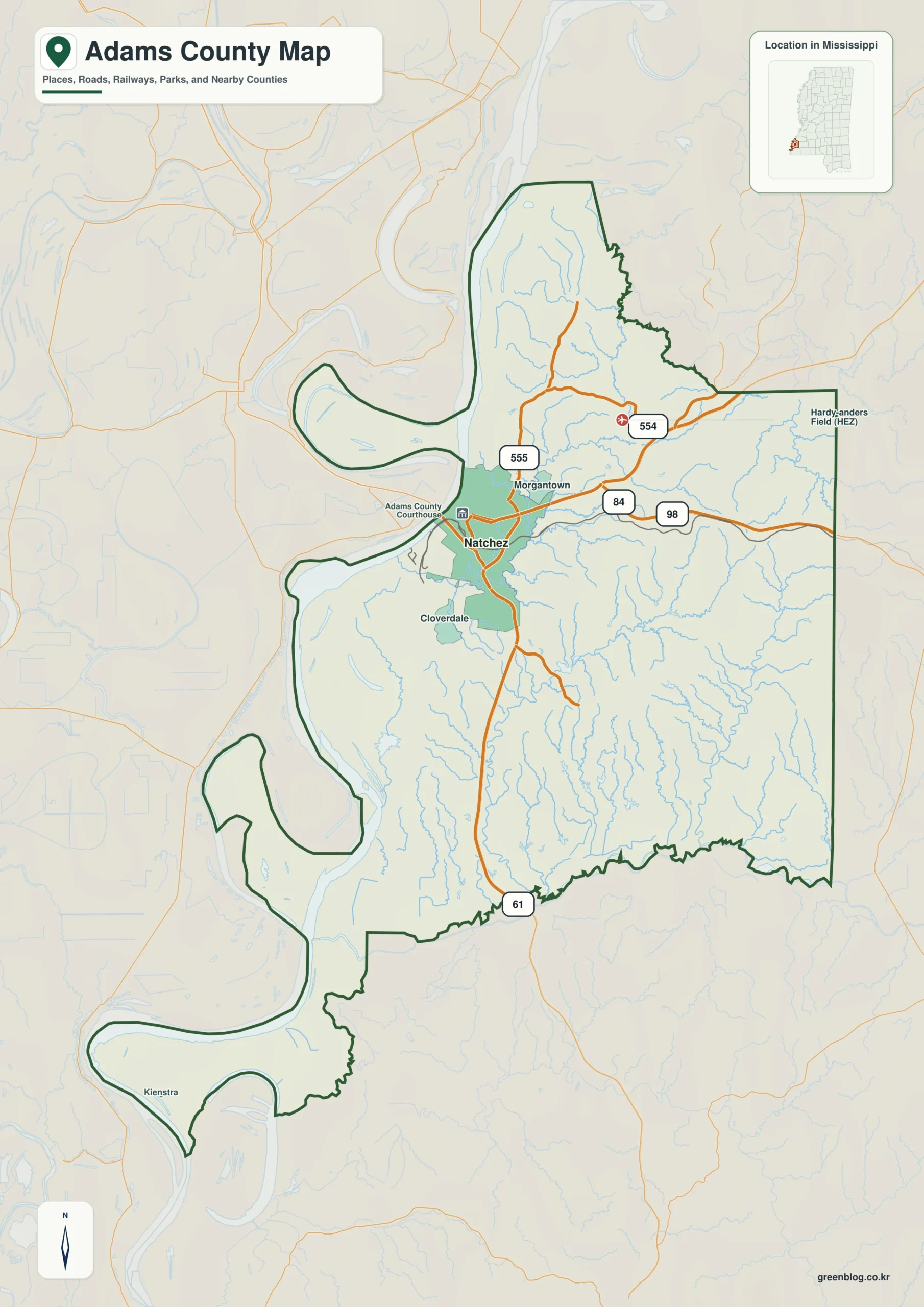
Adams County Mississippi map download
The WebP preview is optimized for the page, while the button preserves the original high-resolution JPG for printing and reuse.
- File: County reference map
- Format: JPG
- Print layout: A3
Quick Facts
- State and identifier: Mississippi, Adams County; FIPS 28001
- County seat: Natchez
- Selected map labels: Natchez, Washington, Sibley, Cloverdale
- 2020 census population: 29,538
- July 2025 population estimate: 30,061
- 2025 Gazetteer area: 462.344 sq mi land and 25.202 sq mi water
- 2020 land-area density: 63.9 residents per sq mi
- Primary route references: US 61, US 84, US 98, and Natchez Trace Parkway
- Landscape references: Mississippi River bluffs, St. Catherine Creek, and the southern terminus of the Natchez Trace Parkway
The decennial count and the July 2025 estimate represent different reference dates. Land and water values come from the 2025 Gazetteer. The density of 63.9 residents per square mile uses the 2020 population and land area; it does not imply an even distribution among towns, farms, forests, or floodplain.
Adams County Mississippi map: What It Shows
Natchez is the dominant urban label, but it should not be treated as the geometric center of the county. Washington supplies an inland historical anchor, while Sibley and Cloverdale help separate the southern and eastern approaches. US 61 is the main north–south reference; US 84 and US 98 explain movement between the river city and inland Mississippi.
County Layout and Location
The western edge follows the Mississippi River rather than a straight survey line. Across the water lies Concordia Parish, Louisiana. Elevation changes between the floodplain and the Natchez bluff help explain why roads converge on particular approaches; the static map is a regional locator, not a substitute for navigation or flood information.
Local Context: Natchez and River Bluffs
Adams was the first county organized in the Mississippi Territory, and Natchez developed through river commerce, territorial government, and the southern end of the Natchez Trace. That history still helps explain the strong concentration at Natchez and the more dispersed inland pattern surrounding Washington and smaller communities.
Ways to Use This Map
- Orient a Natchez history or cultural-tourism handout
- Compare the Mississippi River edge with inland road approaches
- Place Adams County within a southwest Mississippi regional study
Frequently Asked Questions
Why does Natchez sit close to the western edge of Adams County?
Natchez developed on the bluffs above the Mississippi River, so the county seat is not near the polygon’s visual center. Washington and the eastern approaches provide the counterpoints needed to read the full county width.
What does Mississippi River bluffs add between Natchez, Washington, and the boundary with Jefferson?
Natchez and Washington locate communities, whereas Mississippi River bluffs explains terrain or drainage before the map reaches the Jefferson boundary.
Sources
- U.S. Census Bureau QuickFacts
- U.S. Census Bureau Gazetteer Files
- Mississippi Encyclopedia: Adams County
- Mississippi Department of Transportation official highway map
Related County Maps
Green Map creates custom-edited map images using open geographic data sources such as geoBoundaries, Natural Earth, OpenStreetMap, and government open data.
These maps are edited visual materials, not raw data files, and are provided for education, documents, presentations, and graphic reference.