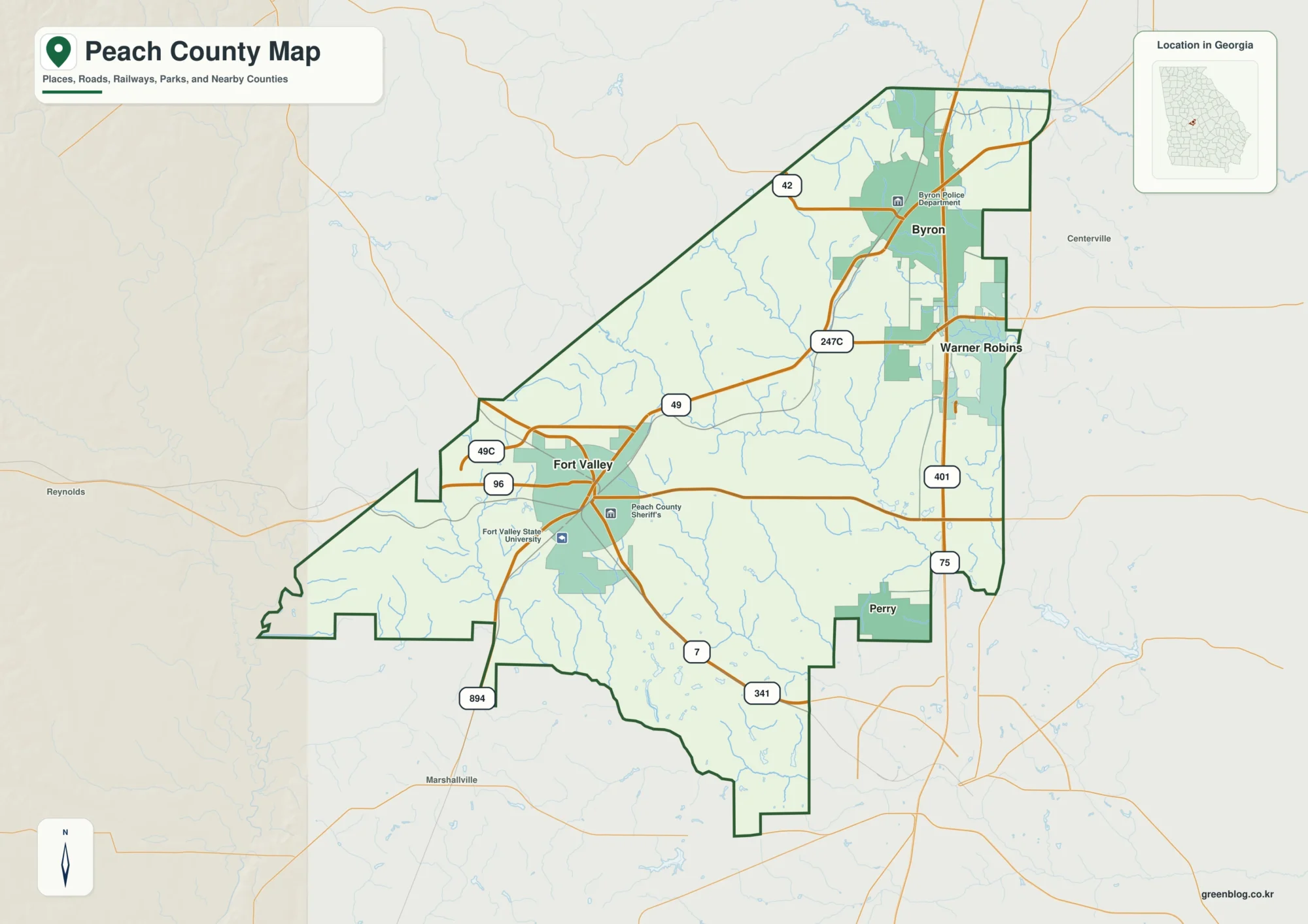
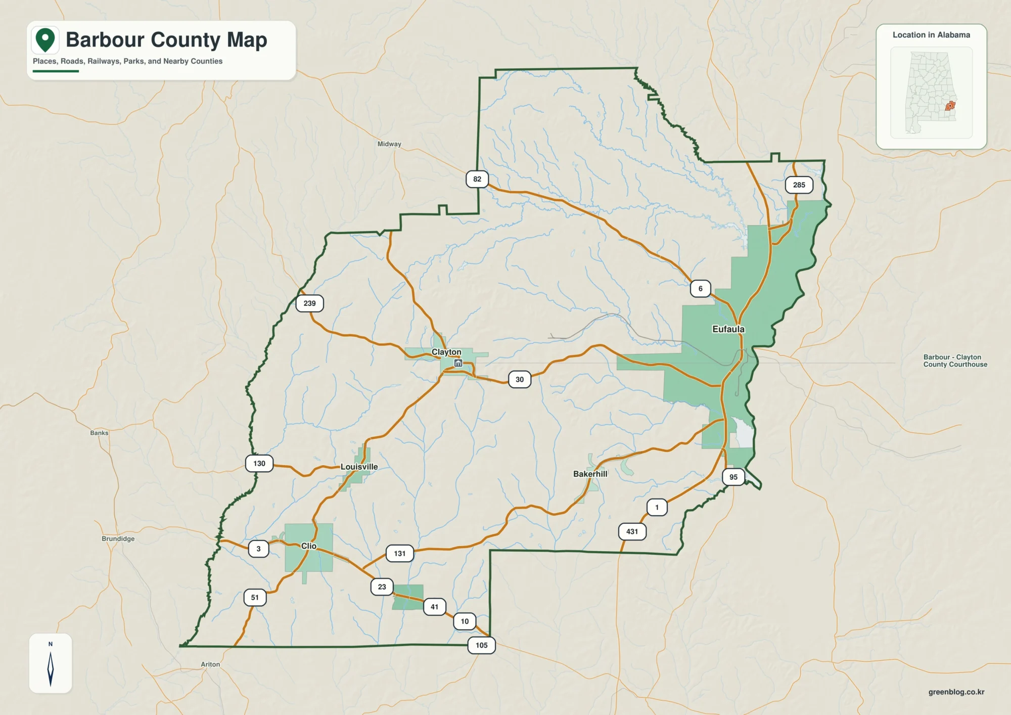
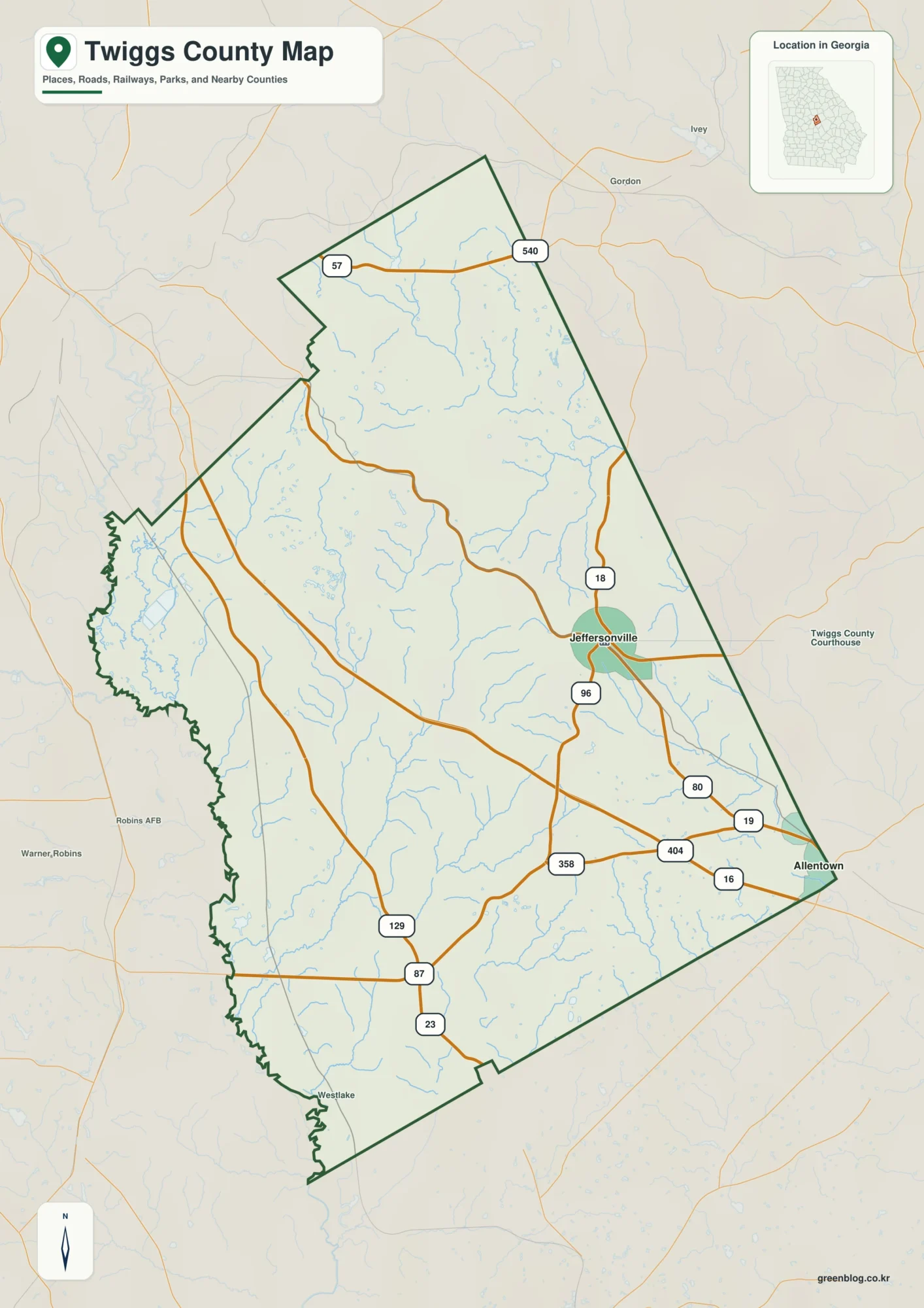
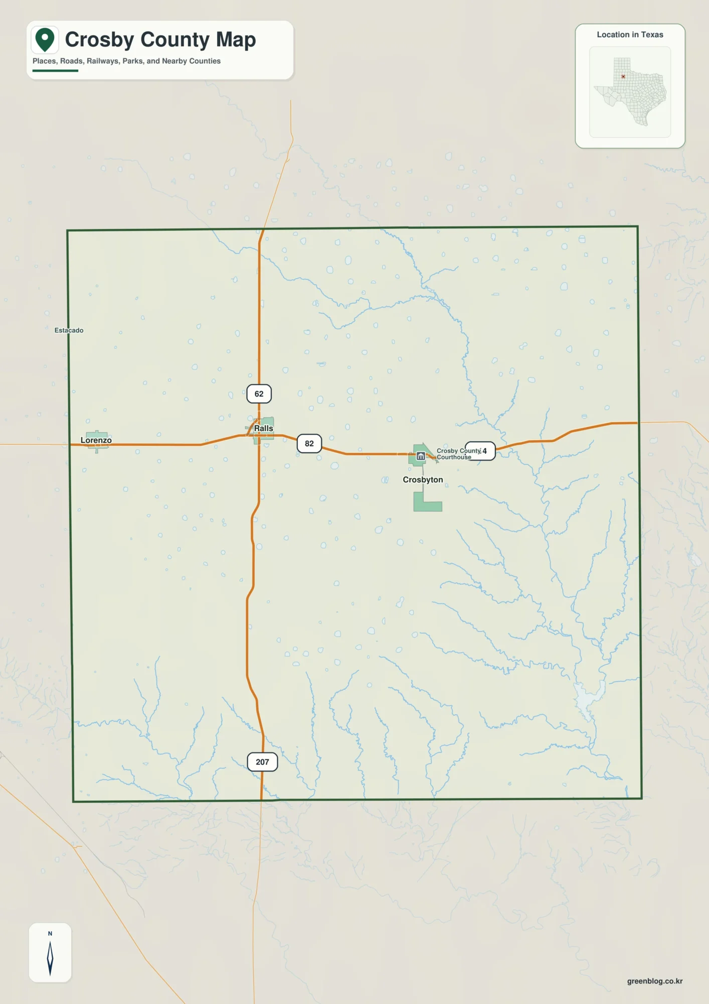
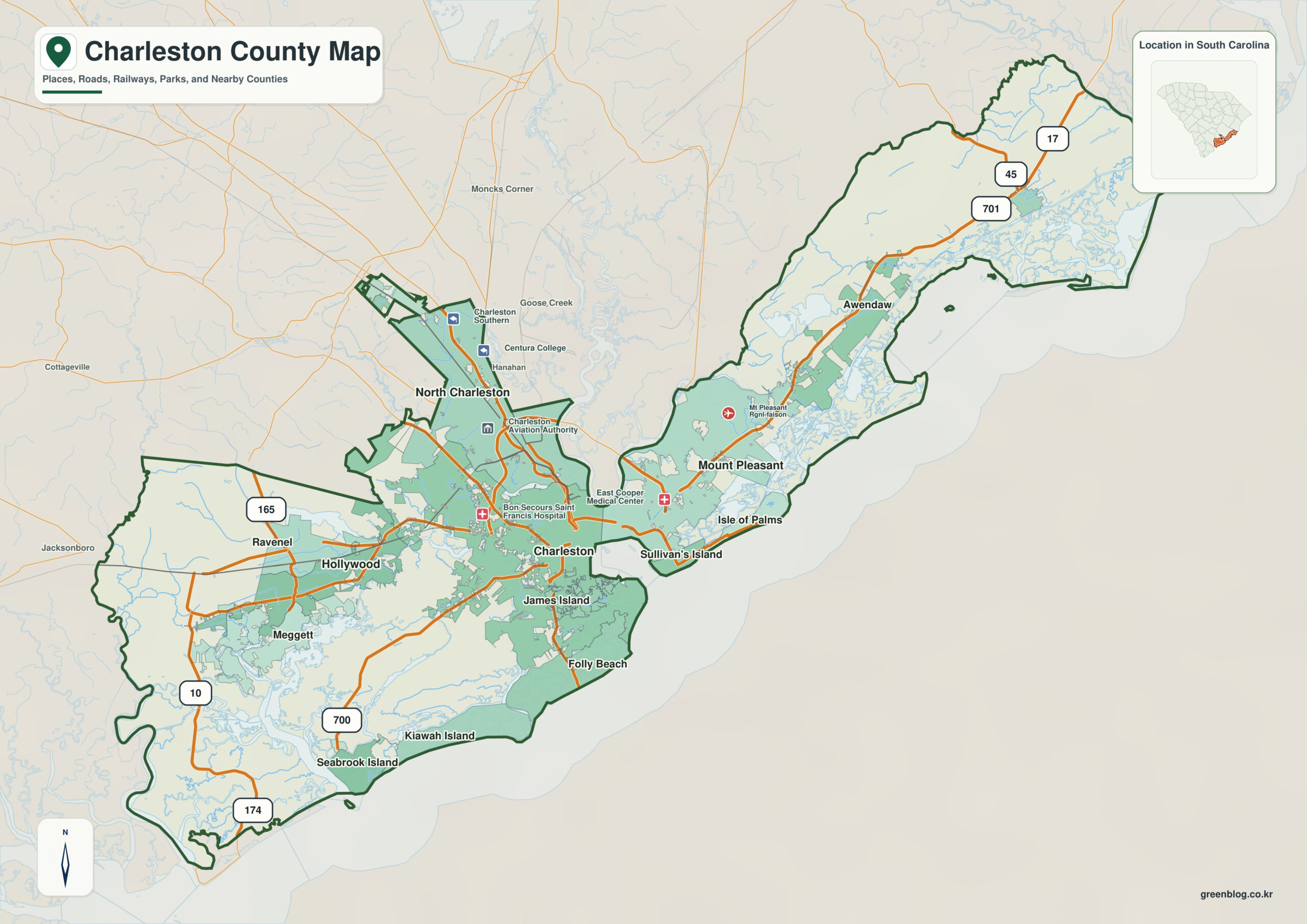
The Charleston County South Carolina map is a downloadable boundary reference centered on Charleston, the county seat, with Mount Pleasant added as a second orientation point. It is designed for readers who need the county outline, two labeled places, neighboring-county context, and a clean JPG file without the clutter of a full road map.
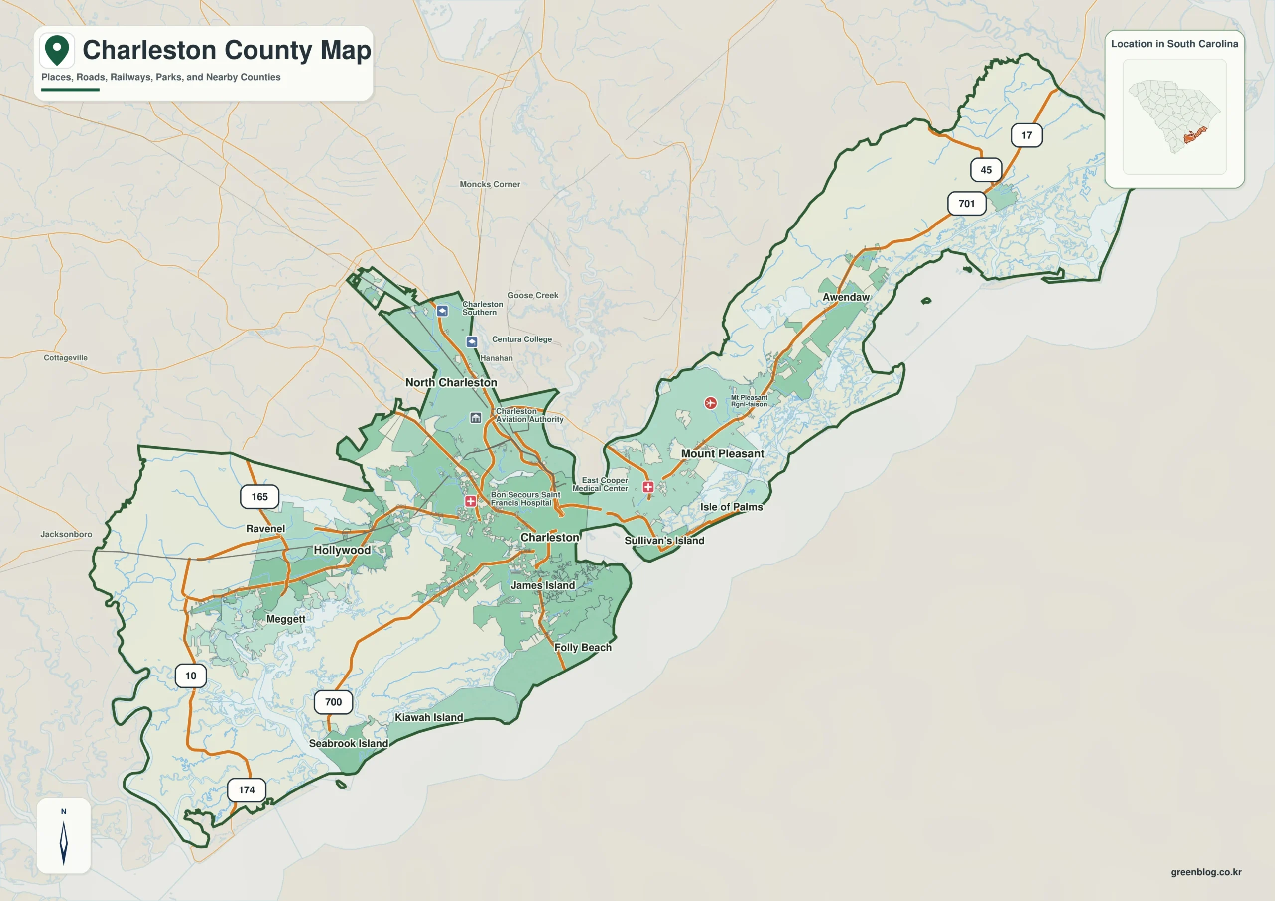
Charleston County Map Download
The WEBP image provides the on-page preview, while the JPG file is the downloadable map. Both use the same county-boundary reference design.
- Preview: WEBP
- Download: JPG
- Coverage: county boundary with Charleston and Mount Pleasant reference labels
Table of Contents
Quick Facts
| State | South Carolina |
|---|---|
| County | Charleston County |
| County seat | Charleston |
| Second map reference | Mount Pleasant |
| SCAC population | 408,235 |
| Land area | 919 sq mi |
| Founded | 1769 |
| Broad regional context | lower Coastal Plain / Lowcountry |
| Download | JPG |
The table separates map content from background facts. Charleston and Mount Pleasant are the two place names used on the image; population, land area, and the 1769 founding year are supporting context for readers comparing several South Carolina counties.
What the Map Actually Shows
The map is intentionally selective. It labels Charleston and Mount Pleasant against the Charleston County boundary, giving readers two recognizable place references without implying that every municipality, road, stream, or local district is shown. Charleston is the county seat, while Mount Pleasant serves as a second name for orientation. The labels should be read as reference text rather than survey-grade point locations.
County Layout and Neighboring Areas
Charleston County is described broadly within the lower Coastal Plain / Lowcountry setting and lies in the Atlantic/Lowcountry side of South Carolina. For county-to-county orientation, the most useful verified references are its actual neighbors, including Berkeley County, Colleton County, Dorchester County. Comparing those boundaries shows where the county sits within South Carolina more reliably than adding unverified road or river detail to a simple county map.
Local Context for Reading the Boundary
SCAC lists a population of 408,235 and 919 square miles of land for Charleston County. Within South Carolina’s 46 counties, those figures place it 3rd in population and 7th in land area. The county was founded in 1769, while Charleston is the present county seat. Those facts add useful scale and administrative context without changing the primary purpose of the page as a downloadable map reference.
Ways to Use This Map
- Place the map in a report or presentation that needs a clean county outline without a full street network.
- Use the JPG for a consistent county-by-county comparison of population rank, land-area rank, and boundary shape.
- Use the file to distinguish the administrative role of Charleston from the secondary reference name Mount Pleasant.
- Compare the Charleston County outline with Berkeley County and Colleton County when explaining neighboring boundaries.
Frequently Asked Questions
Which county maps should I compare with Charleston County?
The most relevant comparisons are actual neighbors such as Berkeley County, Colleton County, Dorchester County. Reading adjacent outlines together is useful for understanding where the county sits inside South Carolina without adding details that are not drawn on the map.
Does the map show the full lower Coastal Plain / Lowcountry geography?
No. The lower Coastal Plain / Lowcountry description is broad regional context for the article. The image itself shows the Charleston County boundary and the reference labels Charleston and Mount Pleasant; detailed physical features are outside the scope of this file.
Sources
- South Carolina Association of Counties – County Information: county seat, population, and land area
- SCAC County Directory Pages: founding year
- U.S. Census Bureau TIGERweb: county boundary reference
- South Carolina Geological Survey: broad regional physical-geography context
Related County Maps
- Berkeley County South Carolina map
- Colleton County South Carolina map
- Dorchester County South Carolina map
- Georgetown County South Carolina map
Green Map creates custom-edited map images using open geographic data sources such as geoBoundaries, Natural Earth, OpenStreetMap, and government open data.
These maps are edited visual materials, not raw data files, and are provided for education, documents, presentations, and graphic reference.