A Bulgaria Map can be useful for much more than simply identifying the country’s location in southeastern Europe. Teachers preparing geography lessons, students creating regional reports, bloggers writing about the Balkans, and designers building educational graphics often need a map that is easy to read, print, and customize. Because Bulgaria combines inland regions with a Black Sea coastline and shares borders with several neighboring countries, visual references are often more helpful than text alone when explaining its geographic structure.
Located in the southeastern part of the Balkan Peninsula, Bulgaria borders Romania, Serbia, North Macedonia, Greece, Turkey, and the Black Sea. The country has a population of roughly seven million people and is organized into multiple administrative regions spread across a varied landscape of mountains, plains, and coastal areas. Sofia, the capital city, serves as the country’s largest urban center and an important reference point on most regional maps.
This printable Bulgaria Map collection includes multiple formats designed for different purposes. Along with a color regional map and a blank outline version, a more detailed administrative map is also included for users who need a closer look at Bulgaria’s internal divisions. The files were prepared in high resolution for A3 printing and can be used for classroom handouts, educational worksheets, infographic projects, travel presentations, and graphic editing work.
While organizing this collection, extra attention was given to regional readability and label visibility. One thing that became clear during the design process was that Bulgaria’s administrative structure benefits from both simplified and detailed versions. Some users only need a broad regional overview, while others require a more granular administrative reference. Including both formats makes the collection more flexible for different types of projects.
Table of Contents
Bulgaria Map Versions Included
Four map styles are included, allowing users to choose the level of detail that best fits their project.
Regional Color Map
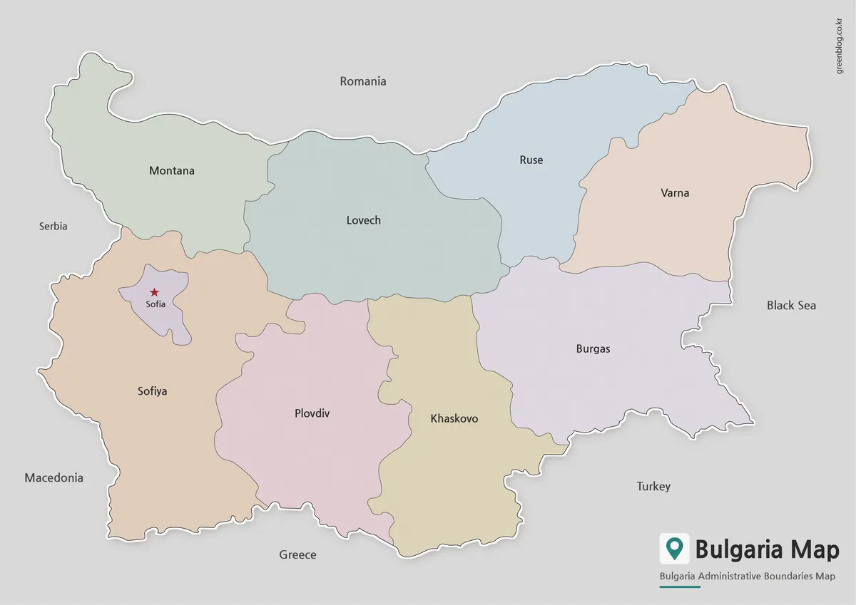
Designed for quick visual reference, the color Bulgaria Map highlights major regions using distinct colors while making Sofia easy to identify through visual emphasis. This layout helps users understand the country’s overall structure without becoming overloaded with small administrative details.
Neighboring countries are identified in a simplified way to keep the design clean and presentation-friendly. The result works well for educational materials, travel content, and regional comparison projects.
Best for:
- Geography lessons
- Travel presentations
- Blog graphics
- Regional comparison
- Educational reference
Black and White Printable Version
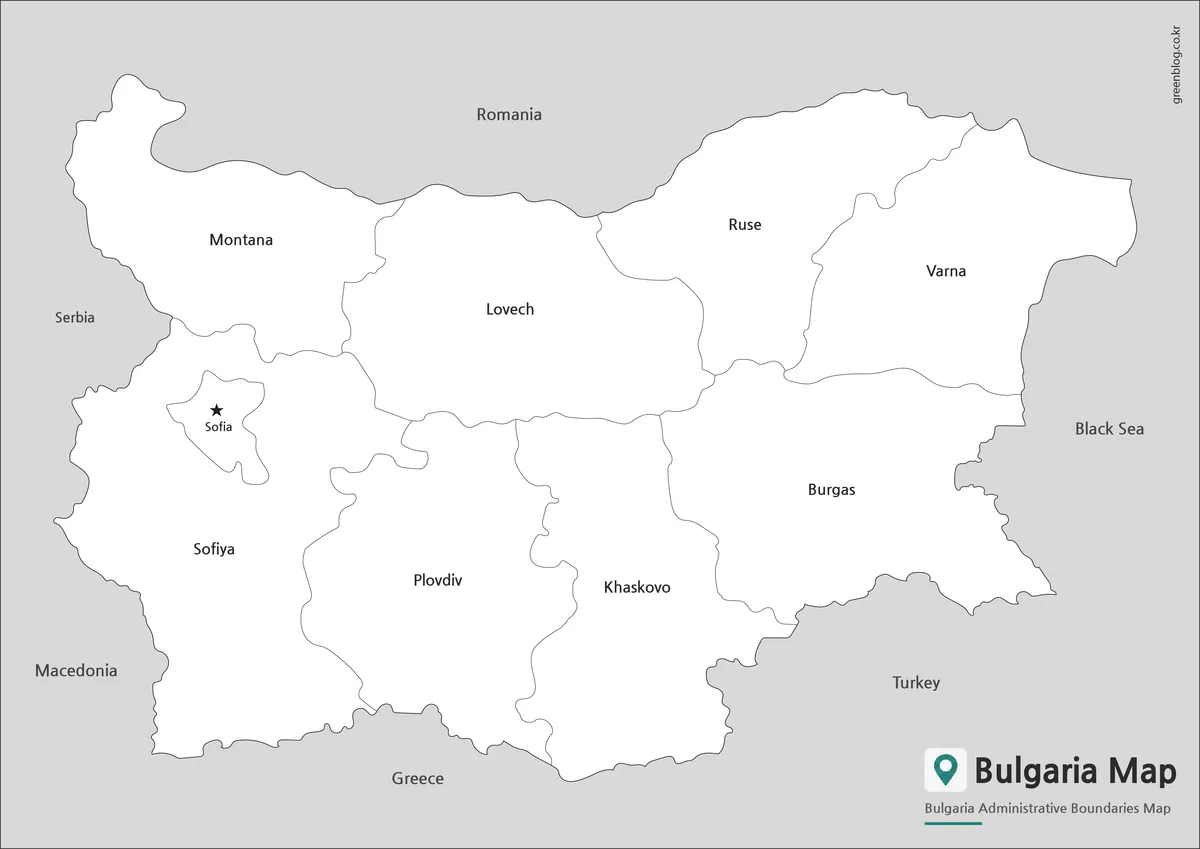
A simplified black and white layout offers a cleaner appearance for printed materials. By removing color distractions, boundaries and labels become easier to read when used in worksheets, reports, or classroom handouts.
This format also provides extra flexibility for users who want to add notes, highlight specific areas, or apply their own color schemes.
Best for:
- Worksheets
- Printed reports
- Study materials
- Classroom activities
- Annotation projects
Outline Map for Editing
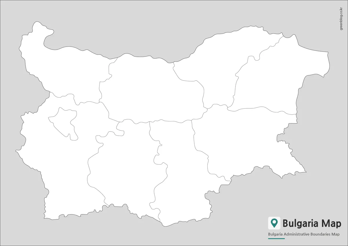
The outline Bulgaria Map removes labels and colors, leaving only the boundary framework. This version serves as a flexible base for customization and graphic design work.
Designed with editing in mind, the outline structure can be used for demographic maps, infographic projects, travel route planning, or educational exercises. Boundary lines were reviewed to help ensure smooth color-filling and annotation workflows.
Best for:
- Graphic design
- Data visualization
- Educational exercises
- Infographic projects
- Custom map creation
Understanding Bulgaria’s Regional Layout
Bulgaria’s location on the Balkan Peninsula makes regional organization especially important. The country’s territory stretches from the Danube River in the north to the Turkish and Greek borders in the south, while the Black Sea coastline creates a distinct eastern region.
One reason a detailed Bulgaria Map can be particularly useful is the variety of geographic zones found within a relatively compact country. Coastal areas, mountain regions, and inland plains all contribute to regional differences that are easier to understand visually than through written descriptions alone.
Including both simplified and detailed administrative versions allows users to focus either on the overall structure or on smaller regional divisions depending on their specific needs.
Built for Printing and Visual Projects
This Bulgaria Map collection was prepared for both digital viewing and printed use. Labels were checked for readability at larger sizes, and layouts were reviewed to ensure that boundaries remain visible when enlarged.
Common uses include:
- Classroom handouts
- Geography lessons
- Regional comparison studies
- Educational worksheets
- Travel presentations
- Blog graphics
- Infographic projects
- Graphic editing work
The variety of included formats makes it easier to select a version that matches the intended project without requiring additional editing.
Frequently Asked Questions
Can I print the Bulgaria Map in A3 size?
Yes. All included files were prepared in high resolution and work well for A3 printing.
Which Bulgaria Map version is best for presentations?
The color regional version is usually the easiest to read on presentation slides.
Is the Bulgaria Map outline version editable?
Yes. The outline version was specifically designed for annotation, customization, and graphic editing.
What does the detailed Bulgaria Map include?
It includes smaller administrative divisions beyond the broader regional layout shown in the standard map.
Bulgaria Map Download
Choose the version that best matches your project. Regional, detailed administrative, and outline formats are included for printing and editing.
- File Format: JPG / PNG
- Image Size: A3 High Resolution
- Intended Use: Education, Printing, Presentations, Editing
Related Maps
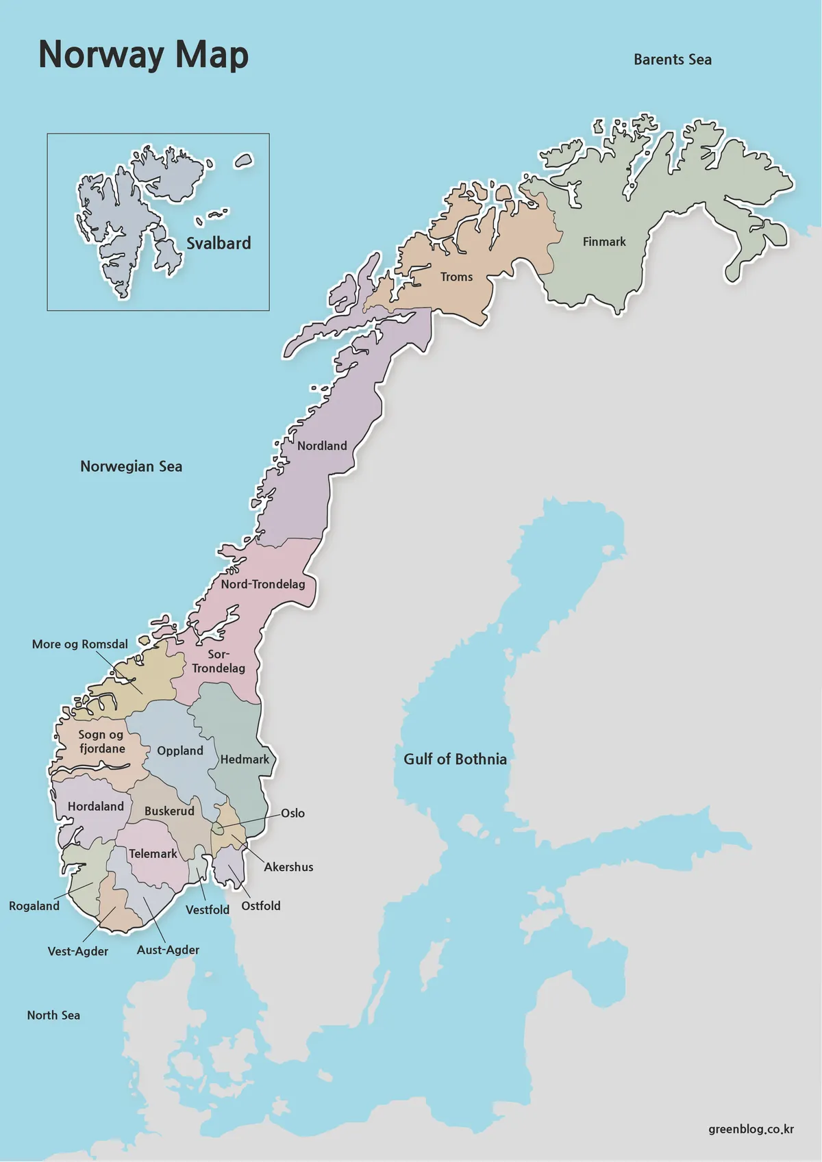
- Belarus Map Collection: Printable Administrative, Labeled, and Outline Maps
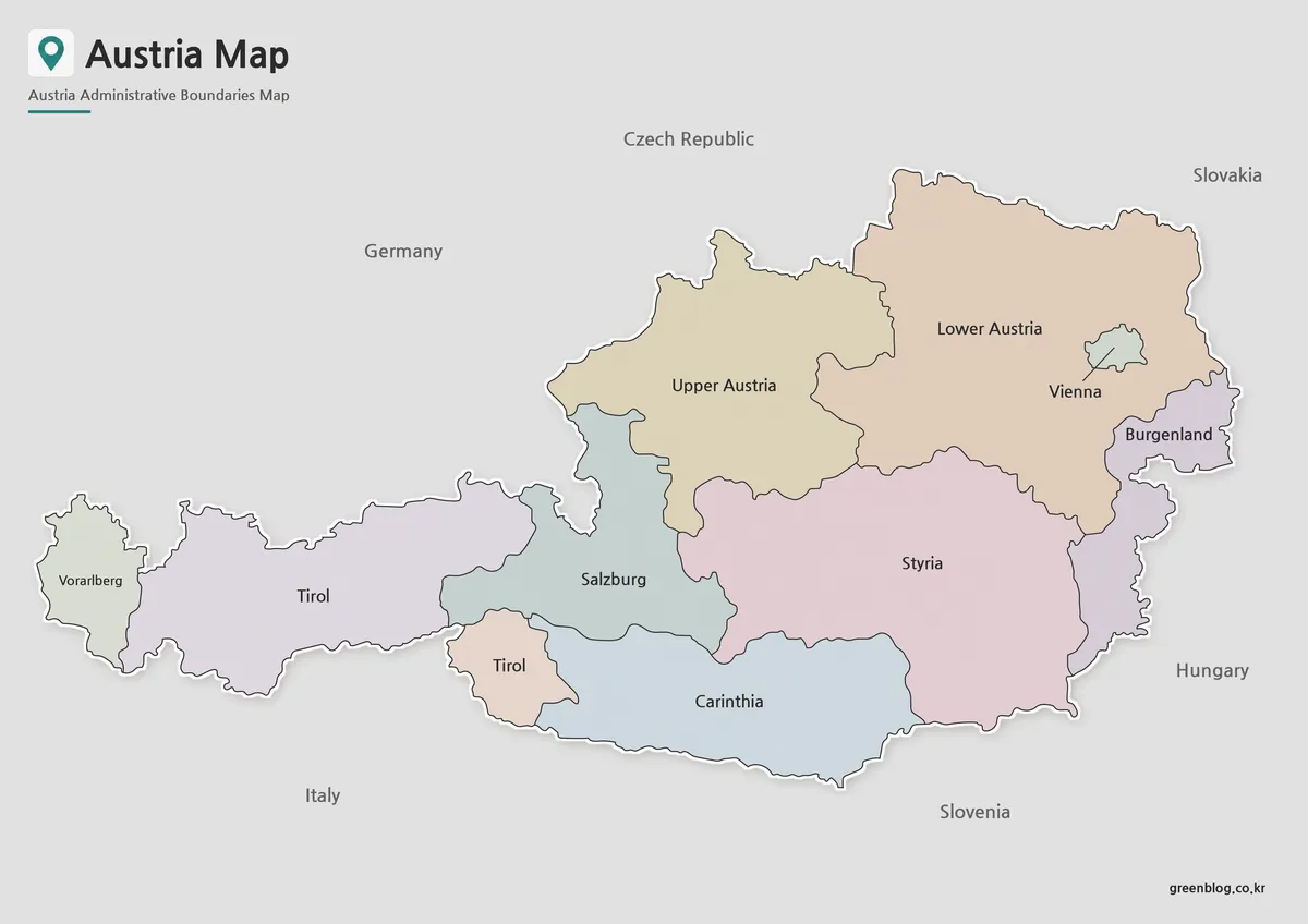
- High-Resolution Austria Map for Education, Travel, and Graphic Projects
- Printable Armenia Map Download – High Resolution A3 Map Set
- Estonia Map Download for Printing, Classroom Use, and Graphic Editing
Additional Resources
- OpenStreetMap – Bulgaria : Interactive map of Bulgaria showing cities, roads, administrative boundaries, and geographic features.